Bodham

Civil Parish in Norfolk North Norfolk

England

Bodham

Baconsthorpe Castle Outer Gatehouse <span class="nowrap"><a title="https://historicengland.org.uk/listing/the-list/list-entry/1013093?section=official-listing" rel="nofollow ugc noopener" href="https://historicengland.org.uk/listing/the-list/list-entry/1013093?section=official-listing">Link</a><img style="margin-left:2px;" alt="External link" title="External link - shift click to open in new window" src="https://s1.geograph.org.uk/img/external.png" width="10" height="10"/></span>
Baconsthorpe Castle Outer Gatehouse Credit: Sandy Gerrard

Bodham is a civil parish located in the county of Norfolk, England. Situated in the North Norfolk district, it lies approximately 3 miles west of the coastal town of Sheringham and 25 miles north of the city of Norwich. The parish covers an area of around 3.5 square miles and is home to a population of approximately 600 residents.

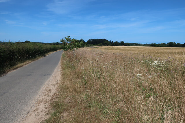
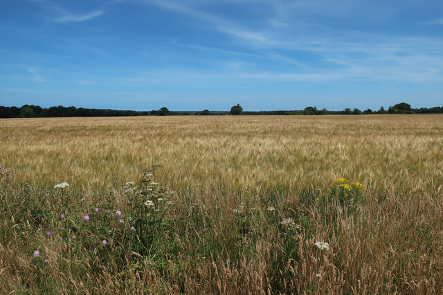
Bodham is a picturesque village surrounded by beautiful countryside, making it an attractive destination for nature lovers and those seeking a peaceful retreat. The village itself is characterized by traditional Norfolk flint and brick cottages, giving it a charming and quintessential English feel.

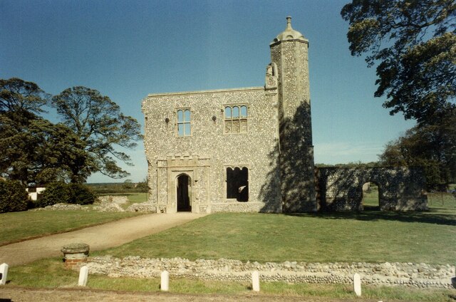
The heart of the village is centered around St. Mary's Church, a historic building dating back to the 14th century. The church, with its striking tower, is a prominent landmark in the area and serves as a focal point for the community.

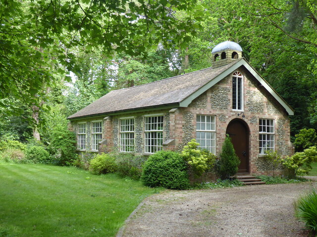
Despite its small size, Bodham offers a range of amenities for its residents and visitors. These include a primary school, a village hall, a playground, and a pub, providing essential services and a sense of community.

The surrounding area offers plenty of opportunities for outdoor activities, such as walking, cycling, and birdwatching. The North Norfolk coast is easily accessible, offering stunning sandy beaches, rugged cliffs, and nature reserves teeming with wildlife.

Overall, Bodham is a peaceful and picturesque village, offering a tranquil escape from the hustle and bustle of city life, while still providing essential amenities and easy access to the natural beauty of the Norfolk countryside and coast.

If you have any feedback on the listing, please let us know in the comments section below.
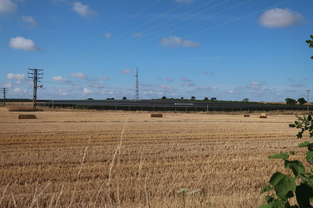
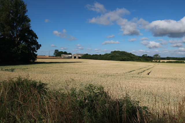
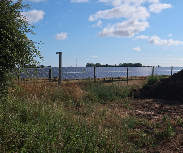
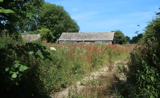
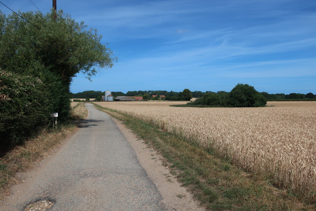
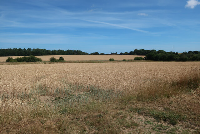
Bodham Images

Images are sourced within 2km of 52.911093/1.155976 or Grid Reference TG1239. Thanks to Geograph Open Source API. All images are credited.

Baconsthorpe Castle Outer Gatehouse <span class="nowrap"><a title="https://historicengland.org.uk/listing/the-list/list-entry/1013093?section=official-listing" rel="nofollow ugc noopener" href="https://historicengland.org.uk/listing/the-list/list-entry/1013093?section=official-listing">Link</a><img style="margin-left:2px;" alt="External link" title="External link - shift click to open in new window" src="https://s1.geograph.org.uk/img/external.png" width="10" height="10"/></span>
Baconsthorpe Castle Outer Gatehouse
Baconsthorpe Castle and Moat <span class="nowrap"><a title="https://historicengland.org.uk/listing/the-list/list-entry/1013093?section=official-listing" rel="nofollow ugc noopener" href="https://historicengland.org.uk/listing/the-list/list-entry/1013093?section=official-listing">Link</a><img style="margin-left:2px;" alt="External link" title="External link - shift click to open in new window" src="https://s1.geograph.org.uk/img/external.png" width="10" height="10"/></span>
Baconsthorpe Castle and Moat
Baconsthorpe Castle Inner Gatehouse and Moat <span class="nowrap"><a title="https://historicengland.org.uk/listing/the-list/list-entry/1013093?section=official-listing" rel="nofollow ugc noopener" href="https://historicengland.org.uk/listing/the-list/list-entry/1013093?section=official-listing">Link</a><img style="margin-left:2px;" alt="External link" title="External link - shift click to open in new window" src="https://s1.geograph.org.uk/img/external.png" width="10" height="10"/></span>
Baconsthorpe Castle Inner Gatehouse and Moat
Rectory Road
Rectory Road
Solar farm near Bodham Hill
Field by New Road
Field by New Road
Solar farm near Bodham Hill
Buildings by Rectory Road See <a href="https://www.geograph.org.uk/photo/3938108">TG1338 : RAF West Beckham radar station (C Site)</a> for more details.
Buildings by Rectory Road
Access track to Baconsthorpe Castle
Fields near Baconsthorpe Castle
Baconsthorpe Castle gatehouse fenced off The ruins have been deemed to need repair work and are fenced off for safety until that is completed. See <a href="https://www.geograph.org.uk/photo/1043155">TG1238 : The gatehouses, Baconsthorpe Castle, Baconsthorpe</a> for more details.
Baconsthorpe Castle gatehouse fenced off
The ruins have been deemed to need repair work and are fenced off for safety until that is completed. See TG1238 : The gatehouses, Baconsthorpe Castle, Baconsthorpe for more details.
Baconsthorpe Castle fenced off The ruins have been deemed to need repair work and are fenced off for safety until that is completed. See <a href="https://www.geograph.org.uk/photo/2565895">TG1238 : Baconsthorpe Castle</a> for more details.
Baconsthorpe Castle fenced off
The ruins have been deemed to need repair work and are fenced off for safety until that is completed. See TG1238 : Baconsthorpe Castle for more details.
Road to West Beckham
Barley field near Bodham Hill
High Kelling, All Saints
Barn at Hall Farm <span class="nowrap"><a title="https://historicengland.org.uk/listing/the-list/list-entry/1373486?section=official-list-entry" rel="nofollow ugc noopener" href="https://historicengland.org.uk/listing/the-list/list-entry/1373486?section=official-list-entry">Link</a><img style="margin-left:2px;" alt="External link" title="External link - shift click to open in new window" src="https://s1.geograph.org.uk/img/external.png" width="10" height="10"/></span>
Barn at Hall Farm
Footpath leading between Baconsthorpe Castle and Village
Baconsthorpe Castle Baconsthorpe Castle is a fortified manor house, now a ruin, to the north of the village of Baconsthorpe, Norfolk. It has been designated by English Heritage as a Grade I listed building,and is a Scheduled Ancient Monument. The Heydons, a weealthy Norfolk family occupied this site over 200 years, successive generations of this ambitious family built, then enlarged, and finally abandoned this castle.
Baconsthorpe Castle
Baconsthorpe Castle is a fortified manor house, now a ruin, to the north of the village of Baconsthorpe, Norfolk. It has been designated by English Heritage as a Grade I listed building,and is a Scheduled Ancient Monument. The Heydons, a weealthy Norfolk family occupied this site over 200 years, successive generations of this ambitious family built, then enlarged, and finally abandoned this castle.
Show me another place!

Bodham is located at Grid Ref: TG1239 (Lat: 52.911093, Lng: 1.155976)

Administrative County: Norfolk

District: North Norfolk

Police Authority: Norfolk

What 3 Words

///catapult.capers.verge. Near Sheringham, Norfolk

Related Wikis

Bodham

Bodham is a civil parish in the English county of Norfolk. The village is 27.2 miles north north west of Norwich, 6.4 miles west of Cromer and 131 miles...

West Beckham

West Beckham is a village and a civil parish in the English county of Norfolk The village is 6.1 miles (9.8 km) west south west of Cromer, 25.3 miles...
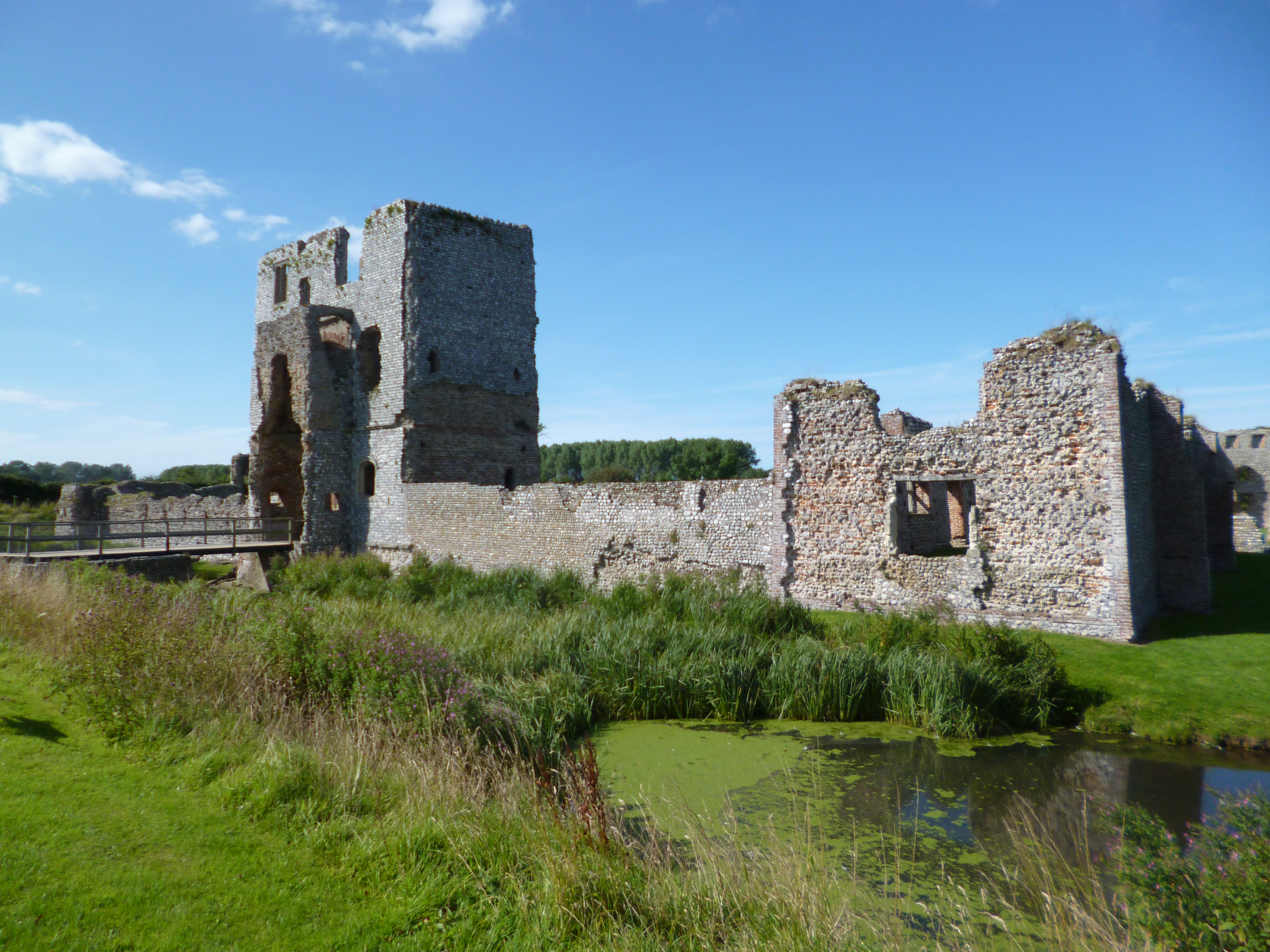
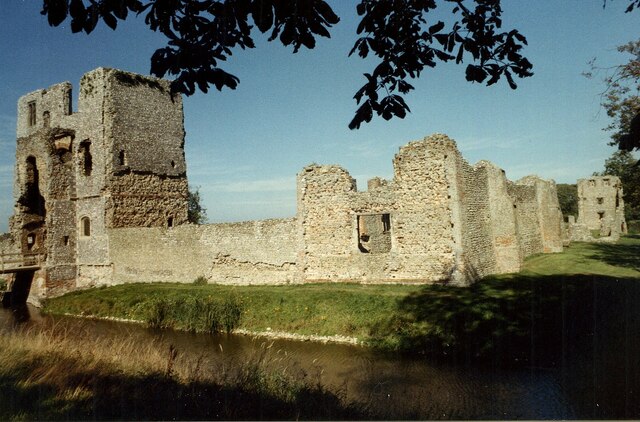
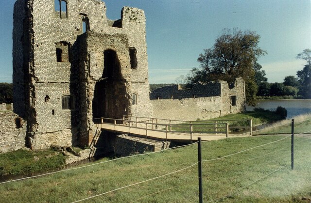
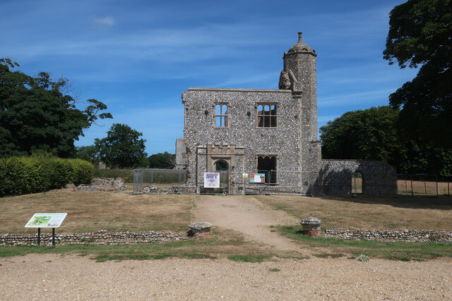
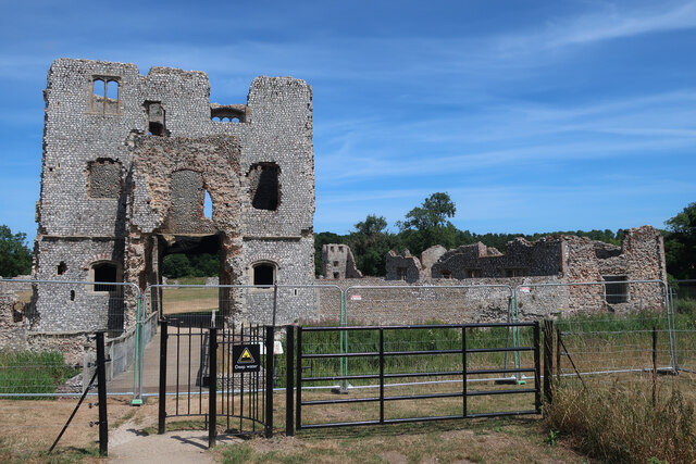
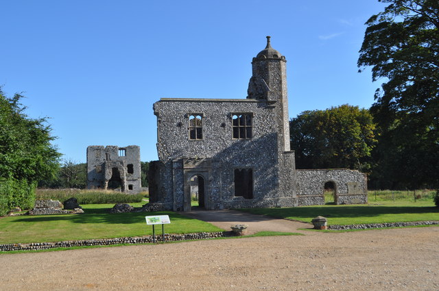
Baconsthorpe Castle

Baconsthorpe Castle, historically known as Baconsthorpe Hall, is a ruined, fortified manor house near the village of Baconsthorpe, Norfolk, England. It...

RAF West Beckham

Royal Air Force West Beckham, commonly known as RAF West Beckham, is a former Chain Home radar station controlled by the Royal Air Force (RAF) located...

Nearby Amenities

Located within 500m of 52.911093,1.155976
Manor Farm
Place: farm
Lat/Long: 52.9075523/1.1519234
Power: pole
Lat/Long: 52.9143304/1.1537039
Power: pole
Lat/Long: 52.9142204/1.1514187
Power: pole
Lat/Long: 52.9122196/1.1620563
Power: pole
Lat/Long: 52.9114109/1.1610424
Power: pole
Lat/Long: 52.9109434/1.1604282
Power: pole
Lat/Long: 52.9103352/1.1596799
Power: pole
Lat/Long: 52.9094229/1.1585265
Power: pole
Lat/Long: 52.9087775/1.1577085
Power: pole
Lat/Long: 52.9082324/1.1570567
Power: pole
Lat/Long: 52.9075206/1.1562413
Power: pole
Lat/Long: 52.9065969/1.1559865
Power: pole
Lat/Long: 52.9141848/1.1612436
The data included in this document is from www.openstreetmap.org. The data is made available under ODbL.

Have you been to Bodham?

Leave your review of Bodham below (or comments, questions and feedback).