Bristnall Fields

Settlement in Worcestershire

England

Bristnall Fields

Under the M5 at Oldbury The 18th C canal is overtopped by the 20th C motorway. Surely a concrete tribute to the route chosen by James Brindley the canal engineer.
Under the M5 at Oldbury Credit: Stuart Logan

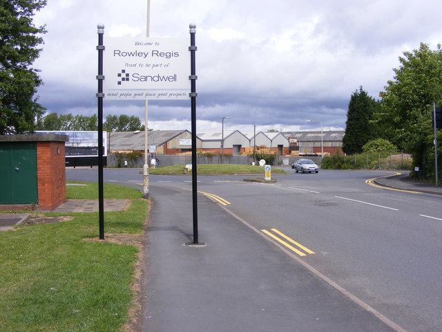
Bristnall Fields is a small village located in the county of Worcestershire, England. Situated in the West Midlands region, it lies approximately 2 miles southeast of the town of Oldbury. The village is part of the Metropolitan Borough of Sandwell and falls within the Bristnall ward.

Bristnall Fields is a residential area characterized by its peaceful and scenic surroundings. The village is primarily made up of a mix of housing types, including detached and semi-detached houses, as well as some small apartment buildings. The architecture of the area is diverse, combining modern designs with more traditional styles.

The village benefits from a range of amenities and services, including several local shops, a post office, and a few pubs and restaurants. For those seeking outdoor activities, Bristnall Fields is located close to nature reserves and green spaces, providing opportunities for walking, cycling, and enjoying the countryside.

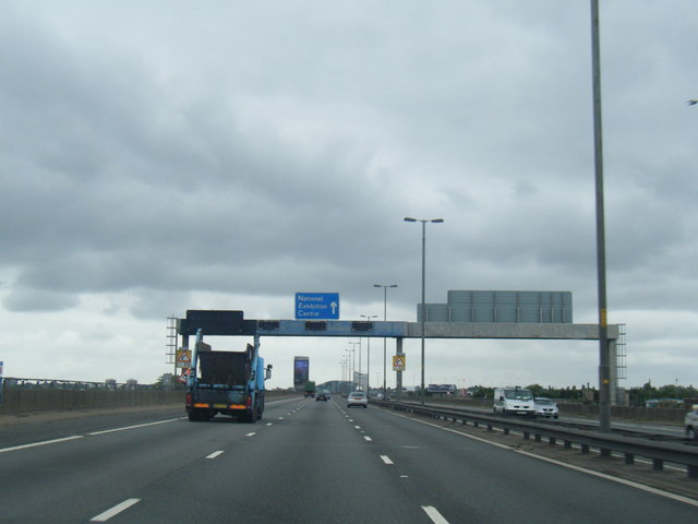
Transport links are easily accessible, with regular bus services connecting the village to nearby towns and cities. The M5 motorway is also within close proximity, offering convenient access to Birmingham and other major cities in the region.

Education is well catered for in Bristnall Fields, with a number of primary and secondary schools in the surrounding area. The village also benefits from good healthcare facilities, including doctor's surgeries and a local hospital.

Overall, Bristnall Fields offers a peaceful and picturesque environment for residents, with a range of amenities and services to support a comfortable lifestyle.

If you have any feedback on the listing, please let us know in the comments section below.

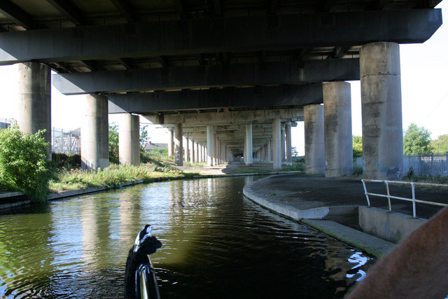
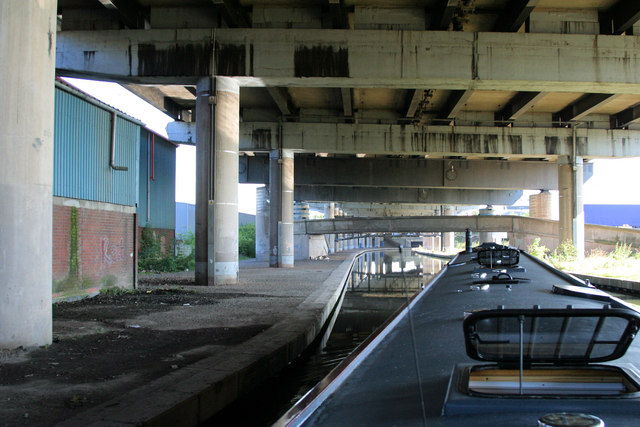
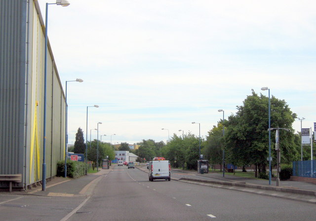
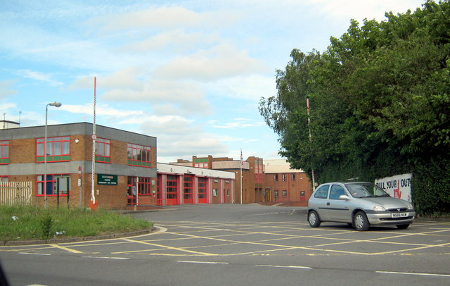
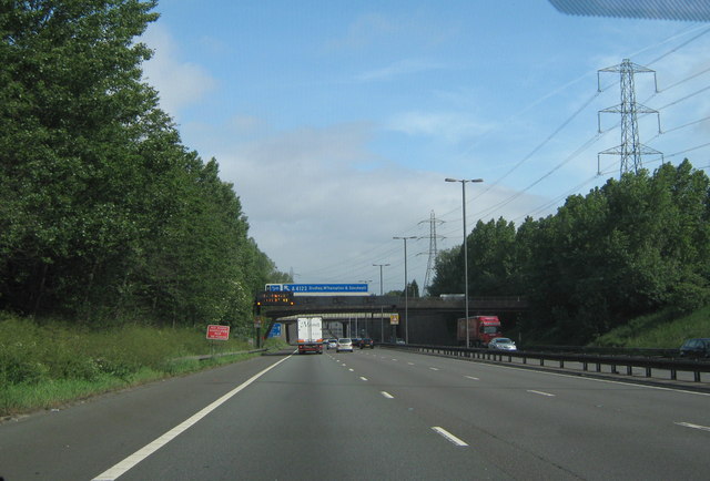
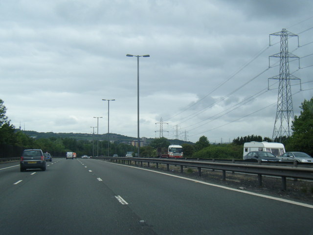
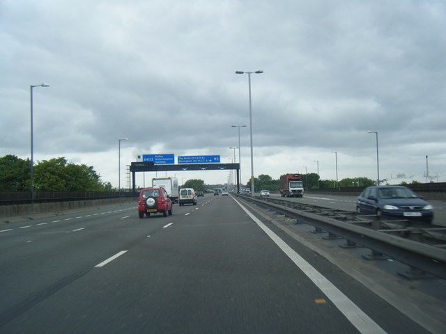
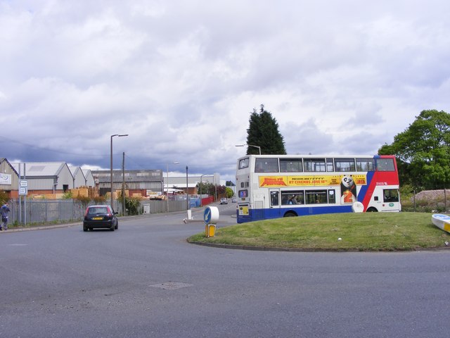
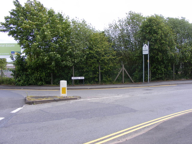
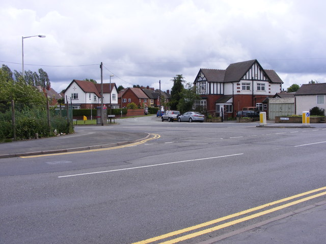
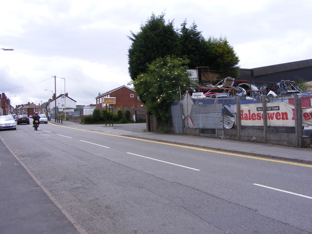
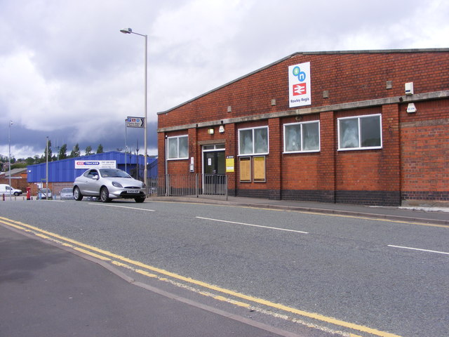
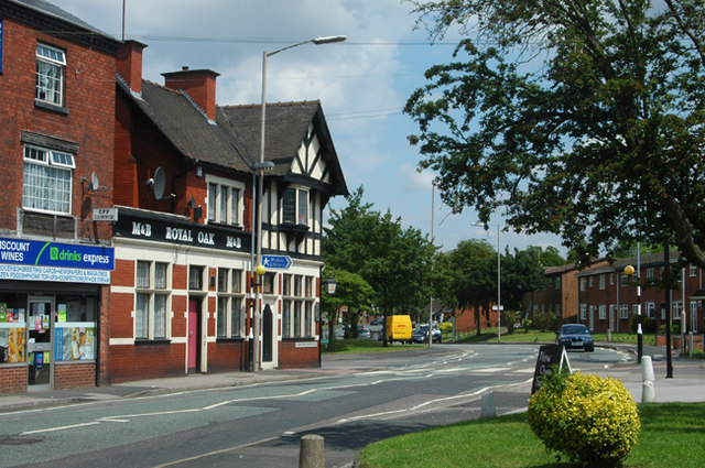
Bristnall Fields Images

Images are sourced within 2km of 52.482783/-2.005711 or Grid Reference SO9987. Thanks to Geograph Open Source API. All images are credited.

Under the M5 at Oldbury The 18th C canal is overtopped by the 20th C motorway. Surely a concrete tribute to the route chosen by James Brindley the canal engineer.
Under the M5 at Oldbury
The 18th C canal is overtopped by the 20th C motorway. Surely a concrete tribute to the route chosen by James Brindley the canal engineer.
Different levels of transport The old main line of the Birmingham Canal has been overtopped by the M5 motorway and various footbridges.
Different levels of transport
The old main line of the Birmingham Canal has been overtopped by the M5 motorway and various footbridges.
Sandwell Border The view from Nimmings Road in Halesowen Dudley towards Rowley Regis.
Sandwell Border
The view from Nimmings Road in Halesowen Dudley towards Rowley Regis.
Oldbury, Churchbridge, Park Street on Left in Distance
Oldbury Fire Station, Junction 2 M5 Motorway
M5 Motorway, B4169 Crossing Just Before Junction 3, Northboundj
M5 northbound near Blackheath
M5 northbound approaching junction 2
M5 northbound
M5 northbound
Way in and out of a trading estate
Railway Car Park The view alongside Rowley Regis Railway Station.
Railway Car Park
The view alongside Rowley Regis Railway Station.
Station Gate The view into Rowley Regis Railway Station from the car park.
Station Gate
The view into Rowley Regis Railway Station from the car park.
Station Path The view down the path to Rowley Regis Railway Station.
Station Path
The view down the path to Rowley Regis Railway Station.
Island Bus The view across the roundabout down Cakemore Road near Rowley Regis Railway Station.
Island Bus
The view across the roundabout down Cakemore Road near Rowley Regis Railway Station.
Nimmings Road The view in Rowley Regis on the border of Halesowen.
Nimmings Road
The view in Rowley Regis on the border of Halesowen.
Douglas Road Junction The view in Rowley Regis Railway from Nimmings Road.
Douglas Road Junction
The view in Rowley Regis Railway from Nimmings Road.
Halesowen Scrapyard The view in Nimmings Road Rowley Regis.
Halesowen Scrapyard
The view in Nimmings Road Rowley Regis.
Rowley Regis Station The view in Station Road of Rowley Regis Railway Station.
Rowley Regis Station
The view in Station Road of Rowley Regis Railway Station.
Show me another place!

Bristnall Fields is located at Grid Ref: SO9987 (Lat: 52.482783, Lng: -2.005711)

Unitary Authority: Sandwell

Police Authority: West Midlands

What 3 Words

///button.bumps.foal. Near Oldbury, West Midlands

Related Wikis

Warley, West Midlands

Warley is a residential area of Oldbury in the Metropolitan Borough of Sandwell in the West Midlands of the United Kingdom. Historically in both Worcestershire...

Smethwick (UK Parliament constituency)

Smethwick was a parliamentary constituency, centred on the town of Smethwick in Staffordshire. It returned one Member of Parliament (MP) to the House of...

Oldbury Academy

Oldbury Academy (formerly Oldbury College of Sport) is a mixed secondary school and former sixth form located in Oldbury, West Midlands, England. It opened...

Q3 Academy Langley

Q3 Academy Langley is a coeducational secondary school located in the Langley Green area of Oldbury in the West Midlands of England.There has been a school...

Langley Green, West Midlands

Langley Green is an area of Oldbury, on the B4169 road, in the Metropolitan Borough of Sandwell, in the English county of West Midlands. The appropriate...

Bristnall Hall Academy

Bristnall Hall Academy (formerly Bristnall Hall Technology College and Bristnall Hall High School) is a secondary school with academy status located in...

Londonderry, West Midlands

Londonderry is a residential area of Oldbury and Smethwick, on the B4182 road, in the Sandwell Metropolitan Borough, in the English county of West Midlands...

Warley (UK Parliament constituency)

Warley is a constituency in the House of Commons of the UK Parliament. The constituency was established in 1997, and has been represented since that date...

Nearby Amenities

Located within 500m of 52.482783,-2.005711
Turning Circle
Lat/Long: 52.4823862/-2.0010124
Neighbourhood Office
Bristnall Neighbourhood Office
Lat/Long: 52.4816139/-1.9991196
Barrier: bollard
Bollard: fixed
Lat/Long: 52.4817385/-2.0072155
Turning Circle
Lat/Long: 52.4795975/-2.0014274
Turning Circle
Lat/Long: 52.481214/-2.0023182
Pub
The Plough
Addr Housenumber: 7
Addr Postcode: B68 9LH
Addr Street: George Road
Fhrs Id: 80277
Source Addr: FHRS Open Data
Lat/Long: 52.4792096/-2.0033813
Post Box
Postal Code: B68
Ref: B68 1046
Lat/Long: 52.484903/-2.0096102
Place Of Worship
Warley Institutional Church
Religion: christian
Lat/Long: 52.4802619/-2.0058312
Booth: K6
Removed Amenity: telephone
Lat/Long: 52.479719/-2.0042947
Post Office
Bristnall Fields Post Office
Addr City: Warley
Addr Housenumber: 257
Addr Postcode: B68 8NQ
Addr Street: Pound Road
Brand: Post Office
Brand Wikidata: Q1783168
Opening Hours: Mo-Fr 09:00-17:30; Sa 09:00-14:30
Ref Pol Id: 10670
Website: https://www.postoffice.co.uk/branch-finder/268246x/bristnall-fields
Lat/Long: 52.4795157/-2.0044071
Post Box
Operator: Royal Mail
Operator Wikidata: Q638098
Postal Code: B68
Ref: B68 175
Lat/Long: 52.4795646/-2.0043223
Bus Stop
George Rd / Bristnall Fields
NaPTANAreaCode: 43000932601
Asset Ref: 307160
Bench: yes
Bin: yes
Bus: yes
Lit: yes
Location: George Road;Bristall Fields
Naptan AtcoCode: 43000932601
Naptan Bearing: NW
Naptan BusStopType: MKD
Naptan CommonName: Bristnall Fields
Naptan Indicator: before
Naptan NaptanCode: nwmpdmja
Naptan PlusbusZoneRef: BHAMNWS
Naptan Status: ACT
Naptan StopType: BCT
Naptan Street: GEORGE RD
Naptan Towards: Oldbury
Public Transport: platform
Route Ref: 50C;122;128;129
Shelter: yes
Shelter Ref: 307160
Source: WMCA
Tactile Paving: no
Lat/Long: 52.4791878/-2.0032581
Bus Stop
George Rd / Bristnall Fields
NaPTANAreaCode: 43000932602
Bench: yes
Bin: yes
Bus: yes
Lit: yes
Naptan AtcoCode: 43000932602
Naptan Bearing: SE
Naptan BusStopType: MKD
Naptan CommonName: Bristnall Fields
Naptan Indicator: after
Naptan NaptanCode: nwmpdmjd
Naptan PlusbusZoneRef: BHAMNWS
Naptan Status: ACT
Naptan StopType: BCT
Naptan Street: GEORGE RD
Naptan Towards: Bearwood
Naptan Verified: no
Public Transport: platform
Route Ref: 50A;122;128;129
Shelter: yes
Shelter Ref: 307112
Source: WMCA
Tactile Paving: no
Lat/Long: 52.4791531/-2.003038
Bus Stop
Pound Rd / Oldbury College Of Sport
Bench: no
Bin: no
Bus: yes
Lit: no
Naptan AtcoCode: 43000934101
Naptan Bearing: W
Naptan BusStopType: MKD
Naptan CommonName: Oldbury College of Sport
Naptan Indicator: adj
Naptan NaptanCode: nwmpdmwm
Naptan PlusbusZoneRef: BHAMNWS
Naptan Status: ACT
Naptan StopType: BCT
Naptan Street: POUND RD
Naptan Towards: Blackheath
Naptan Verified: no
Public Transport: platform
Route Ref: 129
Shelter: no
Source: WMCA
Tactile Paving: no
Lat/Long: 52.4805507/-2.0089316
Bus Stop
Pound Rd / Oldbury College Of Sport
NaPTANAreaCode: 43000934102
Asset Ref: 307155
Bench: yes
Bin: no
Bus: yes
Lit: no
Location: Pound Road;Oldbury College of Sport
Naptan AtcoCode: 43000934102
Naptan Bearing: E
Naptan BusStopType: MKD
Naptan CommonName: Oldbury College of Sport
Naptan Indicator: opp
Naptan NaptanCode: nwmpdmwp
Naptan PlusbusZoneRef: BHAMNWS
Naptan Status: ACT
Naptan StopType: BCT
Naptan Street: POUND RD
Naptan Towards: Warley
Public Transport: platform
Route Ref: 129
Shelter: yes
Shelter Ref: 307155
Source: WMCA
Tactile Paving: no
Towards: Langley
Lat/Long: 52.4805441/-2.008373
Bus Stop
Pound Rd / Bristnall Fields
Bus: yes
Naptan AtcoCode: 43000934201
Naptan Bearing: NW
Naptan BusStopType: MKD
Naptan CommonName: Bristnall Fields
Naptan Indicator: after
Naptan NaptanCode: nwmpdmwt
Naptan PlusbusZoneRef: BHAMNWS
Naptan Status: ACT
Naptan StopType: BCT
Naptan Street: POUND RD
Naptan Towards: Blackheath
Naptan Verified: no
Public Transport: platform
Route Ref: 122;129
Source: WMCA
Lat/Long: 52.4796672/-2.0048443
Bus Stop
Pound Rd / Bristnall Fields
Bus: yes
Naptan AtcoCode: 43000934202
Naptan Bearing: E
Naptan BusStopType: MKD
Naptan CommonName: Bristnall Fields
Naptan Indicator: before
Naptan NaptanCode: nwmpdpad
Naptan PlusbusZoneRef: BHAMNWS
Naptan Status: ACT
Naptan StopType: BCT
Naptan Street: POUND RD
Naptan Towards: Warley
Naptan Verified: no
Public Transport: platform
Route Ref: 122;129
Source: WMCA
Lat/Long: 52.479747/-2.0047182
Bus Stop
Bristnall Hall Rd / Knottsall Lane
Asset Ref: 0934301
Bus: yes
Location: Bristnall Hall Road;Knottsall Lane
Naptan AtcoCode: 43000934301
Naptan Bearing: SW
Naptan BusStopType: MKD
Naptan CommonName: Knottsall Lane
Naptan Indicator: opp
Naptan NaptanCode: nwmtdmgt
Naptan PlusbusZoneRef: BHAMNWS
Naptan Status: ACT
Naptan StopType: BCT
Naptan Street: BRISTNALL HALL RD
Naptan Towards: Bearwood
Public Transport: platform
Route Ref: 50A;128
Shelter: no
Source: WMCA
Towards: Smethwick
Lat/Long: 52.4812441/-2.0007228
Bus Stop
Bristnall Hall Rd / Knottsall Lane
Asset Ref: 0934302
Bus: yes
Location: Bristall Hall Road;Knottsall Lane
Naptan AtcoCode: 43000934302
Naptan Bearing: NE
Naptan BusStopType: MKD
Naptan CommonName: Knottsall Lane
Naptan Indicator: before
Naptan NaptanCode: nwmtdmgw
Naptan PlusbusZoneRef: BHAMNWS
Naptan Status: ACT
Naptan StopType: BCT
Naptan Street: BRISTNALL HALL RD
Naptan Towards: Oldbury
Public Transport: platform
Route Ref: 50C;128
Shelter: no
Source: WMCA
Towards: Blackheath
Lat/Long: 52.4810637/-2.0011122
Bus Stop
Pound Rd / Sandwell College
Bench: no
Bin: no
Bus: yes
Lit: yes
Location: Pound Road;Sandwell College
Naptan AtcoCode: 43009440101
Naptan Bearing: SE
Naptan BusStopType: MKD
Naptan CommonName: Sandwell College
Naptan Indicator: before
Naptan NaptanCode: nwmpmtpt
Naptan PlusbusZoneRef: BHAMNWS
Naptan Status: ACT
Naptan StopType: BCT
Naptan Street: POUND RD
Naptan Towards: Warley
Public Transport: platform
Route Ref: 129
Shelter: no
Source: WMCA
Tactile Paving: no
Lat/Long: 52.4813196/-2.0124302
Bus Stop
Pound Rd / Sandwell College
Bench: no
Bin: no
Bus: yes
Lit: yes
Naptan AtcoCode: 43009440102
Naptan Bearing: NW
Naptan BusStopType: MKD
Naptan CommonName: Sandwell College
Naptan Indicator: after
Naptan NaptanCode: nwmpmtpw
Naptan PlusbusZoneRef: BHAMNWS
Naptan Status: ACT
Naptan StopType: BCT
Naptan Street: POUND RD
Naptan Towards: Blackheath
Naptan Verified: no
Public Transport: platform
Route Ref: 129
Shelter: no
Source: WMCA
Tactile Paving: no
Lat/Long: 52.4812938/-2.012634
Tesco Express
Addr Postcode: B68 9TX
Addr Street: Bristnall Hall Road
Brand: Tesco Express
Brand Wikidata: Q98456772
Fhrs Id: 146058
Shop: convenience
Source Addr: FHRS Open Data
Website: https://www.tesco.com/store-locator/birmingham/bristnall-hall-rd
Lat/Long: 52.4817249/-1.9985526
Jugbury Hill (Barnford Hill)
Tourism: viewpoint
Lat/Long: 52.4852106/-2.0055193
Fixme: Medow Road Allotments plot size 3
Lat/Long: 52.4808348/-2.0076935
Turning Circle
Lat/Long: 52.4856554/-2.0111838
Barrier: bollard
Lat/Long: 52.4795026/-2.0040461
Barrier: bollard
Lat/Long: 52.4793874/-2.0041185
Barrier: bollard
Lat/Long: 52.4794609/-2.004038
Barrier: bollard
Lat/Long: 52.4794805/-2.0040367
Costcutter
Addr Housenumber: 259
Addr Postcode: B68 8NQ
Addr Street: Pound Road
Brand: Costcutter
Brand Wikidata: Q5175072
Brand Wikipedia: en:Costcutter
Contact Website: https://store-locator.costcutter.co.uk/costcutter-644c7cd55ccd
Fhrs Id: 575808
Shop: convenience
Source Addr: FHRS Open Data
Lat/Long: 52.4794488/-2.0043387
Barrier: bollard
Lat/Long: 52.4794233/-2.0040742
Barrier: bollard
Lat/Long: 52.4794405/-2.0040501
Barrier: bollard
Lat/Long: 52.4795467/-2.0041641
Barrier: bollard
Lat/Long: 52.479532/-2.0040917
Barrier: bollard
Lat/Long: 52.4794054/-2.004097
Barrier: bollard
Lat/Long: 52.4793678/-2.0041359
Barrier: bollard
Lat/Long: 52.4795418/-2.0041279
Barrier: bollard
Lat/Long: 52.4795197/-2.0040662
Bristnall Hall Fields
Place: village
Lat/Long: 52.4792997/-2.0038181
Crossing
Lat/Long: 52.4860477/-2.0032708
Barrier: lift_gate
Lat/Long: 52.4860478/-2.0033876
Barrier: bollard
Lat/Long: 52.4839016/-1.9985851
Barrier: bollard
Lat/Long: 52.4838853/-1.9986186
Barrier: bollard
Lat/Long: 52.4838616/-1.9986642
Warley Hill
Ele: 228
Natural: peak
Source Ele: Digimaps
Lat/Long: 52.4808971/-1.9990627
Barnford Hill
Ele: 207
Natural: peak
Source Ele: Digimaps
Lat/Long: 52.485157/-2.0056175
Bench
Backrest: yes
Lat/Long: 52.4851698/-2.0048146
Shelter
Lat/Long: 52.4807244/-2.0104758
Bicycle Parking
Lat/Long: 52.4806885/-2.0102613
Shelter
Lat/Long: 52.4807097/-2.0103713
Barrier: lift_gate
Lat/Long: 52.480584/-2.0098162
Fountain
Lat/Long: 52.4806584/-2.0100055
Bench
Lat/Long: 52.4805147/-2.0092008
Vending Machine
Bristnall Fields
Category: Stop
Mode: Bus
Naptan: 43000980102
Operator: TfWM
Payment: no
Postal Code: B68 9LF
Public Transport Ticket: Swift Card
Shelter: 307160
Source: TfWM
Top Up: yes
Vending: public_transport_tickets
Lat/Long: 52.479144/-2.0032396
Bus Stop
Farm Rd / Parkfield Rd
Bus: yes
Naptan AtcoCode: 43009522902
Naptan Bearing: S
Naptan BusStopType: MKD
Naptan CommonName: Parkfield Rd
Naptan Indicator: opp
Naptan NaptanCode: nwmwgtwt
Naptan Status: ACT
Naptan StopType: BCT
Naptan Street: FARM RD
Naptan Towards: Bearwood
Public Transport: platform
Route Ref: 122
Source: WMCA
Lat/Long: 52.4846383/-2.0094543
Bus Stop
Farm Rd / Parkfield Rd
Bus: yes
Naptan AtcoCode: 43009522901
Naptan Bearing: N
Naptan BusStopType: MKD
Naptan CommonName: Parkfield Rd
Naptan NaptanCode: nwmwgtwp
Naptan Status: ACT
Naptan StopType: BCT
Naptan Street: FARM RD
Naptan Towards: Oldbury
Public Transport: platform
Route Ref: 122
Source: WMCA
Lat/Long: 52.4847911/-2.0097635
Bus Stop
Farm Rd / Kenelm Rd
Bus: yes
Naptan AtcoCode: 43000935002
Naptan Bearing: N
Naptan BusStopType: MKD
Naptan CommonName: Kenelm Rd
Naptan Indicator: opp
Naptan NaptanCode: nwmtdmjd
Naptan Status: ACT
Naptan StopType: BCT
Naptan Street: FARM RD
Naptan Towards: Oldbury
Public Transport: platform
Route Ref: 122
Source: WMCA
Lat/Long: 52.4820221/-2.0103961
Bus Stop
Farm Rd / Kenelm Rd
Bus: yes
Naptan AtcoCode: 43000935001
Naptan Bearing: S
Naptan BusStopType: MKD
Naptan CommonName: Kenelm Rd
Naptan Indicator: adj
Naptan NaptanCode: nwmtdmja
Naptan Status: ACT
Naptan StopType: BCT
Naptan Street: FARM RD
Naptan Towards: Bearwood
Public Transport: platform
Route Ref: 122
Source: WMCA
Lat/Long: 52.4822019/-2.0102194
The Tanning Shop
Addr City: Oldbury
Addr Housenumber: 435
Addr Postcode: B68 8EJ
Addr Street: Moat Road
Leisure: tanning_salon
Phone: +44 121 544 1313
Website: https://thetanningshop.co.uk/oldbury/
Lat/Long: 52.4798031/-2.0040989
Generator Method: photovoltaic
Generator Output Electricity: yes
Generator Source: solar
Generator Type: solar_photovoltaic_panel
Location: roof
Power: generator
Lat/Long: 52.481266/-2.0067188
Generator Method: photovoltaic
Generator Output Electricity: yes
Generator Source: solar
Generator Type: solar_photovoltaic_panel
Location: roof
Power: generator
Lat/Long: 52.4805137/-2.0072405
Generator Method: photovoltaic
Generator Output Electricity: yes
Generator Source: solar
Generator Type: solar_photovoltaic_panel
Location: roof
Power: generator
Lat/Long: 52.4804753/-2.0070219
Generator Method: photovoltaic
Generator Output Electricity: yes
Generator Source: solar
Generator Type: solar_photovoltaic_panel
Location: roof
Power: generator
Lat/Long: 52.4804027/-2.0064519
Generator Method: photovoltaic
Generator Output Electricity: yes
Generator Source: solar
Generator Type: solar_photovoltaic_panel
Location: roof
Power: generator
Lat/Long: 52.4801772/-2.0029731
Social Facility
Oldbury, Salvation Army Foodbank
Addr City: Oldbury
Addr Full: Merton Close (off Pound Road) Oldbury B68 8NG
Addr Postcode: B68 8NG
Addr Street: Merton Close
Addr Suburb: Meir
Email: oldbury.corps@salvationarmy.org.uk
Network: Independent
Parliamentary Constituency: Warley
Phone: +44 1215526901
Social Facility: food_bank
Social Facility For: underprivileged
Source: give_food
Website: https://www.givefood.org.uk/needs/at/salvation-army/oldbury/
Lat/Long: 52.4803234/-2.0058632
The data included in this document is from www.openstreetmap.org. The data is made available under ODbL.

Have you been to Bristnall Fields?

Leave your review of Bristnall Fields below (or comments, questions and feedback).