Blyford
Civil Parish in Suffolk East Suffolk
England
Blyford

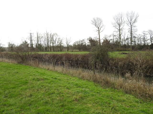
Blyford is a small civil parish located in the county of Suffolk, England. Situated approximately 4 miles south-west of the town of Halesworth, Blyford covers an area of around 3 square miles. The parish is nestled in a rural and picturesque setting, surrounded by farmlands and countryside.
Blyford is home to a population of around 200 residents, who enjoy a peaceful and close-knit community atmosphere. The parish consists mainly of residential properties, with a few small businesses and agricultural activities dotted around. The village is characterized by its charming cottages and well-maintained gardens, creating a pleasant and welcoming environment for both residents and visitors.
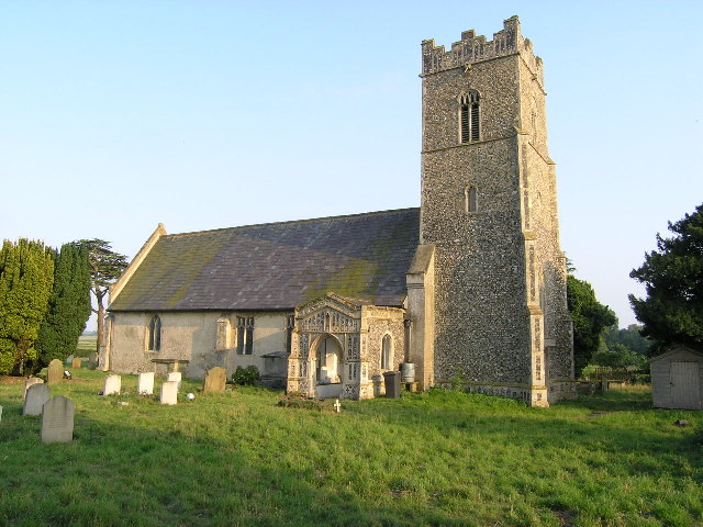
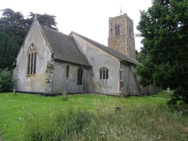
Despite its small size, Blyford boasts a rich history. The parish church, St. Mary's, is a notable landmark and dates back to the 14th century, showcasing stunning medieval architecture. The church attracts visitors interested in exploring its historical significance and architectural beauty.
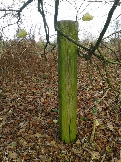
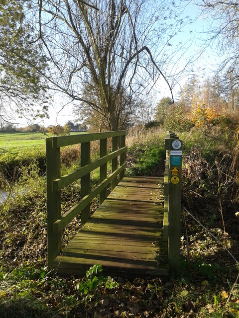
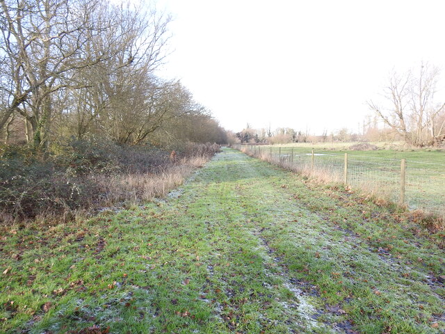
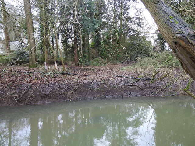
Surrounding Blyford, there are plenty of opportunities for outdoor activities. The nearby Blyford Wood is a popular spot for nature walks and birdwatching, providing a tranquil escape for nature enthusiasts. Additionally, the parish is well-connected to the wider Suffolk countryside, allowing residents and visitors to explore the region's scenic landscapes.
Overall, Blyford offers a peaceful and idyllic lifestyle within a charming rural setting. Its rich history, close community, and proximity to nature make it an appealing place to reside or visit for those seeking a tranquil escape in the Suffolk countryside.
If you have any feedback on the listing, please let us know in the comments section below.
Blyford Images
Images are sourced within 2km of 52.342165/1.551267 or Grid Reference TM4177. Thanks to Geograph Open Source API. All images are credited.


Blyford is located at Grid Ref: TM4177 (Lat: 52.342165, Lng: 1.551267)
Administrative County: Suffolk
District: East Suffolk
Police Authority: Suffolk
What 3 Words
///bets.relegate.bronzed. Near Halesworth, Suffolk
Nearby Locations
Related Wikis

Blything Hundred
Blything was a hundred of eastern Suffolk, and with an area of 87,641 acres (354.67 km2) was the largest of Suffolk's 21 hundreds. The origins of the hundred...
Blyford
Blyford (formerly known as Blythford) is a village and civil parish in the East Suffolk district of Suffolk, England, about 3 miles (5 km) east of Halesworth...
Wenhaston railway station
Wenhaston railway station was in Wenhaston, Suffolk. It closed in 1929, 50 years after it had opened for passenger traffic. The Southwold Railway Trust...
Holton Pit
Holton Pit is a 1.6-hectare (4.0-acre) geological Site of Special Scientific Interest east of Halesworth in Suffolk. It is a Geological Conservation Review...
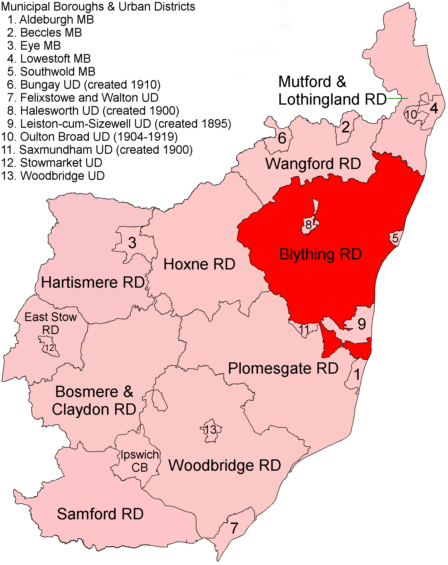
Blything Rural District
Blything Rural District was a rural district within the administrative county of East Suffolk between 1894 and 1934. == Evolution == The district had its...
Wenhaston with Mells Hamlet
Wenhaston with Mells Hamlet is a civil parish in the East Suffolk district, in the county of Suffolk, England. The population at the 2011 Census was 801...
Mells, Suffolk
Mells is a hamlet in the English county of Suffolk. It is on the southern bank of the River Blyth across the river by bridge from Holton; it forms part...
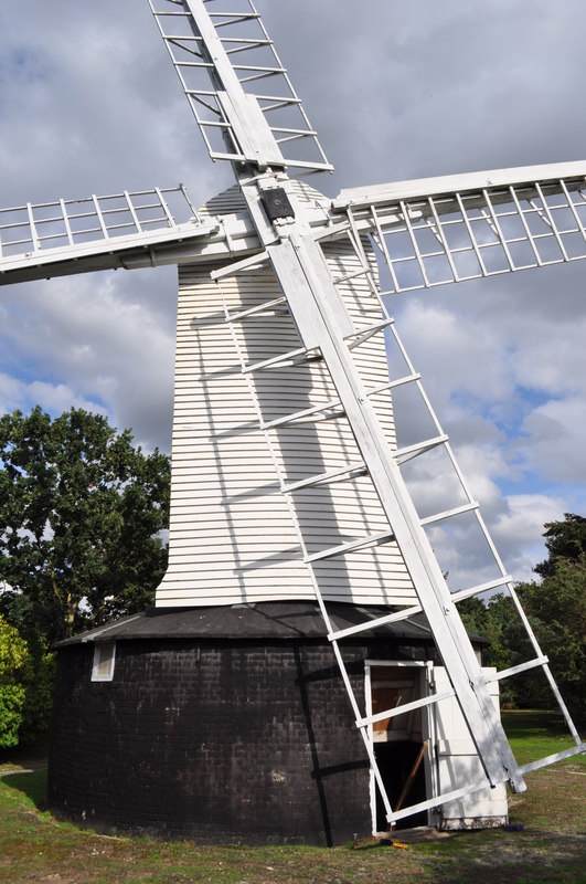
Holton Windmill
Holton Windmill is a Grade II listed post mill at Holton, Suffolk, England which has been preserved as a landmark. == History == Holton Mill was built...
Related Videos


(Behind-the-scenes) LATITUDE FESTIVAL on the Waterfront Stage
FOLLOW US ON SOCIAL Instagram https://www.instagram.com/thegeminibrothers Facebook ...


Music in the sun - A weekend at Latitude Festival
Originally uploaded 10 Jul 2023 on my old channel * We went to Latitude Festival for the weekend! Join us there to have a great ...
Have you been to Blyford?
Leave your review of Blyford below (or comments, questions and feedback).