Briscoe
Settlement in Cumberland Copeland
England
Briscoe

Briscoe is a small village located in the county of Cumberland, England. Situated in the picturesque North West region of the country, it is surrounded by rolling hills, lush green fields, and charming countryside. The village is part of the larger district of Carlisle and is approximately 8 miles south of the city center.
With a population of around 200 inhabitants, Briscoe exudes a quaint and tranquil atmosphere. It is characterized by traditional stone-built houses, many of which date back to the 18th and 19th centuries, giving the village a distinct historical charm. The architecture reflects the village's rich heritage and provides a glimpse into its past.
Briscoe boasts a close-knit community that takes pride in its rural roots. The locals are friendly and welcoming, often organizing community events and gatherings. The village is also home to a small primary school, providing education for the local children.
Being situated in the heart of the countryside, Briscoe offers a range of outdoor activities and opportunities to explore nature. The surrounding countryside offers ample walking and cycling routes, allowing visitors and residents to immerse themselves in the natural beauty of the area.
Although Briscoe is a small village, it benefits from its proximity to Carlisle, providing access to a range of amenities and services. This includes shopping centers, supermarkets, healthcare facilities, and educational institutions.
In summary, Briscoe is a charming and idyllic village nestled in the picturesque countryside of Cumberland. With its historical architecture, strong community spirit, and access to beautiful natural surroundings, it offers a peaceful and serene lifestyle for its residents.
If you have any feedback on the listing, please let us know in the comments section below.
Briscoe Images
Images are sourced within 2km of 54.484845/-3.514207 or Grid Reference NY0211. Thanks to Geograph Open Source API. All images are credited.


Briscoe is located at Grid Ref: NY0211 (Lat: 54.484845, Lng: -3.514207)
Administrative County: Cumbria
District: Copeland
Police Authority: Cumbria
What 3 Words
///cookies.rugs.undercuts. Near Egremont, Cumbria
Nearby Locations
Related Wikis

Briscoe, Cumbria
Briscoe is a hamlet in Cumbria, England. It is located to the east of Egremont. == See also == List of places in Cumbria == References ==
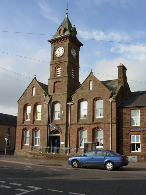
Egremont Town Hall
Egremont Town Hall is a municipal building in Main Street, Egremont, Cumbria, England. The town hall, which is currently used as a public library, is a...

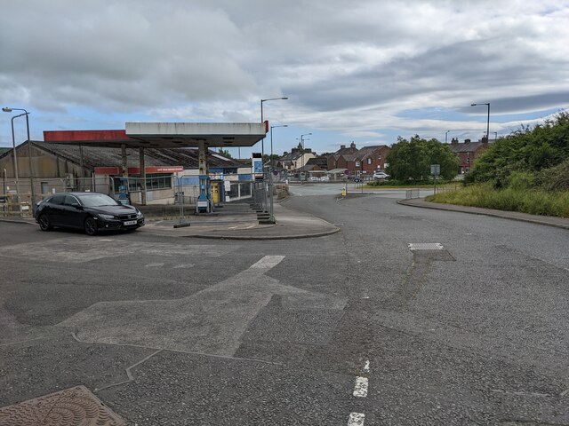
Egremont railway station
Egremont railway station was built by the Whitehaven, Cleator and Egremont Railway as the first southern terminus of what would become the Moor Row to...
West Lakes Academy
West Lakes Academy is a secondary school with a sixth form and sponsored academy status located in the town of Egremont in Cumbria, England. The academy...
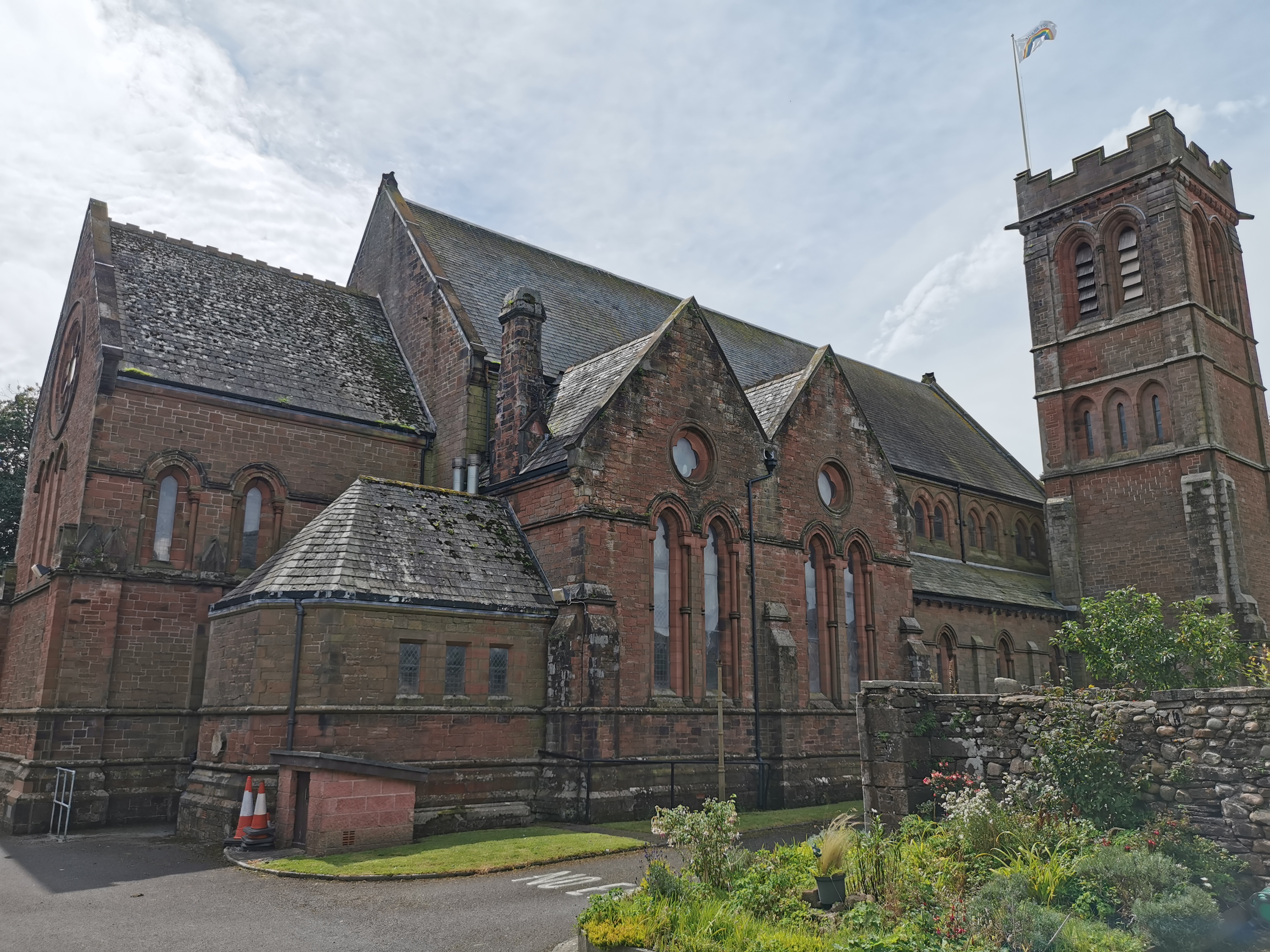
St Mary & St Michael, Egremont
St Mary & St Michael is in Egremont, Cumbria, England. It is an active Anglican parish church in the deanery of Calder, and the diocese of Carlisle. Its...
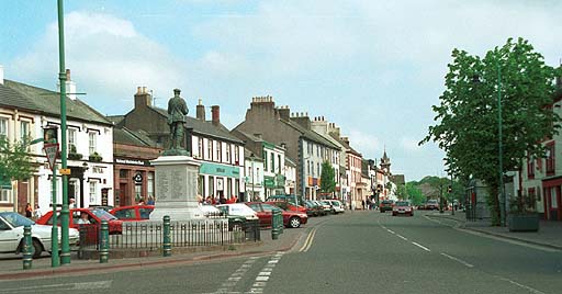
Egremont, Cumbria
Egremont is a market town, civil parish and two electoral wards in Cumbria, England, and historically part of Cumberland. It is situated just outside...
St Thomas Cross Platform railway station
St Thomas Cross Platform was a railway station used by workmen's trains on the Moor Row to Sellafield line on what is now the southeastern, Cringlethwaite...

Egremont Castle
Egremont Castle is located in the town of Egremont, Cumbria (grid reference NY00981050). == History == The original castle was built on a mound above the...
Nearby Amenities
Located within 500m of 54.484845,-3.514207Have you been to Briscoe?
Leave your review of Briscoe below (or comments, questions and feedback).