Blaisdon
Civil Parish in Gloucestershire Forest of Dean
England
Blaisdon
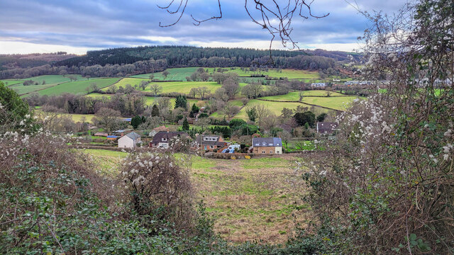
Blaisdon is a civil parish located in the Forest of Dean district of Gloucestershire, England. It is a small rural village situated about 12 miles west of Gloucester. The parish covers an area of approximately 4.5 square miles and is surrounded by picturesque countryside.
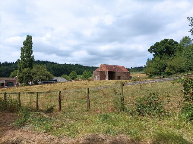
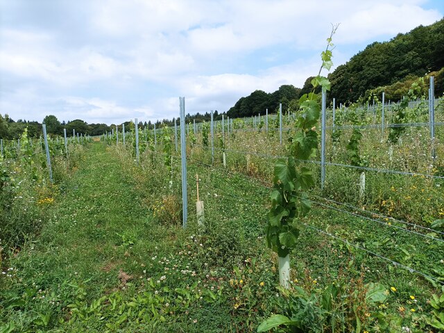
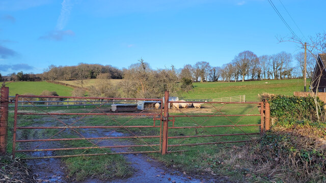
Blaisdon is known for its tranquil and scenic surroundings, with rolling hills, woodlands, and farmland dominating the landscape. The village itself is characterized by a charming mix of traditional stone cottages and more modern houses, showcasing the area's rich architectural heritage.
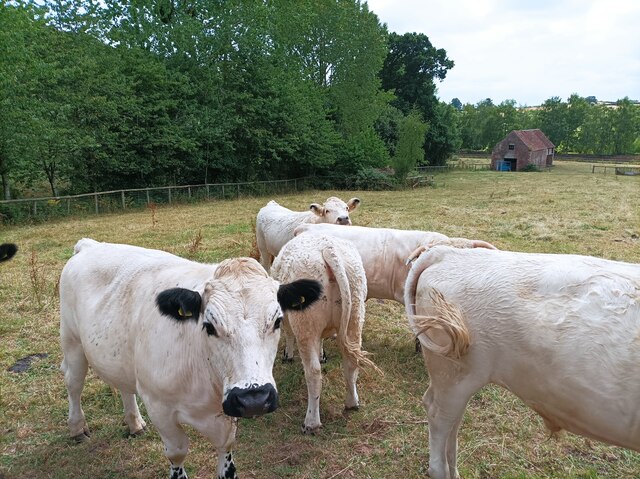
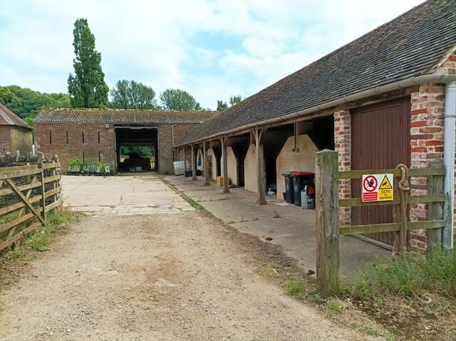
Historically, Blaisdon was an agricultural community, with farming playing a significant role in the local economy. However, in recent years, the village has seen a shift towards residential properties and a growing number of commuters who enjoy the peacefulness of rural living while working in nearby towns and cities.
The parish has a close-knit community, and residents often come together for various social events and activities. The village hall serves as a hub for community gatherings, hosting events such as fairs, concerts, and local meetings.
Blaisdon is also home to the St. Michael and All Angels Church, a 13th-century Grade II listed building that attracts visitors interested in its historical and architectural significance.
Overall, Blaisdon offers a tranquil and idyllic setting for those seeking a peaceful rural lifestyle, with its beautiful countryside, tight-knit community, and historical charm.
If you have any feedback on the listing, please let us know in the comments section below.
Blaisdon Images
Images are sourced within 2km of 51.847223/-2.444553 or Grid Reference SO6916. Thanks to Geograph Open Source API. All images are credited.


Blaisdon is located at Grid Ref: SO6916 (Lat: 51.847223, Lng: -2.444553)
Administrative County: Gloucestershire
District: Forest of Dean
Police Authority: Gloucestershire
What 3 Words
///shredding.niece.apparatus. Near Longhope, Gloucestershire
Nearby Locations
Related Wikis

Wood Green Quarry & Railway Cutting
Wood Green Quarry & Railway Cutting (grid reference SO694166) is a 0.3-hectare (0.74-acre) geological Site of Special Scientific Interest in Gloucestershire...

Blaisdon Hall
Blaisdon Hall (grid reference SO698170) is a Grade II* listed building at Blaisdon. It includes a 0.07-hectare (0.17-acre) biological Site of Special Scientific...

Blaisdon
Blaisdon is a village and civil parish in the Forest of Dean of Gloucestershire, England, about ten miles west of Gloucester. Its population in 2005 was...

Blaisdon Halt railway station
Blaisdon railway station is a disused stone built railway station that served the village of Blaisdon in Gloucestershire and was the first stop on the...

Flaxley Abbey
Flaxley Abbey is a former Cistercian monastery in England, now a Grade I listed manor and private residence, near the village of Flaxley in the Forest...

Flaxley
Flaxley is a small settlement and former civil parish, now in the parish of Blaisdon, in the Forest of Dean, Gloucestershire, England. It is located in...
The Mount, Nottswood Hill
The Mount, Nottswood Hill, is a grade II listed house near Blaisdon in Gloucestershire. The house is thought to have been rebuilt in the later nineteenth...
Longhope Hill
Longhope Hill (grid reference SO693185) is a 0.2-hectare (0.49-acre) geological Site of Special Scientific Interest in Gloucestershire, notified in 1989...
Nearby Amenities
Located within 500m of 51.847223,-2.444553Have you been to Blaisdon?
Leave your review of Blaisdon below (or comments, questions and feedback).