Blackdown
Civil Parish in Warwickshire Warwick
England
Blackdown
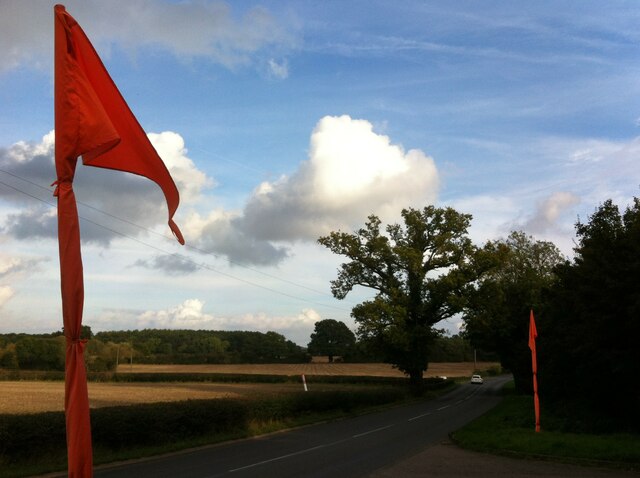
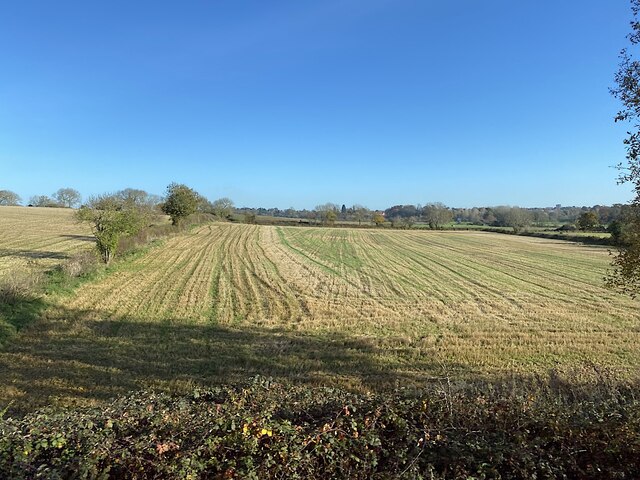
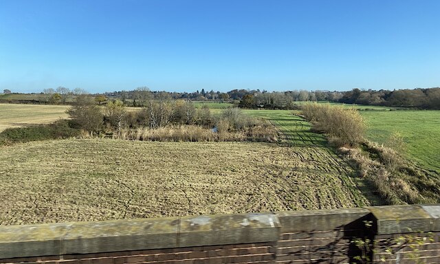
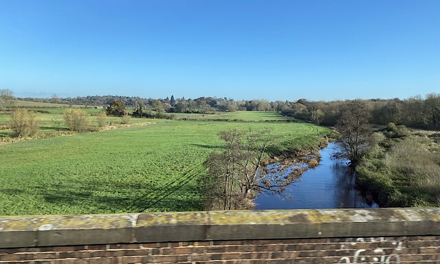
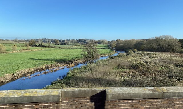
Blackdown is a civil parish located in the county of Warwickshire, England. It lies approximately 3 miles southwest of the town of Leamington Spa and covers an area of about 5 square miles. The parish is situated on the eastern edge of the Edgehill escarpment, which offers stunning views of the surrounding countryside.
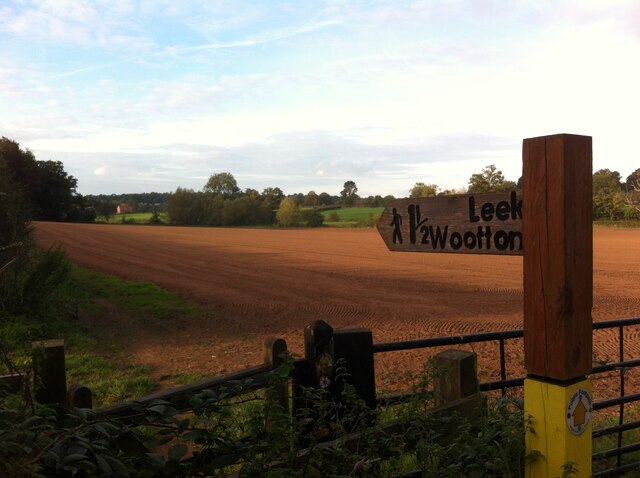
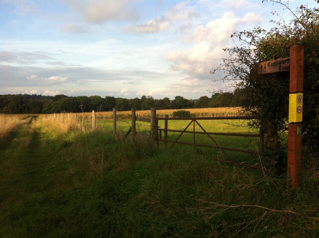
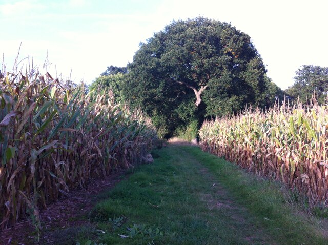
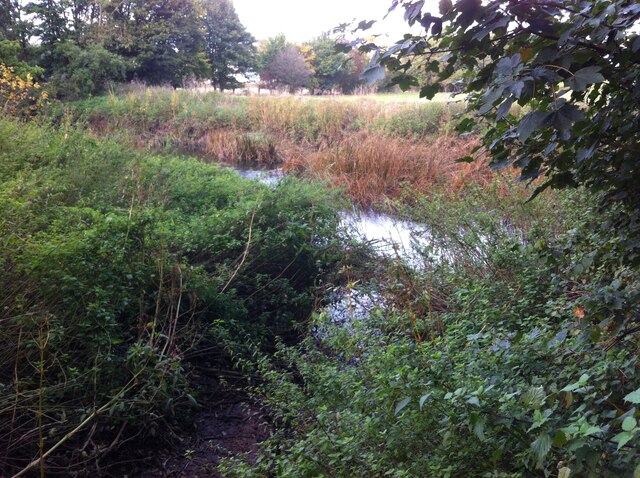
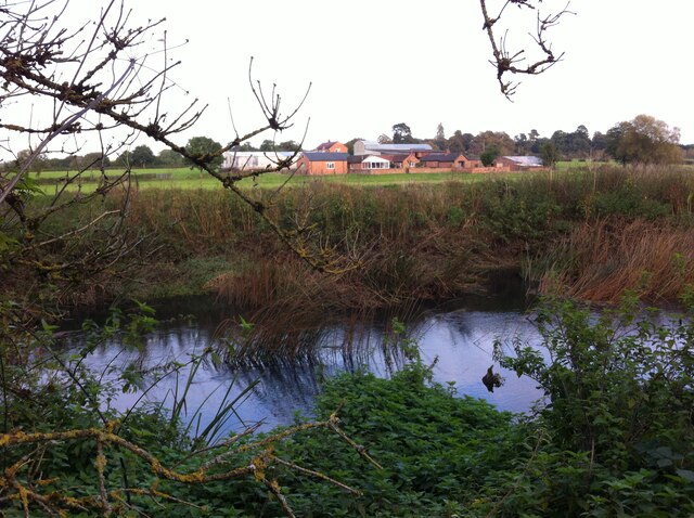
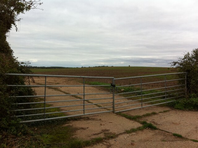
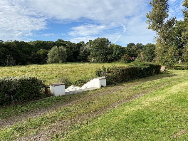
Blackdown is primarily a rural area with a small population, and it is known for its picturesque landscape and natural beauty. The parish is characterized by rolling hills, meadows, and woodlands, making it an ideal destination for nature lovers and outdoor enthusiasts.
The area has a rich history, dating back to Roman times. It is believed that a Roman road passed through Blackdown, connecting the nearby towns of Banbury and Leamington Spa. The parish also played a significant role during the English Civil War, as the nearby Battle of Edgehill took place just a few miles away.
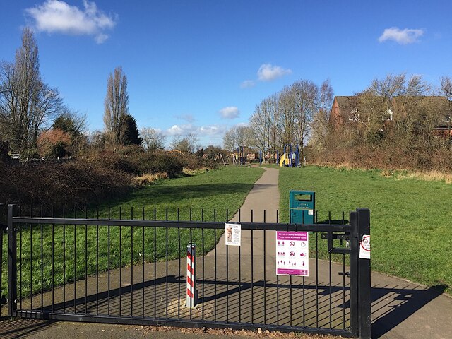
Today, Blackdown offers a peaceful and tranquil environment, away from the hustle and bustle of urban life. It is a popular spot for walking, hiking, and cycling, with several well-marked trails and footpaths crisscrossing the area. Visitors can also enjoy picnicking, birdwatching, or simply taking in the breathtaking views from the top of the escarpment.
Overall, Blackdown is a charming rural parish that combines natural beauty with a rich historical heritage, making it a delightful destination for those seeking a peaceful retreat in the heart of Warwickshire.
If you have any feedback on the listing, please let us know in the comments section below.
Blackdown Images
Images are sourced within 2km of 52.318391/-1.537986 or Grid Reference SP3169. Thanks to Geograph Open Source API. All images are credited.
Blackdown is located at Grid Ref: SP3169 (Lat: 52.318391, Lng: -1.537986)
Administrative County: Warwickshire
District: Warwick
Police Authority: Warwickshire
What 3 Words
///grows.desk.shady. Near Leek Wootton, Warwickshire
Nearby Locations
Related Wikis
Ashow
Ashow is a small village and civil parish in the Warwick district of Warwickshire, England, about 2.5 miles (4 km) south-east of central Kenilworth. According...

Blackdown, Warwickshire
Blackdown is a hamlet and civil parish in the Warwick district of Warwickshire, England. Blackdown is about two miles north of Leamington Spa, between...
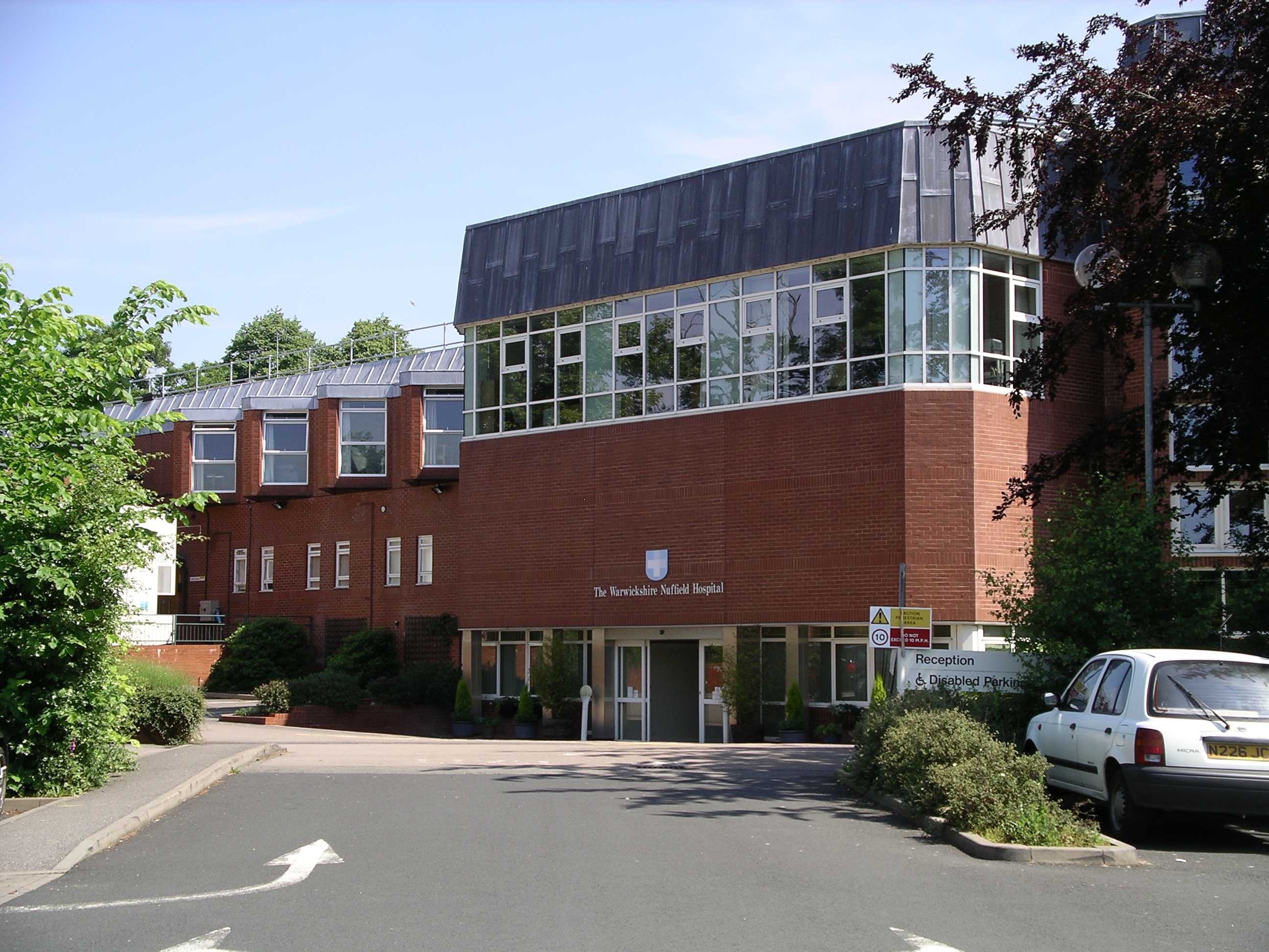
Warwickshire Nuffield Hospital
Warwickshire Nuffield Hospital is a not-for-profit private hospital situated in the north of Leamington Spa, Warwickshire, England. == History == The hospital...
North Leamington School
North Leamington School (NLS) is a mixed, non-selective, comprehensive school for students aged 11 to 18 years located at the northeastern edge of Leamington...

A445 road
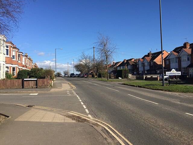
The A445 road is a road in Warwickshire, England. It runs between the town of Warwick and the A45, also passing through the north of Leamington Spa. The...
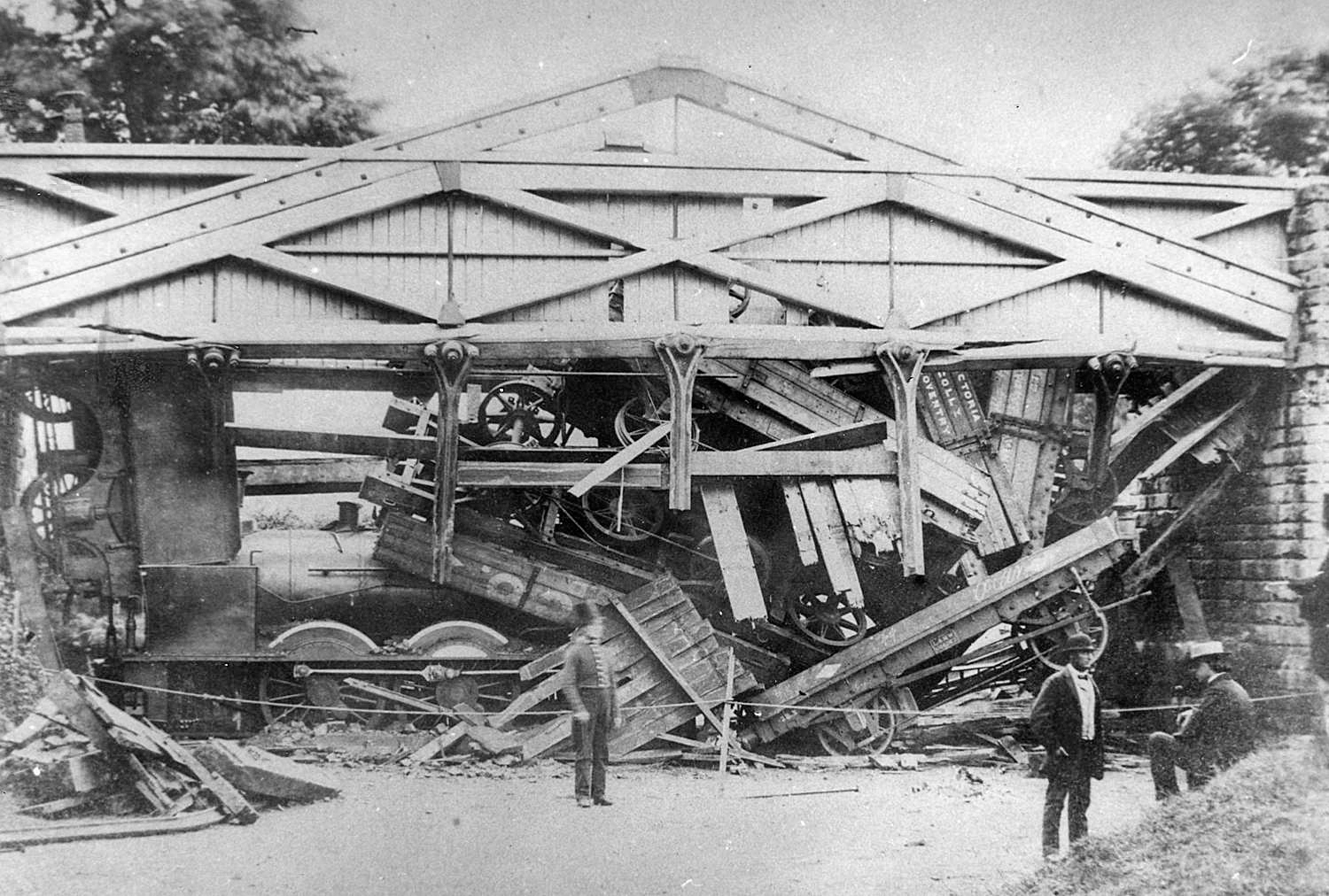
Wootton bridge collapse
The Wootton bridge collapse occurred on 11 June 1861, when the rail bridge over the road between Leek Wootton and Hill Wootton in Warwickshire collapsed...
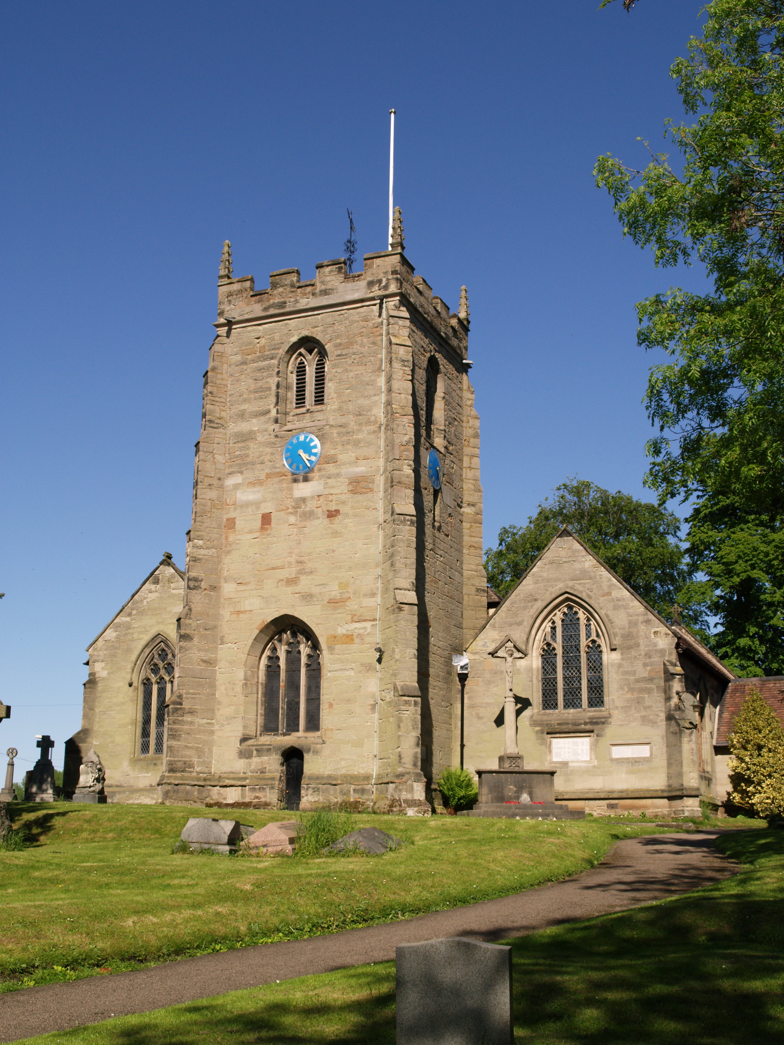
St Mary Magdalene's Church, Lillington
St Mary Magdalene's Church, Lillington is the Church of England parish church of Lillington, Warwickshire, a part of Royal Leamington Spa with a population...

Lillington Free Church
Lillington Free Church is a free church, located in Lillington, Leamington Spa, England. As of February 2019 the current Minister is Rev James Church who...
Nearby Amenities
Located within 500m of 52.318391,-1.537986Have you been to Blackdown?
Leave your review of Blackdown below (or comments, questions and feedback).