Bishopton

Civil Parish in Durham

England

Bishopton

Bishopton, St Peter's church The benchmark is cut into a buttress which supports the church tower.
Bishopton, St Peter's church Credit: Mel Towler

Bishopton is a civil parish located in County Durham, England. Situated approximately 7 miles west of the city of Durham, it is a small village with a population of around 600 people. The village is surrounded by picturesque countryside, offering residents and visitors a peaceful and rural environment.

Bishopton has a rich history that dates back many centuries. The name of the village is derived from the Old English words "bisceop" and "tun," meaning "bishop's farmstead." This suggests that the village may have once been owned by a bishop or had strong connections to the church.

Today, Bishopton retains its traditional charm with a mix of historic and modern buildings. The village features a number of attractive stone houses and cottages, giving it a quaint and welcoming feel. There is also a village hall, which serves as a community hub for various activities and events.

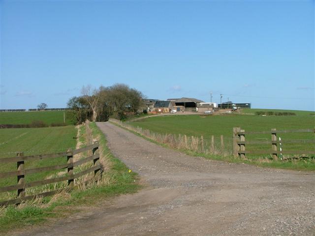
The local economy of Bishopton is primarily agricultural, with farming being a significant industry in the area. The surrounding farmland is used for the cultivation of crops and the rearing of livestock. Many residents also commute to nearby towns and cities for employment opportunities.

Bishopton is well-connected to neighboring areas by road, with the A1(M) motorway providing easy access to Durham and other major cities. The village is also served by a regular bus service, providing convenient transportation options for residents.

Overall, Bishopton offers a peaceful and idyllic setting, making it an attractive place to live for those seeking a quieter lifestyle in a rural community.

If you have any feedback on the listing, please let us know in the comments section below.
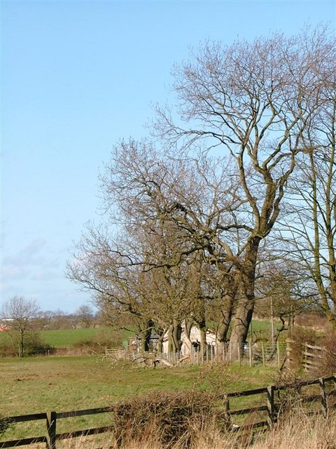
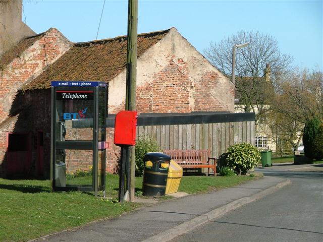
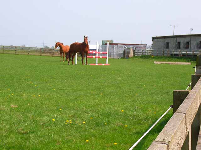
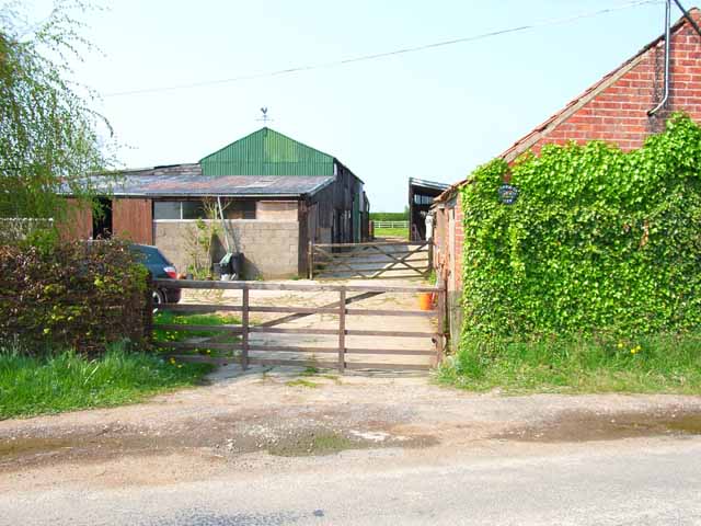
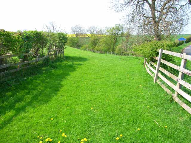
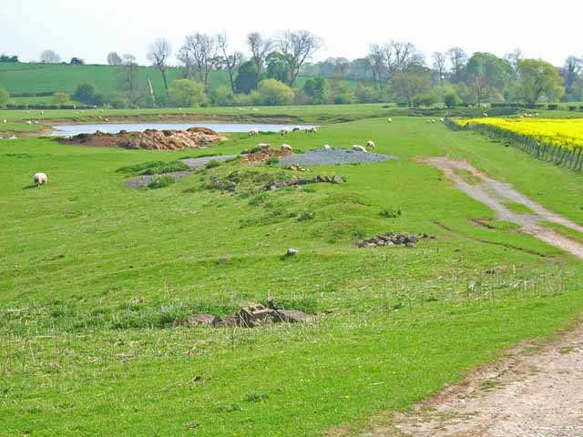
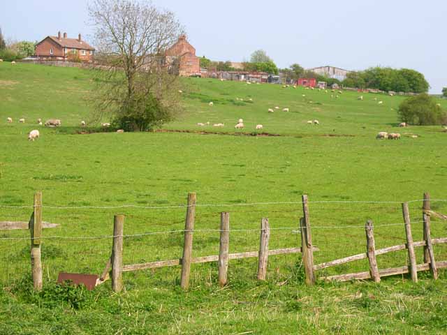
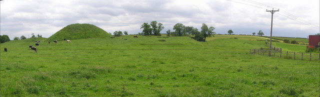
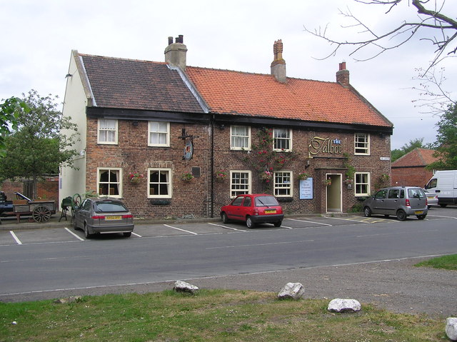
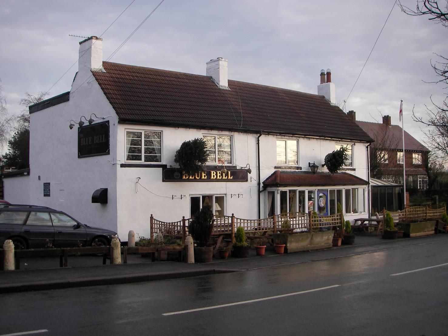
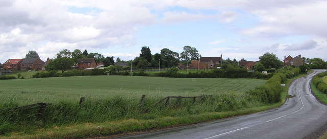
Bishopton Images

Images are sourced within 2km of 54.58257/-1.434527 or Grid Reference NZ3620. Thanks to Geograph Open Source API. All images are credited.

Bishopton, St Peter's church The benchmark is cut into a buttress which supports the church tower.
Bishopton, St Peter's church
The benchmark is cut into a buttress which supports the church tower.
Bishopton, St Peter's church There is a benchmark cut into a buttress which supports the church tower. It is the buttress to the left of the brown door.
Bishopton, St Peter's church
There is a benchmark cut into a buttress which supports the church tower. It is the buttress to the left of the brown door.
Entrance road to Sauf Hall
Bishopton Windsurfing Centre Former gravel pits
Bishopton Windsurfing Centre
Former gravel pits
Track to Broad Lea
Track to Broad Lea
Bishopton Village Green The parish church is dedicated to St. Peter and can be seen through the trees in the distance.
Bishopton Village Green
The parish church is dedicated to St. Peter and can be seen through the trees in the distance.
Access road to Redmarshall Reservoirs The reservoirs can be made out in the distance.
Access road to Redmarshall Reservoirs
The reservoirs can be made out in the distance.
Trees Aligning Redmarsh Road Looking towards a private house going by the name of Karamea on the OS 1:25000 map.
Trees Aligning Redmarsh Road
Looking towards a private house going by the name of Karamea on the OS 1:25000 map.
Telephone and Post Box, Redmarshall
Horses at Delholme Farm, Whinney Hill Another equestrian establishment in the area between Stockton and Darlington where such places are very numerous.
Horses at Delholme Farm, Whinney Hill
Another equestrian establishment in the area between Stockton and Darlington where such places are very numerous.
Hambledon View Farm, Little Stainton Presumably you get a good view of the Hambledon Hills from here on a clear day.
Hambledon View Farm, Little Stainton
Presumably you get a good view of the Hambledon Hills from here on a clear day.
Field beside the Bishopton to Mordon road The boundary between Stockton and County Durham can be seen in the background (right of picture).
Field beside the Bishopton to Mordon road
The boundary between Stockton and County Durham can be seen in the background (right of picture).
West Farm Lake, Stillington A fishing lake. For details see <span class="nowrap"><a title="http://www.ukcoarsefishing.net/forum/showthread.php?t=229" rel="nofollow ugc noopener" href="http://www.ukcoarsefishing.net/forum/showthread.php?t=229">Link</a><img style="margin-left:2px;" alt="External link" title="External link - shift click to open in new window" src="https://s1.geograph.org.uk/img/external.png" width="10" height="10"/></span>
West Farm Lake, Stillington
A fishing lake. For details see LinkExternal link
Old Stillington viewed from the Beck
St. Cuthbert's Church, Redmarshall
Bishopton  Castle Castle Hill is the remains of a medieval motte and bailey castle. The central mound is surrounded by a ditch and earth bank. The castle was built in the early 12thC by Roger de Conyers after he was granted an estate by Bishop Ranulf Flambard. The castle was remodelled in 1143, and successfully held against an attack by the would-be bishop, William Comyn. The Conyers later transferred to Sockburn (NZ350070).
Bishopton Castle
Castle Hill is the remains of a medieval motte and bailey castle. The central mound is surrounded by a ditch and earth bank. The castle was built in the early 12thC by Roger de Conyers after he was granted an estate by Bishop Ranulf Flambard. The castle was remodelled in 1143, and successfully held against an attack by the would-be bishop, William Comyn. The Conyers later transferred to Sockburn (NZ350070).
The Talbot :  Bishopton Near St. Peter's Church. One of two pubs in the village the other being the Blue Bell on Redmarshall Lane.
The Talbot : Bishopton
Near St. Peter's Church. One of two pubs in the village the other being the Blue Bell on Redmarshall Lane.
St. Peter's Church : Bishopton St. Peter's was originally built in the medieval period, probably in the late 13th century. It was rebuilt in the mid-19th century.
St. Peter's Church : Bishopton
St. Peter's was originally built in the medieval period, probably in the late 13th century. It was rebuilt in the mid-19th century.
Show me another place!

Bishopton is located at Grid Ref: NZ3620 (Lat: 54.58257, Lng: -1.434527)

Unitary Authority: Darlington

Police Authority: Durham

What 3 Words

///brush.faded.intent. Near Bishopton, Co. Durham

Nearby Locations

Castle Hill Bishopton

Related Wikis

Bishopton Castle

Bishopton Castle was a medieval castle in Bishopton village, County Durham, England. The surviving motte is a Scheduled Ancient Monument. == Details... ==

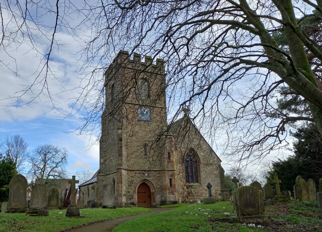
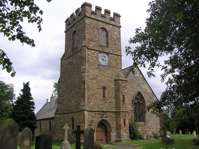
St Peter's Church, Bishopton

St Peter's Church is in the village of Bishopton, County Durham, England. It is an active Anglican parish church in the deanery of Stockton, the archdeaconry...

Bishopton, County Durham

Bishopton is a village in the borough of Darlington and the ceremonial county of County Durham, England. It is situated to the west of Stockton-on-Tees...

Old Stillington

Old Stillington is a village in County Durham, in England. It is situated a few miles to the north-west of Stockton-on-Tees, and a short distance from...

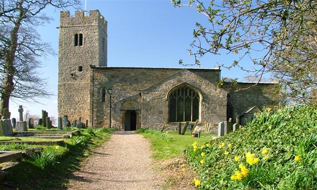
St Cuthbert's Church, Redmarshall

St Cuthbert's Church is in the village of Redmarshall, County Durham, England. It is an active Anglican parish church in the deanery of Stockton, the archdeaconry...

Redmarshall Old Rectory

The Old Rectory in the village of Redmarshall, County Durham, England, stands to the northeast of St Cuthbert's Church. The rectory, together with its...

Little Stainton

Little Stainton is a village in the borough of Darlington and the ceremonial county of County Durham, England. It is a township in the parish of Bishopton...

Redmarshall

Redmarshall is a village and civil parish in the borough of Stockton-on-Tees and ceremonial county of County Durham, England. The population as of the...

Nearby Amenities

Located within 500m of 54.58257,-1.434527
Bishopton
Place: hamlet
Source: NPE
Wikidata: Q4918118
Wikipedia: en:Bishopton, County Durham
Lat/Long: 54.5856648/-1.4390978
Fuel
Diesel fuel station
Fuel Diesel: yes
Lat/Long: 54.5832818/-1.434228
Pub
The Blue Bell
Addr City: Stockton-on-Tees
Addr Housenumber: 31
Addr Postcode: TS21 1EZ
Addr Street: High Street
Fhrs Id: 878184
Source Addr: FHRS Open Data
Lat/Long: 54.5837606/-1.4344264
Restaurant
The Talbot
Addr City: Stockton-on-Tees
Addr Housenumber: 47-49
Addr Postcode: TS21 1HE
Addr Street: The Green
Fhrs Id: 1489222
Source Addr: FHRS Open Data
Website: https://www.thetalbotbishopton.co.uk/
Lat/Long: 54.5855201/-1.437865
Bus Stop
Church View
Lat/Long: 54.5852838/-1.4372481
Bishopton Castle
HE Ref: 1008668
Designation: scheduled_monument
Historic: archaeological_site
Wikidata: Q4918116
Wikipedia: en:Bishopton Castle
Lat/Long: 54.581918/-1.4342845
Heritage: yes
Historic: memorial
Memorial: war_memorial
Wikidata: Q26677947
Lat/Long: 54.5852724/-1.4371732
Power: pole
Lat/Long: 54.5839341/-1.4282495
Power: pole
Lat/Long: 54.5835828/-1.4297327
Power: pole
Lat/Long: 54.5832346/-1.4312267
Power: pole
Lat/Long: 54.5830652/-1.4319456
Power: pole
Lat/Long: 54.5828103/-1.4330748
Power: pole
Lat/Long: 54.5829641/-1.4341986
Power: pole
Lat/Long: 54.5831693/-1.4356738
Power: pole
Lat/Long: 54.5833745/-1.4371651
Power: pole
Lat/Long: 54.5835781/-1.4386189
Power: pole
Lat/Long: 54.5837087/-1.4410302
The data included in this document is from www.openstreetmap.org. The data is made available under ODbL.

Have you been to Bishopton?

Leave your review of Bishopton below (or comments, questions and feedback).