Bishop's Lydeard
Civil Parish in Somerset Somerset West and Taunton
England
Bishop's Lydeard
Bishop's Lydeard is a civil parish located in the county of Somerset, England. It is situated approximately 4 miles northwest of Taunton, the county town. The parish covers an area of about 10 square miles and has a population of around 2,000 residents.
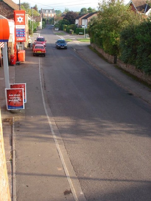
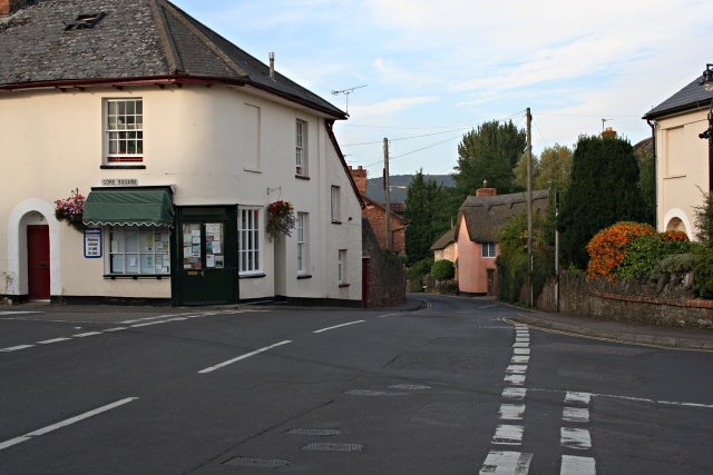
The village of Bishop's Lydeard is the main settlement within the parish. It is a charming and picturesque village with a rich history dating back to the Saxon period. Many of the buildings in the village display traditional architectural styles, including thatched roofs and stone walls.
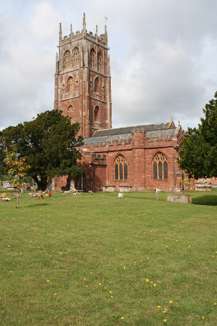
One of the notable landmarks in Bishop's Lydeard is the Church of St. Mary the Virgin, a medieval church that dates back to the 13th century. The church is a Grade I listed building and features a beautiful tower and stained glass windows.
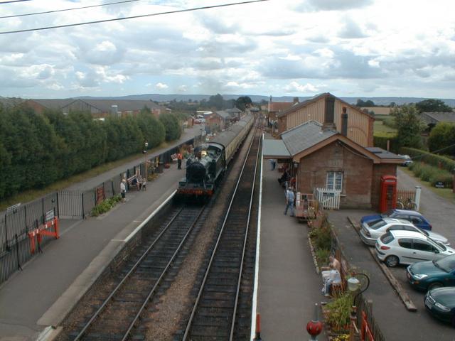
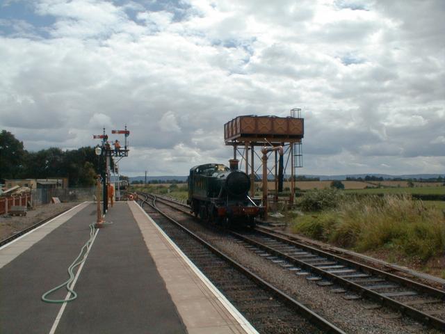
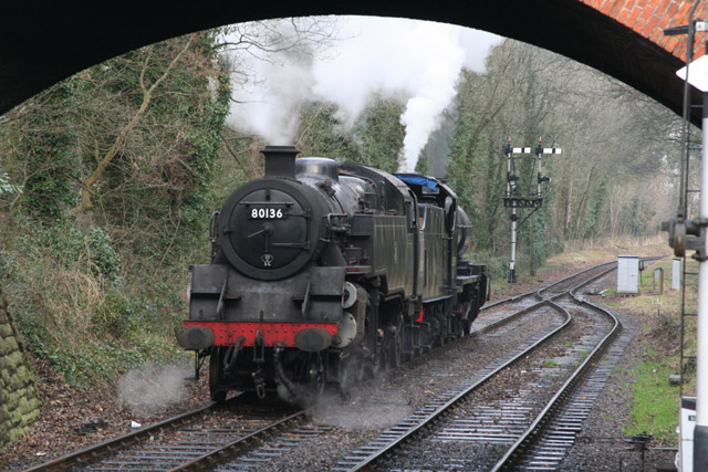
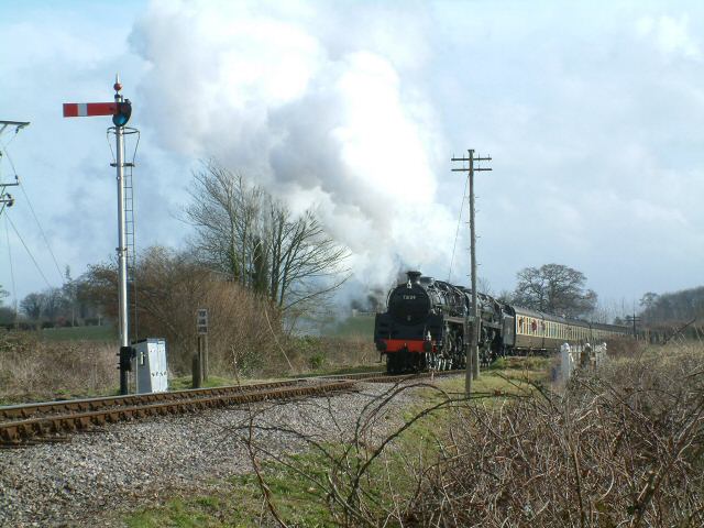
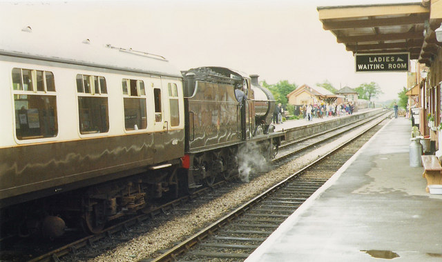
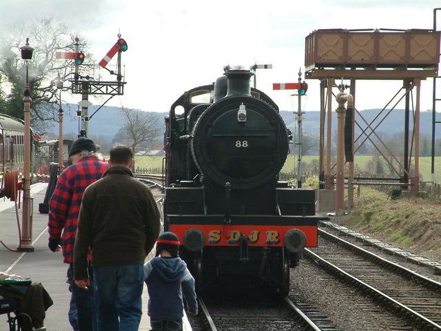
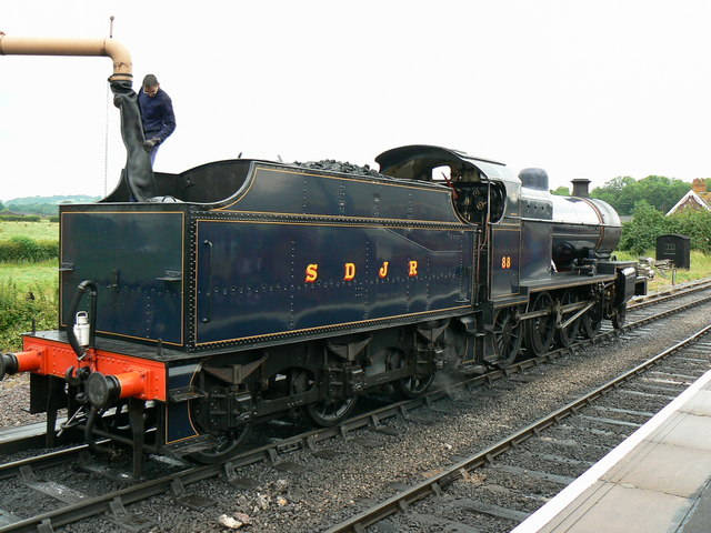
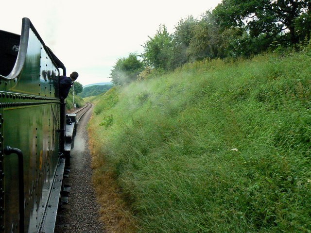
Bishop's Lydeard is also known for its preserved heritage railway, the West Somerset Railway. The railway line runs for 20 miles from Bishop's Lydeard to Minehead, offering visitors a scenic journey through the Somerset countryside. The railway station at Bishop's Lydeard is a popular tourist attraction and serves as a gateway to exploring the Exmoor National Park.
In terms of amenities, Bishop's Lydeard has a primary school, a village hall, a post office, and several shops and pubs. The village is well-connected by road and public transport, making it easily accessible for both residents and visitors. Overall, Bishop's Lydeard is a picturesque and historic parish that offers a charming countryside escape in the heart of Somerset.
If you have any feedback on the listing, please let us know in the comments section below.
Bishop's Lydeard Images
Images are sourced within 2km of 51.066149/-3.179957 or Grid Reference ST1730. Thanks to Geograph Open Source API. All images are credited.


Bishop's Lydeard is located at Grid Ref: ST1730 (Lat: 51.066149, Lng: -3.179957)
Administrative County: Somerset
District: Somerset West and Taunton
Police Authority: Avon and Somerset
What 3 Words
///dots.refilled.worlds. Near Bishops Lydeard, Somerset
Nearby Locations
Related Wikis

Bishops Lydeard A.F.C.
Bishops Lydeard Association Football Club is a football club based in Bishops Lydeard, near Taunton, in Somerset, England. They are currently members of...
Bishops Lydeard
Bishops Lydeard () is a village and civil parish located in Somerset, England, 5 miles (8 km) north-west of Taunton. The civil parish encompasses the hamlets...
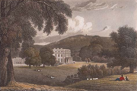
Lydeard House
Lydeard House in Bishops Lydeard, Somerset, England was built in the mid 18th century. It is a Grade II* listed building. == History == Lydeard House was...

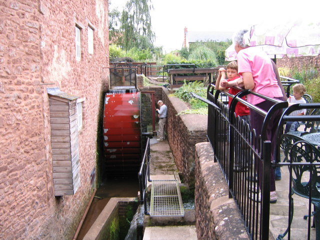
Bishops Lydeard Mill and Rural Life Museum
The Bishops Lydeard Mill and Rural Life Museum is a historic building and museum in Bishops Lydeard, Somerset, England. The building dates from the 18th...

Cothelstone
Cothelstone is a village and civil parish in Somerset, England, situated in the Quantock Hills six miles north of Taunton. The parish, which includes the...
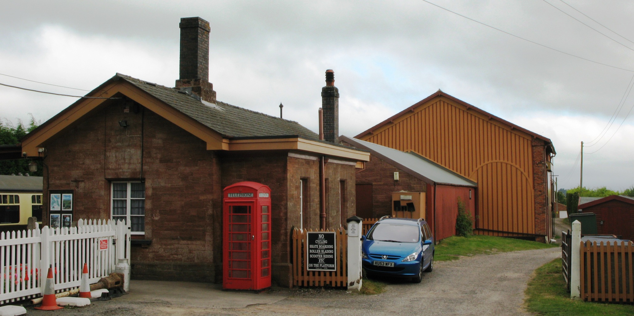
Bishops Lydeard railway station
Bishops Lydeard railway station is a heritage railway station in the village of Bishops Lydeard, Somerset, England. It is the southern terminus for regular...
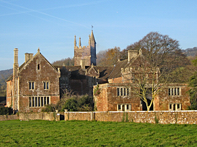
Cothelstone Manor
Cothelstone Manor in Cothelstone, Somerset, England was built in the mid-16th century, largely demolished by the parliamentary troops in 1646 and rebuilt...
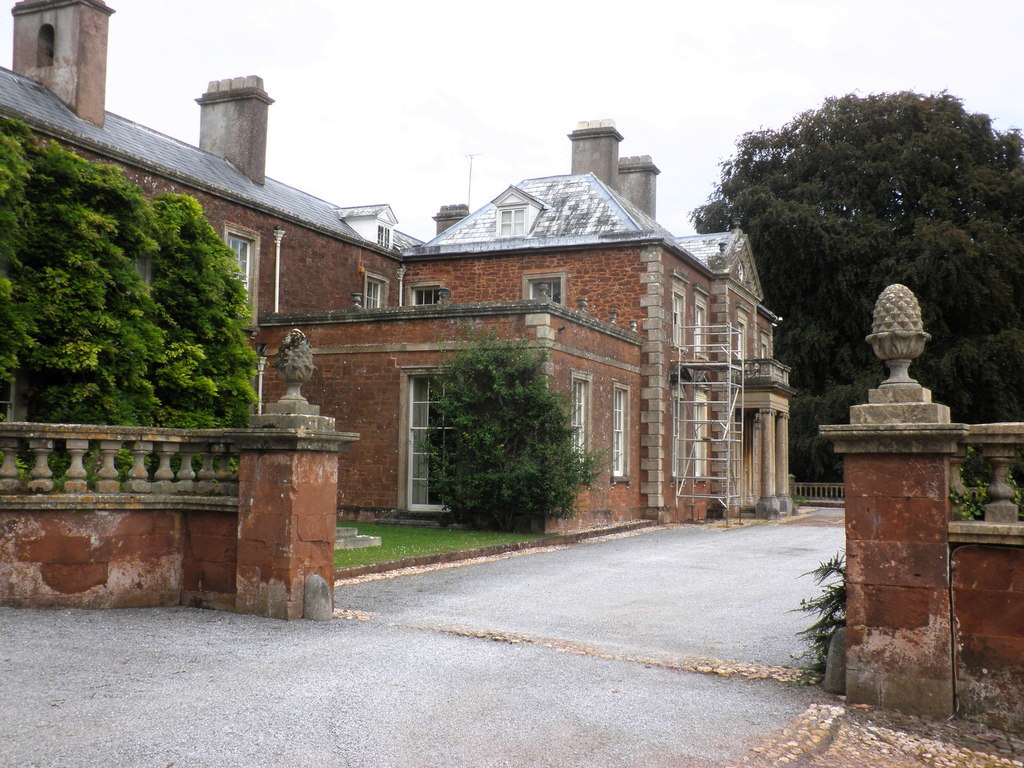
Sandhill Park
Sandhill Park in the parish of Bishops Lydeard, Somerset, England is a derelict country house built in about 1720. It was used in the 20th century as a...
Nearby Amenities
Located within 500m of 51.066149,-3.179957Have you been to Bishop's Lydeard?
Leave your review of Bishop's Lydeard below (or comments, questions and feedback).