Bishopdale

Civil Parish in Yorkshire Richmondshire

England

Bishopdale

Kidstones Gill Bridge This top stone is on the western parapet of Kidstones Gill Bridge in Bishopdale. The benchmark is still very well defined.
Kidstones Gill Bridge Credit: Mel Towler

Bishopdale is a civil parish located in the Yorkshire Dales National Park in North Yorkshire, England. It is situated in the upper reaches of the River Ure valley and lies approximately 8 miles north of the town of Leyburn. The parish covers an area of about 12 square miles and is home to a small population of around 100 people.

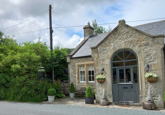
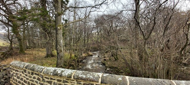
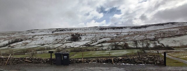
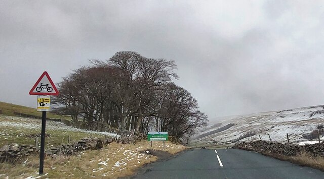
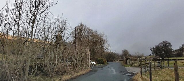
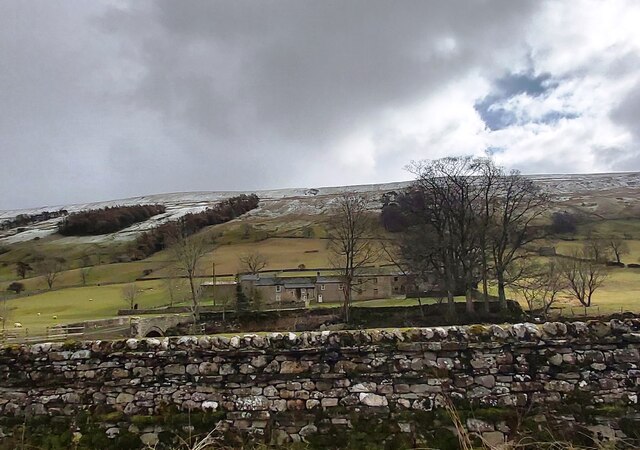
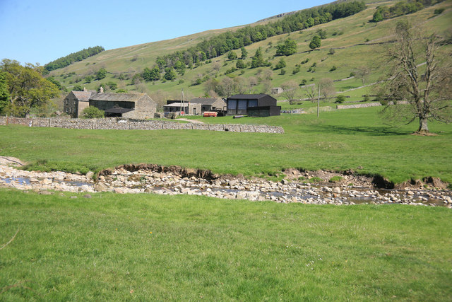
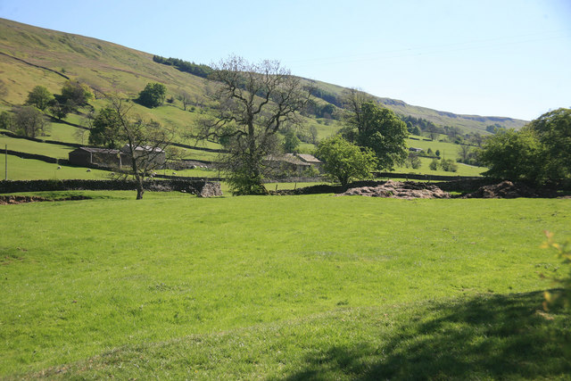
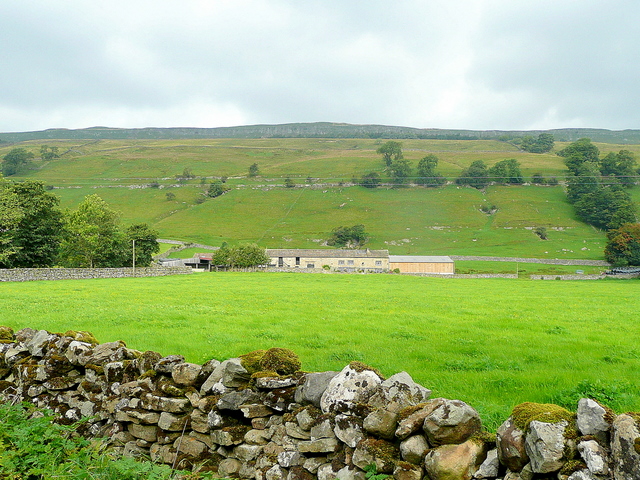
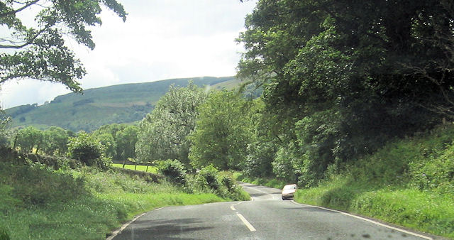
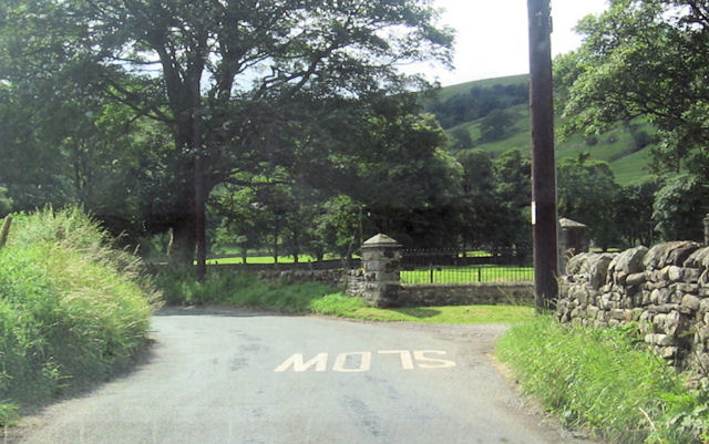
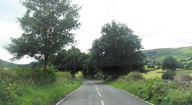
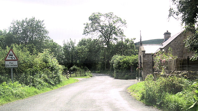
The landscape of Bishopdale is characterized by its stunning natural beauty, with rolling hills, picturesque valleys, and meandering streams. The area is renowned for its scenic walks and offers a tranquil escape for nature lovers and outdoor enthusiasts. It is dotted with traditional stone-built houses and farmsteads, showcasing the region's rural charm.

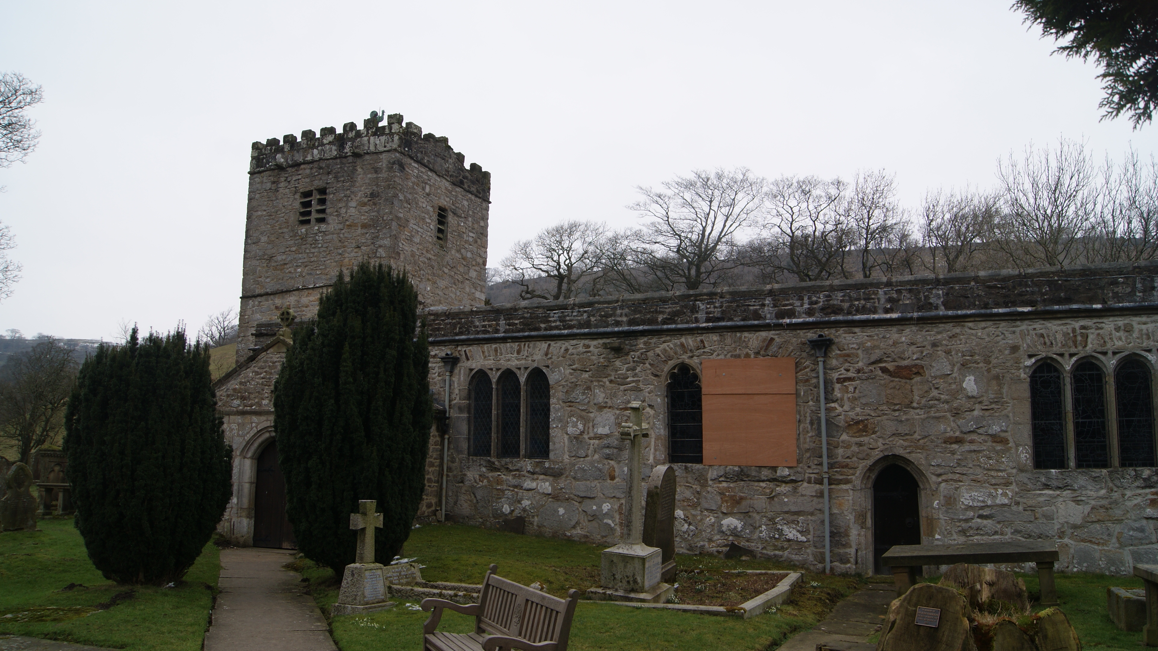
Bishopdale is also known for its rich history and heritage. The parish is home to several ancient sites, including the ruins of a medieval castle and an ancient monastic grange. These archaeological remains provide a glimpse into the area's medieval past and offer a fascinating insight into its historical significance.

Despite its small size, Bishopdale offers a range of amenities and facilities to cater to both residents and visitors. The parish has a community hall, a primary school, and a church, which serve as focal points for the local community. There are also a few accommodation options, including holiday cottages and bed and breakfasts, for those looking to stay and explore the area.

Overall, Bishopdale is a hidden gem within the Yorkshire Dales, offering a peaceful and idyllic setting amidst breathtaking natural surroundings. It is a place where visitors can immerse themselves in nature, discover the area's rich history, and experience the charm of rural Yorkshire.

If you have any feedback on the listing, please let us know in the comments section below.
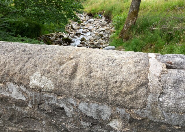
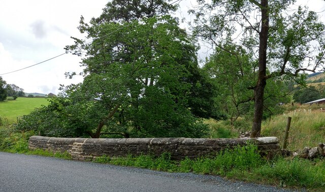
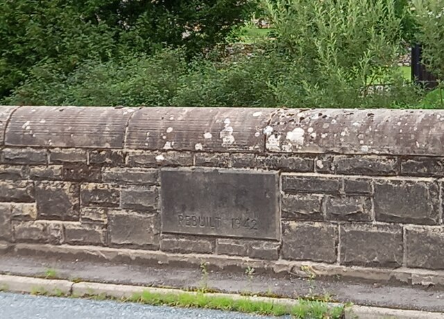
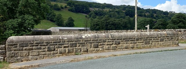
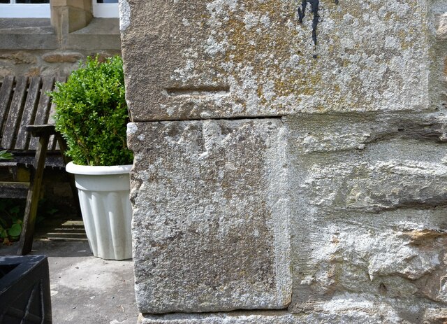
Bishopdale Images

Images are sourced within 2km of 54.238592/-2.067462 or Grid Reference SD9582. Thanks to Geograph Open Source API. All images are credited.

Kidstones Gill Bridge This top stone is on the western parapet of Kidstones Gill Bridge in Bishopdale. The benchmark is still very well defined.
Kidstones Gill Bridge
This top stone is on the western parapet of Kidstones Gill Bridge in Bishopdale. The benchmark is still very well defined.
Kidstones Gill Bridge A wider angle showing the full span of the western parapet of Kidstones Gill Bridge in Bishopdale. There is a benchmark cut into one of the top stones on this parapet, and it remains very clear and defined.
Kidstones Gill Bridge
A wider angle showing the full span of the western parapet of Kidstones Gill Bridge in Bishopdale. There is a benchmark cut into one of the top stones on this parapet, and it remains very clear and defined.
Hargill Bridge Hargill Bridge in Bishopdale crosses Hargill. This date stone is on the eastern parapet. The bridge remains in very good maintained state.
Hargill Bridge
Hargill Bridge in Bishopdale crosses Hargill. This date stone is on the eastern parapet. The bridge remains in very good maintained state.
Hargill Bridge This is the western parapet of Hargill Bridge in Bishopdale, which crosses Hargill. The bridge was rebuilt in 1942, as stated on a date stone on the opposite parapet.
Hargill Bridge
This is the western parapet of Hargill Bridge in Bishopdale, which crosses Hargill. The bridge was rebuilt in 1942, as stated on a date stone on the opposite parapet.
Bishopdale, old schoolhouse The old schoolhouse is on the west side of the B6160, Bishopdale Lane. On the road facing wall, to the left, there is a benchmark cut into the 2nd and 3rd stone courses. It remains very clear with no wear.
Bishopdale, old schoolhouse
The old schoolhouse is on the west side of the B6160, Bishopdale Lane. On the road facing wall, to the left, there is a benchmark cut into the 2nd and 3rd stone courses. It remains very clear with no wear.
Bishopdale, old schoolhouse A wider angle showing the old schoolhouse, which is now converted into a private home, which is on the west side of the B6160, Bishopdale Lane. On the road facing wall, to the left of the grey front door, is a benchmark cut into the 2nd and 3rd stone courses. It remains very clear with no wear.
Bishopdale, old schoolhouse
A wider angle showing the old schoolhouse, which is now converted into a private home, which is on the west side of the B6160, Bishopdale Lane. On the road facing wall, to the left of the grey front door, is a benchmark cut into the 2nd and 3rd stone courses. It remains very clear with no wear.
Kidstones Gill
Kidstones Gill
Farm Entrance on Kidstones Bank
Kidstones Bank
Kidstones Bank
The Old School House - Bishopdale
Myers Garth Farm
Myers Garth Farm
A view from Bishopsdale Lane across the fields
Myers Garth in the distance
New House Farm High Scar is the rocky outcrop way above the Bishopdale valley floor.
New House Farm
High Scar is the rocky outcrop way above the Bishopdale valley floor.
B6160 from New Gill entrance
Gateway to The Rookery From B6160
Gateway to The Rookery
From B6160
B6160 at entrance to New House
House and phone box on B6160 Phone box is just beyond house.
House and phone box on B6160
Phone box is just beyond house.
Show me another place!

Bishopdale is located at Grid Ref: SD9582 (Lat: 54.238592, Lng: -2.067462)

Division: North Riding

Administrative County: North Yorkshire

District: Richmondshire

Police Authority: North Yorkshire

What 3 Words

///terribly.shot.indulges. Near Leyburn, North Yorkshire

Related Wikis

Nearby Amenities

Located within 500m of 54.238592,-2.067462
Power: pole
Lat/Long: 54.2399205/-2.0612568
Power: pole
Lat/Long: 54.2391594/-2.0620046
Power: pole
Lat/Long: 54.2384217/-2.0627574
Power: pole
Lat/Long: 54.2375345/-2.0636658
Power: pole
Lat/Long: 54.236747/-2.0644387
Power: pole
Lat/Long: 54.2358128/-2.0653721
Power: pole
Lat/Long: 54.2350487/-2.0661475
Power: pole
Lat/Long: 54.2342421/-2.0668978
The data included in this document is from www.openstreetmap.org. The data is made available under ODbL.

Have you been to Bishopdale?

Leave your review of Bishopdale below (or comments, questions and feedback).