Birlingham

Civil Parish in Worcestershire Wychavon

England

Birlingham

Nafford Road
Nafford Road Credit: Peter Whatley

Birlingham is a civil parish located in Worcestershire, England. Situated on the banks of the River Avon, it is a small village with a population of around 300 residents. The parish is part of the Wychavon district and is located approximately 4 miles southeast of the town of Pershore.

Birlingham is known for its picturesque countryside and scenic beauty. The village is surrounded by lush green fields and rolling hills, making it an ideal location for outdoor activities and exploration. The River Avon runs through the village, offering a tranquil setting for fishing and boating enthusiasts.

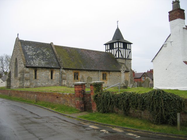
The village itself is characterized by charming cottages and historic buildings, reflecting its rich history. St James' Church, a Grade II listed building, is a prominent feature of the village and dates back to the 14th century. The church is well-known for its beautiful stained glass windows and its peaceful atmosphere.

Birlingham has a strong sense of community, with various social events and activities taking place throughout the year. The village hall serves as a hub for community gatherings, including clubs, meetings, and celebrations. There is also a local pub, The Swan Inn, where residents and visitors can enjoy a drink or a meal.

Overall, Birlingham offers a serene and idyllic setting for those seeking a peaceful countryside retreat. With its historic charm and natural beauty, it is a hidden gem in the Worcestershire countryside.

If you have any feedback on the listing, please let us know in the comments section below.
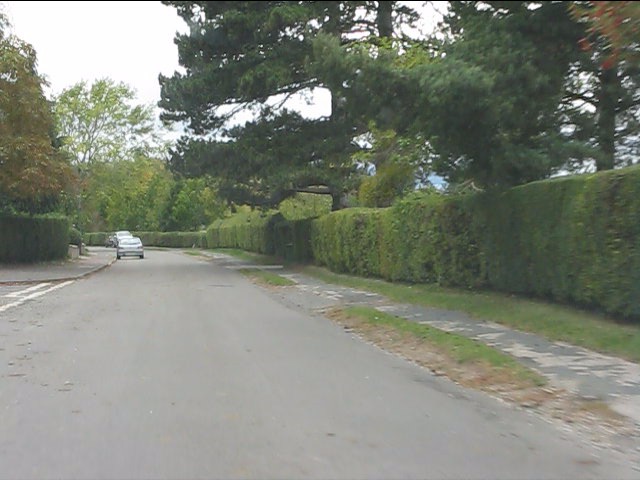
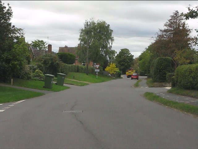
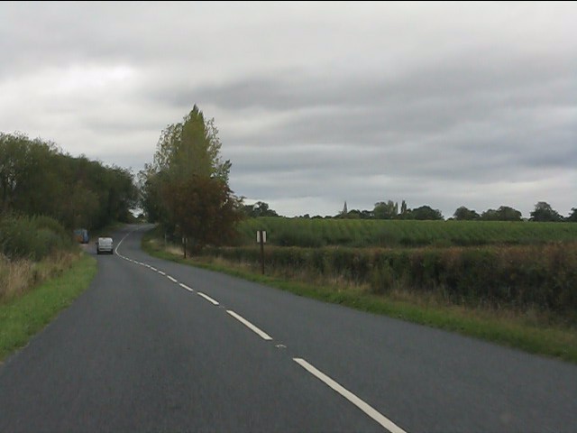
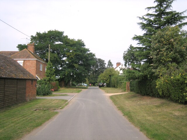
Birlingham Images

Images are sourced within 2km of 52.085033/-2.095997 or Grid Reference SO9342. Thanks to Geograph Open Source API. All images are credited.

Nafford Road
Nafford Road
Glowering sky over Nafford Road
Nafford Road at Nafford Bank
Nafford Road enters Eckington
Nafford Road, Eckington
Eckington - western end of Nafford Road
Eckington - crossroads and war memorial
Eckington Bridge A close-up of this old structure.  Pleasing to the eye, but woefully inadequate for modern traffic.
Eckington Bridge
A close-up of this old structure. Pleasing to the eye, but woefully inadequate for modern traffic.
View north from Eckington Bridge
B4080 north of Eckington Bridge
B4080 at the junction for Birlingham
Lane to Birlingham
Lane to Birlingham
Birlingham crossroads
Birlingham - the lane to Nafford
Lane junction near The Grange
Lane scene near Lower End Farm
Open country near Lower End Farm
Muddy lane to Woodfield Farm The harvest was in progress when photographed.  Woodfield Farm is in the background.
Muddy lane to Woodfield Farm
The harvest was in progress when photographed. Woodfield Farm is in the background.
Show me another place!

Birlingham is located at Grid Ref: SO9342 (Lat: 52.085033, Lng: -2.095997)

Administrative County: Worcestershire

District: Wychavon

Police Authority: West Mercia

What 3 Words

///reforming.marmalade.hostels. Near Eckington, Worcestershire

Nearby Locations

Birlingham

Related Wikis

Nearby Amenities

Located within 500m of 52.085033,-2.095997
Birlingham
Place: hamlet
Wikidata: Q2288372
Lat/Long: 52.0878108/-2.100311
Booth: K6
Colour: red
Description: old red phone box with village information inside
Disused Amenity: telephone
Information: board
Man Made: telephone_box
Tourism: information
Lat/Long: 52.0866529/-2.0994447
Bus Stop
St James
Bus: yes
Naptan AtcoCode: 2000G064000
Naptan Bearing: W
Naptan BusStopType: CUS
Naptan CommonName: Church
Naptan Indicator: Adj
Naptan Landmark: opp Cricket Ground
Naptan NaptanCode: wocdjpat
Naptan Street: Church Lane
Naptan Verified: no
Public Transport: platform
Source: naptan_import
Lat/Long: 52.0871597/-2.0999785
Romanesque sculpture
Historic: monument
Lat/Long: 52.0864429/-2.0998794
Post Box
Collection Times: Mo-Fr 16:15; Sa 07:00
Post Box Mounting: pier
Post Box Type: lamp
Ref: WR10 461
Source: survey
Lat/Long: 52.0866443/-2.099481
Historic: memorial
Lat/Long: 52.0861774/-2.0999671
Post Box
Collection Times: Mo-Fr 16:15; Sa 09:00
Post Box Type: lamp
Ref: WR10 221
Royal Cypher: EIIR
Royal Cypher Wikidata: Q33102113
Source: GPS Survey
Lat/Long: 52.0807992/-2.0962559
Barrier: kissing_gate
Lat/Long: 52.0813775/-2.0986007
Perk's Farm
Landuse: farmland
Source: OS 1:25k
Lat/Long: 52.0812468/-2.0940987
Entrance: main
Lat/Long: 52.086474/-2.0994171
Defibrillator
Defibrillator Location: On exterior wall of Birlingham Village Hall, facing The Avenue, just to the right of the main entrance.
Emergency: defibrillator
Ref: 4302
Ref GB The Circuit: 2D8FEB9F-BAC4-4C7F-8767-F81132121DB0
Lat/Long: 52.0864557/-2.0994305
Waste Basket
Lat/Long: 52.0866438/-2.099471
Power: pole
Lat/Long: 52.0850921/-2.0897372
Power: pole
Lat/Long: 52.0833342/-2.0895065
Power: pole
Lat/Long: 52.0840957/-2.0901945
Power: pole
Lat/Long: 52.0847628/-2.0906666
Power: pole
Lat/Long: 52.0847431/-2.0907269
Power: pole
Lat/Long: 52.0850426/-2.0919058
Power: pole
Lat/Long: 52.0810027/-2.0943768
Birlingham South
Power: pole
Transformer: distribution
Voltage Primary: 11000
Lat/Long: 52.0815813/-2.0947395
Power: pole
Lat/Long: 52.0821813/-2.09447
Power: pole
Lat/Long: 52.082792/-2.0942044
Power: pole
Lat/Long: 52.0834224/-2.0939241
Power: pole
Lat/Long: 52.0841303/-2.0936076
Power: pole
Lat/Long: 52.0848152/-2.093322
Power: pole
Lat/Long: 52.0853385/-2.0930806
Power: pole
Lat/Long: 52.0856302/-2.0942554
Power: pole
Lat/Long: 52.0854143/-2.0955241
Power: pole
Lat/Long: 52.085329/-2.0960089
Power: pole
Lat/Long: 52.085273/-2.0963133
Swan Inn
Power: pole
Transformer: distribution
Voltage Primary: 11000
Lat/Long: 52.0860035/-2.097816
Birlingham
Location Transition: yes
Power: pole
Transformer: distribution
Voltage Primary: 11000
Lat/Long: 52.0851568/-2.0969899
Power: pole
Lat/Long: 52.0849957/-2.0981513
Power: pole
Lat/Long: 52.0821829/-2.1001978
Birlingham Moors
Power: pole
Transformer: distribution
Voltage Primary: 11000
Lat/Long: 52.0828323/-2.0992228
Power: pole
Lat/Long: 52.0832197/-2.0986207
Power: pole
Lat/Long: 52.0840727/-2.0989332
Power: pole
Lat/Long: 52.0848432/-2.0992228
Birlingham Rectory
Power: pole
Transformer: distribution
Voltage Primary: 11000
Lat/Long: 52.0846467/-2.1003111
Power: pole
Lat/Long: 52.0849709/-2.1013096
Power: pole
Lat/Long: 52.0853583/-2.1026427
Birlingham Cricket Ground
Power: pole
Transformer: distribution
Voltage Primary: 11000
Lat/Long: 52.0873253/-2.0993757
Birlingham Firs
Power: pole
Transformer: distribution
Voltage Primary: 11000
Lat/Long: 52.0867905/-2.1026413
The data included in this document is from www.openstreetmap.org. The data is made available under ODbL.

Have you been to Birlingham?

Leave your review of Birlingham below (or comments, questions and feedback).