Binbrook
Civil Parish in Lincolnshire East Lindsey
England
Binbrook

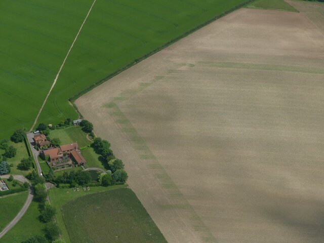
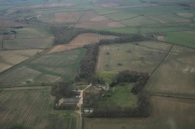
Binbrook is a civil parish located in the East Lindsey district of the county of Lincolnshire, England. It is situated on the eastern edge of the Lincolnshire Wolds, an Area of Outstanding Natural Beauty, and is approximately 11 miles north-east of the town of Market Rasen. The parish covers an area of about 6 square miles and is surrounded by picturesque countryside, offering stunning views and a peaceful rural setting.
The village of Binbrook itself is small, with a population of around 1,000 people. It has a charming and traditional feel, with a mix of historic buildings and more modern developments. The centerpiece of the village is the beautiful St. Mary and St. Gabriel Church, which dates back to the 12th century and is known for its impressive architecture and stained glass windows.
Binbrook offers a range of amenities for its residents, including a primary school, a village hall, a post office, and a local pub. The village is also home to several sports clubs, such as a cricket club and a football club, providing recreational opportunities for residents of all ages.
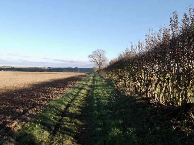
The surrounding area is ideal for outdoor enthusiasts, with numerous walking and cycling trails, as well as opportunities for fishing and birdwatching. The nearby Lincolnshire Wolds is a popular destination for nature lovers, with its rolling hills, charming villages, and diverse wildlife.
Overall, Binbrook is a picturesque and welcoming village, offering a tranquil and idyllic lifestyle for its residents, while also providing easy access to nearby towns and amenities.
If you have any feedback on the listing, please let us know in the comments section below.
Binbrook Images
Images are sourced within 2km of 53.420131/-0.162482 or Grid Reference TF2293. Thanks to Geograph Open Source API. All images are credited.


Binbrook is located at Grid Ref: TF2293 (Lat: 53.420131, Lng: -0.162482)
Administrative County: Lincolnshire
District: East Lindsey
Police Authority: Lincolnshire
What 3 Words
///down.devotion.moderated. Near Wold Newton, Lincolnshire
Nearby Locations
Related Wikis

Binbrook
Binbrook is a village and civil parish in the East Lindsey district of Lincolnshire, England. It is situated on the B1203 road, and 8 miles (13 km) north...

Brookenby Church
Brookenby Church is located in Brookenby, Lincolnshire, England. A member of the Church of England, it forms part of the Walesby group of churches, which...

Swinhope
Swinhope is a village and civil parish about 6 miles west south west of North Thoresby railway station, in the West Lindsey district, in the county of...
Brookenby
Brookenby is a village and civil parish in the West Lindsey district of Lincolnshire, England. The village is situated 7 miles (11 km) north-east from...
Related Videos
Binbrook, Lincolnshire, UK
This walk of about 7 miles starts by heading south from Binbrook towards Low Farm. It returns via the fishing lakes of Thorpe Le ...

BINBROOK: East Lindsey Parish #6 of 188
EAST LINDSEY PARISH #6: BINBROOK Welcome to Binbrook, one of the prettiest of all the Lincolnshire Wolds villages.

Merry Christmas From myenergi
We wish each and every one of our customers, installers, and colleagues a wonderful Christmas and a #zappi new year! We hope ...

80th Anniversary Flypast, Operation Chastise, Dambusters Raid
Lancaster PA474 flypast at RAF Binbrook (now Brookenby) for the 80th anniversary of the Dambusters Raid, Operation ...
Nearby Amenities
Located within 500m of 53.420131,-0.162482Have you been to Binbrook?
Leave your review of Binbrook below (or comments, questions and feedback).