Billingborough

Civil Parish in Lincolnshire South Kesteven

England

Billingborough

Billingborough St. Andrews Church
Billingborough St. Andrews Church Credit: JOHN BLAKESTON

Billingborough is a civil parish located in the county of Lincolnshire, England. Situated approximately 24 miles south of the city of Lincoln, it lies in the South Kesteven district. The village is surrounded by picturesque countryside and is home to a population of around 2,000 residents.

Billingborough has a rich history dating back to the Roman era, with evidence of Roman settlements discovered in the area. The village itself developed during the medieval period and still retains some historic buildings, including St. Andrew's Church, which dates back to the 13th century.

The village is well-served in terms of amenities, with several local businesses, including a post office, convenience stores, and a variety of shops. There are also a number of pubs, restaurants, and takeaway establishments, providing options for dining and socializing.

Education is provided by Billingborough Primary School, which offers education for children aged 4 to 11. For secondary education, students typically travel to nearby towns such as Sleaford or Bourne.

The surrounding countryside offers opportunities for outdoor activities, with plenty of footpaths and bridleways for walking, cycling, and horse riding. The nearby River Slea also provides fishing opportunities for angling enthusiasts.

Overall, Billingborough is a charming village with a strong community spirit. Its historical significance, range of amenities, and access to beautiful countryside make it an attractive place to live or visit in Lincolnshire.

If you have any feedback on the listing, please let us know in the comments section below.

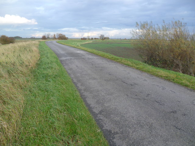
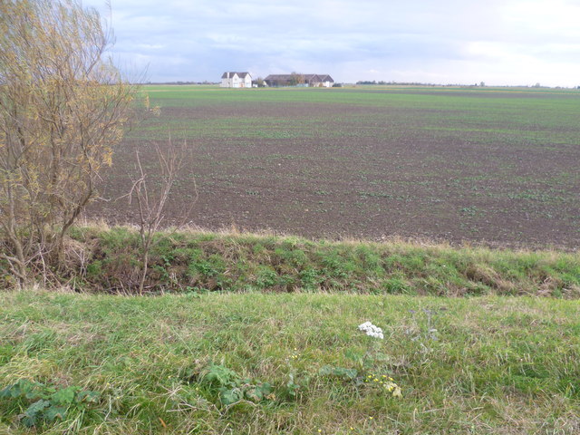
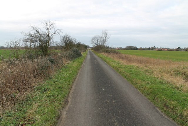
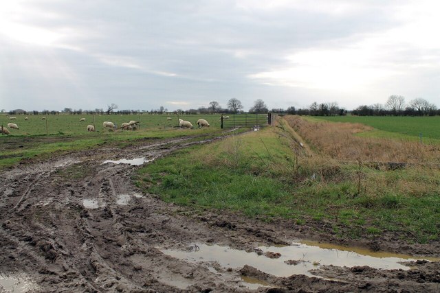
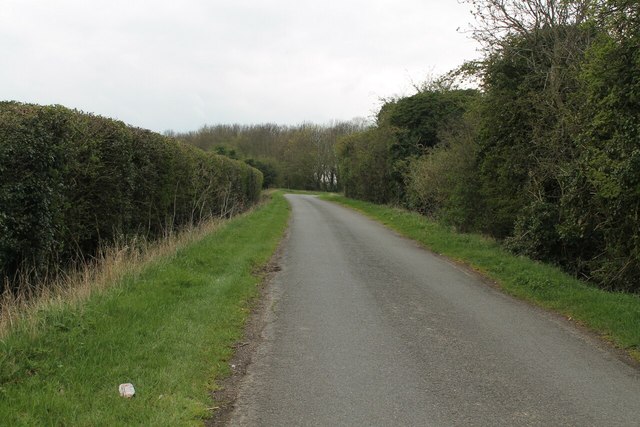
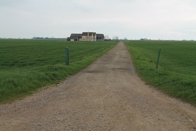
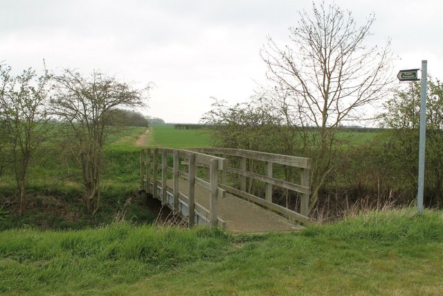
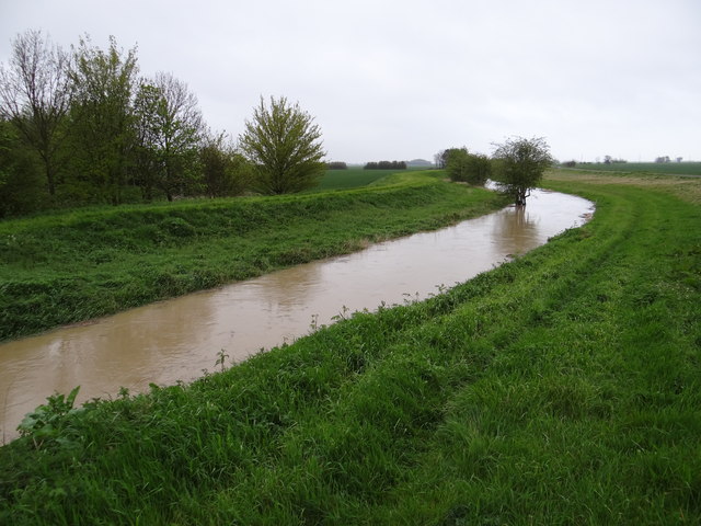
Billingborough Images

Images are sourced within 2km of 52.890136/-0.322718 or Grid Reference TF1233. Thanks to Geograph Open Source API. All images are credited.

Billingborough St. Andrews Church
Billingborough St. Andrews Church Entrance gate
Billingborough St. Andrews Church
Entrance gate
Church Farm Leading down to Billingborough Church
Church Farm
Leading down to Billingborough Church
Horbling St. Andrews Church
Neslam Road Each of the villages between Bourne and Heckington, a distance of some 15 miles, almost without exception has a road leading out onto the fen named after its village and terminating at the South Forty Foot Drain. Neslam Road which runs eastwards from the B1177 between Billingborough and Pointon is an exception as it crosses the South Forty Foot Drain at Neslam Bridge. Unlike some of the other roads which cross the South Forty Foot Drain, it is a fairly quiet, narrow and bumpy road. This is a typical fenland scene with a flat landscape, large hedgeless fields, often isolated trees and lonely farms.
Neslam Road
Each of the villages between Bourne and Heckington, a distance of some 15 miles, almost without exception has a road leading out onto the fen named after its village and terminating at the South Forty Foot Drain. Neslam Road which runs eastwards from the B1177 between Billingborough and Pointon is an exception as it crosses the South Forty Foot Drain at Neslam Bridge. Unlike some of the other roads which cross the South Forty Foot Drain, it is a fairly quiet, narrow and bumpy road. This is a typical fenland scene with a flat landscape, large hedgeless fields, often isolated trees and lonely farms.
Neslam Farm from Neslam Road This is a typical fenland scene with a flat landscape, large hedgeless fields, often isolated trees and lonely farms. The nearest farms to Neslam Farm out on Neslam Fen are at least half a mile away.
Neslam Farm from Neslam Road
This is a typical fenland scene with a flat landscape, large hedgeless fields, often isolated trees and lonely farms. The nearest farms to Neslam Farm out on Neslam Fen are at least half a mile away.
Track to Sewage Works at Horbling
Sandygate Lane towards Horbling
Mud and Sheep I wouldn't fancy walking along this footpath along Car Dyke!
Mud and Sheep
I wouldn't fancy walking along this footpath along Car Dyke!
Birthorpe road towards Billingborough
Neslam Road
Neslam Road
Public footpath and Track off Cow Gate
Neslam Road The road clips the corner of this square here.
Neslam Road
The road clips the corner of this square here.
Track to Neslam Farm, from Neslam Road
Track from St Andrew's church joins Pointon Road
Footpath with Bridge over Billingborough Lode
High rise The water level in Billingborough Lode is much higher than normal after some heavy rain.
High rise
The water level in Billingborough Lode is much higher than normal after some heavy rain.
Show me another place!

Billingborough is located at Grid Ref: TF1233 (Lat: 52.890136, Lng: -0.322718)

Administrative County: Lincolnshire

District: South Kesteven

Police Authority: Lincolnshire

What 3 Words

///bulldozer.frogs.offerings. Near Billingborough, Lincolnshire

Nearby Locations

Billingborough

Related Wikis

St Andrew's Church, Billingborough

St Andrew's Church is a Grade I listed Anglican parish church dedicated to Andrew the Apostle, in Billingborough, Lincolnshire, England. The church is...

Billingborough

Billingborough is a village and civil parish in the South Kesteven district of Lincolnshire, England. It is situated approximately 10 miles (16 km) north...

Sempringham

Sempringham is a village in the civil parish of Pointon and Sempringham, in the South Kesteven district of Lincolnshire, England. It is situated 2 miles...

Billingborough and Horbling railway station

Billingborough and Horbling railway station was a station serving the villages of Billingborough, Horbling and Threekingham, Lincolnshire on the Great...

Nearby Amenities

Located within 500m of 52.890136,-0.322718
Cowgate House
Place: isolated_dwelling
Source: Bing
Lat/Long: 52.888338/-0.3276646
The data included in this document is from www.openstreetmap.org. The data is made available under ODbL.

Have you been to Billingborough?

Leave your review of Billingborough below (or comments, questions and feedback).