Billericay
Civil Parish in Essex Basildon
England
Billericay

Billericay is a civil parish located in the county of Essex, England. Situated around 25 miles east of central London, it is part of the Borough of Basildon. The town has a population of approximately 40,000 people.
Historically, Billericay was a small agricultural village, but it has experienced significant growth over the years and is now considered a commuter town for those working in London. The town is well-connected, with a direct train line to London Liverpool Street taking around 30 minutes.
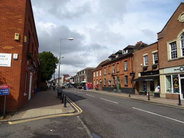
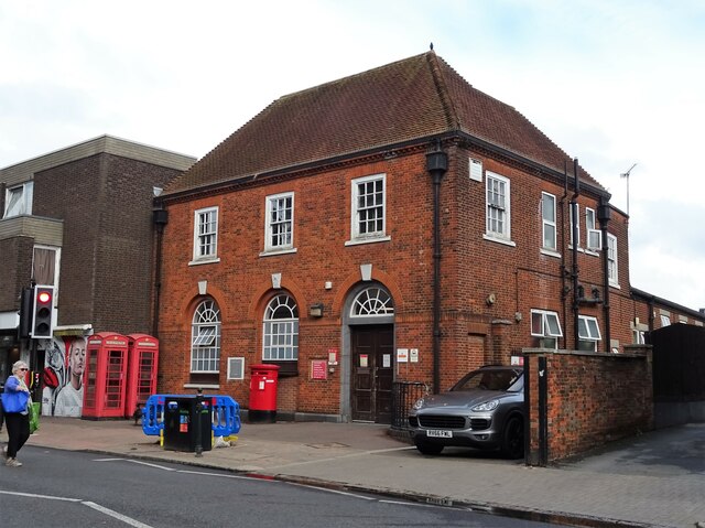
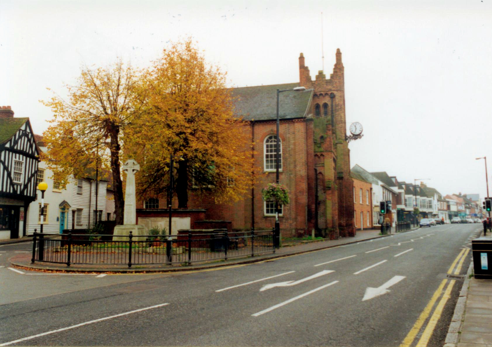
Billericay offers a mix of old and new architecture, with a charming high street lined with shops, cafes, and restaurants. The town center also features a local market, providing fresh produce and other goods. Nearby, there are several parks and open spaces, including Lake Meadows and Norsey Wood, which offer recreational activities and beautiful natural surroundings.
Education in Billericay is well-regarded, with a number of primary and secondary schools serving the local community. The town also has a strong sense of community, with various clubs and organizations catering to different interests, such as sports, arts, and social activities.
Overall, Billericay is a desirable place to live, offering a balance between a peaceful, countryside setting and easy access to the amenities of a larger town. Its proximity to London makes it an attractive option for commuters, while its community spirit and range of facilities contribute to a high quality of life for its residents.
If you have any feedback on the listing, please let us know in the comments section below.
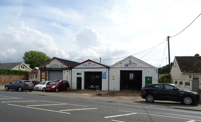
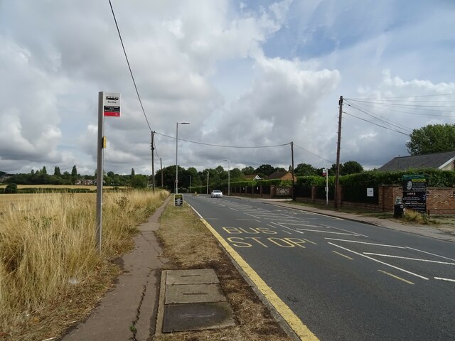
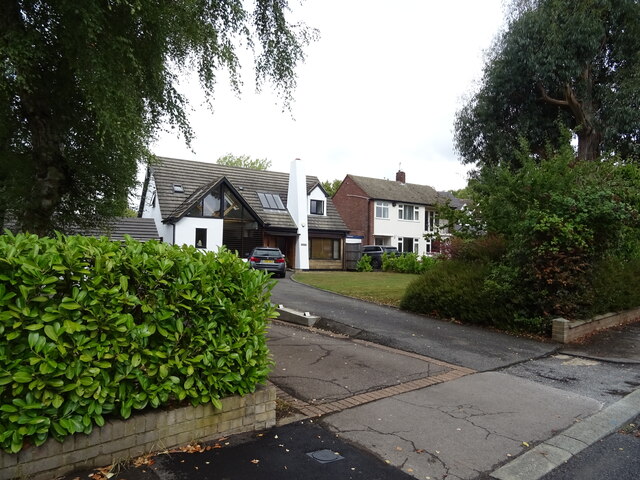
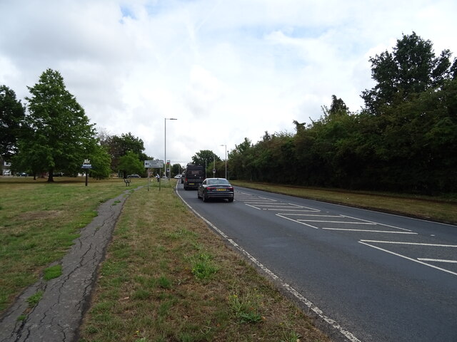
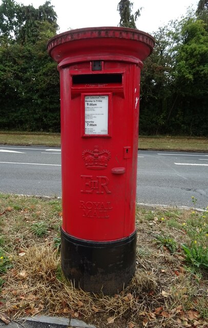
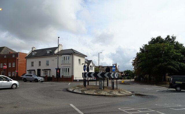
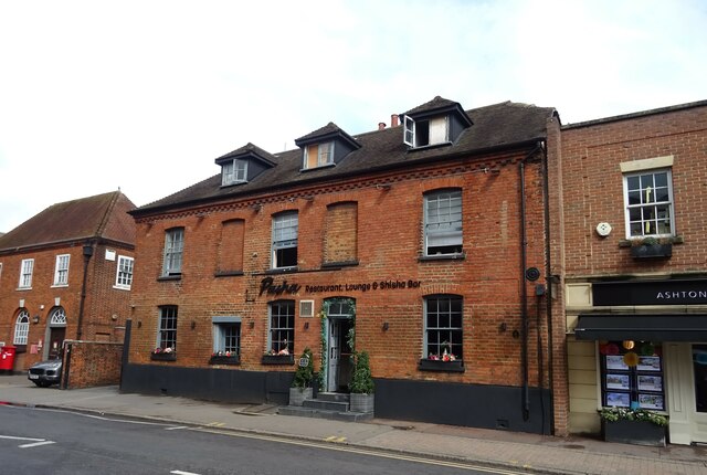
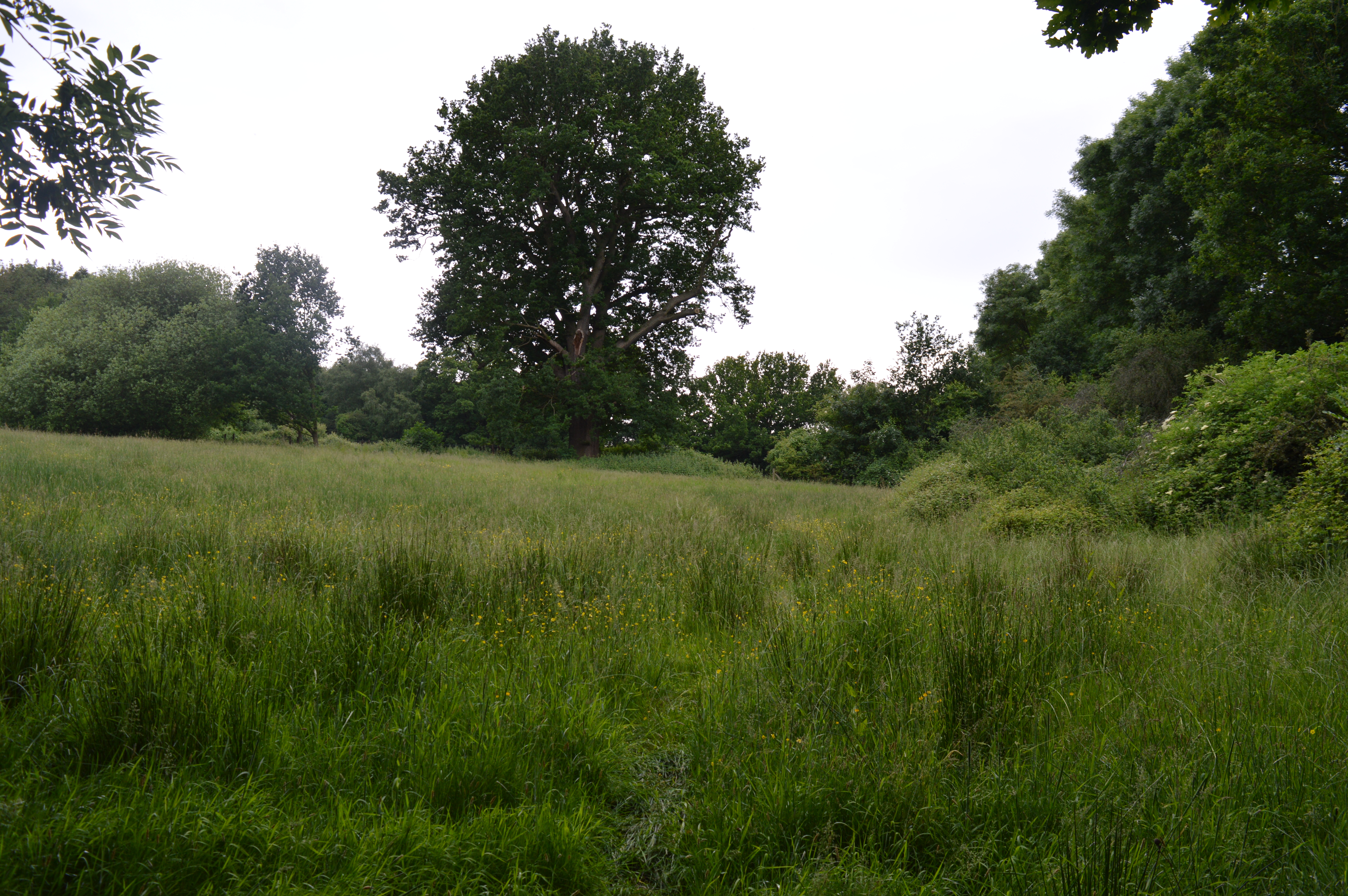
Billericay Images
Images are sourced within 2km of 51.63123/0.416939 or Grid Reference TQ6795. Thanks to Geograph Open Source API. All images are credited.


Billericay is located at Grid Ref: TQ6795 (Lat: 51.63123, Lng: 0.416939)
Administrative County: Essex
District: Basildon
Police Authority: Essex
What 3 Words
///paints.frogs.hint. Near Billericay, Essex
Nearby Locations
Related Wikis
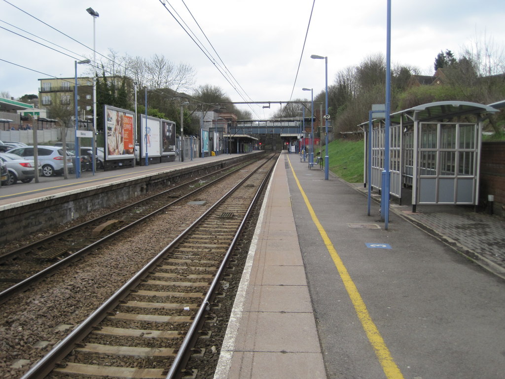
Billericay railway station
Billericay railway station is on the Shenfield to Southend Line in the east of England, serving the town of Billericay in the Basildon district of the...

Lake Meadows
Lake Meadows is a park in Billericay, Essex, England. It is the site of many local events, including Billericay Fireworks and small-scale concerts. The...
Billericay
Billericay ( BIL-ə-RIK-ee) is a town and civil parish in the Borough of Basildon in Essex, England. It lies within the London Basin and constitutes a...

St John's School, Billericay
St John's School is an independent school in Billericay, Essex for students aged 3–16. The school is split into Kindergarten, Junior and Senior School...

Cater Museum
The Cater Museum is a small local museum in Billericay, Essex county, England. The museum was established by Alice May Cater, in honour of her late husband...

Old Town Hall, Billericay
The Old Town Hall is a municipal building in the High Street, Billericay, Essex, England. The structure, which currently operates as a restaurant, was...
Mill Meadows, Billericay
Mill Meadows, Billericay is a 6.7-hectare (17-acre) biological Site of Special Scientific Interest (SSSI) in Billericay in Essex, England. It is part of...

Norsey Wood
Norsey Wood is a 67.2-hectare (166-acre) biological Site of Special Scientific Interest in Billericay, Essex. It is also a Local Nature Reserve and a Scheduled...
Nearby Amenities
Located within 500m of 51.63123,0.416939Have you been to Billericay?
Leave your review of Billericay below (or comments, questions and feedback).