Biggleswade
Civil Parish in Bedfordshire
England
Biggleswade

The requested URL returned error: 429 Too Many Requests
If you have any feedback on the listing, please let us know in the comments section below.
Biggleswade Images
Images are sourced within 2km of 52.082303/-0.245655 or Grid Reference TL2044. Thanks to Geograph Open Source API. All images are credited.


Biggleswade is located at Grid Ref: TL2044 (Lat: 52.082303, Lng: -0.245655)
Unitary Authority: Central Bedfordshire
Police Authority: Bedfordshire
What 3 Words
///intensely.sardine.hedge. Near Biggleswade, Bedfordshire
Nearby Locations
Related Wikis
Stratton Park Moated Enclosure
Stratton Park Moated Enclosure (locally known as and sometimes informally referred to as Stratton Moat, also sometimes referred to as Stratton Park Moated...
Biggleswade
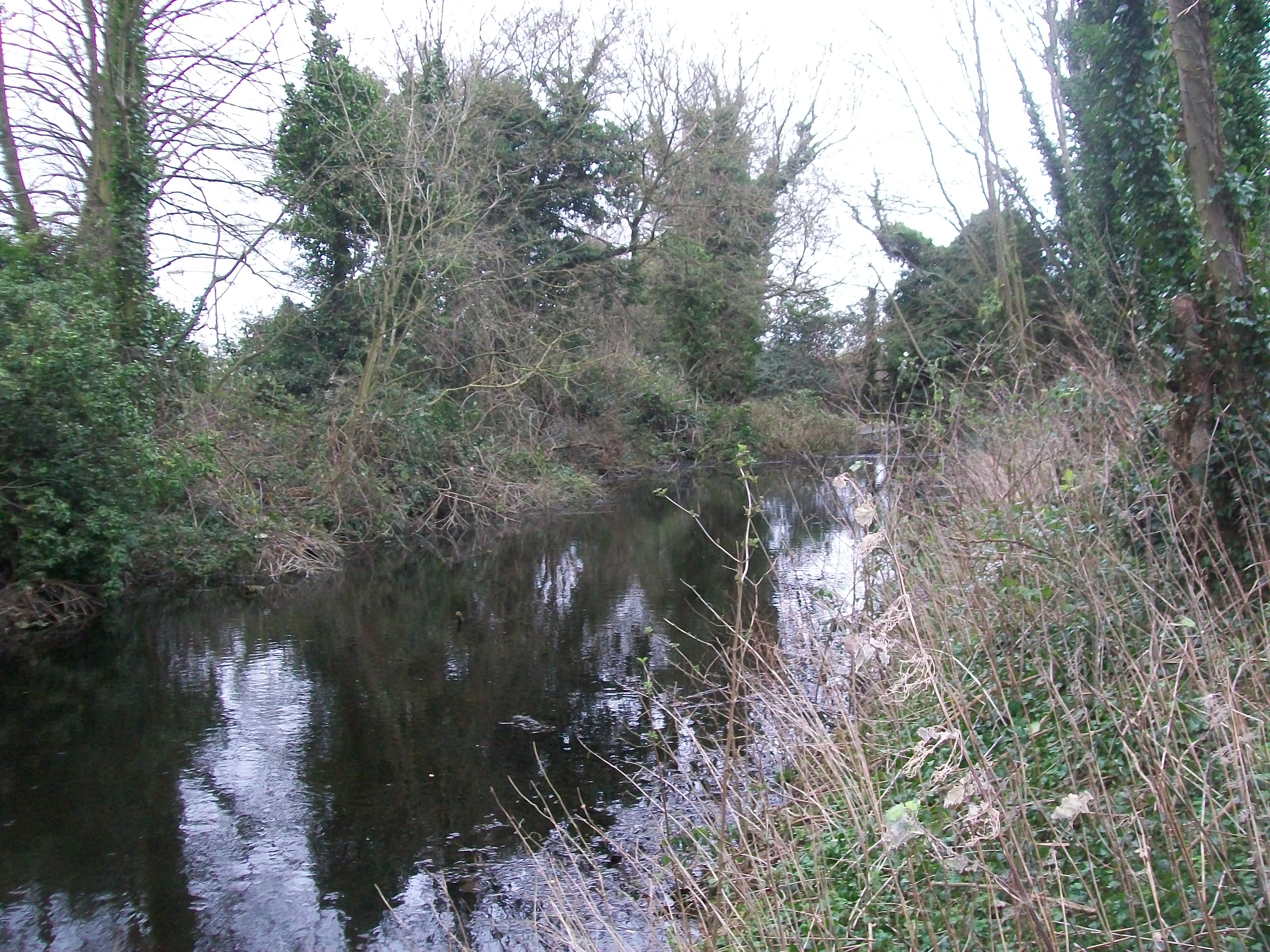
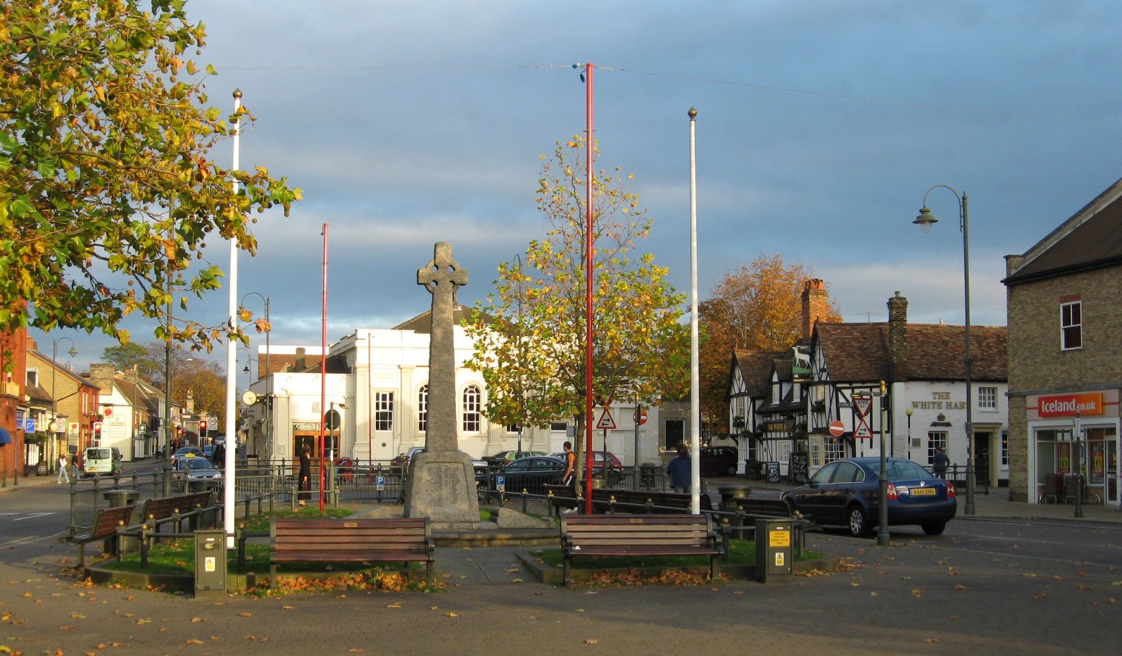
Biggleswade ( BIG-əlz-wayd) is a market town and civil parish in Central Bedfordshire in Bedfordshire, England. It lies on the River Ivel, 11 miles (18...

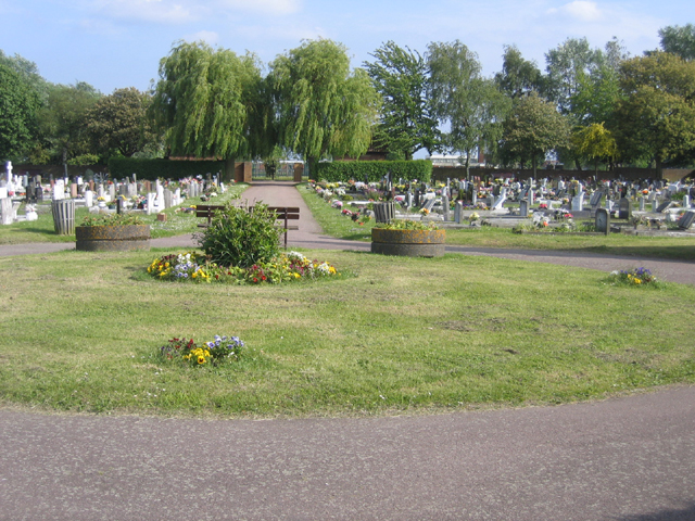
Biggleswade Cemetery
Biggleswade Cemetery (also known as Drove Road Cemetery) was the main burial ground for the town of Biggleswade in Bedfordshire. Opening in 1869, the cemetery...

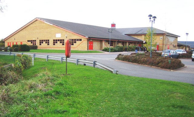
Ivel Valley School
Ivel Valley School is a coeducational special school, located in Biggleswade, Bedfordshire, England. The school accepts pupils from all over the Central...
Nearby Amenities
Located within 500m of 52.082303,-0.245655Have you been to Biggleswade?
Leave your review of Biggleswade below (or comments, questions and feedback).