Berwick-upon-Tweed
Civil Parish in Northumberland
England
Berwick-upon-Tweed

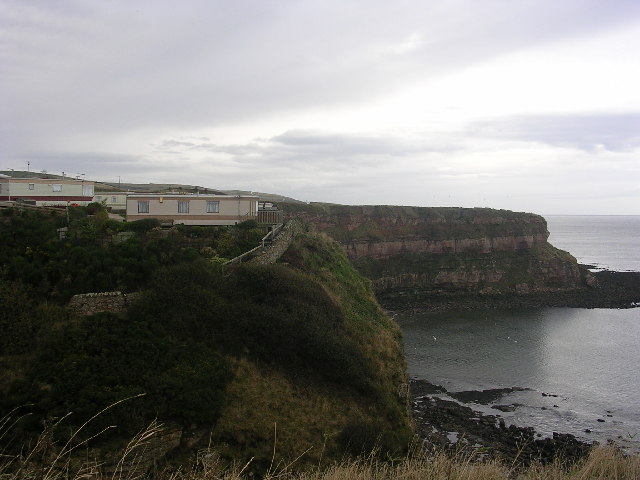
Berwick-upon-Tweed is a civil parish located in the county of Northumberland, England. Situated on the east coast, it is the northernmost town in England and lies on the border between England and Scotland. The town is known for its rich history and strategic location, which has played a significant role in the conflicts between the two nations.
The town's history dates back to the Roman era, with evidence of settlements and fortifications. Throughout the centuries, Berwick-upon-Tweed changed hands between England and Scotland multiple times, leading to the construction of numerous defensive walls and fortifications, some of which still stand today.
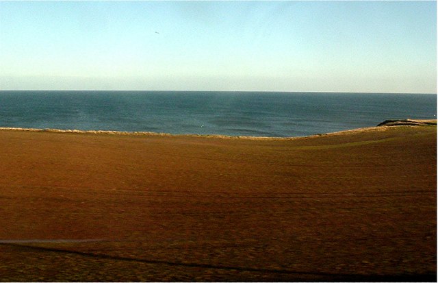
Today, Berwick-upon-Tweed is a charming town with a population of around 12,000 residents. It boasts a picturesque setting, with its location on the banks of the River Tweed and views of the North Sea. The town's architecture reflects its history, with a blend of medieval, Georgian, and Victorian buildings.
Visitors to Berwick-upon-Tweed can explore its many historical landmarks, including the Elizabethan town walls, built to defend against Scottish invasions. The town also has several museums and art galleries, showcasing its rich cultural heritage.
In addition to its historical significance, Berwick-upon-Tweed offers a range of outdoor activities. The surrounding countryside is ideal for hiking, cycling, and birdwatching, with the nearby Northumberland National Park and Northumberland Coast providing stunning natural landscapes.
Overall, Berwick-upon-Tweed is a captivating town that combines history, natural beauty, and a vibrant community, making it an attractive destination for both residents and visitors.
If you have any feedback on the listing, please let us know in the comments section below.
Berwick-upon-Tweed Images
Images are sourced within 2km of 55.788055/-2.034936 or Grid Reference NT9754. Thanks to Geograph Open Source API. All images are credited.


Berwick-upon-Tweed is located at Grid Ref: NT9754 (Lat: 55.788055, Lng: -2.034936)
Unitary Authority: Northumberland
Police Authority: Northumbria
What 3 Words
///amused.stays.data. Near Berwick-Upon-Tweed, Northumberland
Nearby Locations
Related Wikis

Liberties of Berwick
The Liberties of Berwick are coterminous with the parish of Holy Trinity and St. Mary. They comprise the town of Berwick-upon-Tweed and a rural area to...
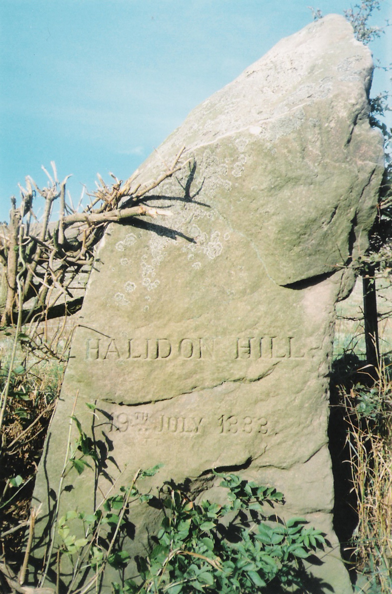
Halidon Hill
Halidon Hill is a summit, about 2 miles (3 km) west of the centre of Berwick-upon-Tweed, on the border of England and Scotland. It reaches 600 feet (180...
Battle of Halidon Hill
The Battle of Halidon Hill took place on 19 July 1333 when a Scottish army under Sir Archibald Douglas attacked an English army commanded by King Edward...

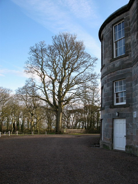
Marshall Meadows House
Marshall Meadows House is a Georgian mansion and the most northerly hotel in England, located north of Berwick-upon-Tweed, Northumberland, in northeastern...
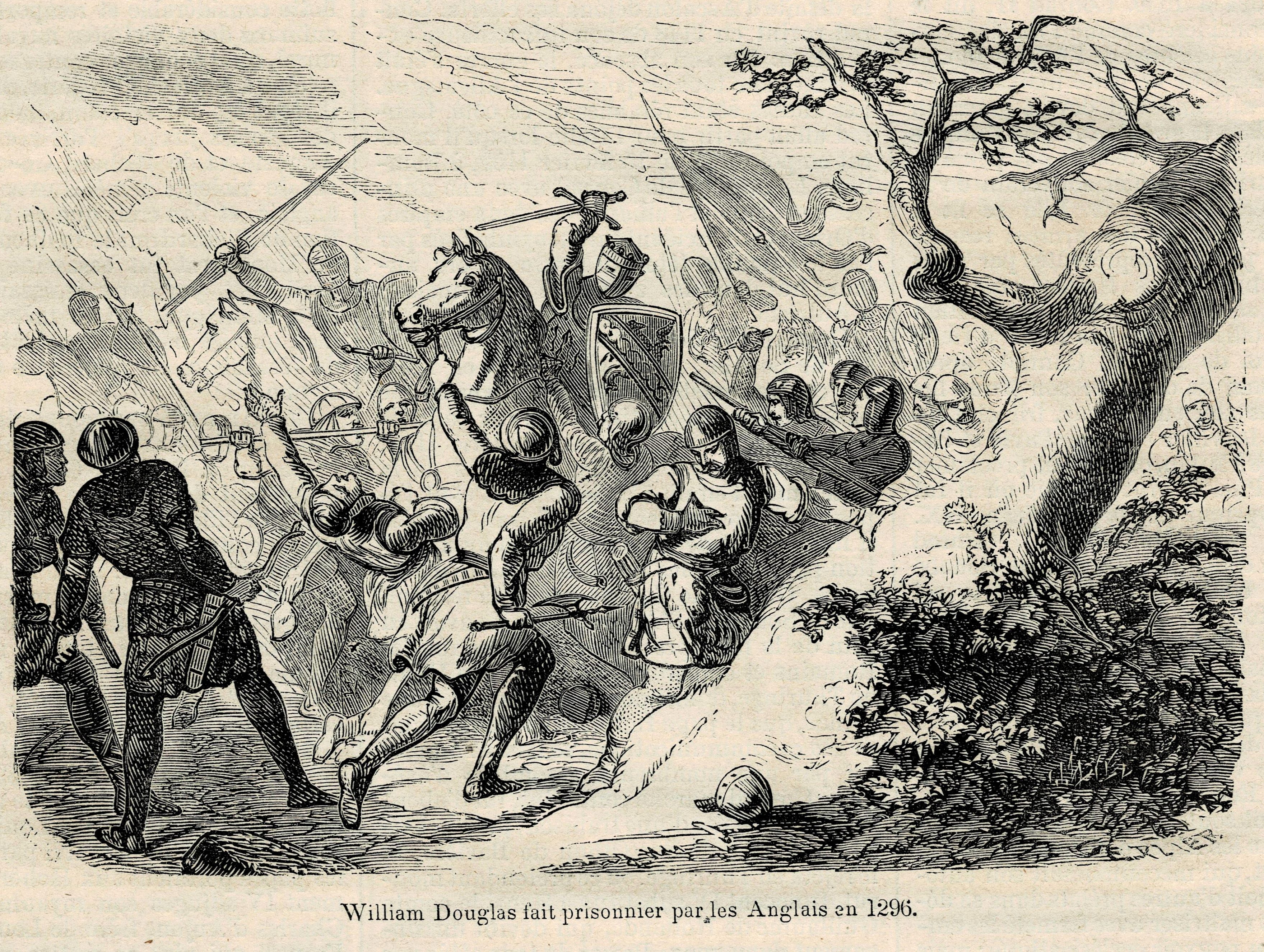
Sack of Berwick (1296)
The sack of Berwick was the first significant battle of the First War of Scottish Independence in 1296. == Background == Upon the death of Margaret, Maid...
English invasion of Scotland (1482)
In July 1482 an English army invaded Scotland during the Anglo-Scottish Wars. The town of Berwick-upon-Tweed and its castle were captured and the English...
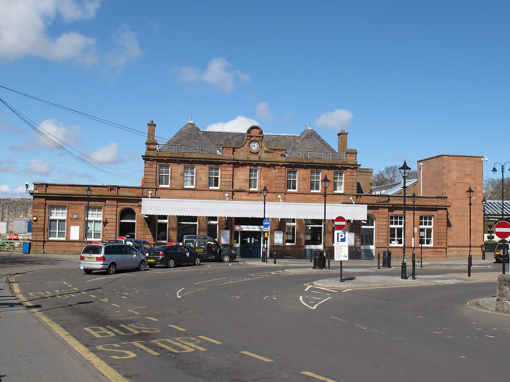
Berwick-upon-Tweed railway station
Berwick-upon-Tweed is a railway station on the East Coast Main Line, which runs between London King's Cross and Edinburgh Waverley. The station, situated...
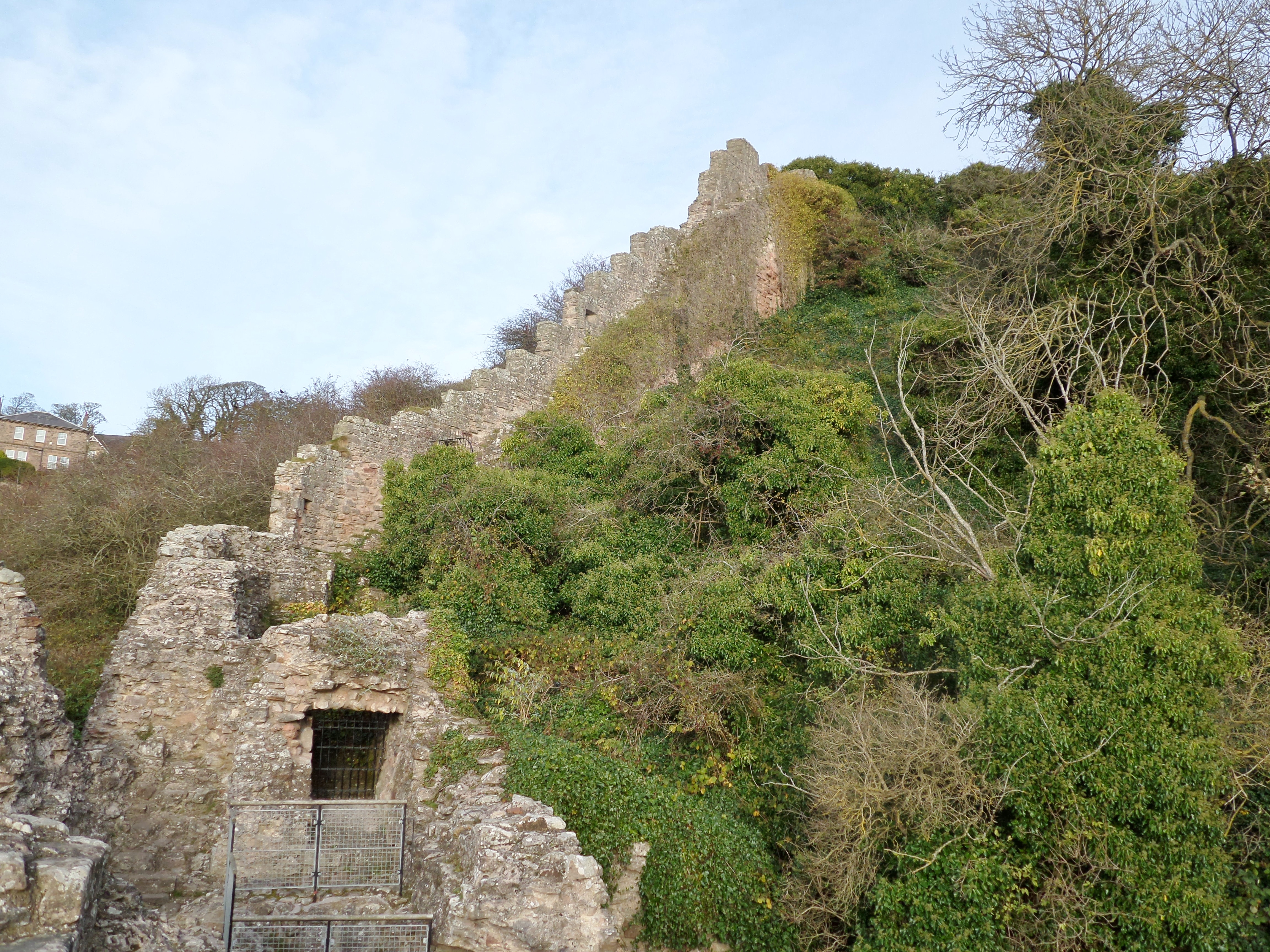
Berwick Castle
Berwick Castle is a ruined castle in Berwick-upon-Tweed, Northumberland, England. == History == The castle was commissioned by the Scottish King David...
Nearby Amenities
Located within 500m of 55.788055,-2.034936Have you been to Berwick-upon-Tweed?
Leave your review of Berwick-upon-Tweed below (or comments, questions and feedback).