Bepton
Civil Parish in Sussex Chichester
England
Bepton

Bepton is a small village and civil parish located in the district of Chichester, West Sussex, England. Situated approximately 4 miles north of Midhurst, Bepton is surrounded by picturesque countryside and offers a tranquil and scenic environment.
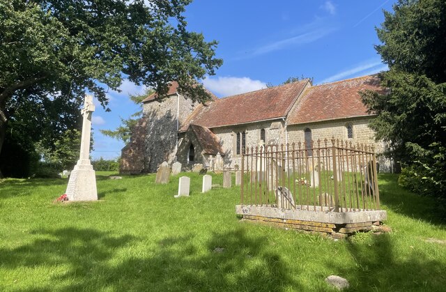
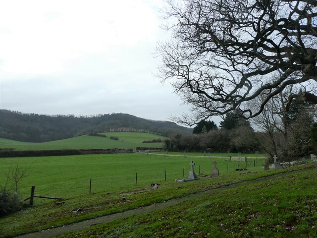
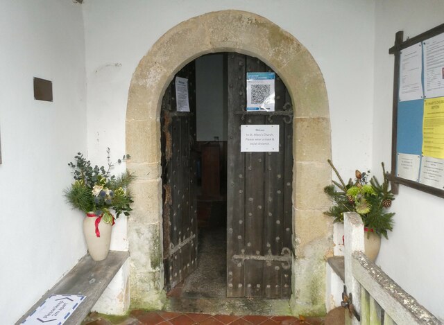
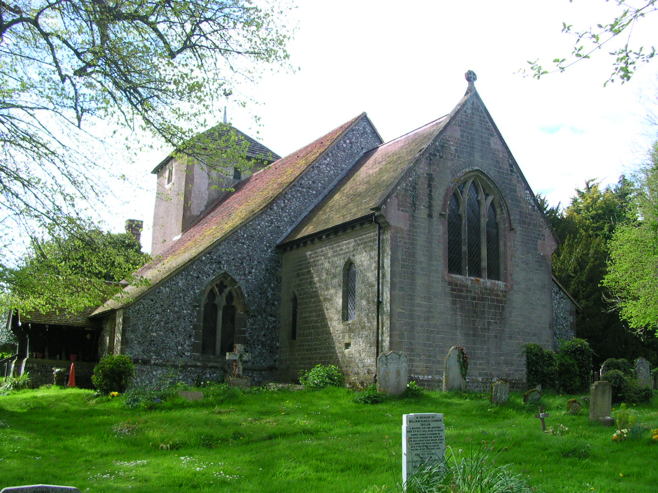
The village is known for its rural charm and historic architecture. It features a mix of traditional thatched cottages and period houses, adding to its quaint and idyllic appeal. The local parish church, St. Mary's, dates back to the 12th century and is a notable landmark within the community.
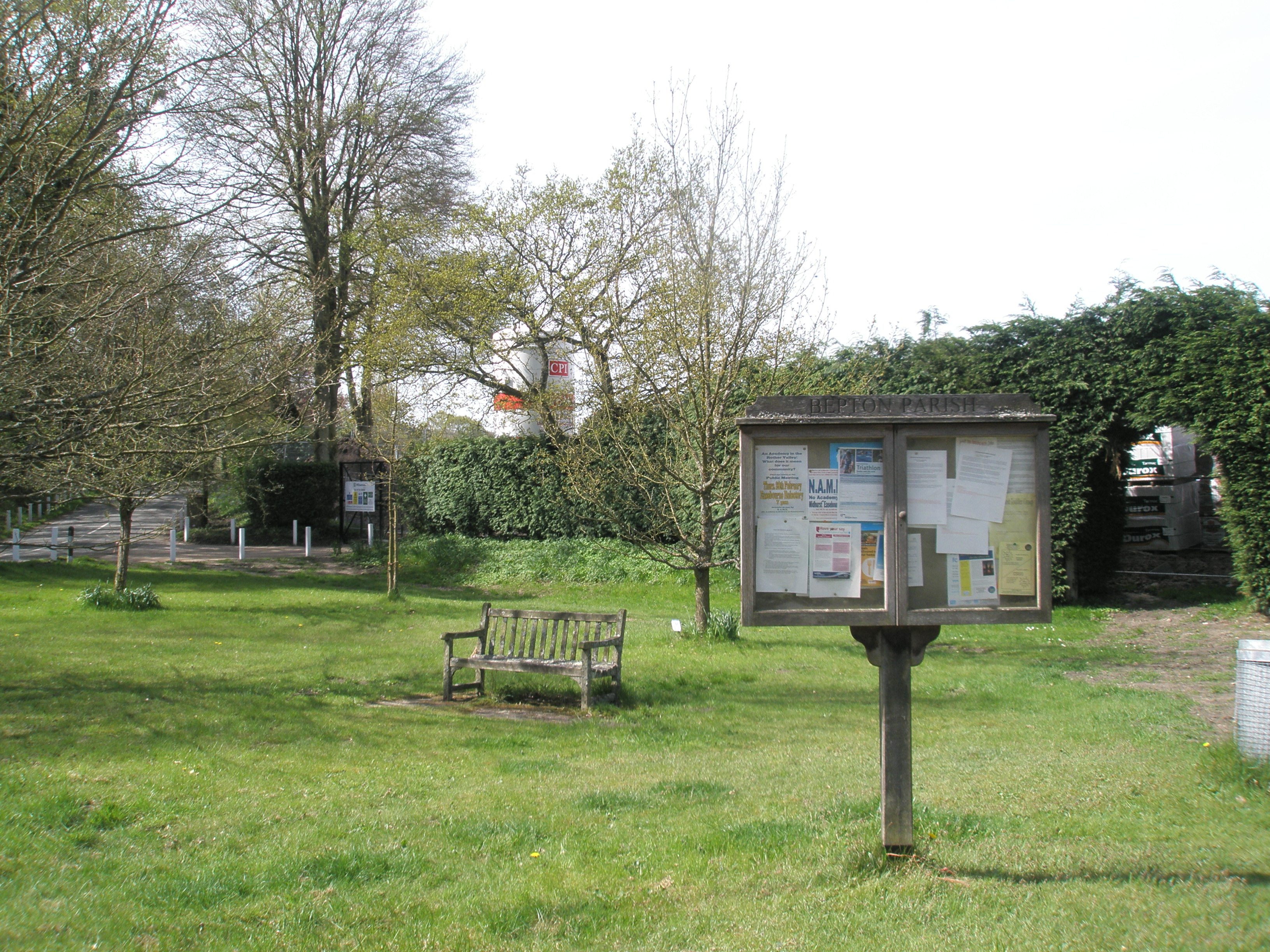
Despite its small size, Bepton offers a range of amenities to its residents and visitors. There is a village hall that hosts various community events, including social gatherings, clubs, and classes. The village also boasts a traditional pub, The Royal Oak, where locals and tourists can enjoy a drink or a meal in a friendly atmosphere.
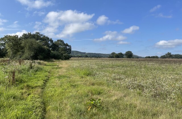
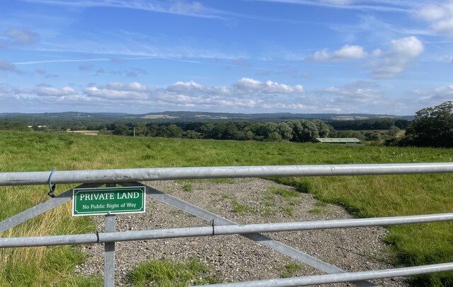
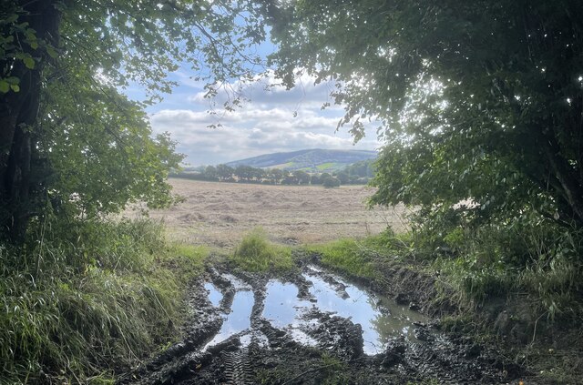
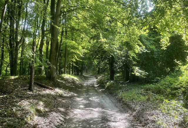
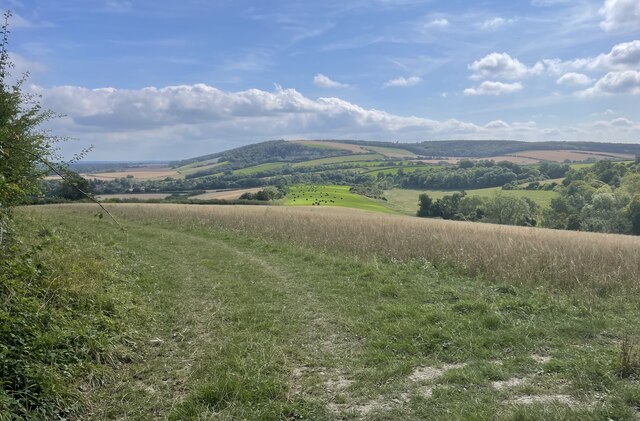
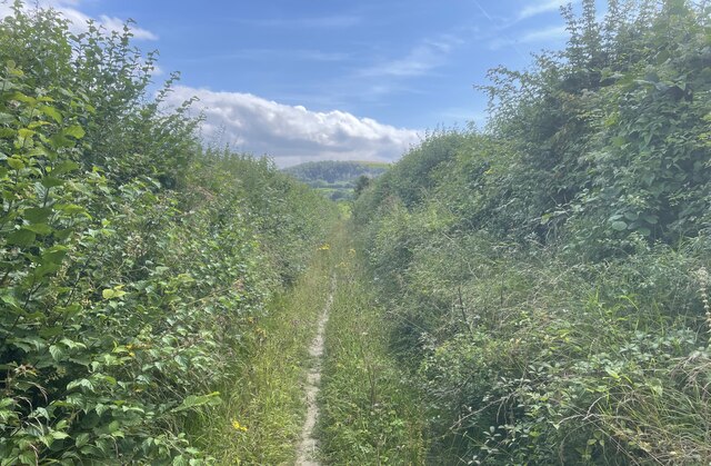
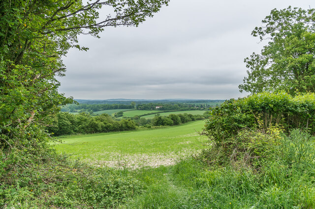
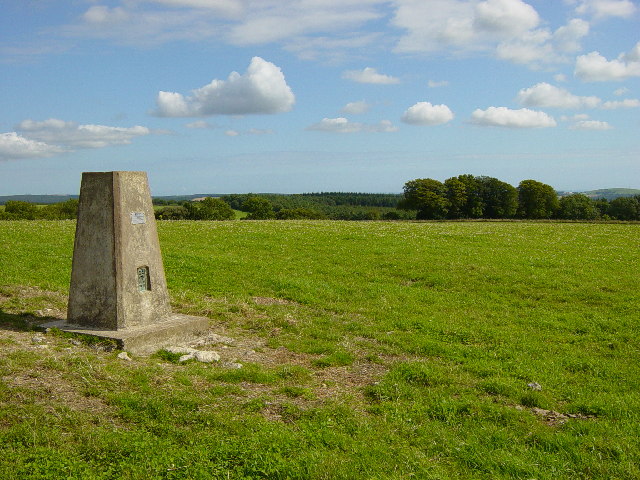
Surrounded by rolling hills and farmland, Bepton is an ideal destination for outdoor enthusiasts. The area offers several walking and cycling routes that showcase the stunning countryside and provide opportunities for exploration. The nearby South Downs National Park also provides additional recreational options, including hiking, horse riding, and nature spotting.
Bepton's location makes it easily accessible to nearby towns and cities. Midhurst, with its range of shops, amenities, and historical sites, is a short distance away, while Chichester and Petersfield can be reached within a 20-minute drive.
Overall, Bepton is a charming and peaceful village, offering a rural escape with a strong sense of community and a wealth of natural beauty.
If you have any feedback on the listing, please let us know in the comments section below.
Bepton Images
Images are sourced within 2km of 50.958927/-0.783925 or Grid Reference SU8518. Thanks to Geograph Open Source API. All images are credited.


Bepton is located at Grid Ref: SU8518 (Lat: 50.958927, Lng: -0.783925)
Administrative County: West Sussex
District: Chichester
Police Authority: Sussex
What 3 Words
///jolt.passions.gravitate. Near Midhurst, West Sussex
Nearby Locations
Related Wikis
Bepton
Bepton is a village, Anglican parish and civil parish in the Chichester district of West Sussex, England. According to the 2001 census it had 104 households...
Treyford to Bepton Down
Treyford to Bepton Down is a 121.5-hectare (300-acre) biological Site of Special Scientific Interest south-west of Midhurst in West Sussex.This site consists...
Didling
Didling is a small village in West Sussex, England. On 1 April 1933 the parish was abolished and merged with Treyford. The 824 acre village consists of...
Cocking railway station
Cocking Railway Station served the village of Cocking in West Sussex, England. It was on the former London Brighton and South Coast Railway line between...
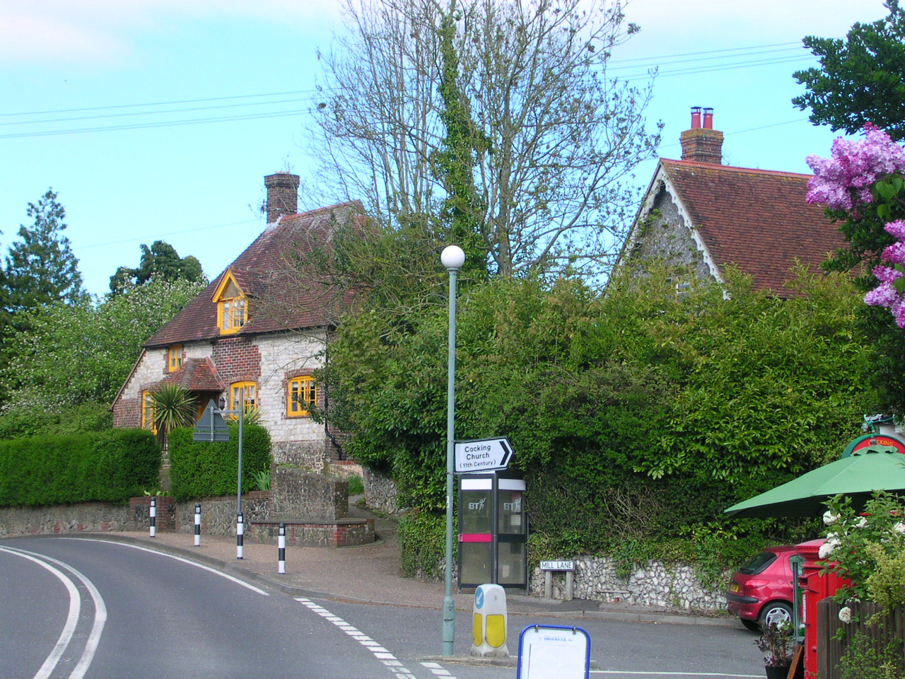
Cocking, West Sussex
Cocking is a village, parish and civil parish in the Chichester district of West Sussex, England. The village is about three miles (5 km) south of Midhurst...
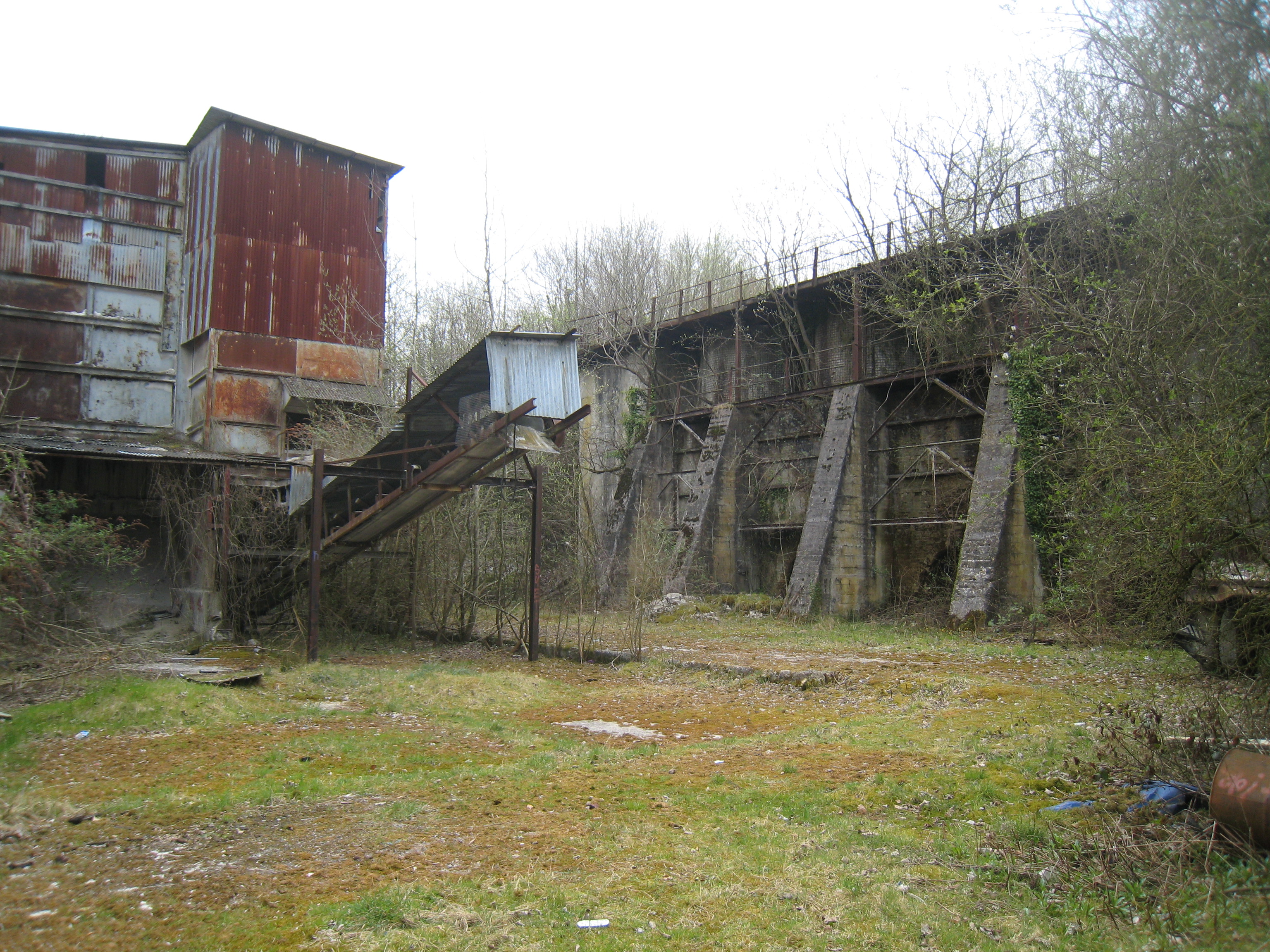
Cocking Lime Works
Cocking Lime Works and its associated chalk quarry are abandoned industrial sites in the South Downs of England. They are to the south of the village of...
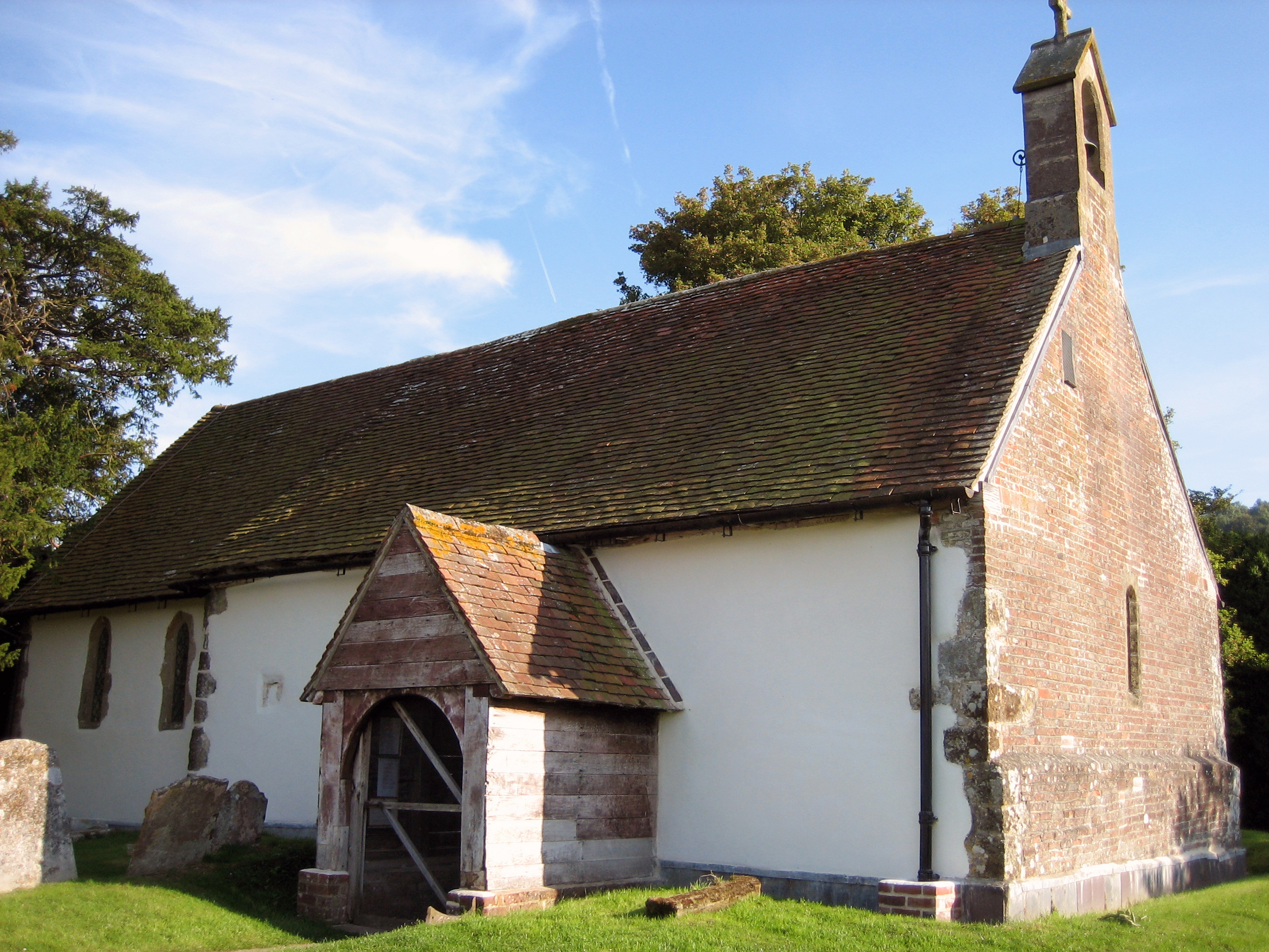
St Catherine of Siena Church, Cocking
St Catherine of Siena Church is an Anglican parish church in Cocking, a village in the district of Chichester, one of seven local government districts...
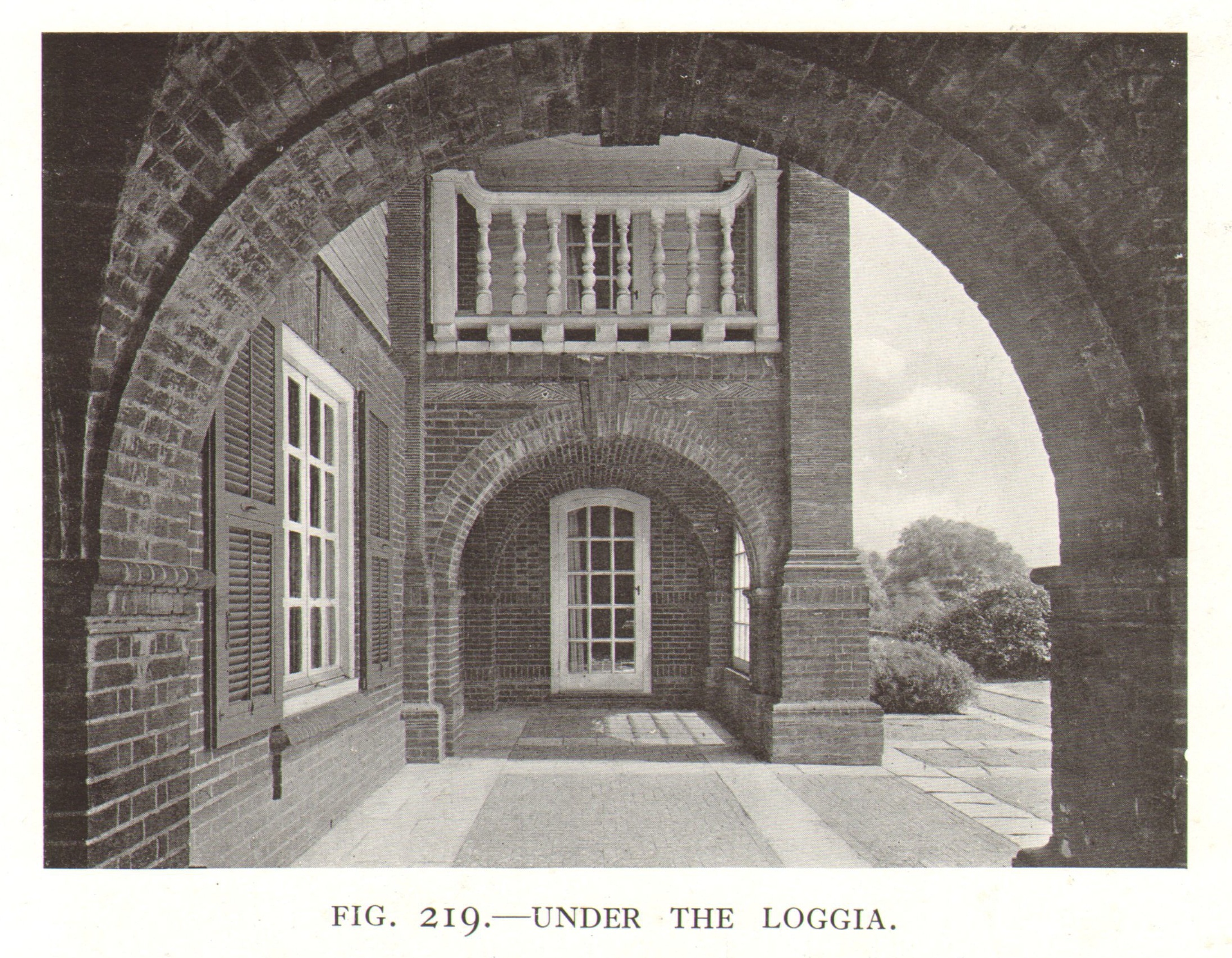
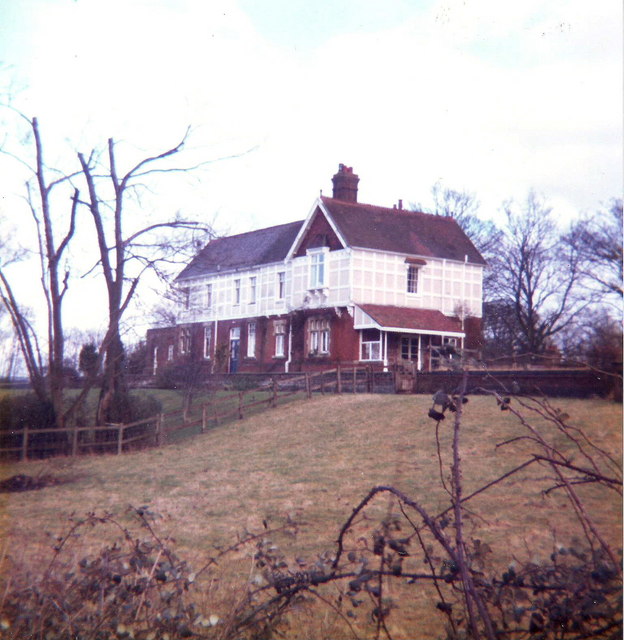
Monkton House, West Dean
Monkton House, West Dean, West Sussex is an English country house designed in 1902 by Edwin Lutyens for Willie James. It was extensively remodelled for...
Nearby Amenities
Located within 500m of 50.958927,-0.783925Have you been to Bepton?
Leave your review of Bepton below (or comments, questions and feedback).