Bentley
Civil Parish in Suffolk Babergh
England
Bentley
Bentley is a civil parish located in the county of Suffolk, England. It is situated in the Babergh district and lies approximately 10 miles southwest of the town of Ipswich. The parish covers an area of around 9.8 square miles and is home to a population of approximately 1,200 residents.
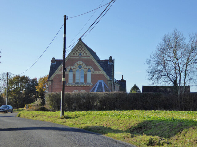
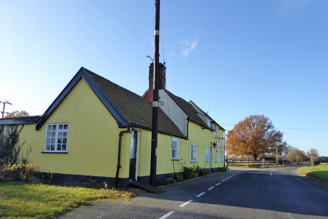
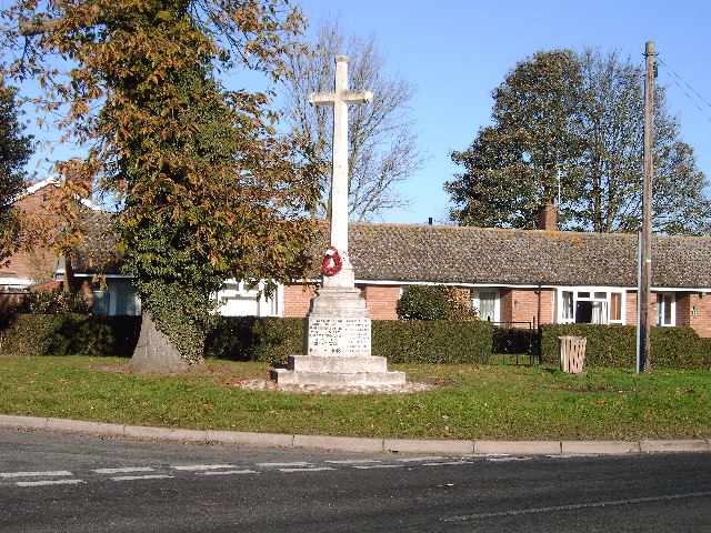
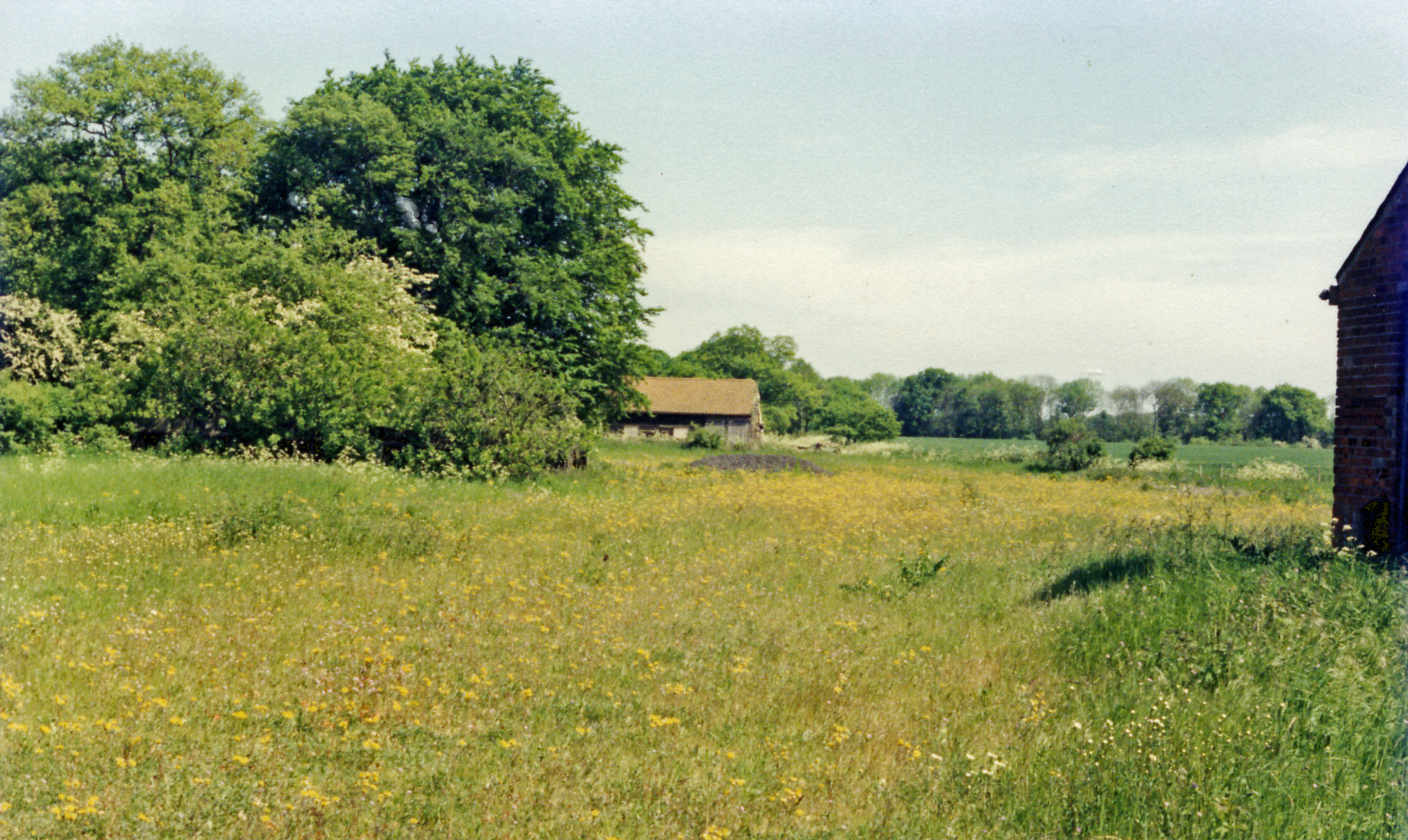
The village of Bentley is the main settlement within the civil parish. It is a picturesque village with a rich history dating back to medieval times. The village is known for its charming rural character, with traditional thatched cottages, a village green, and a parish church that dates back to the 14th century.
The economy of Bentley is predominantly based on agriculture, with farming being a significant industry in the area. The fertile land surrounding the village allows for the cultivation of crops such as wheat, barley, and oilseed rape.
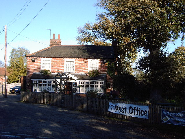
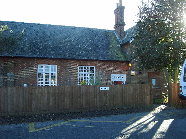
In terms of amenities, Bentley offers a range of facilities to its residents. These include a primary school, a village hall, and a pub. The village also benefits from good transportation links, with the A12 road passing nearby, providing easy access to Ipswich and other nearby towns.
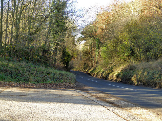
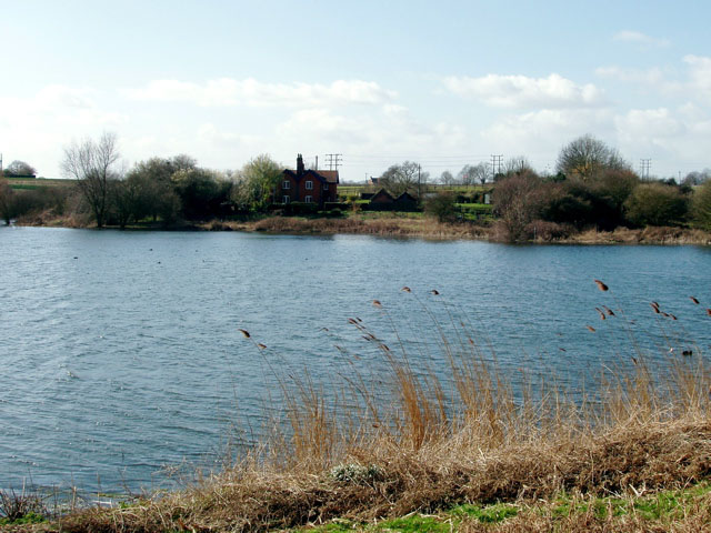
Bentley is surrounded by beautiful countryside, making it an attractive destination for nature lovers and those seeking outdoor activities. There are several walking and cycling routes in the area, allowing visitors to explore the scenic landscapes and enjoy the tranquility of the Suffolk countryside.
Overall, Bentley is a charming rural parish with a strong agricultural heritage and a close-knit community. Its idyllic setting and rich history make it an appealing place to live or visit for those seeking a peaceful and picturesque countryside experience.
If you have any feedback on the listing, please let us know in the comments section below.
Bentley Images
Images are sourced within 2km of 51.998561/1.080458 or Grid Reference TM1137. Thanks to Geograph Open Source API. All images are credited.


Bentley is located at Grid Ref: TM1137 (Lat: 51.998561, Lng: 1.080458)
Administrative County: Suffolk
District: Babergh
Police Authority: Suffolk
What 3 Words
///rosier.inspected.rattler. Near Capel St Mary, Suffolk
Related Wikis

Bentley Church railway station
Bentley Church railway station was located in Suffolk, the village of Bentley. It was situated between the stations of Hadleigh and Manningtree, 1+1⁄4...

Bentley railway station (Suffolk)
Bentley railway station, also known as Bentley Junction between 1849 and 1878, was located in Bentley, Suffolk on the Great Eastern Main Line. It opened...

Bentley, Suffolk
Bentley is a village and civil parish in the Babergh district of Suffolk, England, about 6 miles (10 km) southwest of Ipswich. The 2011 Census recorded...
Capel railway station
Capel railway station was a station in Capel St Mary, Suffolk, on a short branch line from Bentley Junction to Hadleigh. The station buildings were remarkably...

Samford Rural District
Samford Rural District was a rural district within the administrative county of East Suffolk between 1894 and 1974. It was created out of the earlier Samford...
Blackbourn Hundred
Blackbourn was a hundred of Suffolk, consisting of 66,272 acres (26,819 ha). Blackbourn hundred was situated in the north-west of Suffolk. Its northern...
Samford Hundred
Samford was a hundred of Suffolk, consisting of 44,940 acres (181.9 km2). It was situated to the south and south west of Ipswich. The hundred was bounded...

Tattingstone
Tattingstone is a village and civil parish in Suffolk, England. It is situated on the Shotley peninsula, about 5 miles (8 km) south of Ipswich. The 2011...
Nearby Amenities
Located within 500m of 51.998561,1.080458Have you been to Bentley?
Leave your review of Bentley below (or comments, questions and feedback).