Beeley
Civil Parish in Derbyshire Derbyshire Dales
England
Beeley
Beeley is a civil parish located in the county of Derbyshire, England. Situated within the Peak District National Park, it lies about 5 miles northwest of the market town of Bakewell. The parish covers an area of approximately 6 square miles and is home to a small population of around 100 people.
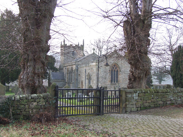
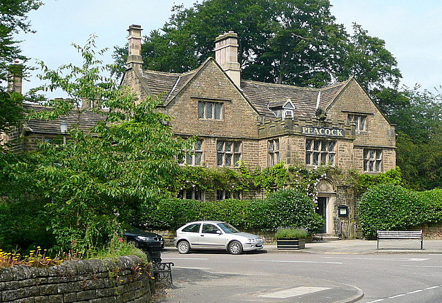
The village of Beeley itself is characterized by its picturesque setting, surrounded by rolling hills and stunning countryside. It is known for its charming stone houses, many of which date back to the 18th and 19th centuries. The village is centered around St. Anne's Church, a Grade II listed building that adds to the area's historic charm.
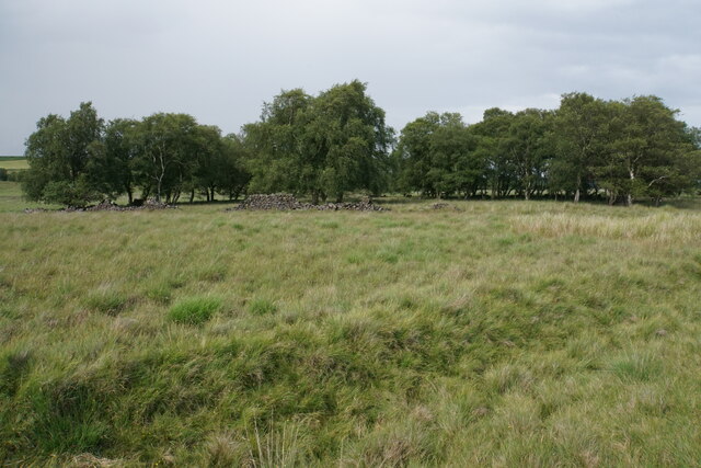
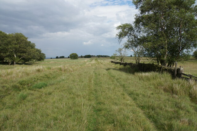
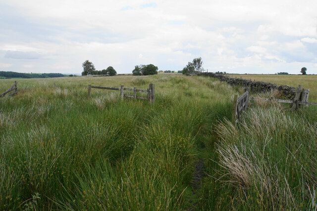
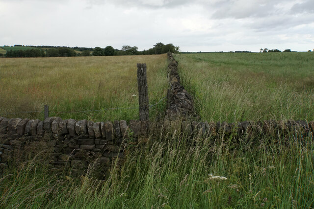
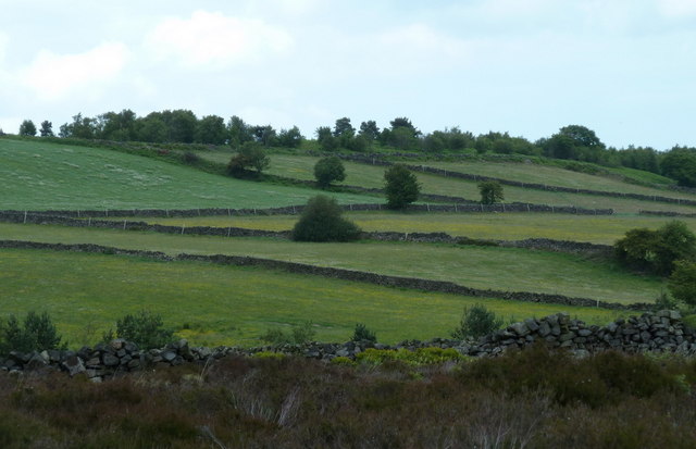
The surrounding landscape offers ample opportunities for outdoor activities, making Beeley a popular destination for walkers and nature enthusiasts. The area is crisscrossed by a network of footpaths and bridleways, providing access to scenic routes and breathtaking viewpoints.
Beeley is also home to the Chatsworth House estate, one of the most famous stately homes in England. The estate covers over 35,000 acres and features a magnificent house, beautiful gardens, and a working farmyard. Visitors to Beeley can explore the grounds, visit the farmyard, and enjoy various events and activities organized by the Chatsworth House estate.
In summary, Beeley is a tranquil and idyllic civil parish nestled within the Peak District National Park. Its stunning natural surroundings, historic buildings, and close proximity to the renowned Chatsworth House make it an attractive destination for visitors seeking a peaceful retreat in the heart of the English countryside.
If you have any feedback on the listing, please let us know in the comments section below.
Beeley Images
Images are sourced within 2km of 53.20637/-1.572495 or Grid Reference SK2867. Thanks to Geograph Open Source API. All images are credited.


Beeley is located at Grid Ref: SK2867 (Lat: 53.20637, Lng: -1.572495)
Administrative County: Derbyshire
District: Derbyshire Dales
Police Authority: Derbyshire
What 3 Words
///fixed.regulator.juror. Near Baslow, Derbyshire
Nearby Locations
Related Wikis

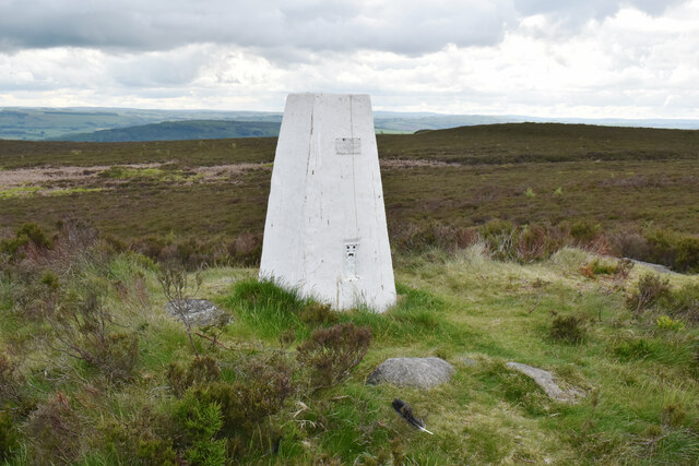
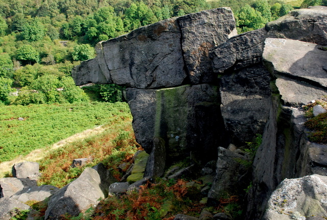
Beeley Moor
Beeley Moor is a small gritstone upland area in the Derbyshire Peak District of central and northern England, near the villages of Beeley and Baslow. Its...

Hob Hurst's House
Hob Hurst's House is a Bronze Age barrow on Beeley Moor near Bakewell in Derbyshire. It is unique in that instead of the normal round shape, Hob Hurst...
Beeley
Beeley is a village and civil parish in northern Derbyshire, England. Located near Bakewell in the Derbyshire Dales, it is situated on the B6012 road,...
Gibbet Moor
Gibbet Moor is a small gritstone upland area in the Derbyshire Peak District of central and northern England, near the village of Baslow. Its highest point...

Chatsworth, Derbyshire
Chatsworth is a civil parish in Derbyshire, England, within the area of the Derbyshire Dales and the Peak District National Park. The population is largely...

Column of the Temple of Poseidon at Chatsworth
The column of the Temple of Poseidon is one of the surviving features from the period of the sixth Duke of Devonshire in the Chatsworth House garden. Surmounted...
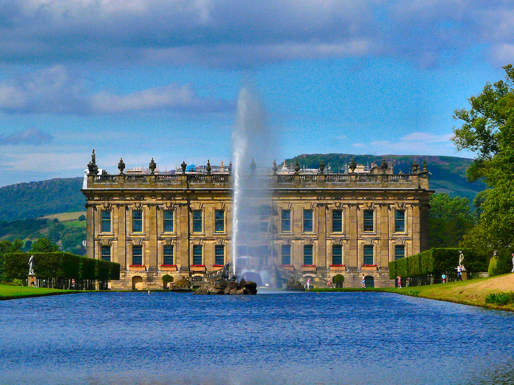
Emperor Fountain
The Emperor Fountain is a 19th-century fountain in the grounds of Chatsworth House, Derbyshire, England. The Canal Pond in which the fountain stands is...
Rowsley
Rowsley () is a village on the A6 road in the English county of Derbyshire. The population as at the 2011 census was 507.It is at the point where the River...
Nearby Amenities
Located within 500m of 53.20637,-1.572495Have you been to Beeley?
Leave your review of Beeley below (or comments, questions and feedback).