Beedon

Civil Parish in Berkshire

England

Beedon

Ashridge Wood OBH The kiosk houses a groundwater observation bore hole (obh) belonging to the Environment Agency.
The concrete track leads to one of their pumping stations.
Ashridge Wood OBH Credit: Des Blenkinsopp

Beedon is a small civil parish located in the county of Berkshire, England. It is situated approximately 6 miles west of the town of Newbury and is surrounded by picturesque countryside and farmland. The parish covers an area of about 1,500 acres and has a population of around 400 residents.

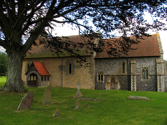
Beedon is a historic village with a rich agricultural heritage, and many of the buildings in the parish date back to the medieval period. The parish church, St. Nicholas, is a Grade II listed building and is a prominent feature of the village.

The village of Beedon is a close-knit community with a strong sense of local pride and community spirit. There are a number of amenities in the village, including a village hall, a primary school, and a pub. The surrounding countryside provides ample opportunities for outdoor activities such as walking, cycling, and horse riding.

Overall, Beedon is a charming rural parish with a peaceful and idyllic setting, making it a popular choice for those looking to escape the hustle and bustle of urban life.

If you have any feedback on the listing, please let us know in the comments section below.
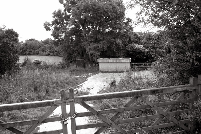
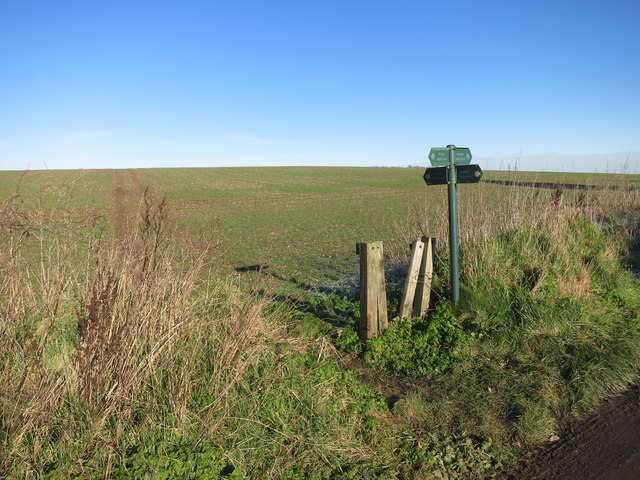
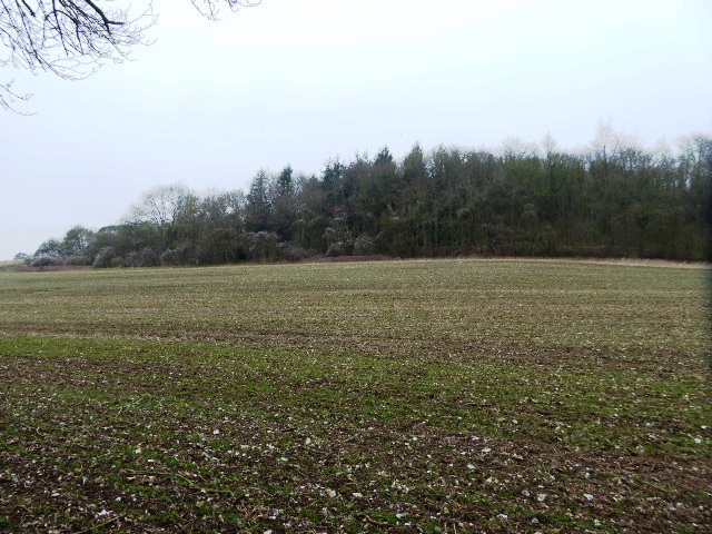
Beedon Images

Images are sourced within 2km of 51.499915/-1.312332 or Grid Reference SU4778. Thanks to Geograph Open Source API. All images are credited.

Ashridge Wood OBH The kiosk houses a groundwater observation bore hole (obh) belonging to the Environment Agency.
The concrete track leads to one of their pumping stations.
Ashridge Wood OBH
The kiosk houses a groundwater observation bore hole (obh) belonging to the Environment Agency. The concrete track leads to one of their pumping stations.
Ashridge Wood Pumping Station A groundwater source owned and operated by the Environment Agency.
Part of a network of similar installations designed to be used for drought alleviation.
Ashridge Wood Pumping Station
A groundwater source owned and operated by the Environment Agency. Part of a network of similar installations designed to be used for drought alleviation.
Beedon War Memorial: late December 2015
St Nicholas, Beedon: churchyard (a)
St Nicholas, Beedon: churchyard (b)
St Nicholas, Beedon: the men who fell
St Nicholas, Beedon: gate memorial
St Nicholas, Beedon: late December 2015
St Nicholas, Beedon: west end
St Nicholas, Beedon: churchyard (c)
St Nicholas, Beedon: churchyard (e)
St Nicholas, Beedon: churchyard (d)
Track through Elephant Grass Large stands of this stuff on both sides of the path on the edge of World's End village..
Grown as bio fuel, you have to wonder what would happen if this lot caught, or was set, on fire so near to people's houses.
Track through Elephant Grass
Large stands of this stuff on both sides of the path on the edge of World's End village.. Grown as bio fuel, you have to wonder what would happen if this lot caught, or was set, on fire so near to people's houses.
Gas pipeline marker by Old Street Lane
Footpath Heading North Looking north, low winter sun, mid day, there's not much you can do about your own shadow.
This path runs parallel to the more heavily used Old Street Lane, the green lane in the trees on the left.
On a fine frosty day, going along here was a sunnier alternative to a shaded and muddy bridleway.
Footpath Heading North
Looking north, low winter sun, mid day, there's not much you can do about your own shadow. This path runs parallel to the more heavily used Old Street Lane, the green lane in the trees on the left. On a fine frosty day, going along here was a sunnier alternative to a shaded and muddy bridleway.
Ebenezer Wesleyan Chapel This is set into a wall on the corner of a short residential street called Chapel Court.
Presumably the chapel was demolished to make way for the new houses and they kept the foundation stone as a memento.
Ebenezer Wesleyan Chapel
This is set into a wall on the corner of a short residential street called Chapel Court. Presumably the chapel was demolished to make way for the new houses and they kept the foundation stone as a memento.
Chapel Court, World's End Just a context shot for the foundation stone shown in <a href="https://www.geograph.org.uk/photo/4799911">SU4876 : Ebenezer Wesleyan Chapel</a>
Chapel Court, World's End
Just a context shot for the foundation stone shown in SU4876 : Ebenezer Wesleyan Chapel
Paths Cross at Beedon Common A footpath crosses a bridleway in a square that is very well off for public rights of way.
Paths Cross at Beedon Common
A footpath crosses a bridleway in a square that is very well off for public rights of way.
Show me another place!

Beedon is located at Grid Ref: SU4778 (Lat: 51.499915, Lng: -1.312332)

Unitary Authority: West Berkshire

Police Authority: Thames Valley

What 3 Words

///tuxedos.tributes.windows. Near Compton, Berkshire

Nearby Locations

Beedon Stanmore

Related Wikis

Stanmore, Berkshire

Stanmore is a hamlet in Berkshire, England. In the 2011 Census it was included in the civil parish of Beedon. It is situated west of the A34, 7 miles north...

World's End, Berkshire

World's End is a hamlet in Berkshire, England. It is in the district of West Berkshire, near the A34 north of Newbury. To the north is the village of Beedon...

Beedon

Beedon is a village and civil parish about 6+1⁄2 miles (10.5 km) north of Newbury in West Berkshire, England. == Geography == The village has outlying...

Ashridge Wood

Ashridge Wood is a 15.9-hectare (39-acre) biological Site of Special Scientific Interest south-west of Compton in Berkshire. It is in the North Wessex...

Nearby Amenities

Located within 500m of 51.499915,-1.312332
Beedon
Place: hamlet
Source: NPE
Lat/Long: 51.5003489/-1.3063351
The data included in this document is from www.openstreetmap.org. The data is made available under ODbL.

Have you been to Beedon?

Leave your review of Beedon below (or comments, questions and feedback).