Beddingham
Civil Parish in Sussex Lewes
England
Beddingham
Beddingham is a civil parish located in the county of Sussex, England. It is situated approximately 7 miles northeast of the city of Brighton and Hove, and falls within the administrative district of Lewes. The parish covers an area of around 5.5 square kilometers and is predominantly rural in nature.
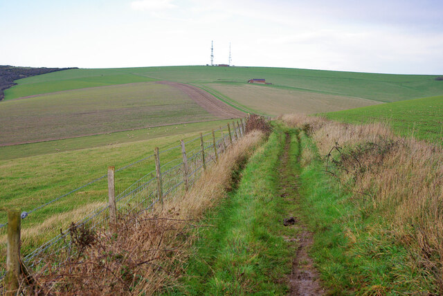
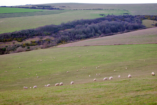
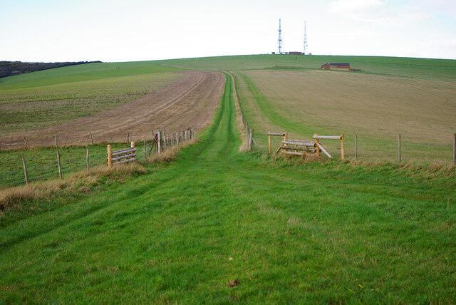
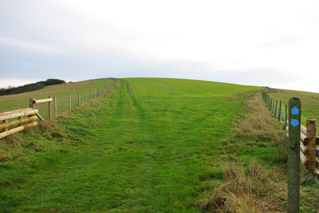
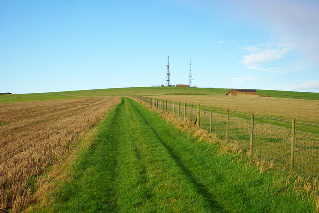
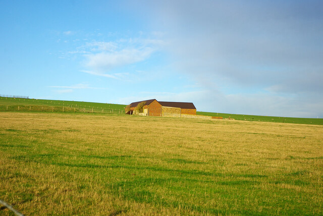
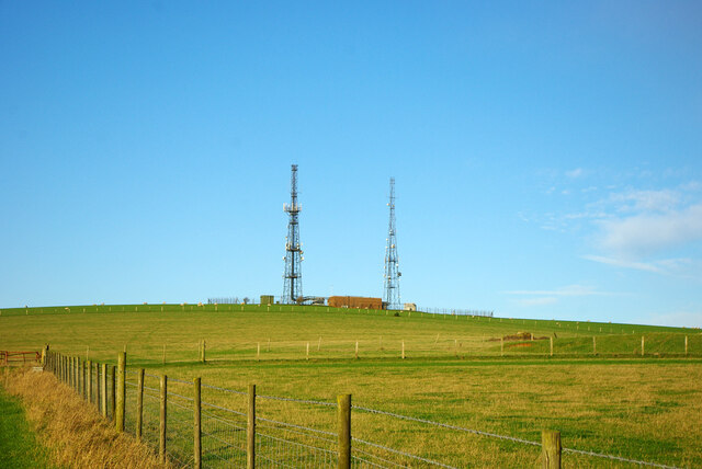
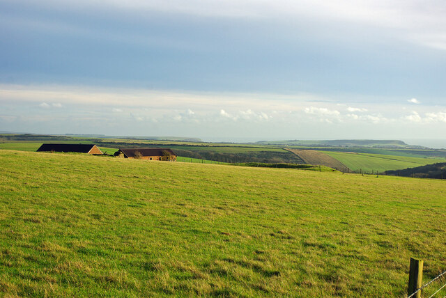
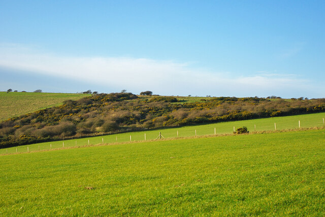
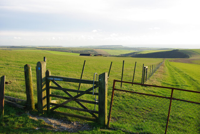
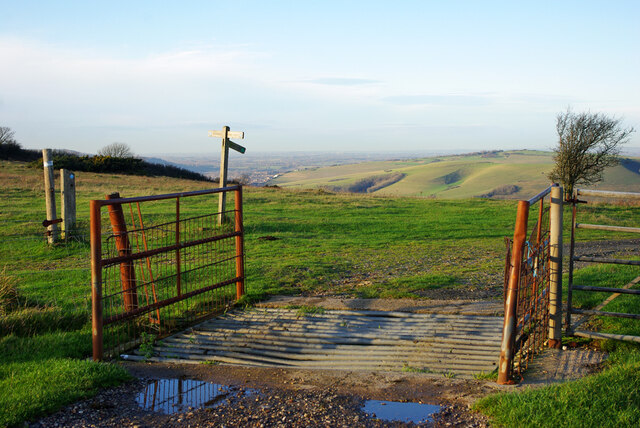
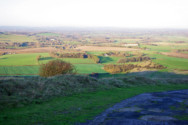
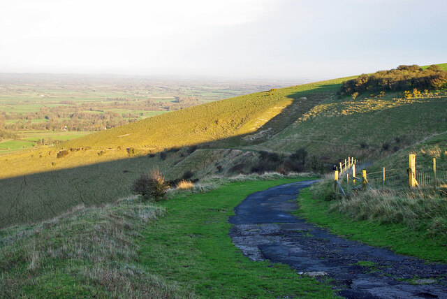
The village of Beddingham itself is small and has a population of around 100 people. It is characterized by its picturesque countryside setting, with rolling hills, meadows, and farmland surrounding the village. The area is known for its natural beauty and is popular with walkers and nature enthusiasts.
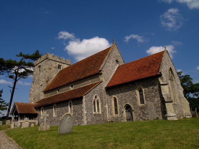
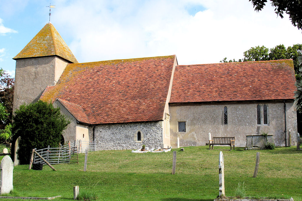
The parish is home to a number of historic buildings, including the 12th-century St. Andrew's Church, which is a Grade I listed building. The church is notable for its Norman architecture and is a significant cultural and historical landmark within the area.
Beddingham is well-connected to nearby towns and cities, with the A26 road passing through the parish. This provides easy access to the major transportation links in the region. The village is also served by a local bus service, which connects residents to neighboring areas.
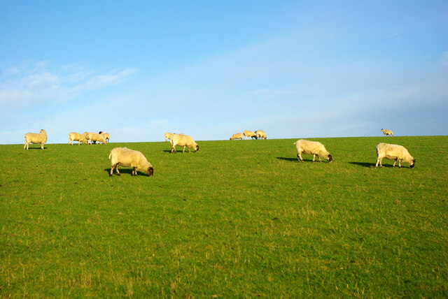
The economy of Beddingham is primarily based on agriculture, with farming playing a significant role in the local community. The area is known for its arable farming and livestock production. Additionally, tourism also contributes to the local economy, with visitors attracted to the area's natural beauty and historical sites.
In conclusion, Beddingham is a charming rural village situated in the heart of Sussex. It offers a peaceful and idyllic setting, with a rich history and strong agricultural heritage.
If you have any feedback on the listing, please let us know in the comments section below.
Beddingham Images
Images are sourced within 2km of 50.838435/0.057393 or Grid Reference TQ4406. Thanks to Geograph Open Source API. All images are credited.


Beddingham is located at Grid Ref: TQ4406 (Lat: 50.838435, Lng: 0.057393)
Administrative County: East Sussex
District: Lewes
Police Authority: Sussex
What 3 Words
///green.couches.afternoon. Near Newhaven, East Sussex
Nearby Locations
Related Wikis

Asham Quarry
Asham Quarry is a 2.6-hectare (6.4-acre) geological Site of Special Scientific Interest north of Newhaven in East Sussex. It is a Geological Conservation...
Beddingham
Beddingham is an English village and civil parish in the Lewes district of East Sussex, at the junction between the London–Newhaven (A26) and south coast...

Glynde Reach
Glynde Reach is a river in East Sussex, England and tributary of the River Ouse. The main channel is fed from sources near Laughton, Rushy Green on the...

Lewes and Laughton Levels
The Lewes and Laughton Levels are an area of low-lying land bordering the River Ouse near Lewes and the Glynde Reach near Laughton in East Sussex, England...
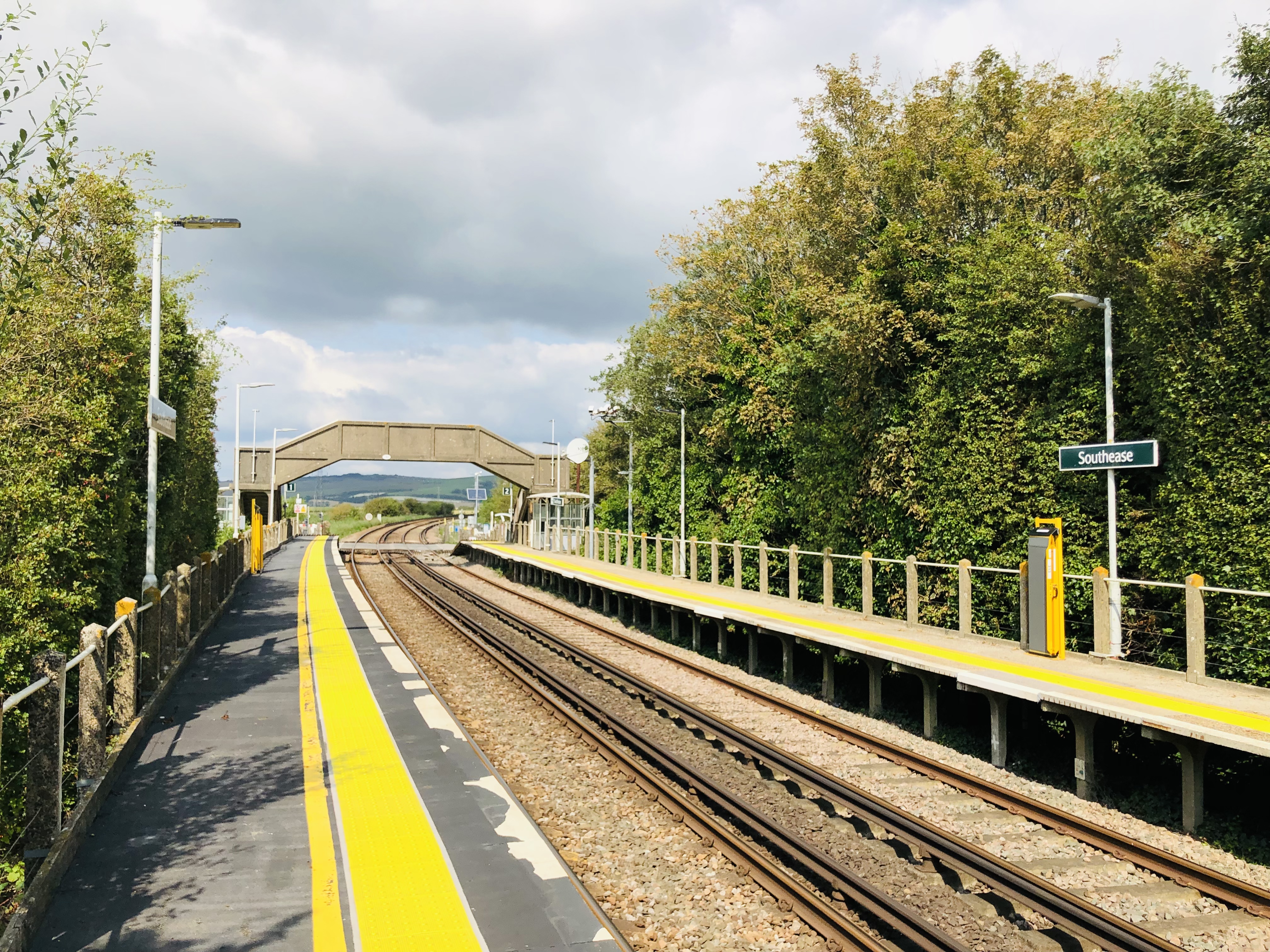
Southease railway station
Southease railway station is located 0.5 miles (800 m) east of the village of Southease in East Sussex, England. It is on the Seaford branch of the East...
Tarring Neville
Tarring Neville is a village and civil parish in the Lewes District of East Sussex, England. The village is located five miles (8 km) south of Lewes, on...

Firle Escarpment
Firle Escarpment is a 302.1-hectare (747-acre) biological Site of Special Scientific Interest north of Seaford in East Sussex.This is a long stretch of...
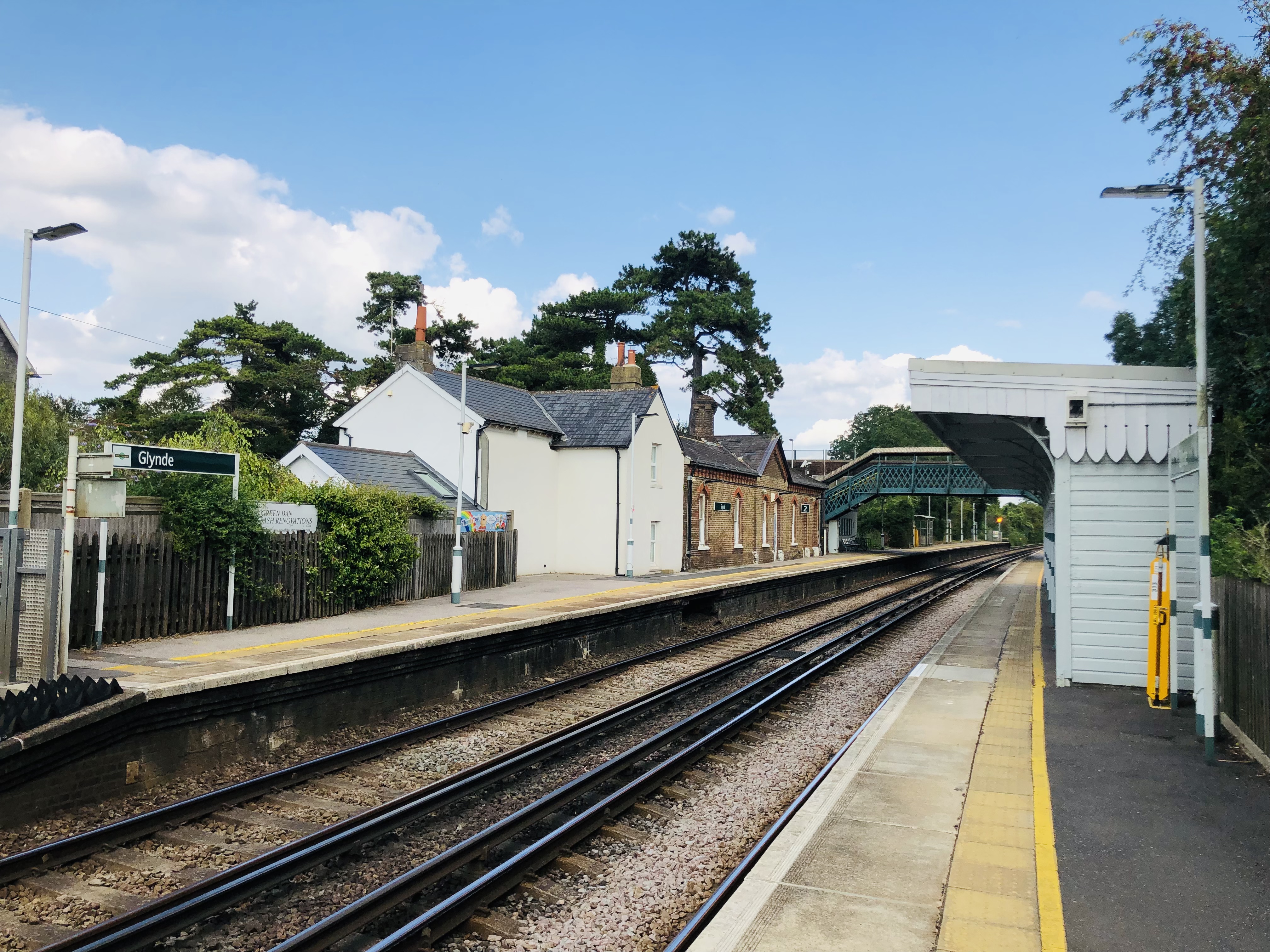
Glynde railway station
Glynde railway station serves Glynde in East Sussex. It is 53 miles 11 chains (85.5 km) from London Bridge, on the East Coastway Line and train services...
Nearby Amenities
Located within 500m of 50.838435,0.057393Have you been to Beddingham?
Leave your review of Beddingham below (or comments, questions and feedback).