Batsford
Civil Parish in Gloucestershire Cotswold
England
Batsford

Batsford is a civil parish located in the Cotswold District of Gloucestershire, England. Situated approximately 3 miles northwest of the market town of Moreton-in-Marsh, the parish covers an area of around 1,650 acres and has a population of about 200 residents.
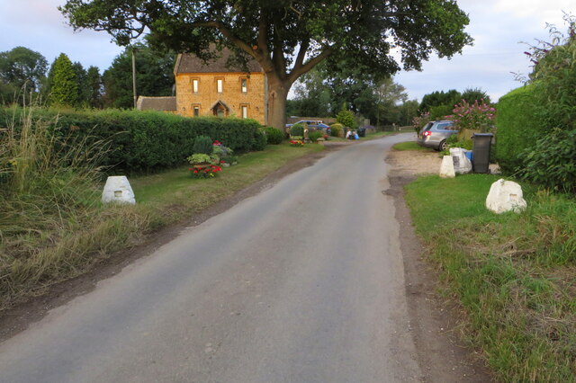
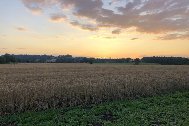
The village of Batsford itself is small and picturesque, characterized by charming stone cottages and a peaceful, rural atmosphere. It is known for its beautiful countryside, which includes rolling hills, fields, and woodlands, making it an ideal destination for nature lovers and outdoor enthusiasts. The area is also renowned for its stunning views of the surrounding Cotswold landscape.
Batsford is perhaps best known for being home to Batsford Arboretum and Garden Centre. Established in the late 19th century, this 56-acre arboretum boasts an impressive collection of trees, shrubs, and plants from around the world. Visitors can explore numerous themed areas, including the Japanese Garden, the Victorian Walk, and the Himalayan Glade, and enjoy the peaceful ambiance of this horticultural gem.
The parish has limited amenities, with no shops or schools within its boundaries. However, nearby towns like Moreton-in-Marsh offer a range of services, including shops, pubs, and schools.
Overall, Batsford is a tranquil and idyllic rural parish, offering a peaceful retreat from the hustle and bustle of nearby towns. Its natural beauty, coupled with the renowned arboretum, makes it an attractive destination for both locals and tourists alike.
If you have any feedback on the listing, please let us know in the comments section below.
Batsford Images
Images are sourced within 2km of 51.999118/-1.707917 or Grid Reference SP2033. Thanks to Geograph Open Source API. All images are credited.


Batsford is located at Grid Ref: SP2033 (Lat: 51.999118, Lng: -1.707917)
Administrative County: Gloucestershire
District: Cotswold
Police Authority: Gloucestershire
What 3 Words
///loudly.neckline.fracture. Near Moreton in Marsh, Gloucestershire
Nearby Locations
Related Wikis

Batsford Road
Batsford Road, sometimes known as Moreton-in-Marsh Cricket Club Ground, is a cricket ground in Moreton-in-Marsh, Gloucestershire. The ground is located...

Lower Lemington
Lower Lemington is a small village and former civil parish, now in the parish of Batsford, in the Cotswold district of Gloucestershire, England. The village...

Dorn, Gloucestershire
Dorn is a hamlet in the Cotswold district of Gloucestershire, England. The hamlet is about 1 mile north of Moreton-in-Marsh. Dorn lies on the west side...
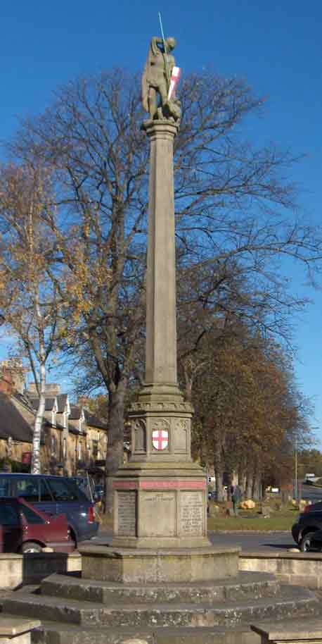
Moreton-in-Marsh and Batsford War Memorial
Moreton-in-Marsh and Batsford War Memorial stands in Moreton-in-Marsh, Gloucestershire, England, and is a memorial to those of Moreton and Batsford killed...
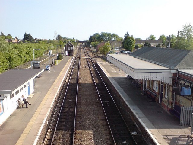
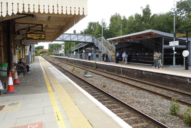
Moreton-in-Marsh railway station
Moreton-in-Marsh railway station serves the town of Moreton-in-Marsh in Gloucestershire, England; it is on the Cotswold Line between Kingham and Honeybourne...
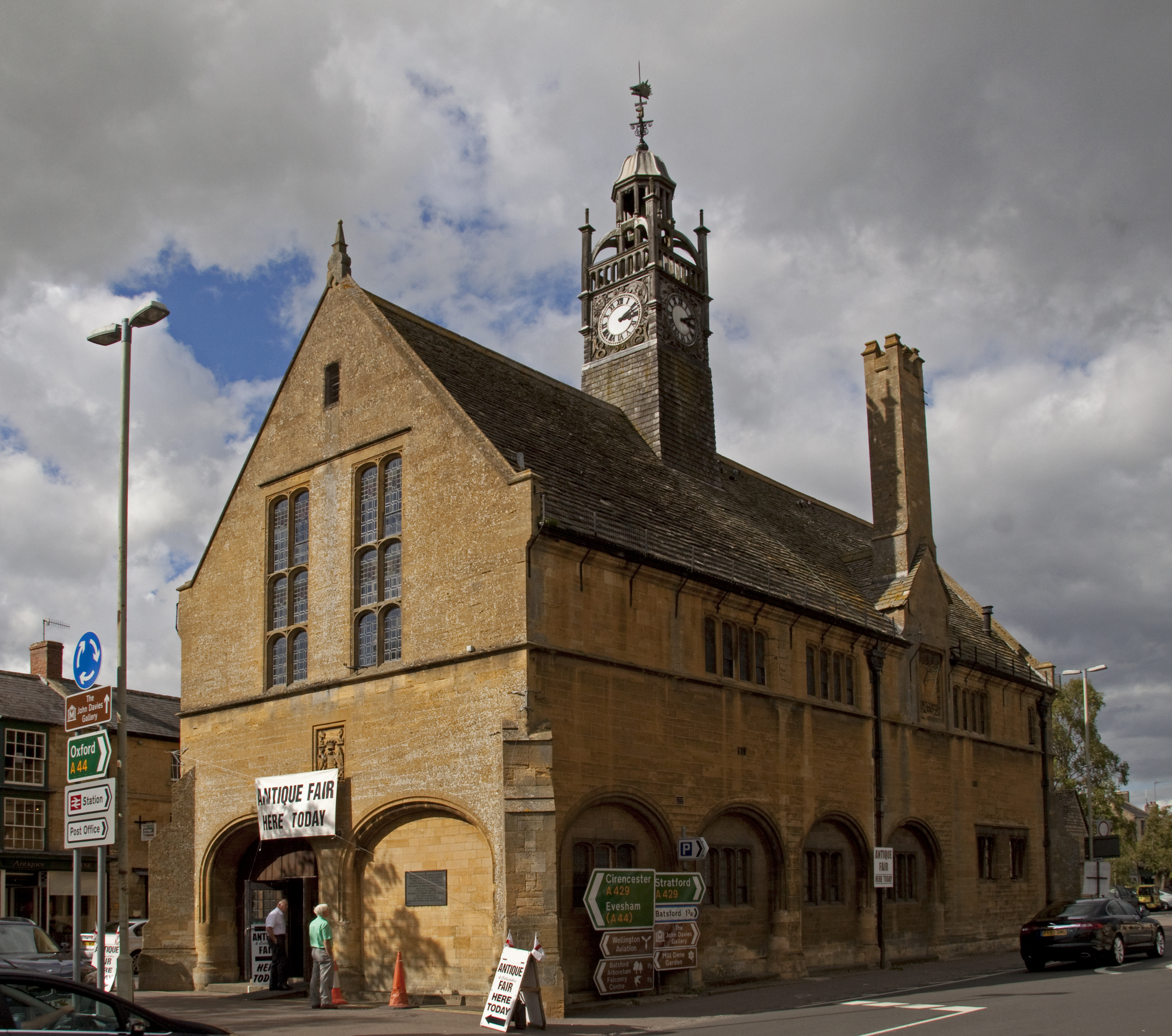
Redesdale Hall
Redesdale Hall, also referred to as Moreton-in-Marsh Town Hall, is a municipal building in the High Street, Moreton-in-Marsh, Gloucestershire, England...

North Cotswold Rural District
North Cotswold was, from 1935 to 1974, a rural district in the administrative county of Gloucestershire, England. == Formation == Under the Local Government...
Moreton-in-Marsh
Moreton-in-Marsh is a market town in the Evenlode Valley, within the Cotswolds district and Area of Outstanding Natural Beauty in Gloucestershire, England...
Nearby Amenities
Located within 500m of 51.999118,-1.707917Have you been to Batsford?
Leave your review of Batsford below (or comments, questions and feedback).