Batheaston
Civil Parish in Somerset
England
Batheaston

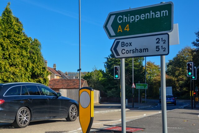
Batheaston is a civil parish located in the county of Somerset, England. Situated on the eastern outskirts of the historic city of Bath, it is approximately 4 miles away from the city center. The parish is bordered by the River Avon to the west and the A46 road to the east.
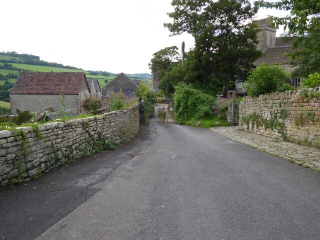
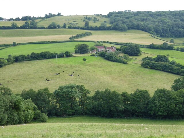
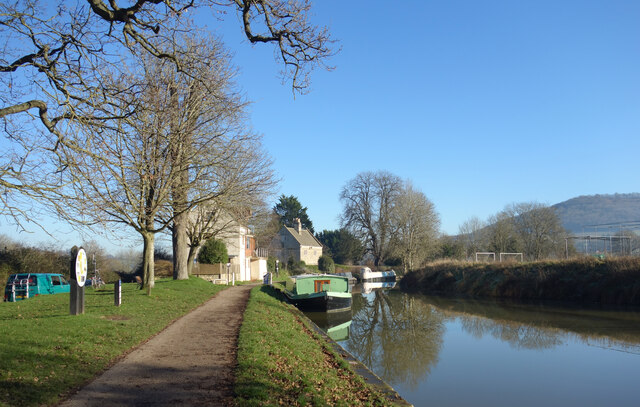
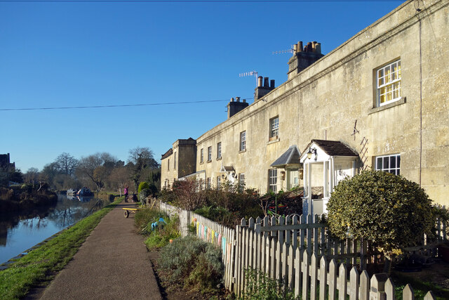
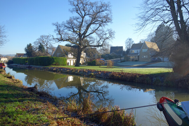
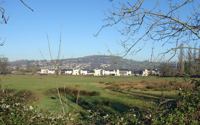
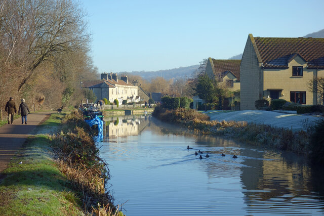
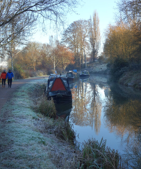
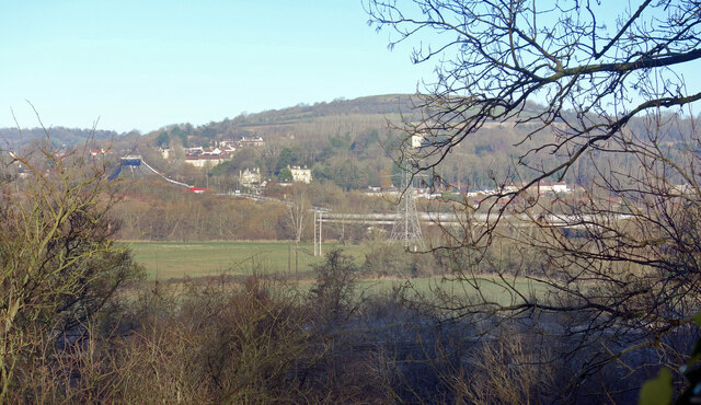
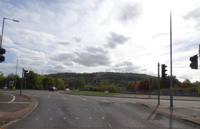
The village of Batheaston is known for its picturesque setting, nestled in the beautiful Avon Valley. It is surrounded by rolling hills and lush countryside, offering residents and visitors stunning views and ample opportunities for outdoor activities such as walking, hiking, and cycling.
The village itself has a rich history, with evidence of human settlement dating back to prehistoric times. It was once a thriving industrial center, known for its stone quarries and mills. Today, remnants of this industrial past can still be seen in the old buildings and structures that dot the landscape.
Batheaston is a vibrant community with a range of amenities and services. It has a primary school, a church, a village hall, and several shops and businesses. The village is well-connected to Bath and other nearby towns through a reliable public transport network.
The parish is also home to several notable landmarks and attractions. One of the most prominent is the Solsbury Hill, an Iron Age hillfort that offers panoramic views of the surrounding countryside. Batheaston is also close to the University of Bath, making it a popular residential area for students and staff.
In summary, Batheaston is a charming civil parish in Somerset, offering a blend of natural beauty, historical significance, and modern amenities.
If you have any feedback on the listing, please let us know in the comments section below.
Batheaston Images
Images are sourced within 2km of 51.409863/-2.331355 or Grid Reference ST7767. Thanks to Geograph Open Source API. All images are credited.


Batheaston is located at Grid Ref: ST7767 (Lat: 51.409863, Lng: -2.331355)
Unitary Authority: Bath and North East Somerset
Police Authority: Avon and Somerset
What 3 Words
///wiser.bossy.prom. Near Bathford, Somerset
Nearby Locations
Related Wikis

Solsbury Hill
Little Solsbury Hill (more commonly known as Solsbury Hill) is a small flat-topped hill and the site of an Iron Age hill fort, above the village of Batheaston...

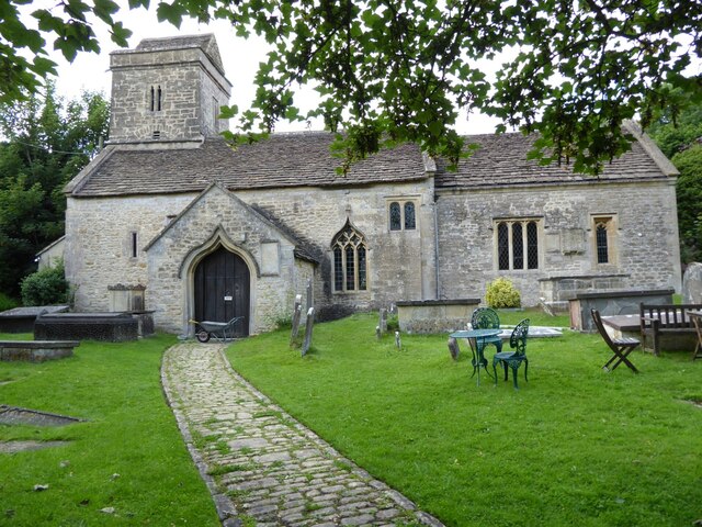
Church of St John The Baptist, Batheaston
The Church of St John the Baptist in Northend, Batheaston within the English county of Somerset was built in the 12th century and remodelled in the 15th...

Eagle House (suffragette's rest)
Eagle House is a Grade II* listed building in Batheaston, Somerset, near Bath. Before World War I the house had extensive grounds. When Emily Blathwayt...

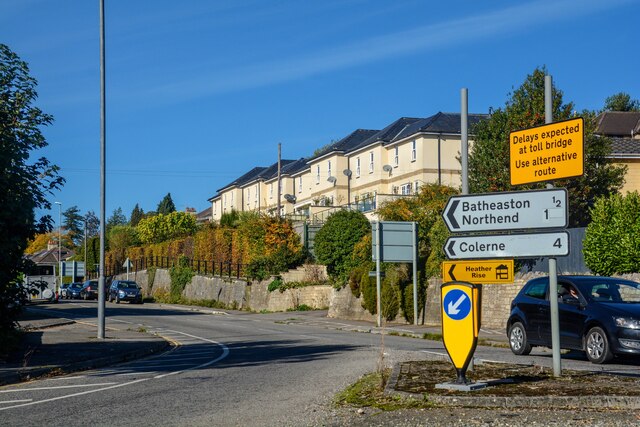
Bathampton Toll Bridge
Bathampton Toll Bridge is an arch bridge in England, carrying a minor road across the River Avon near Bathampton, to the east of Bath. It is a Grade II...
Nearby Amenities
Located within 500m of 51.409863,-2.331355Have you been to Batheaston?
Leave your review of Batheaston below (or comments, questions and feedback).