Barton St. David

Civil Parish in Somerset South Somerset

England

Barton St. David

Road heading west through Keinton Mandeville
Road heading west through Keinton Mandeville Credit: Rob Purvis

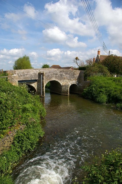
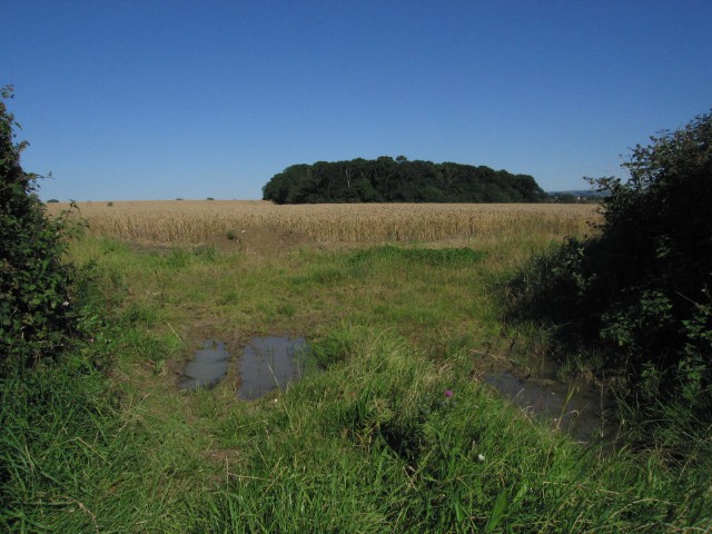
Barton St. David is a civil parish located in the county of Somerset, England. Situated approximately 5 miles southeast of the town of Somerton, it covers an area of around 1,000 acres. The parish is part of the South Somerset district and falls within the parliamentary constituency of Somerton and Frome.

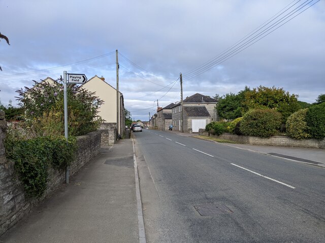
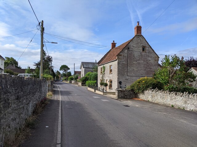
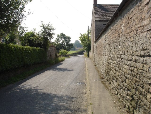
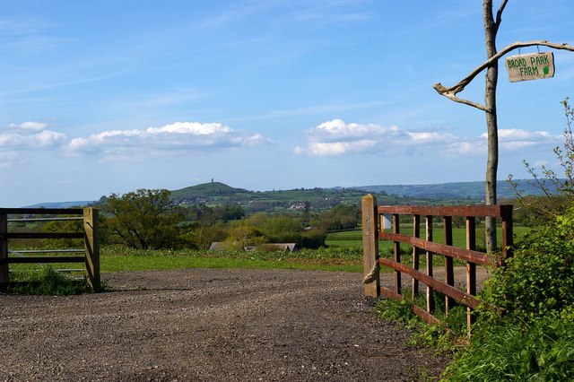
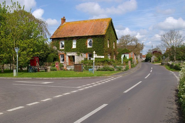
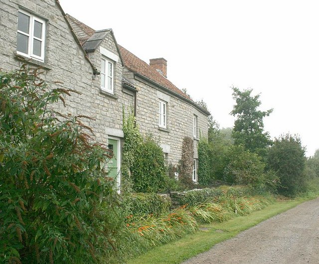
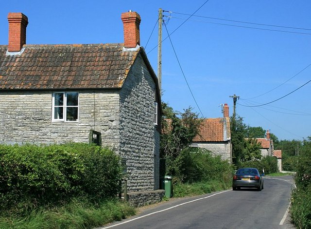
The village of Barton St. David is charming and picturesque, with a population of around 400 residents. It is surrounded by beautiful countryside, offering stunning views and a peaceful atmosphere. The village is primarily residential, with a mix of historic cottages and modern houses.

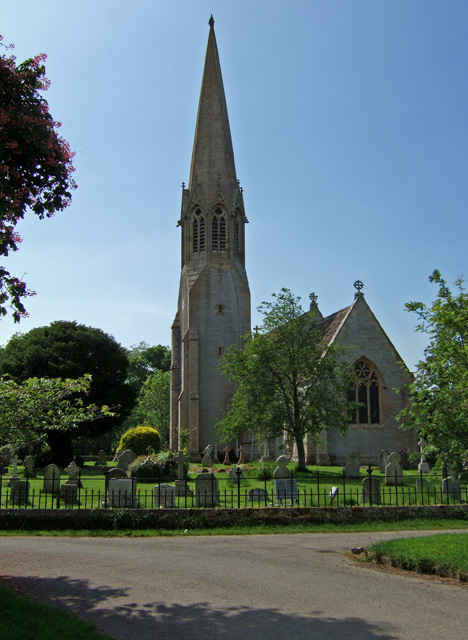
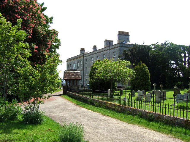
One of the notable features of Barton St. David is its 13th-century church, dedicated to St. David. This Grade II listed building is an important part of the village's history and provides a focal point for the local community. The church hosts regular services and events throughout the year.

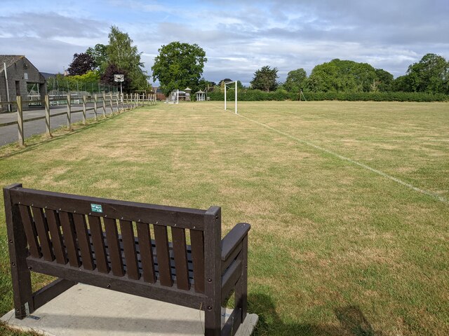
In terms of amenities, Barton St. David has a village hall which serves as a hub for various community activities and gatherings. Additionally, there is a primary school located in the neighboring village of Keinton Mandeville, providing education for children in the area.

The village is well-connected, with good transport links to nearby towns and cities. It is situated close to the A37 road, which connects to major routes, making it easily accessible for commuters and visitors.

Overall, Barton St. David is a charming and tranquil village, offering a close-knit community and a picturesque setting for its residents.

If you have any feedback on the listing, please let us know in the comments section below.

Barton St. David Images

Images are sourced within 2km of 51.090304/-2.656825 or Grid Reference ST5432. Thanks to Geograph Open Source API. All images are credited.

Road heading west through Keinton Mandeville
A nice bench for watching the sport in Keinton Mandeville
Queen Street in Keinton Mandeville, looking south
Looking south down Main Street, Barton St. David Taken opposite 'Avalon' the house where I grew up, looking south down Main Street alongside Stocks Farm.
Looking south down Main Street, Barton St. David
Taken opposite 'Avalon' the house where I grew up, looking south down Main Street alongside Stocks Farm.
Broad Park Farm Gate This is the entrance to Broad Park Farm. Between Barton St David and Butleigh Glastonbury Tor Can be seen in the background
Broad Park Farm Gate
This is the entrance to Broad Park Farm. Between Barton St David and Butleigh Glastonbury Tor Can be seen in the background
Tootle Bridge, Barton St David Tootle Bridge is on the River Brue, the white water is from and old  mill stream that has its confluence at this point.
Tootle Bridge, Barton St David
Tootle Bridge is on the River Brue, the white water is from and old mill stream that has its confluence at this point.
Coronation Seat Barton St David This is Barton St David at the junction of High Lane, Church St, and Mill Lane. The seat was placed there to commemorate the coronation in 1953
Coronation Seat Barton St David
This is Barton St David at the junction of High Lane, Church St, and Mill Lane. The seat was placed there to commemorate the coronation in 1953
Church Street  Barton St David The 13th century parish church of St David gives Barton its double-barrelled name. This is Church Street.
Church Street Barton St David
The 13th century parish church of St David gives Barton its double-barrelled name. This is Church Street.
Lakeview Quarry This quarry in Kenton Mandeville specialises in paving and walling stone.
Lakeview Quarry
This quarry in Kenton Mandeville specialises in paving and walling stone.
Lake View Sedimentary A close up of the product of <a href="https://www.geograph.org.uk/photo/165761">ST5430 : Lakeview Quarry</a> no doubting it is sedimentary rock!!
Lake View Sedimentary
A close up of the product of ST5430 : Lakeview Quarry no doubting it is sedimentary rock!!
The Approach to Kingweston Church The view is from the public footpath, which extends in a south easterly direction from the Butleigh road. Kingweston House is also just visible behind the church.
The Approach to Kingweston Church
The view is from the public footpath, which extends in a south easterly direction from the Butleigh road. Kingweston House is also just visible behind the church.
All Saints Church - Kingweston A Victorian church by C. E. Giles in 1855.
All Saints Church - Kingweston
A Victorian church by C. E. Giles in 1855.
Kingweston House Late Georgian house, Grade II listed, built on the site of a Tudor house. Now a part of Millfield School.
Kingweston House
Late Georgian house, Grade II listed, built on the site of a Tudor house. Now a part of Millfield School.
A shady junction A huge tree at the road junction near Combe Hill House, seen over the road with a post box in its wall.
A shady junction
A huge tree at the road junction near Combe Hill House, seen over the road with a post box in its wall.
Cornfield Luns Hill Wood viewed over a field of ripened corn off the B3153. Rainwater remains in the gateway from the heavy rains of July 2007. A quintessentional view of Southern England.
Cornfield
Luns Hill Wood viewed over a field of ripened corn off the B3153. Rainwater remains in the gateway from the heavy rains of July 2007. A quintessentional view of Southern England.
2007 : Cottages at Gosling Street At the end of a lane from Barton St.David on low lying land, the main business here seems to be sheep and cattle farming.
2007 : Cottages at Gosling Street
At the end of a lane from Barton St.David on low lying land, the main business here seems to be sheep and cattle farming.
2007 : Traffic of the Area At Gosling Street.  Barton Lower Farm is about 150 yards behind the camera position.
2007 : Traffic of the Area
At Gosling Street. Barton Lower Farm is about 150 yards behind the camera position.
2007 : Rush Hour at Catsham On a quiet road between Barton St. David and Baltonsborough.
2007 : Rush Hour at Catsham
On a quiet road between Barton St. David and Baltonsborough.
Show me another place!

Barton St. David is located at Grid Ref: ST5432 (Lat: 51.090304, Lng: -2.656825)

Administrative County: Somerset

District: South Somerset

Police Authority: Avon and Somerset

What 3 Words

///retaliate.saves.stopwatch. Near Street, Somerset

Related Wikis

Barton St David

Barton St David or commonly referred to as Barton is a village and civil parish on the River Brue adjacent to Keinton Mandeville at the foot of Combe Hill...

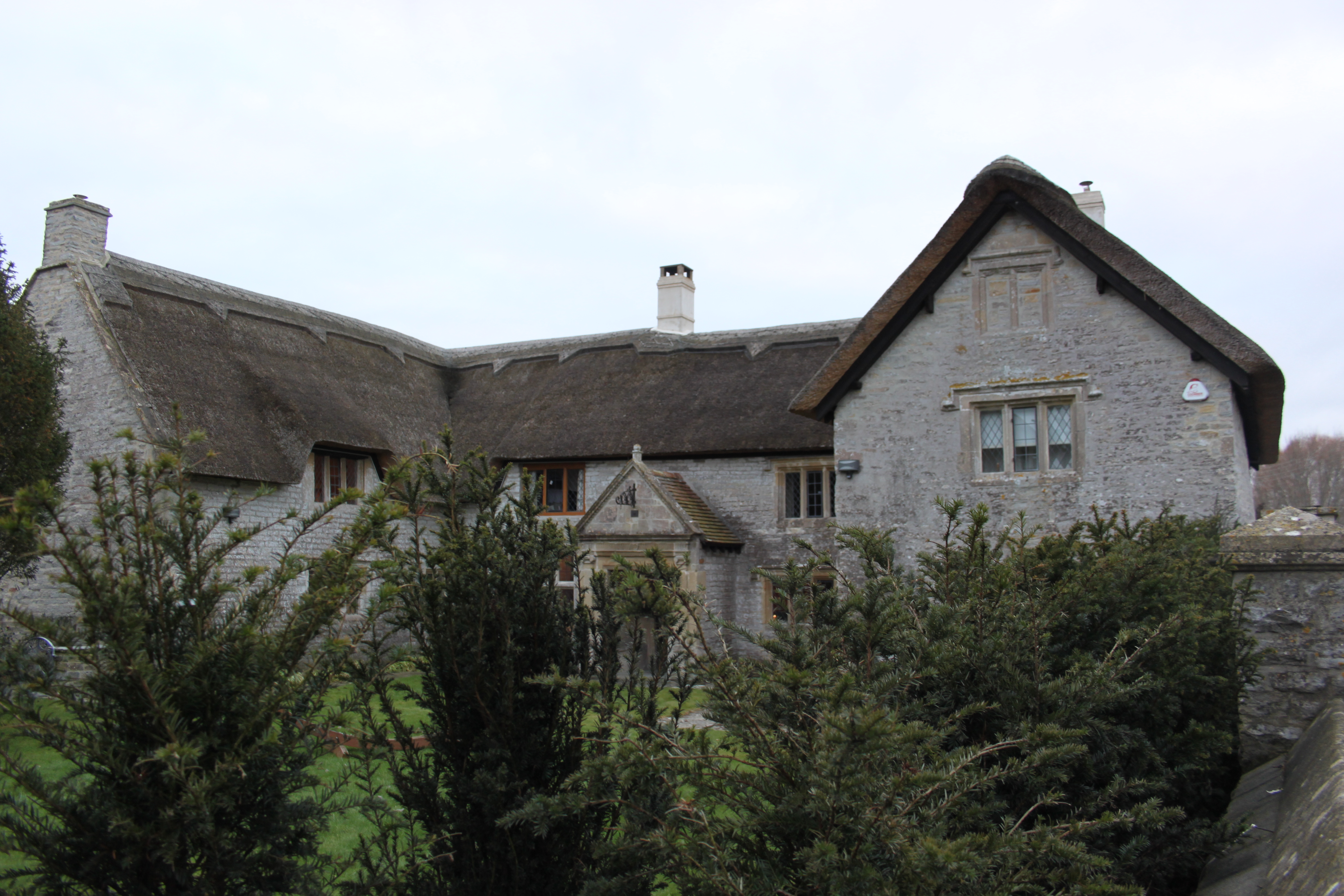
Church of St David, Barton St David

The Anglican Church of St David in Barton St David, Somerset, England, was built in the 12th to 15th centuries. It is a Grade II* listed building. ��2...

Butleigh

Butleigh is a small village and civil parish, located in Somerset. The nearest village to it is Barton St David, and it is located a short distance from...

Church of All Saints, Kingweston

The Anglican Church of All Saints in Kingweston, Somerset, England was rebuilt between 1852 and 1855 by Charles Edmund Giles. It is a Grade II* listed...

Kingweston

Kingweston is a village and civil parish in Somerset, England, situated on Combe Hill, 3 miles (4.8 km) north east of Somerton in the South Somerset district...

Keinton Mandeville

Keinton Mandeville, commonly referred to as Keinton, is a village and civil parish in Somerset, England, situated on top of Combe Hill, 6 miles (9.7 km...

Kingweston Meadows

Kingweston Meadows (grid reference ST540304) is an 11.5 hectare (28.4 acre) biological Site of Special Scientific Interest at Kingweston in Somerset, notified...

The Gatehouse, Baltonsborough

The Gatehouse in Baltonsborough, Somerset, England, is a thatched house dating from the 16th century. It has been designated a Grade I listed building...

Nearby Amenities

Located within 500m of 51.090304,-2.656825
Pub
Barton Inn
Lat/Long: 51.0864519/-2.657347
Silver Street
Place: hamlet
Source: OS7
Lat/Long: 51.0910801/-2.6582048
Barrier: stile
Lat/Long: 51.0916323/-2.6621884
Barrier: stile
Lat/Long: 51.0922284/-2.6584991
Breadstone Farm
Place: locality
Lat/Long: 51.0906485/-2.6591076
Manor Barns
Place: farm
Lat/Long: 51.0886208/-2.6547764
Health and Beauty Salon
Shop: beauty
Shop 1: hairdresser
Lat/Long: 51.0883664/-2.6550421
The data included in this document is from www.openstreetmap.org. The data is made available under ODbL.

Have you been to Barton St. David?

Leave your review of Barton St. David below (or comments, questions and feedback).