Barmpton
Civil Parish in Durham
England
Barmpton
Barmpton is a civil parish located in County Durham, in the northeast of England. It is situated approximately 3 miles south of the city of Durham and lies within the ceremonial county boundaries of Durham. The parish covers an area of around 4 square miles and has a population of approximately 200 people.
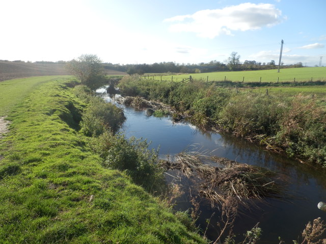
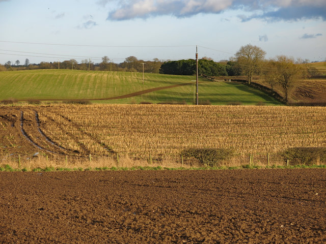
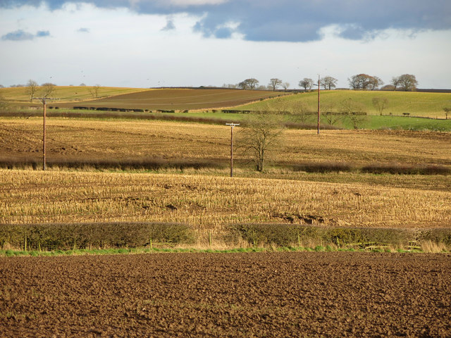
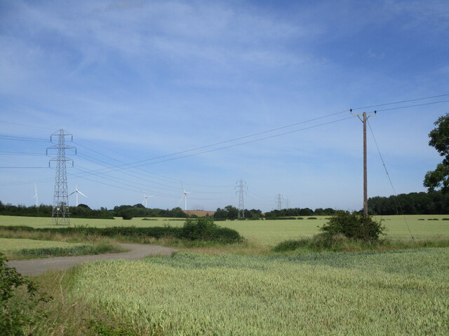
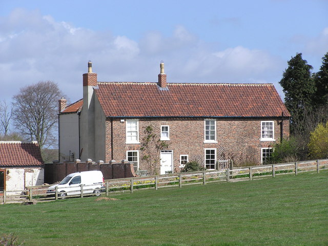
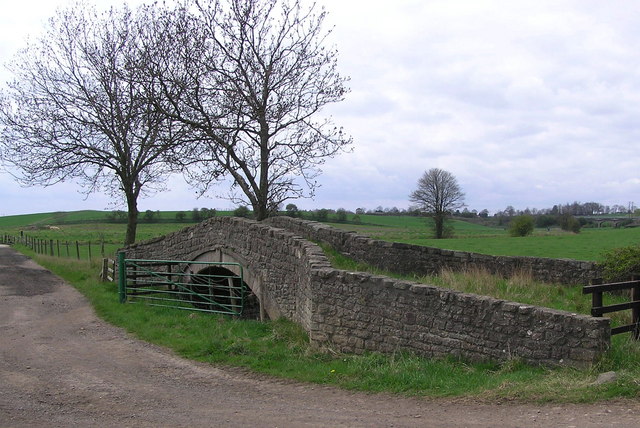
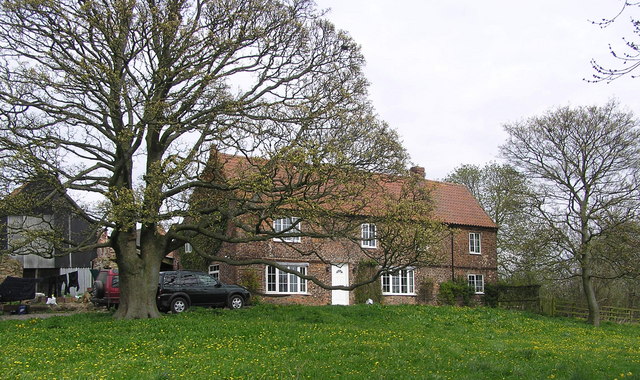
Barmpton is a predominantly rural area characterized by its picturesque countryside, including rolling hills, open fields, and meandering streams. The landscape is dotted with several small farms and scattered residential properties. The parish is known for its tranquil and idyllic setting, making it an attractive place for those seeking a peaceful and rural lifestyle.
Historically, Barmpton was primarily an agricultural community, with farming being the main occupation for its residents. However, in recent years, the area has seen some diversification, with an increasing number of residents commuting to nearby towns and cities for work.
The parish is well-connected to surrounding areas, with good transport links to Durham and other nearby towns. The A1(M) motorway runs close to Barmpton, providing easy access for commuters and visitors alike. The village itself does not have a vast range of amenities, with limited services available. However, the city of Durham, with its wider range of facilities, is just a short drive away, offering residents access to shopping, healthcare, and educational facilities.
Overall, Barmpton offers a peaceful and scenic rural setting, coupled with convenient access to nearby towns and cities, making it an appealing place to live for those seeking a quiet countryside lifestyle.
If you have any feedback on the listing, please let us know in the comments section below.
Barmpton Images
Images are sourced within 2km of 54.560948/-1.508869 or Grid Reference NZ3118. Thanks to Geograph Open Source API. All images are credited.


Barmpton is located at Grid Ref: NZ3118 (Lat: 54.560948, Lng: -1.508869)
Unitary Authority: Darlington
Police Authority: Durham
What 3 Words
///loaded.former.hello. Near Coatham Mundeville, Co. Durham
Nearby Locations
Related Wikis

Barmpton
Barmpton is a small village and civil parish in the borough of Darlington and the ceremonial county of County Durham, England. The population taken at...

Lingfield, County Durham
Whinfield is a place in County Durham, England. It is situated to the east of Darlington. The population of this Darlington ward taken at the 2011 census...
Whinfield
Whinfield is a suburb of Darlington, in the Borough of Darlington in County Durham, England. It is situated to the north of Darlington. == Transport... ==
Newton Ketton
Newton Ketton is a small village in County Durham, in England. It is situated to the north of Darlington. == External links == Media related to Newton...
Great Burdon
Great Burdon is a village in the borough of Darlington and the ceremonial county of County Durham, England. It is situated to the north-east of Darlington...

Haughton-le-Skerne
Haughton-le-Skerne is a village in the borough of Darlington in the ceremonial county of County Durham, England. It is situated in the north east of Darlington...
Newton Ketton Meadow
Newton Ketton Meadow is a Site of Special Scientific Interest in the Darlington district of Durham, England. It is situated alongside a small tributary...
Haughton Academy
Haughton Academy (formerly Haughton Community School) is a coeducational secondary school located in the Haughton-le-Skerne area of Darlington, County...
Nearby Amenities
Located within 500m of 54.560948,-1.508869Have you been to Barmpton?
Leave your review of Barmpton below (or comments, questions and feedback).