Brimington Common
Settlement in Derbyshire Chesterfield
England
Brimington Common

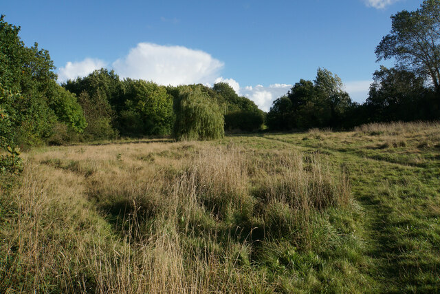
Brimington Common is a picturesque area located in Derbyshire, England. Covering an area of approximately 40 hectares, it is a designated Site of Special Scientific Interest (SSSI). The common is situated just south of the village of Brimington, near the bustling town of Chesterfield.
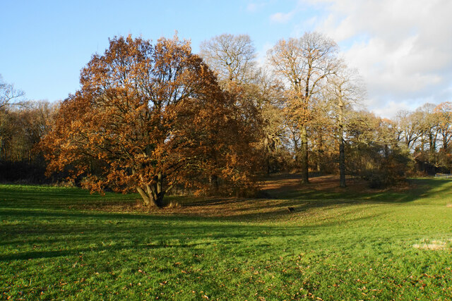
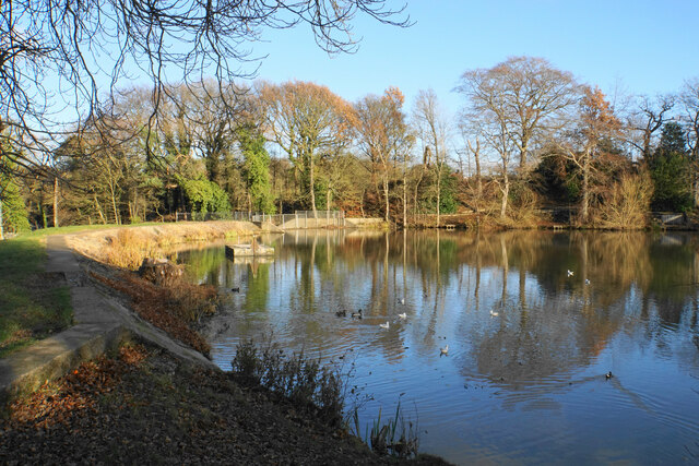
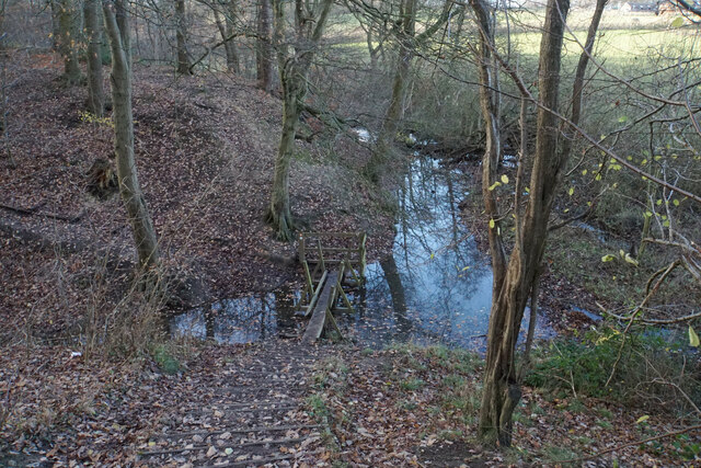
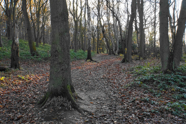
The landscape of Brimington Common is primarily characterized by a mix of wetland habitats and grassland areas. It is renowned for its diverse flora and fauna, making it an important conservation site in the region. The wetland areas are home to a variety of plant species, including water horsetail, marsh marigold, and purple loosestrife. These wetlands also provide a habitat for several species of amphibians, such as common frogs and smooth newts.
The grassland areas of Brimington Common are rich in wildflowers, attracting numerous insects, including butterflies and bees. This biodiversity makes it an ideal location for nature enthusiasts and birdwatchers, as the common is frequented by a range of bird species, including skylarks, meadow pipits, and yellowhammers.
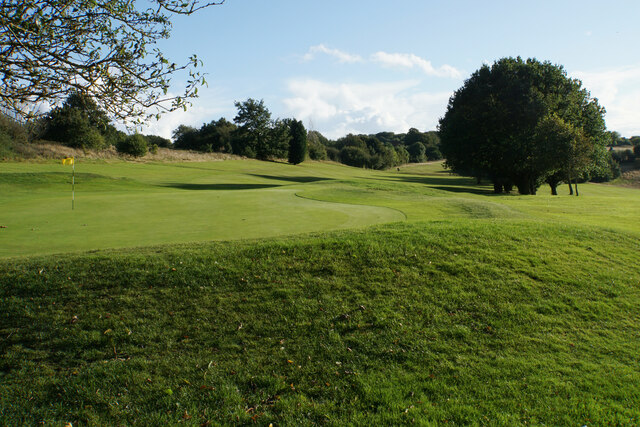
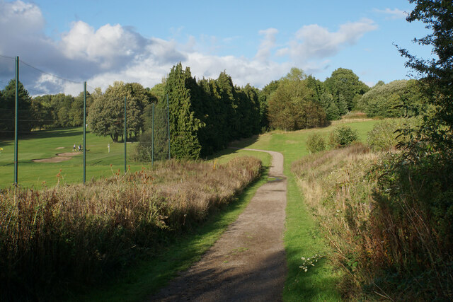
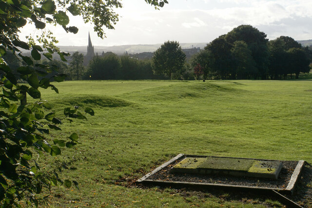
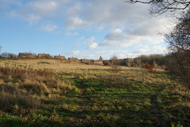
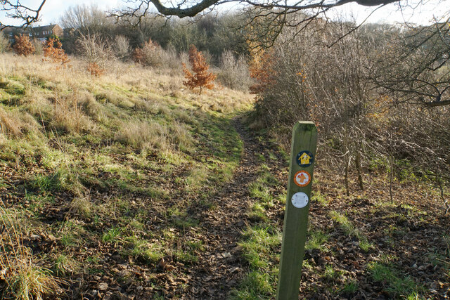
To preserve and protect the natural beauty of Brimington Common, the site is managed by local authorities and conservation organizations. Visitors can explore the common using designated footpaths and enjoy the tranquil surroundings, taking in the stunning views of the surrounding countryside.
Overall, Brimington Common is a haven for wildlife and a place of natural beauty, offering a peaceful retreat for residents and visitors alike.
If you have any feedback on the listing, please let us know in the comments section below.
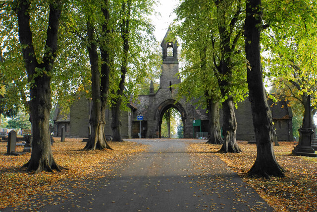
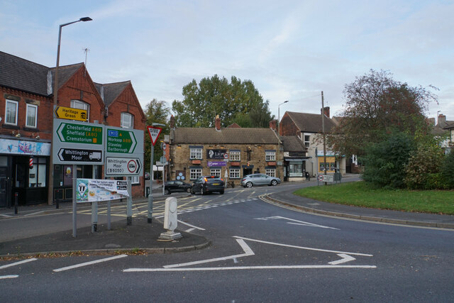
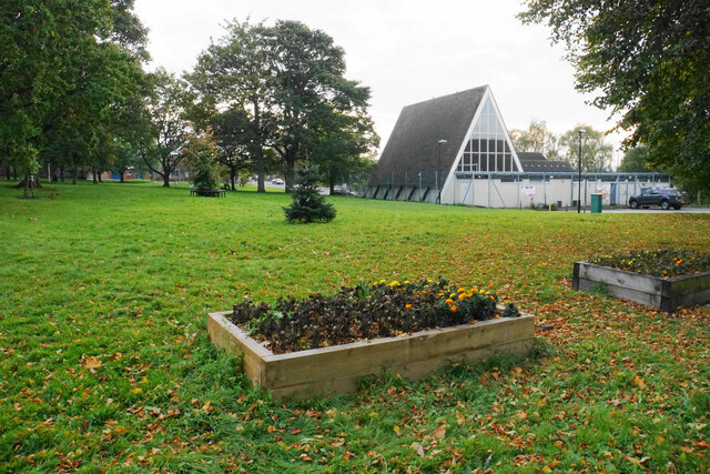
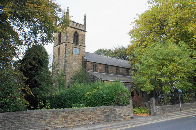
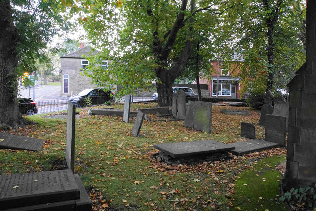
Brimington Common Images
Images are sourced within 2km of 53.244776/-1.386304 or Grid Reference SK4172. Thanks to Geograph Open Source API. All images are credited.


Brimington Common is located at Grid Ref: SK4172 (Lat: 53.244776, Lng: -1.386304)
Administrative County: Derbyshire
District: Chesterfield
Police Authority: Derbyshire
What 3 Words
///double.former.alert. Near Chesterfield, Derbyshire
Nearby Locations
Related Wikis

Chesterfield (UK Parliament constituency)
Chesterfield is a constituency represented in the House of Commons of the UK Parliament since 2010 by Toby Perkins of the Labour Party. == Constituency... ==

Inkersall
Inkersall and Inkersall Green (informally referred to by local residents as Inky) are areas of settlement in Derbyshire, England. They are located south...

Calow
Calow is a village and civil parish in the county of Derbyshire in England. The population of the village at the 2011 census was 2,494. Calow is in North...
Chesterfield Royal Hospital
Chesterfield Royal Hospital is an acute general hospital in Chesterfield, Derbyshire. It is managed by the Chesterfield Royal Hospital NHS Foundation Trust...

Chesterfield Royal Hospital NHS Foundation Trust
Chesterfield Royal Hospital NHS Foundation Trust became a NHS Foundation Trust in January 2005, providing health services at the Chesterfield Royal Hospital...
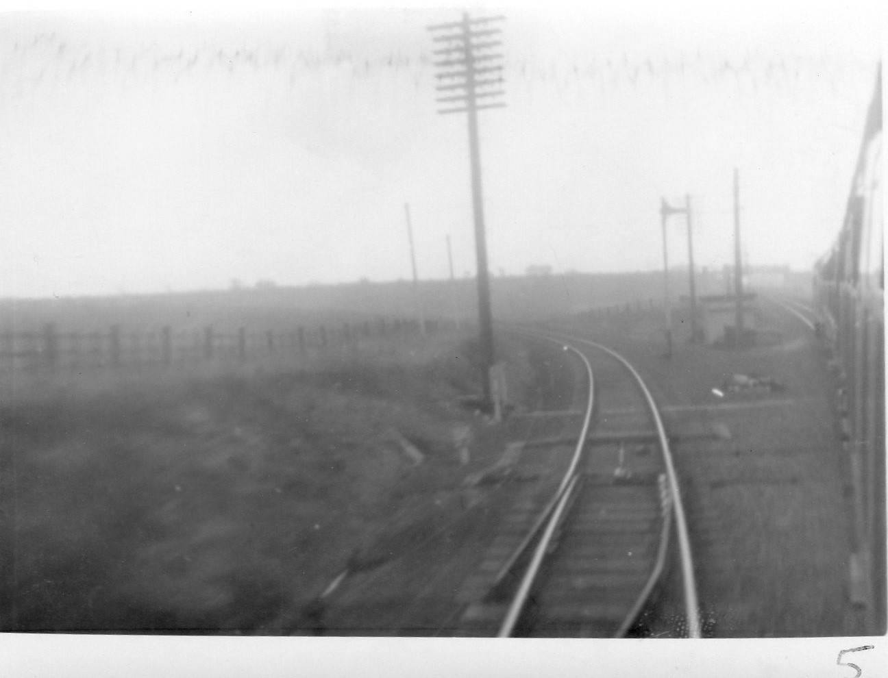
Duckmanton North Junction
Duckmanton North Junction is a former railway junction near Arkwright Town in Derbyshire, England. == Context == Duckmanton North Junction was one of four...
Brimington
Brimington is a large village and civil parish in the Borough of Chesterfield in Derbyshire, England. The population of the parish taken at the 2011 census...
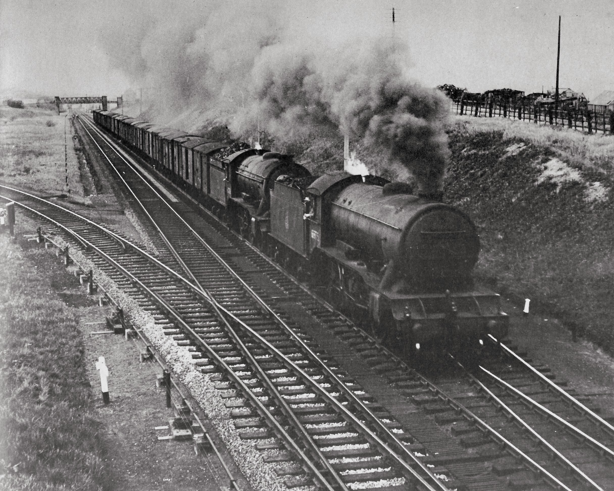
Duckmanton Junction
Duckmanton Junction is a former railway junction near Arkwright Town in Derbyshire, England. == Context == Duckmanton Junction (sometimes referred to as...
Nearby Amenities
Located within 500m of 53.244776,-1.386304Have you been to Brimington Common?
Leave your review of Brimington Common below (or comments, questions and feedback).