Barbon
Civil Parish in Westmorland South Lakeland
England
Barbon

Barbon is a civil parish located in the county of Cumbria, England. It is part of the district of South Lakeland and is situated in the historic county of Westmorland. The parish is bordered by the parishes of Middleton in Lonsdale, Casterton, Barrow, and Dent.
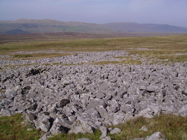
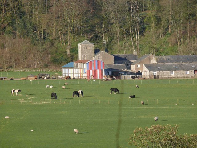
Barbon is a small village nestled in the picturesque countryside of the Yorkshire Dales National Park. The village is surrounded by rolling hills, lush green fields, and charming stone-built houses. It is known for its peaceful and tranquil atmosphere, making it a popular destination for those seeking a rural retreat.
The village is home to St. Bartholomew's Church, a beautiful Grade II listed building dating back to the 18th century. The church is a prominent feature of the village and is often visited by locals and tourists alike.
Barbon is also famous for its annual sheepdog trials, which attract participants and spectators from far and wide. These trials showcase the skill and intelligence of working sheepdogs as they compete in various tasks and challenges.
Despite its small size, Barbon offers a range of amenities to its residents and visitors. There is a village hall that hosts community events and gatherings, and a local pub where locals and visitors can enjoy a drink or a meal.
Overall, Barbon is a charming and idyllic village, offering a peaceful retreat in the heart of the stunning Yorkshire Dales.
If you have any feedback on the listing, please let us know in the comments section below.
Barbon Images
Images are sourced within 2km of 54.235881/-2.538332 or Grid Reference SD6582. Thanks to Geograph Open Source API. All images are credited.


Barbon is located at Grid Ref: SD6582 (Lat: 54.235881, Lng: -2.538332)
Administrative County: Cumbria
District: South Lakeland
Police Authority: Cumbria
What 3 Words
///active.invent.accordion. Near Kirkby Lonsdale, Cumbria
Nearby Locations
Related Wikis

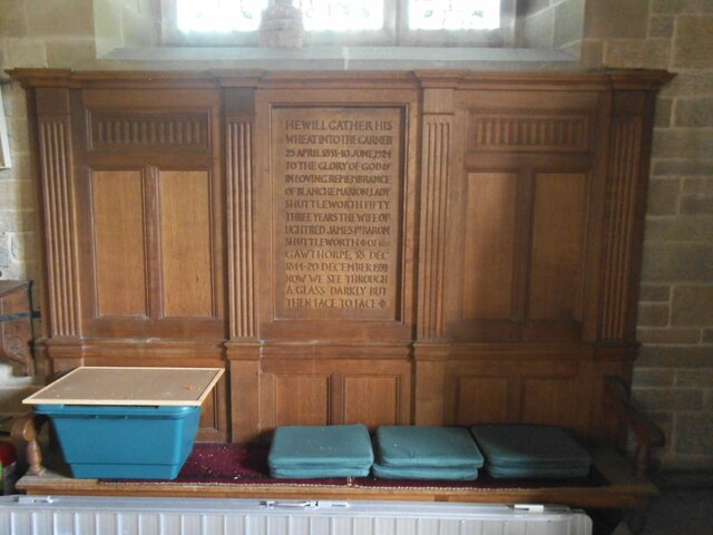
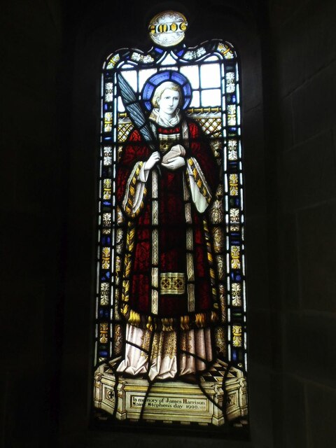
St Bartholomew's Church, Barbon
St Bartholomew's Church is in the village of Barbon, Cumbria, England. It is an active Anglican parish church in the deanery of Kendal, the archdeaconry...

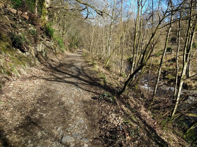
Barbon railway station
Barbon railway station was located in Westmorland (now part of Cumbria), England, serving the town and locale of Barbon on the Ingleton Branch Line....
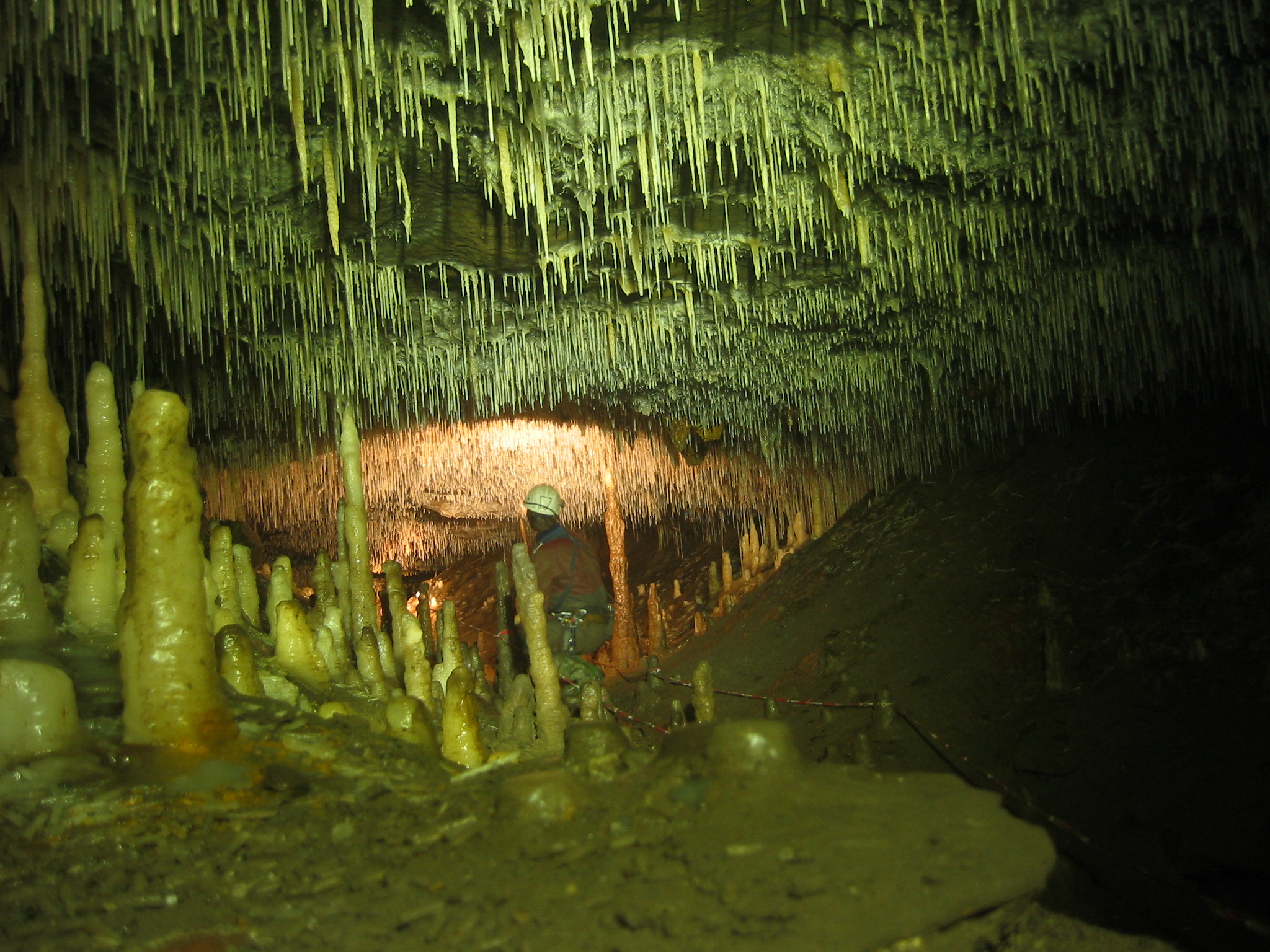
Ease Gill Caverns
The Ease Gill Cave System is the longest, and most complex cave system in Britain as of 2011, with around 41 miles (66 km) of passages, including connections...

Barbon
Barbon is a village and civil parish in Westmorland and Furness, England. According to the 2001 census it had a population of 263, reducing to 236 at...
Leck Fell
Leck Fell is a Site of Special Scientific Interest in Lancashire, England. An area of typically heavily grazed open moorland of rough grass and remnant...

Calf Top
Calf Top is a mountain in the western part of the Yorkshire Dales, England. It is located in the county of Cumbria, although Lancashire and North Yorkshire...
Casterton School
Casterton School was an independent boarding and day school for girls aged 3 to 18 years in the village of Casterton in rural Cumbria. In its final years...
Casterton, Cumbria
Casterton is a small village and civil parish close to Kirkby Lonsdale on the River Lune in the south east corner of Cumbria, England. In the 2001 census...
Nearby Amenities
Located within 500m of 54.235881,-2.538332Have you been to Barbon?
Leave your review of Barbon below (or comments, questions and feedback).