Banwell

Civil Parish in Somerset

England

Banwell

Box Bush Lane End of lane where it turns into a track
Box Bush Lane Credit: Adrian and Janet Quantock

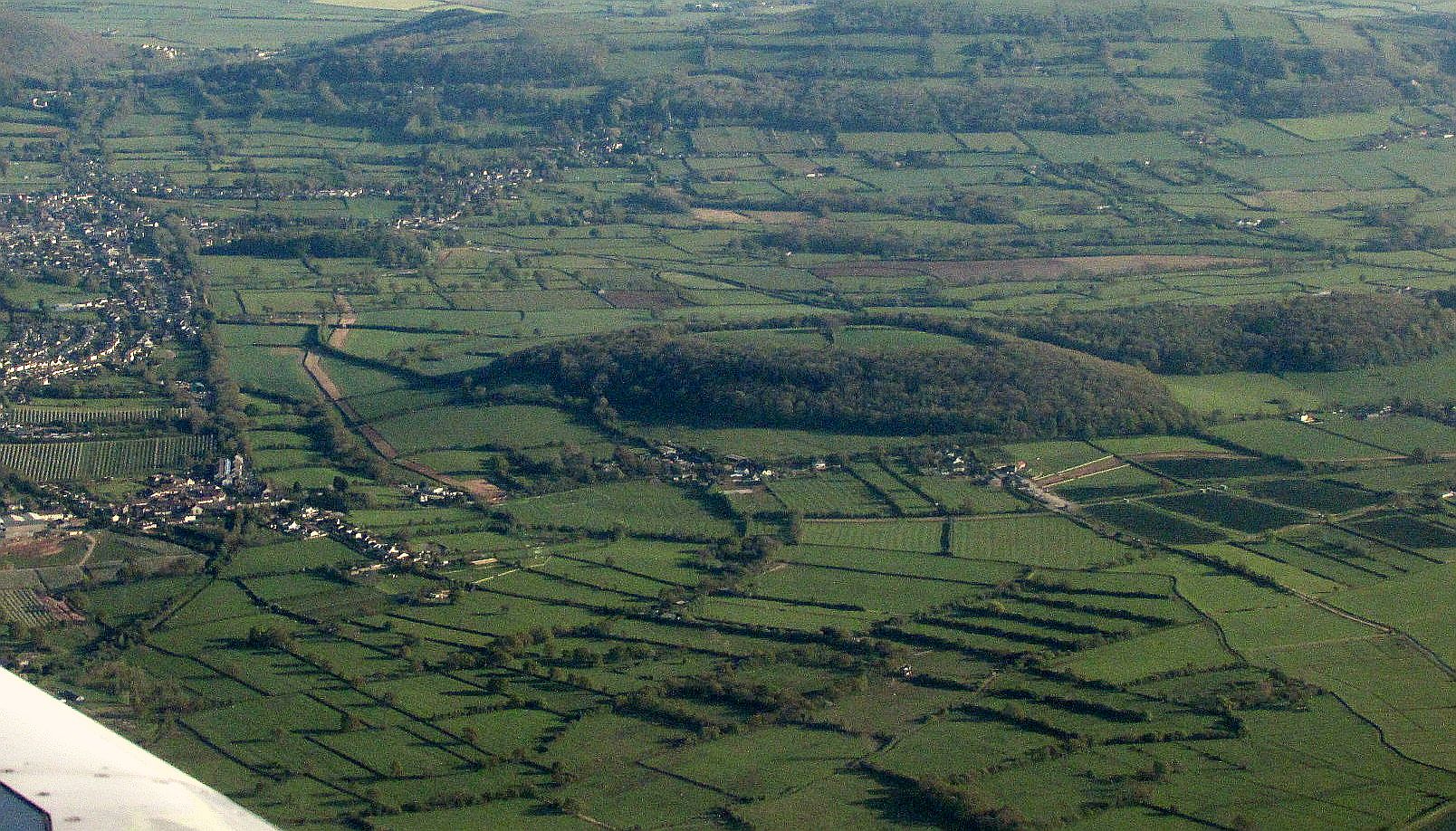
Banwell is a civil parish located in the county of Somerset, England. Situated on the southern edge of the Mendip Hills, it lies approximately 5 miles northeast of Weston-super-Mare. The parish covers an area of about 2,000 acres and is home to a population of around 2,500 residents.

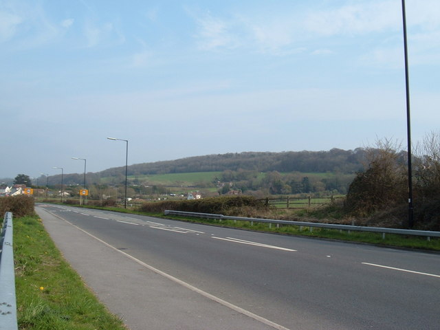
The village of Banwell is characterized by its picturesque setting, surrounded by rolling countryside and farmland. The area is known for its natural beauty, with the Mendip Hills providing stunning views and opportunities for outdoor activities such as hiking and cycling.

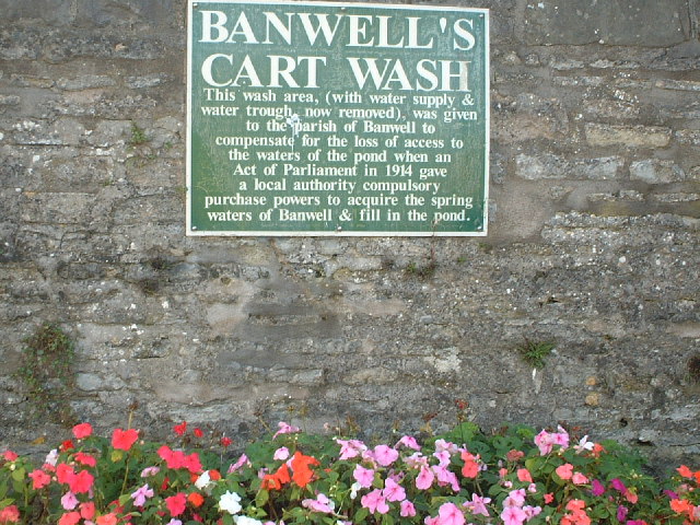
The village itself has a rich history, with evidence of human habitation dating back to the Roman period. The centerpiece of Banwell is the parish church, which dates back to the 13th century and features a unique tower known as the "Wimblestone." The village also boasts a number of historic buildings, including Banwell Castle, a Gothic-style mansion built in the 19th century.

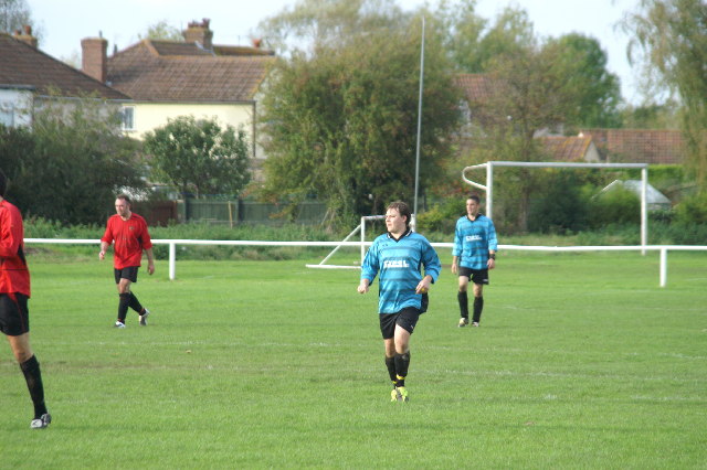
Banwell offers a range of amenities for its residents, including a primary school, a village hall, a post office, and several shops and pubs. The village has a strong sense of community, with various social and recreational groups catering to different interests.

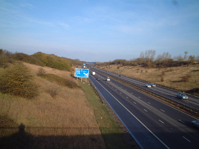
The parish is well-connected to neighboring towns and cities, with good transport links including a nearby train station and access to major road networks. This makes Banwell an attractive location for commuters who prefer a quieter, rural lifestyle while still being within easy reach of urban areas.

Overall, Banwell is a charming village with a rich history and natural beauty, offering a peaceful and idyllic setting for its residents.

If you have any feedback on the listing, please let us know in the comments section below.

Banwell Images

Images are sourced within 2km of 51.339108/-2.873163 or Grid Reference ST3960. Thanks to Geograph Open Source API. All images are credited.

Box Bush Lane End of lane where it turns into a track
Box Bush Lane
End of lane where it turns into a track
Sign in Banwell The site of Banwells former cart wash
Sign in Banwell
The site of Banwells former cart wash
Football Match Banwell Reserves 2 V Westside 4 (Blue Kit) At Banwell's Football Ground
Football Match
Banwell Reserves 2 V Westside 4 (Blue Kit) At Banwell's Football Ground
Banwell Village Bowling Green The green is built on the site of a pond that was filled in.
Banwell Village Bowling Green
The green is built on the site of a pond that was filled in.
Caves Banwell Bone Caves. See <span class="nowrap"><a title="http://en.wikipedia.org/wiki/Banwell_Caves" rel="nofollow ugc noopener" href="http://en.wikipedia.org/wiki/Banwell_Caves">Link</a><img style="margin-left:2px;" alt="External link" title="External link - shift click to open in new window" src="https://s1.geograph.org.uk/img/external.png" width="10" height="10"/></span>
Caves
Banwell Bone Caves. See LinkExternal link
Summer Lane Near Banwell
Summer Lane
Near Banwell
View from Banwell Castle The view from the main bedroom in the keep at Banwell Castle
View from Banwell Castle
The view from the main bedroom in the keep at Banwell Castle
Traffic in West Street Banwell Why Banwell needs a bypass!
Traffic in West Street Banwell
Why Banwell needs a bypass!
Approaching Banwell On the A371 from the direction of Winscombe. The road is passing the wall of the mid-C19 Banwell Castle, whose gatehouse is on the left.
Approaching Banwell
On the A371 from the direction of Winscombe. The road is passing the wall of the mid-C19 Banwell Castle, whose gatehouse is on the left.
Cottages  at Knightcott Near Banwell North Somerset The remnants of last years sweet corn harvest A bit that they missed the Cottages in the distance are  just before Bolters Agricultural Merchants
Cottages at Knightcott Near Banwell North Somerset
The remnants of last years sweet corn harvest A bit that they missed the Cottages in the distance are just before Bolters Agricultural Merchants
Banwell old fire station Banwell old fire station, East Street, Banwell, Avon
Banwell old fire station
Banwell old fire station, East Street, Banwell, Avon
M5 northbound about to go under the A371
Greenfield Avenue, Banwell This road runs north off High St down the steep hillside on which the village is built.It is on the very eastern edge of the grid square.
Greenfield Avenue, Banwell
This road runs north off High St down the steep hillside on which the village is built.It is on the very eastern edge of the grid square.
The A371 Weston to Wells road Here is a view looking over the A371 towards Banwell Hill.
The A371 Weston to Wells road
Here is a view looking over the A371 towards Banwell Hill.
Banwell Tower A Grade II listed building, 59 foot tall and built in 1840.  It is open to the public on Heritage Open Days (about 4 times a year).
Banwell Tower
A Grade II listed building, 59 foot tall and built in 1840. It is open to the public on Heritage Open Days (about 4 times a year).
Banwell Pebble Summerhouse A 19th century folly built by the Bishop of Bath and Wells.
Banwell Pebble Summerhouse
A 19th century folly built by the Bishop of Bath and Wells.
M5 junction sign for Weston Super Mare, junction 21
Show me another place!

Banwell is located at Grid Ref: ST3960 (Lat: 51.339108, Lng: -2.873163)

Unitary Authority: North Somerset

Police Authority: Avon and Somerset

What 3 Words

///regrowth.forget.galaxy. Near Banwell, Somerset

Nearby Locations

Banwell

Related Wikis

Banwell

Banwell is a village and civil parish on the River Banwell in the North Somerset district of Somerset, England. Its population was 3,251 according to the...

Banwell Ochre Caves

Banwell Ochre Caves (grid reference ST407593) are a 12.46-hectare geological Site of Special Scientific Interest near the village of Banwell, North Somerset...

Banwell Caves

Banwell Caves (grid reference ST383588) are a 1.7-hectare geological and biological Site of Special Scientific Interest near the village of Banwell, North...

Banwell Castle

Banwell Castle is a Victorian Gothic Revival mansion in Banwell, Somerset, England. It is a Grade II* listed building. == History == The land on which...

LeisureDome, Weston-super-Mare

LeisureDome was a proposed indoor ski slope for Weston-super-Mare, Somerset, England. It was to be located on the site of the former RAF Locking, which...

Banwell Camp

Banwell Camp is a univallate Iron Age hill fort in the North Somerset district of Somerset, England. The hill fort is situated approximately 1.6 miles...

RAF Locking

RAF Locking was a Royal Air Force station near the village of Locking and about 3 miles (4.8 km) from Weston-super-Mare in North Somerset, England. During...

Sandford and Banwell railway station

Sandford and Banwell railway station was a station on the Bristol and Exeter Railway's Cheddar Valley line in Sandford, Somerset, England. The station...

Nearby Amenities

Located within 500m of 51.339108,-2.873163
Addr Housename: Fur Meadow
Addr Street: Moors Road
Source: GPS
Lat/Long: 51.3397634/-2.8691826
Addr Housename: Moorland Farm
Addr Housenumber: Moorland Farm
Addr Street: Moors Road
Source: GPS
Tourism: caravan_site
Lat/Long: 51.34038/-2.8697748
Power: pole
Source: Bing
Lat/Long: 51.3355151/-2.8760402
Power: pole
Source: Bing
Lat/Long: 51.3356584/-2.877152
Power: pole
Source: Bing
Lat/Long: 51.3351678/-2.8751631
Barrier: stile
Lat/Long: 51.335145/-2.8757119
The data included in this document is from www.openstreetmap.org. The data is made available under ODbL.

Have you been to Banwell?

Leave your review of Banwell below (or comments, questions and feedback).