Brilley

Settlement in Herefordshire

England

Brilley

Eglwys Sant Mihangel Michaelchurch-on-Arrow is Radnorshire's last parish before the border, and the church of St Michael could clearly double up as a fortification if needs be.
Eglwys Sant Mihangel Credit: Mike Parker

Brilley is a small village located in the county of Herefordshire, England. Situated in the beautiful countryside, it lies approximately 10 miles north-west of the city of Hereford. Brilley has a population of around 300 people, making it a close-knit community.

The village is known for its picturesque landscapes and charming rural atmosphere. Surrounded by rolling hills, meadows, and woodland, Brilley offers stunning views and a tranquil environment. The tranquil River Wye flows nearby, providing opportunities for outdoor activities such as fishing and canoeing.

Brilley has a rich history, with evidence of settlements dating back to the Iron Age. It became a thriving agricultural village in the Middle Ages and still retains some historic features, including a 12th-century church dedicated to St. Mary. The church is a notable landmark with its Norman architecture and beautiful stained glass windows.

Despite its small size, Brilley has a strong sense of community. The village has a primary school, which serves the local children, and a village hall that hosts various events and social gatherings. There is also a welcoming pub where locals and visitors can enjoy traditional food and drinks.

Brilley's idyllic location and peaceful atmosphere make it a popular destination for those seeking a slower pace of life or a getaway in the countryside. Its proximity to Hereford allows residents to access a wider range of amenities and services while enjoying the tranquility that comes with living in a rural village.

If you have any feedback on the listing, please let us know in the comments section below.
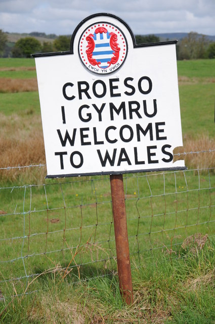
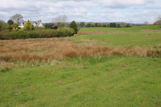
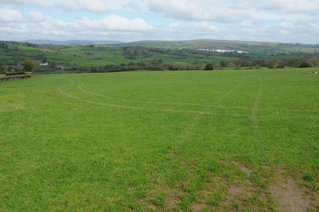
Brilley Images

Images are sourced within 2km of 52.140147/-3.0791226 or Grid Reference SO2649. Thanks to Geograph Open Source API. All images are credited.

Eglwys Sant Mihangel Michaelchurch-on-Arrow is Radnorshire's last parish before the border, and the church of St Michael could clearly double up as a fortification if needs be.
Eglwys Sant Mihangel
Michaelchurch-on-Arrow is Radnorshire's last parish before the border, and the church of St Michael could clearly double up as a fortification if needs be.
Silver jubilee hassock, Michaelchurch-on-Arrow As we gear up for the Queen's Platinum Jubilee, a reminder of her reign's first big milestone, all of 45 years ago.
Silver jubilee hassock, Michaelchurch-on-Arrow
As we gear up for the Queen's Platinum Jubilee, a reminder of her reign's first big milestone, all of 45 years ago.
Bridleway near Brilley This bridleway near Brilley leads to the National Trust property, Cwmmau Farmhouse.
Bridleway near Brilley
This bridleway near Brilley leads to the National Trust property, Cwmmau Farmhouse.
View across the Arrow valley View across the Arrow valley towards Huntington from a footpath to the north of Brilley Mountain.  Black Mixon which at its highest point is just over 2000ft can be seen in the distance.
View across the Arrow valley
View across the Arrow valley towards Huntington from a footpath to the north of Brilley Mountain. Black Mixon which at its highest point is just over 2000ft can be seen in the distance.
Farmland at Brilley Mountain Farmland at Brilley Mountain with Hergest Ridge on the horizon in the distance.
Farmland at Brilley Mountain
Farmland at Brilley Mountain with Hergest Ridge on the horizon in the distance.
On the border The two signs 'Croeso i Gymwu Welcome to Wales' and the 'Powys' sign inform that this is the border between England and Wales at Brilley Mountain.
On the border
The two signs 'Croeso i Gymwu Welcome to Wales' and the 'Powys' sign inform that this is the border between England and Wales at Brilley Mountain.
'Croeso i Gymru Welcome to Wales' Sign at Brilley Mountain welcoming travellers to Wales.
'Croeso i Gymru Welcome to Wales'
Sign at Brilley Mountain welcoming travellers to Wales.
Michaelchurch-on-Arrow church Not surprisingly Michaelchurch-on-Arrow church is dedicated to St Michael.  At the time of my visit part of the churchyard was fenced off with pigwire giving access to sheep to graze the grass.
Michaelchurch-on-Arrow church
Not surprisingly Michaelchurch-on-Arrow church is dedicated to St Michael. At the time of my visit part of the churchyard was fenced off with pigwire giving access to sheep to graze the grass.
Road to Brilley Mountain Narrow country road to Brilley Mountain on the Herefordshire and Powys border.
Road to Brilley Mountain
Narrow country road to Brilley Mountain on the Herefordshire and Powys border.
Crossroads at Brilley Mountain The border between England and Wales runs along this country road, turn left for England or turn right for Wales.
Crossroads at Brilley Mountain
The border between England and Wales runs along this country road, turn left for England or turn right for Wales.
Grazing land near Great Birches Farm Open access grazing land just inside Wales near Great Birches Farm at Brilley Mountain.
Grazing land near Great Birches Farm
Open access grazing land just inside Wales near Great Birches Farm at Brilley Mountain.
Entrance to Great Birches Farm Entrance to Great Birches Farm at Brilley Mountain.
Entrance to Great Birches Farm
Entrance to Great Birches Farm at Brilley Mountain.
View over the Arrow valley View over the Arrow valley and the Welsh border lands to Huntington, with Hergest Ridge in the Middle distance and Black Mixon which rises to just over 2000ft in the distance.
View over the Arrow valley
View over the Arrow valley and the Welsh border lands to Huntington, with Hergest Ridge in the Middle distance and Black Mixon which rises to just over 2000ft in the distance.
Stained-glass window, Michaelchurch-on-Arrow Small pair of stained-glass windows in the south wall of St Michael's church, Michaelchurch-on-Arrow.
Stained-glass window, Michaelchurch-on-Arrow
Small pair of stained-glass windows in the south wall of St Michael's church, Michaelchurch-on-Arrow.
stained-glass windows, Michaelchurch-on-Arrow Small stained-glass window in the north wall of St Michael's church, Michaelchurch-on-Arrow.
stained-glass windows, Michaelchurch-on-Arrow
Small stained-glass window in the north wall of St Michael's church, Michaelchurch-on-Arrow.
Entrance to Brilley
Entrance to Brilley
Road junction, rainbow
After the silage crop Round bales beside the once mown field which filled them.
After the silage crop
Round bales beside the once mown field which filled them.
Show me another place!

Brilley is located at Grid Ref: SO2649 (Lat: 52.140147, Lng: -3.0791226)

Unitary Authority: County of Herefordshire

Police Authority: West Mercia

What 3 Words

///browsers.enacts.notch. Near Clifford, Herefordshire

Nearby Locations

Brilley

Related Wikis

Brilley

Brilley is a small village and civil parish in Herefordshire, England, close to the border with Wales, and about 8 km (5 mi) north-east of the Welsh border...

Whitney-on-Wye railway station

Whitney-on-Wye railway station was a station in Whitney-on-Wye, Herefordshire, England. The station was opened in 1864 and closed in 1962. == References... ==

Whitney-on-Wye toll bridge

Whitney-on-Wye toll bridge is a single-carriageway, wood- and stone-construction in Herefordshire, England. The toll bridge carries the B4350 south from...

Whitney-on-Wye

Whitney-on-Wye is a village and civil parish in Herefordshire, England, and approximately 1 mile (1.6 km) east from the border with Wales. The village...

Nearby Amenities

Located within 500m of 52.140147,-3.0791226
Bus Stop
School
Bus: yes
Naptan AtcoCode: 2090A136400
Naptan Bearing: S
Naptan BusStopType: CUS
Naptan CommonName: School
Naptan Indicator: adj
Naptan Landmark: Brilley School
Naptan NaptanCode: heragawa
Naptan Street: N/K
Naptan Verified: no
Public Transport: platform
Source: naptan_import
Lat/Long: 52.1409835/-3.0794379
Bus Stop
School
Bus: yes
Naptan AtcoCode: 2090A18845
Naptan Bearing: N
Naptan BusStopType: CUS
Naptan CommonName: School
Naptan Indicator: opp
Naptan Landmark: Brilley School
Naptan NaptanCode: herajgap
Naptan Street: N/K
Naptan Verified: no
Public Transport: platform
Source: naptan_import
Lat/Long: 52.1409976/-3.0795639
Brilley
Place: hamlet
Source: NLS - OS 1:25k 1st Series 1937-61
Wikidata: Q262514
Lat/Long: 52.1365977/-3.0817234
Direction: 265
Generator Method: photovoltaic
Generator Output Electricity: yes
Generator Solar Modules: 16
Generator Source: solar
Generator Type: solar_photovoltaic_panel
Location: roof
Power: generator
Lat/Long: 52.1369051/-3.0799108
Direction: 125
Generator Method: photovoltaic
Generator Output Electricity: yes
Generator Solar Modules: 16
Generator Source: solar
Generator Type: solar_photovoltaic_panel
Location: roof
Power: generator
Lat/Long: 52.1367066/-3.0817978
The data included in this document is from www.openstreetmap.org. The data is made available under ODbL.

Have you been to Brilley?

Leave your review of Brilley below (or comments, questions and feedback).