Bainbridge

Civil Parish in Yorkshire Richmondshire

England

Bainbridge

Path down to Semer Water There are only two lakes in the Yorkshire Dales, Malham Tarn and Semer Water. Semer Water was formed during the last Ice Age by a moraine which effectively dammed the valley. The lake today is a shadow of its former self but is still three miles in circumference and 45 feet deep. This is the footpath back down to Semer Water in evening sunlight.
Path down to Semer Water Credit: Marathon

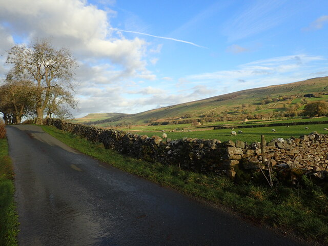
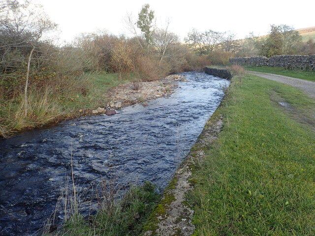
Bainbridge is a civil parish located in the county of North Yorkshire, England. Situated in the scenic Yorkshire Dales National Park, it is a small village with a population of around 400 residents. The village is nestled in the picturesque valley of the River Bain, from which it takes its name.

With its rich history dating back to the Roman times, Bainbridge boasts several notable landmarks and attractions. One of the main attractions is the historic Roman fort, which was built to guard the strategic crossing of the River Bain. Today, visitors can explore the remains of the fort and learn about its significance in the region's history.

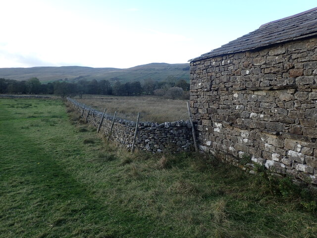
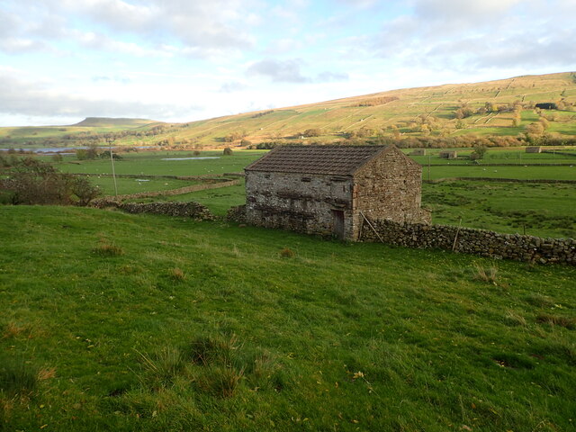
The village is also known for its charming stone-built houses, many of which date back to the 17th and 18th centuries. The local church, St. Matthew's, is a prominent feature with its elegant architecture and stained glass windows.

Bainbridge offers a range of amenities to its residents and visitors. There is a village shop, a pub, and a tea room where locals and tourists can enjoy a cup of tea and homemade treats. The village also hosts a variety of events throughout the year, including agricultural shows and traditional fairs.

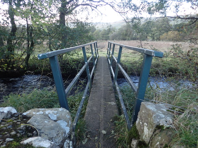
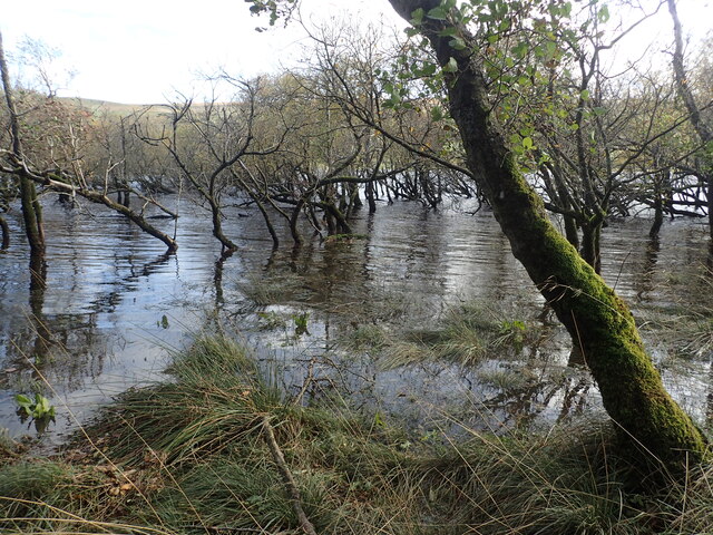
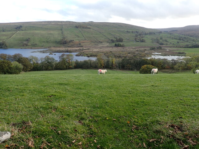
The surrounding countryside provides ample opportunities for outdoor activities such as hiking, cycling, and fishing. The breathtaking landscape of the Yorkshire Dales attracts nature lovers and outdoor enthusiasts from all over the country.

In conclusion, Bainbridge is a charming village in the heart of the Yorkshire Dales, known for its rich history, beautiful architecture, and stunning natural surroundings.

If you have any feedback on the listing, please let us know in the comments section below.
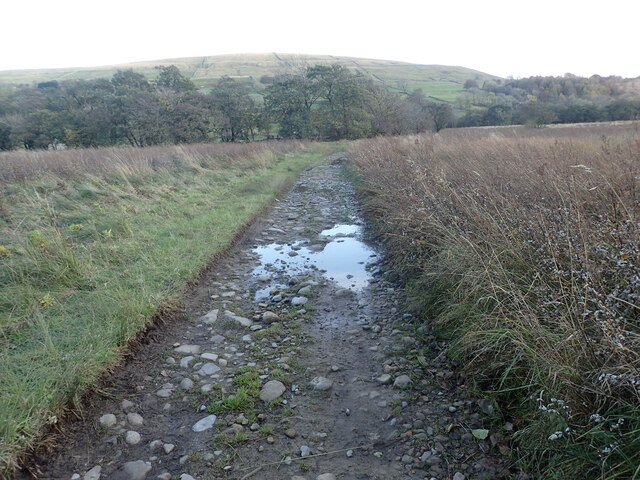
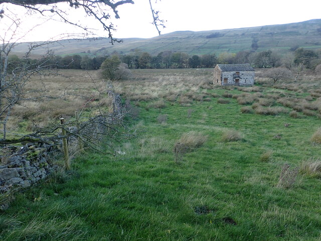
Bainbridge Images

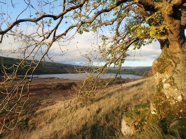
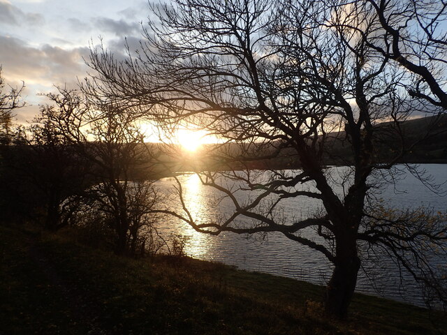
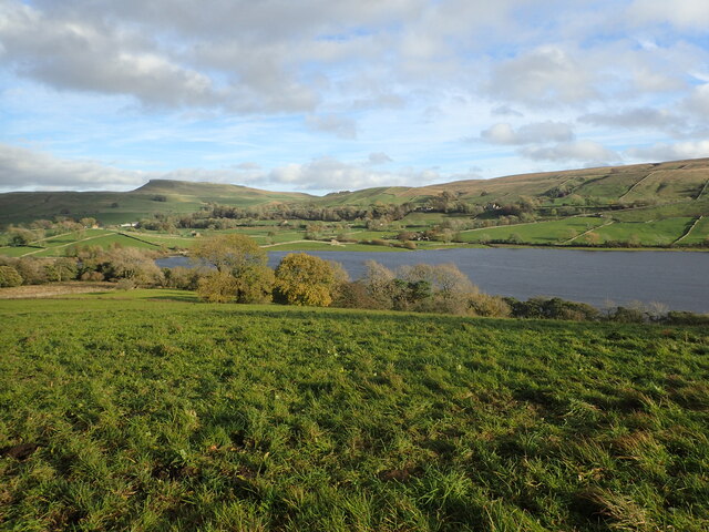
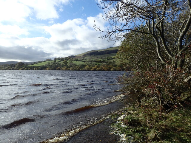
Images are sourced within 2km of 54.269335/-2.135365 or Grid Reference SD9185. Thanks to Geograph Open Source API. All images are credited.

Path down to Semer Water There are only two lakes in the Yorkshire Dales, Malham Tarn and Semer Water. Semer Water was formed during the last Ice Age by a moraine which effectively dammed the valley. The lake today is a shadow of its former self but is still three miles in circumference and 45 feet deep. This is the footpath back down to Semer Water in evening sunlight.
Path down to Semer Water
There are only two lakes in the Yorkshire Dales, Malham Tarn and Semer Water. Semer Water was formed during the last Ice Age by a moraine which effectively dammed the valley. The lake today is a shadow of its former self but is still three miles in circumference and 45 feet deep. This is the footpath back down to Semer Water in evening sunlight.
Semer Water at sunset There are only two lakes in the Yorkshire Dales, Malham Tarn and Semer Water. Semer Water was formed during the last Ice Age by a moraine which effectively dammed the valley. The lake today is a shadow of its former self but is still three miles in circumference and 45 feet deep. Legend has it that there is a drowned village under the water.
Semer Water at sunset
There are only two lakes in the Yorkshire Dales, Malham Tarn and Semer Water. Semer Water was formed during the last Ice Age by a moraine which effectively dammed the valley. The lake today is a shadow of its former self but is still three miles in circumference and 45 feet deep. Legend has it that there is a drowned village under the water.
View from a footpath above Semer Water There are only two lakes in the Yorkshire Dales, Malham Tarn and Semer Water. Semer Water was formed during the last Ice Age by a moraine which effectively dammed the valley. The lake today is a shadow of its former self but is still three miles in circumference and 45 feet deep. Legend has it that there is a drowned village under the water. The hill in the distance is Addlebrough.
View from a footpath above Semer Water
There are only two lakes in the Yorkshire Dales, Malham Tarn and Semer Water. Semer Water was formed during the last Ice Age by a moraine which effectively dammed the valley. The lake today is a shadow of its former self but is still three miles in circumference and 45 feet deep. Legend has it that there is a drowned village under the water. The hill in the distance is Addlebrough.
Semer Water There are only two lakes in the Yorkshire Dales, Malham Tarn and Semer Water. Semer Water was formed during the last Ice Age by a moraine which effectively dammed the valley. The lake today is a shadow of its former self but is still three miles in circumference and 45 feet deep. Legend has it that there is a drowned village under the water. The River Bain, which flows out of Semer Water, at two and half miles is the shortest river in England.
Semer Water
There are only two lakes in the Yorkshire Dales, Malham Tarn and Semer Water. Semer Water was formed during the last Ice Age by a moraine which effectively dammed the valley. The lake today is a shadow of its former self but is still three miles in circumference and 45 feet deep. Legend has it that there is a drowned village under the water. The River Bain, which flows out of Semer Water, at two and half miles is the shortest river in England.
Marsett Lane This is just outside the hamlet of Marsett on the way to Countersett. The hill in the distance is Addlebrough.
Marsett Lane
This is just outside the hamlet of Marsett on the way to Countersett. The hill in the distance is Addlebrough.
Footbridge over Cragdale Water The footpath between Stalling Busk and Marsett is wet at the best of times. Cragdale water and then Raydale Beck are crossed by footbridges. This is the first one.
Footbridge over Cragdale Water
The footpath between Stalling Busk and Marsett is wet at the best of times. Cragdale water and then Raydale Beck are crossed by footbridges. This is the first one.
A barn in Raydale This view is from a meeting of footpaths downhill from Stelling Busk on the way to Cragdale Water.
A barn in Raydale
This view is from a meeting of footpaths downhill from Stelling Busk on the way to Cragdale Water.
The head of Semer Water at sunset There are only two lakes in the Yorkshire Dales, Malham Tarn and Semer Water. Semer Water was formed during the last Ice Age by a moraine which effectively dammed the valley. The lake today is a shadow of its former self but is still three miles in circumference and 45 feet deep. This is the view from the footpath looking back to the head of Semer Water at sunset.
The head of Semer Water at sunset
There are only two lakes in the Yorkshire Dales, Malham Tarn and Semer Water. Semer Water was formed during the last Ice Age by a moraine which effectively dammed the valley. The lake today is a shadow of its former self but is still three miles in circumference and 45 feet deep. This is the view from the footpath looking back to the head of Semer Water at sunset.
Erratic at Semer Water Semer Water was formed during the last Ice Age by a moraine which effectively dammed the valley and leaving erratic boulders like this one behind. The lake today is a shadow of its former self but is still three miles in circumference and 45 feet deep.
Erratic at Semer Water
Semer Water was formed during the last Ice Age by a moraine which effectively dammed the valley and leaving erratic boulders like this one behind. The lake today is a shadow of its former self but is still three miles in circumference and 45 feet deep.
Semer Water Bridge The River Bain flows from Semer Water under the bridge here. As a tributary of the River Ure, it is one of the shortest, named rivers in England.
Semer Water Bridge
The River Bain flows from Semer Water under the bridge here. As a tributary of the River Ure, it is one of the shortest, named rivers in England.
Part of Semer water There are only two lakes in the Yorkshire Dales, Malham Tarn and Semer Water. This is Semer Water in Wensleydale. It was clearly fuller than normal making this look like a mangrove swamp. Legend has it that there is a drowned village under the water.
Part of Semer water
There are only two lakes in the Yorkshire Dales, Malham Tarn and Semer Water. This is Semer Water in Wensleydale. It was clearly fuller than normal making this look like a mangrove swamp. Legend has it that there is a drowned village under the water.
Semer Water There are only two lakes in the Yorkshire Dales, Malham Tarn and Semer Water. This is Semer Water in Wensleydale. It was clearly fuller than normal making this look like a mangrove swamp. Legend has it that there is a drowned village under the water.
Semer Water
There are only two lakes in the Yorkshire Dales, Malham Tarn and Semer Water. This is Semer Water in Wensleydale. It was clearly fuller than normal making this look like a mangrove swamp. Legend has it that there is a drowned village under the water.
Semer Water seen from Marsett Lane There are only two lakes in the Yorkshire Dales, Malham Tarn and Semer Water. Semer Water was formed during the last Ice Age by a moraine which effectively dammed the valley. The lake today is a shadow of its former self but is still three miles in circumference and 45 feet deep. Legend has it that there is a drowned village under the water.
Semer Water seen from Marsett Lane
There are only two lakes in the Yorkshire Dales, Malham Tarn and Semer Water. Semer Water was formed during the last Ice Age by a moraine which effectively dammed the valley. The lake today is a shadow of its former self but is still three miles in circumference and 45 feet deep. Legend has it that there is a drowned village under the water.
Old barn seen from Marsett Lane The barns in the Yorkshire Dales are in varying stages of dilapidation. This one seems quite good and it appears to have a new roof. The hill in the distance on the left is Addlebrough.
Old barn seen from Marsett Lane
The barns in the Yorkshire Dales are in varying stages of dilapidation. This one seems quite good and it appears to have a new roof. The hill in the distance on the left is Addlebrough.
Marsett Beck This looks downstream from Marsett Bridge. Marsett Beck flows into Crooks Beck a short distance ahead which in turn flows into Semer Water.
Marsett Beck
This looks downstream from Marsett Bridge. Marsett Beck flows into Crooks Beck a short distance ahead which in turn flows into Semer Water.
Track between two streams The track has just crossed Raydale Beck and is heading to the footbridge over Cragdale Water.
Track between two streams
The track has just crossed Raydale Beck and is heading to the footbridge over Cragdale Water.
Isolated barn in a field The barns in the Yorkshire Dales are in varying stages of dilapidation. This one seems in quite good condition and it appears to have a decent roof. This view is from the footpath which leads from Busk Lane towards Semer Water.
Isolated barn in a field
The barns in the Yorkshire Dales are in varying stages of dilapidation. This one seems in quite good condition and it appears to have a decent roof. This view is from the footpath which leads from Busk Lane towards Semer Water.
Show me another place!

Bainbridge is located at Grid Ref: SD9185 (Lat: 54.269335, Lng: -2.135365)

Division: North Riding

Administrative County: North Yorkshire

District: Richmondshire

Police Authority: North Yorkshire

What 3 Words

///auctioned.silent.widgets. Near Leyburn, North Yorkshire

Related Wikis

St Matthew's Church, Stalling Busk

St Matthew's Church, Stalling Busk is a Grade II listed parish church in the Church of England in Stalling Busk, North Yorkshire. == History == The church...

Stalling Busk

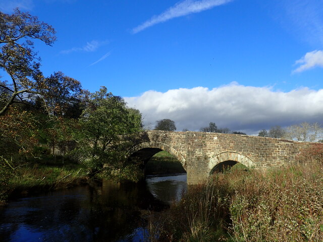
Stalling Busk is one of three settlements around Semer Water in the Richmondshire district of North Yorkshire in the small dale of Raydale just off...

Marsett

Marsett is one of three settlements in around Semer Water in Raydale, a small side dale off Wensleydale in North Yorkshire, England. Marsett is only a...
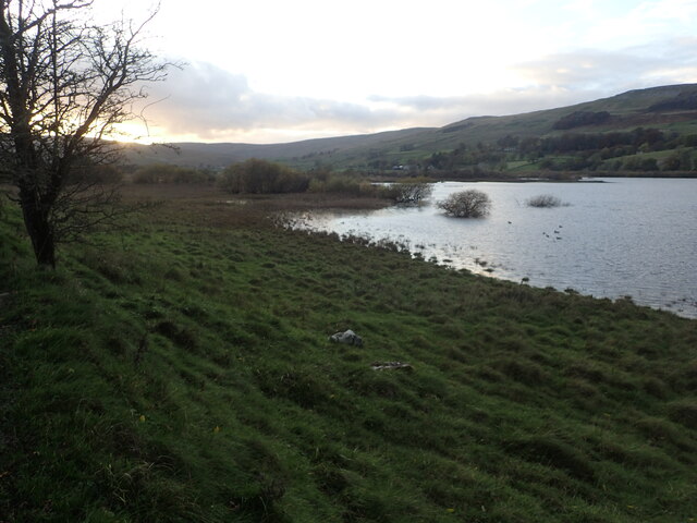
Semerwater

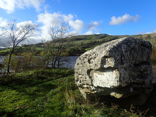
Semerwater () is the second largest natural lake in North Yorkshire, England, after Malham Tarn. It is half a mile (800 m) long, covers 100 acres (0.40...

Countersett

Countersett is the largest of the three settlements in Raydale, around Semerwater in the Richmondshire district of North Yorkshire, England. It is in the...

Yorkshire Dales

The Yorkshire Dales are an upland area of the Pennines in England. Most of the area is in the county of North Yorkshire, but it extends into Cumbria and...

Wether Fell

Wether Fell (archaically Wetherfell), also known as Drumaldrace (the name of its summit), is a mountain in the Yorkshire Dales National Park, in North...

Addlebrough

Addlebrough is a fell in Wensleydale, North Yorkshire, England. It is 481 m (1,578 ft) high. Bronze Age inhabitants built homes and enclosures on the fell...

Nearby Amenities

Located within 500m of 54.269335,-2.135365
Stalling Busk
Place: hamlet
Source: NPE
Wikidata: Q7597311
Wikipedia: en:Stalling Busk
Lat/Long: 54.2682085/-2.1298666
Natural: spring
Source: OS_OpenData_Streetview
Lat/Long: 54.2716837/-2.1329598
Source: survey
Lat/Long: 54.2692917/-2.142337
Ford: yes
Lat/Long: 54.2654399/-2.1332868
Old Church
Historic: ruins
Lat/Long: 54.2724851/-2.13027
Barrier: stile
Lat/Long: 54.2679585/-2.1380279
Telephone
Booth: KX100
Covered: booth
Operator: BT
Payment Coins: no
Phone: +44 1969 650254
Lat/Long: 54.2685198/-2.1302026
Post Box
Collection Times: Mo-Fr 09:00; Sa 07:00
Operator: Royal Mail
Operator Wikidata: Q638098
Post Box Mounting: stone_wall
Post Box Type: wall
Ref: DL8 80
Royal Cypher: GR
Royal Cypher Wikidata: Q33102273
Lat/Long: 54.268345/-2.1302321
Bench
Lat/Long: 54.2686231/-2.1307676
Power: pole
Lat/Long: 54.2682304/-2.1311037
Power: pole
Lat/Long: 54.2678494/-2.1328527
Power: pole
Lat/Long: 54.2675431/-2.1342504
Power: pole
Lat/Long: 54.2679783/-2.1348577
Power: pole
Lat/Long: 54.2686407/-2.1358564
Power: pole
Lat/Long: 54.2690334/-2.136436
Power: pole
Lat/Long: 54.2697925/-2.1375502
Power: pole
Lat/Long: 54.2704709/-2.138589
Power: pole
Lat/Long: 54.2711933/-2.1398336
Power: pole
Lat/Long: 54.2718571/-2.1410205
The data included in this document is from www.openstreetmap.org. The data is made available under ODbL.

Have you been to Bainbridge?

Leave your review of Bainbridge below (or comments, questions and feedback).