Badger Farm
Civil Parish in Hampshire Winchester
England
Badger Farm

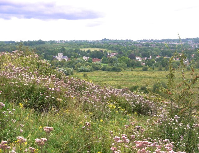
Badger Farm is a civil parish located in the county of Hampshire, England. Situated approximately 2 miles southwest of Winchester, it is a primarily residential area with a population of around 4,000 people. The parish is bordered by the M3 motorway to the east, providing convenient road access to London and Southampton.
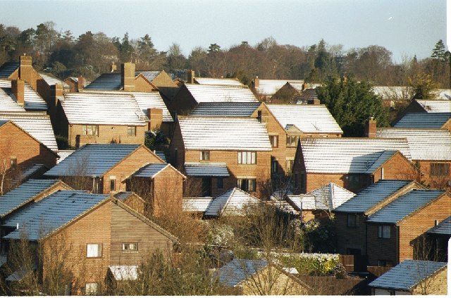
Originally, Badger Farm was agricultural land, but it has undergone significant development since the 1970s. The area now consists of a mix of housing types, including detached houses, semi-detached houses, and apartment complexes. There is also a small commercial center within the parish, offering various amenities such as shops, a supermarket, and a pharmacy.
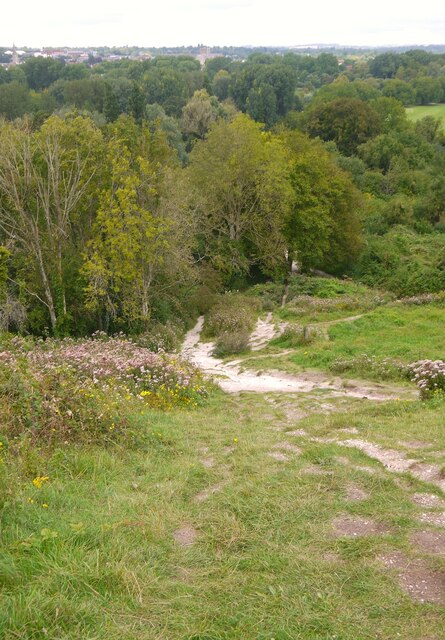
One of the notable features of Badger Farm is the open green spaces and parks that are scattered throughout the area. These provide residents with opportunities for recreational activities such as walking, jogging, and picnicking. The parish is also home to a community center that hosts various events and activities for residents of all ages.
In terms of education, Badger Farm has a primary school that serves the local community. Secondary education is provided by nearby schools in Winchester.
Transportation in Badger Farm is mainly reliant on private vehicles, although there are bus services that connect the area with Winchester and other nearby towns. The closest train station is Winchester Station, which offers regular services to London and other major cities.
Overall, Badger Farm is a thriving residential area with a range of amenities and green spaces, making it an attractive place to live for families and individuals alike.
If you have any feedback on the listing, please let us know in the comments section below.
Badger Farm Images
Images are sourced within 2km of 51.04826/-1.336146 or Grid Reference SU4627. Thanks to Geograph Open Source API. All images are credited.


Badger Farm is located at Grid Ref: SU4627 (Lat: 51.04826, Lng: -1.336146)
Administrative County: Hampshire
District: Winchester
Police Authority: Hampshire
What 3 Words
///harmonica.rational.lifelong. Near Winchester, Hampshire
Nearby Locations
Related Wikis
Badger Farm
Badger Farm is a suburb to the south of the city of Winchester in the English county of Hampshire, England. It is also a civil parish in the local government...

Franciscan Friary, Winchester
Franciscan Friary, Winchester was a friary dedicated to St. Francis in Hampshire, England. It was founded by Albert of Pisa in 1237 and dissolved in 1538...

Stanmore, Winchester
Stanmore is a large residential suburb of Winchester, Hampshire, England, situated on a very steep slope from West to East. It lies to the south-west of...

Green Jackets Ground
The Green Jackets Ground is a cricket ground in St Cross, Winchester, Hampshire. The ground was first used in 1859, when Winchester Garrison played I Zingari...
West Downs School
West Downs School, Romsey Road, Winchester, Hampshire, was an English independent preparatory school, which was established in 1897 and closed in 1988...
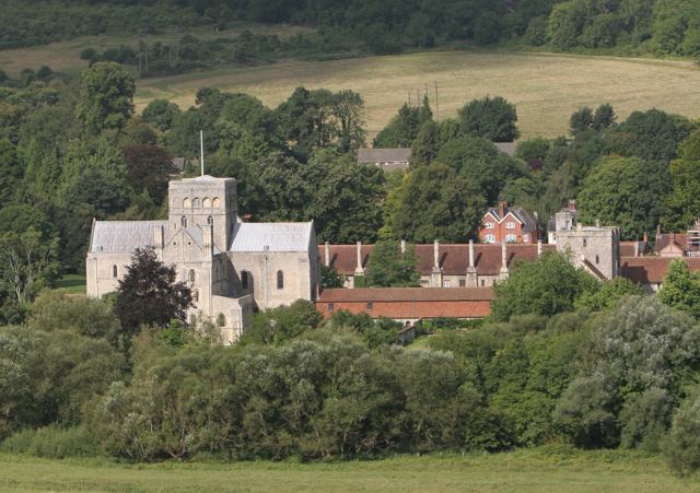
Hospital of St Cross
The Hospital of St Cross and Almshouse of Noble Poverty is a medieval almshouse in Winchester, Hampshire, England. It has been described as "England's...
Blue Apple Theatre
Blue Apple Theatre is a theatre company based in Winchester, England. It was founded in 2005 by Jane Jessop to support the inclusion of actors with intellectual...
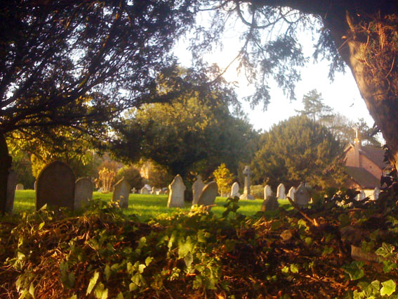
St Faith's Church, Winchester
St Faith's Church was the parish church of St Cross, a village just south of Winchester, Hampshire, England. It was situated on the northern side of what...
Nearby Amenities
Located within 500m of 51.04826,-1.336146Have you been to Badger Farm?
Leave your review of Badger Farm below (or comments, questions and feedback).