Ayot St Lawrence

Civil Parish in Hertfordshire Welwyn Hatfield

England

Ayot St Lawrence

View from Bride Hall Lane, Ayot St Lawrence The view is towards Brimstone Wood.
View from Bride Hall Lane, Ayot St Lawrence Credit: Humphrey Bolton

Ayot St Lawrence is a civil parish located in Hertfordshire, England. It is situated approximately 20 miles north of London and is part of the Welwyn Hatfield district. The parish covers an area of about 1 square mile and has a population of around 150 people.

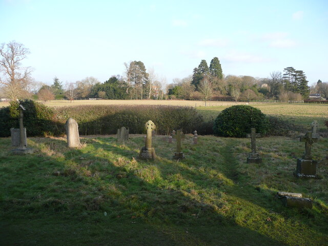
Ayot St Lawrence is known for its picturesque and idyllic setting, with its charming countryside landscapes and historic buildings. The village is home to several Grade II listed structures, including the 18th-century parish church of St Lawrence, which is renowned for its unique octagonal shape. The churchyard also contains the final resting place of George Bernard Shaw, the famous playwright and Nobel laureate.

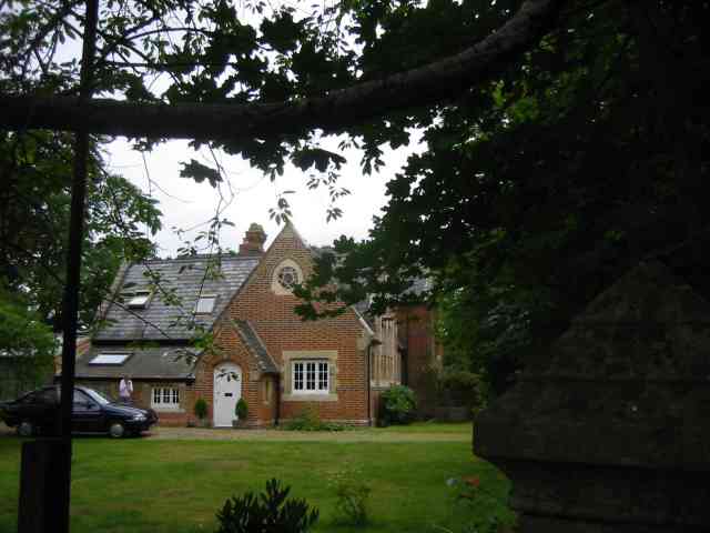
The village itself is small and quaint, featuring a collection of traditional cottages and houses. It has a strong community spirit, with various social events and activities organized throughout the year. The local pub, The Brocket Arms, is a popular gathering spot and offers a warm and welcoming atmosphere for residents and visitors alike.

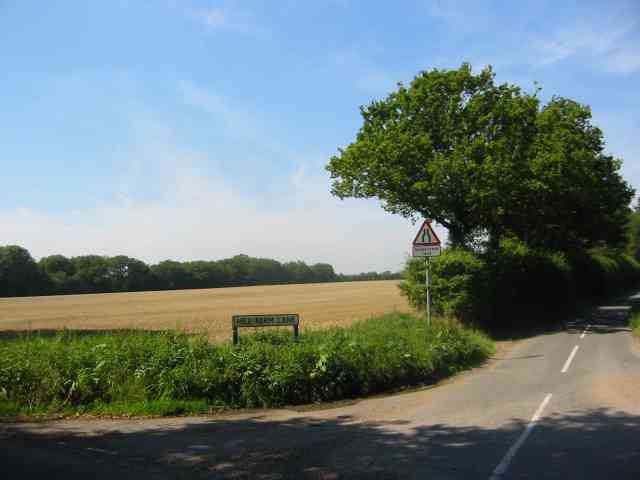
The surrounding area offers ample opportunities for outdoor activities, including walking, cycling, and exploring the nearby Ayot Greenway, a former railway line that has been converted into a scenic trail. The village is also situated close to the larger towns of Welwyn Garden City and Hatfield, providing access to a range of amenities and services.

Overall, Ayot St Lawrence is a charming and historic village, offering a peaceful and rural lifestyle while still being within easy reach of larger towns and cities.

If you have any feedback on the listing, please let us know in the comments section below.

Ayot St Lawrence Images

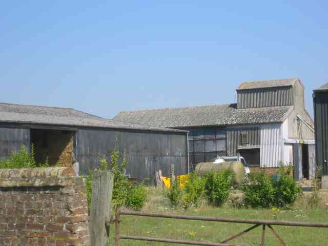
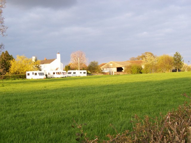
Images are sourced within 2km of 51.836514/-0.256344 or Grid Reference TL2016. Thanks to Geograph Open Source API. All images are credited.

View from Bride Hall Lane, Ayot St Lawrence The view is towards Brimstone Wood.
View from Bride Hall Lane, Ayot St Lawrence
The view is towards Brimstone Wood.
Ayot Lodge, Ayot St Lawrence This mid-19C house is listed, Grade II, and was the lodge for Ayot House. It is at the entrance to Bride Hall Lane, which is a public bridleway to Tanyard Lane. The first part of the lane is the driveway to Ayot House and The Manor House.
Ayot Lodge, Ayot St Lawrence
This mid-19C house is listed, Grade II, and was the lodge for Ayot House. It is at the entrance to Bride Hall Lane, which is a public bridleway to Tanyard Lane. The first part of the lane is the driveway to Ayot House and The Manor House.
View of Ayot House from the church, Ayot St Lawrence The church was designed as an eye-catcher from the house.
View of Ayot House from the church, Ayot St Lawrence
The church was designed as an eye-catcher from the house.
Churchyard and view, Ayot St Lawrence
Ayot St Peter This building is next door to the church. Looks like it was the school but is now a house
Ayot St Peter
This building is next door to the church. Looks like it was the school but is now a house
Road sign to Hill Farm Lane The area was lacking in tangible elements being woods and open fields.
Road sign to Hill Farm Lane
The area was lacking in tangible elements being woods and open fields.
A strange structure at Hill Farm I wonder if it covers a well
A strange structure at Hill Farm
I wonder if it covers a well
More farm buildings at Hill Farm Interesting to see straw bales packed into a building
More farm buildings at Hill Farm
Interesting to see straw bales packed into a building
Arable land already ploughed for the next crop Taken from Lord Mead Lane looking north east
Arable land already ploughed for the next crop
Taken from Lord Mead Lane looking north east
Landscape looking due north from  Lord Mead Lane The relatively recent plantation  of trees will be a landmark in twenty years' time, subject to global warming.
Landscape looking due north from Lord Mead Lane
The relatively recent plantation of trees will be a landmark in twenty years' time, subject to global warming.
Farm Buildings at Codicote Bottom This is the farm related to those two landscape views
Farm Buildings at Codicote Bottom
This is the farm related to those two landscape views
Gates leading to something in Codicote Bottom The message is, we wish to keep you out for as long as possible.
Gates leading to something in Codicote Bottom
The message is, we wish to keep you out for as long as possible.
Cottage opposite the "gates" in Codicote Bottom In this instance even the fencing has gaps
Cottage opposite the "gates" in Codicote Bottom
In this instance even the fencing has gaps
More Gates in Codicote Bottom At least these gates let the outsider see something
beyond the boundary  but again what ???
More Gates in Codicote Bottom
At least these gates let the outsider see something beyond the boundary but again what ???
Ryefield Farm Some of the Ryefield Farm buildings, viewed from the track which approaches from the west.
Ryefield Farm
Some of the Ryefield Farm buildings, viewed from the track which approaches from the west.
River Mimram crossing Ford over the River Mimram. When the river's low it can flow underneath, and only floods if the water rises.
River Mimram crossing
Ford over the River Mimram. When the river's low it can flow underneath, and only floods if the water rises.
Overview of the grid square, from its NW Taken from the road near the northern edge of the grid square, almost everything in this picture is in TL2116. The buildings on the horizon at the right are Ryefield Farm, the line of trees and hedges closer to us follow the river Mimram and the B-road from Welwyn to Kimpton.
Overview of the grid square, from its NW
Taken from the road near the northern edge of the grid square, almost everything in this picture is in TL2116. The buildings on the horizon at the right are Ryefield Farm, the line of trees and hedges closer to us follow the river Mimram and the B-road from Welwyn to Kimpton.
Chalk pit An active chalk quarry occupies a lot of the SW corner of this grid square.
Chalk pit
An active chalk quarry occupies a lot of the SW corner of this grid square.
Show me another place!

Ayot St Lawrence is located at Grid Ref: TL2016 (Lat: 51.836514, Lng: -0.256344)

Administrative County: Hertfordshire

District: Welwyn Hatfield

Police Authority: Hertfordshire

What 3 Words

///visit.flown.tummy. Near Codicote, Hertfordshire

Related Wikis

Ayot Park

Ayot Park is a grade II listed park and garden at Ayot St Lawrence in Hertfordshire, England. It contains the grade II* listed Ayot House along with an...

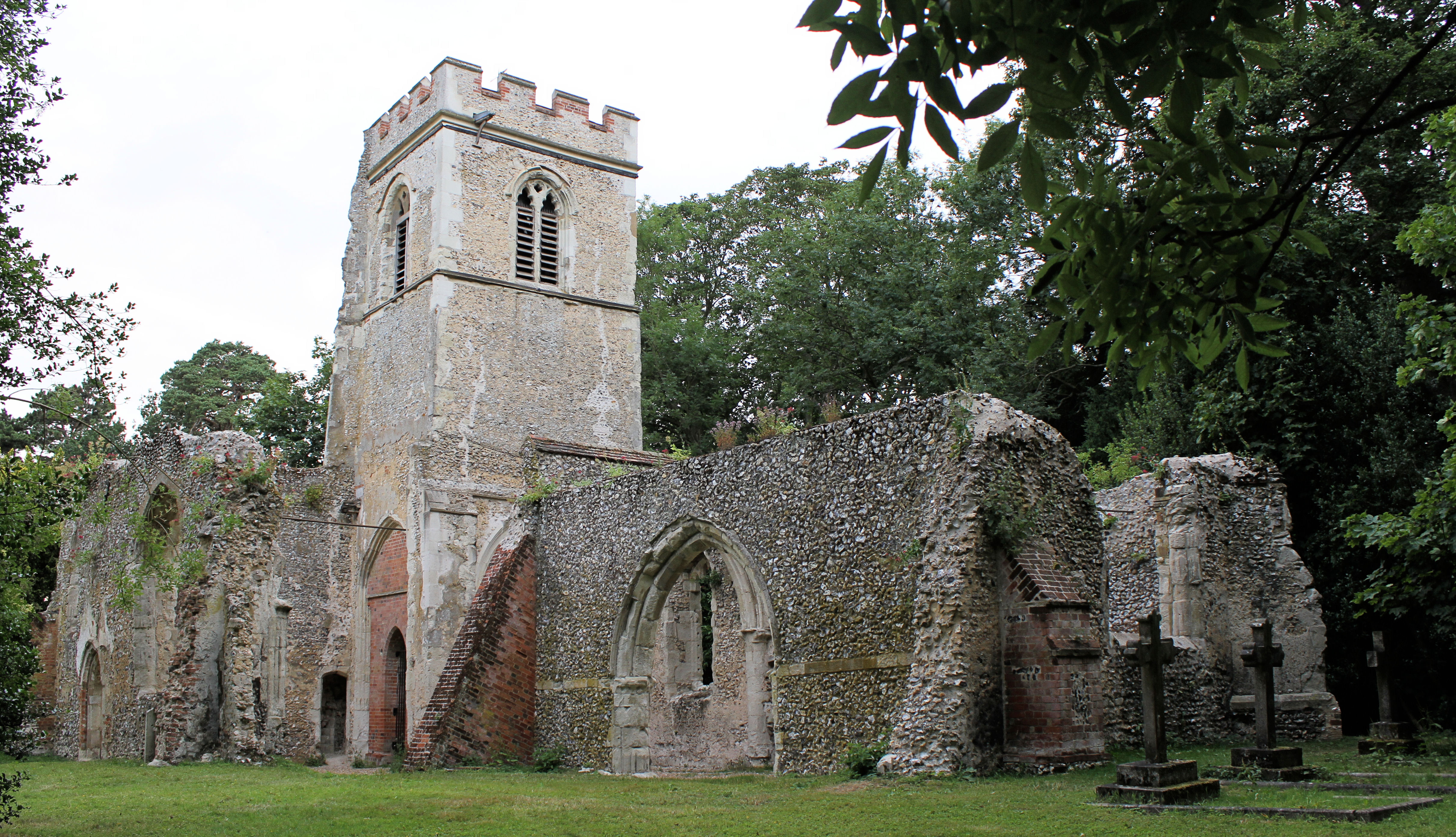
Old St Lawrence Church, Ayot St Lawrence

Old St Lawrence Church is a ruined building in Ayot St Lawrence, Hertfordshire, England. It is protected as a Grade II* listed building, and dates back...

Ayot St Lawrence

Ayot St Lawrence is a small English village and civil parish in Hertfordshire, two miles (three kilometres) west of Welwyn. There are several other Ayots...

Shaw's Corner

Shaw's Corner was the primary residence of the renowned Irish playwright George Bernard Shaw; it is now a National Trust property open to the public as...

Nearby Amenities

Located within 500m of 51.836514,-0.256344
Passing Place
Lat/Long: 51.8391208/-0.2570422
Passing Place
Lat/Long: 51.8394128/-0.2553155
Passing Place
Lat/Long: 51.8399713/-0.2528686
Passing Place
Lat/Long: 51.8388837/-0.2578675
Passing Place
Lat/Long: 51.8368921/-0.2630422
Passing Place
Lat/Long: 51.8372869/-0.2617184
Passing Place
Lat/Long: 51.8375729/-0.2610849
Passing Place
Lat/Long: 51.8378619/-0.2603393
Passing Place
Lat/Long: 51.8386268/-0.2584907
Passing Place
Lat/Long: 51.8395272/-0.2548514
The data included in this document is from www.openstreetmap.org. The data is made available under ODbL.

Have you been to Ayot St Lawrence?

Leave your review of Ayot St Lawrence below (or comments, questions and feedback).