Aylesby
Civil Parish in Lincolnshire
England
Aylesby

Aylesby is a civil parish located in the county of Lincolnshire, England. It is situated approximately 6 miles northeast of the town of Grimsby and covers an area of about 8.5 square kilometers. The parish is surrounded by the neighboring parishes of Bradley, Waltham, Habrough, and Wootton.
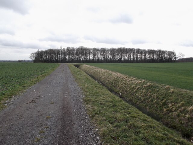
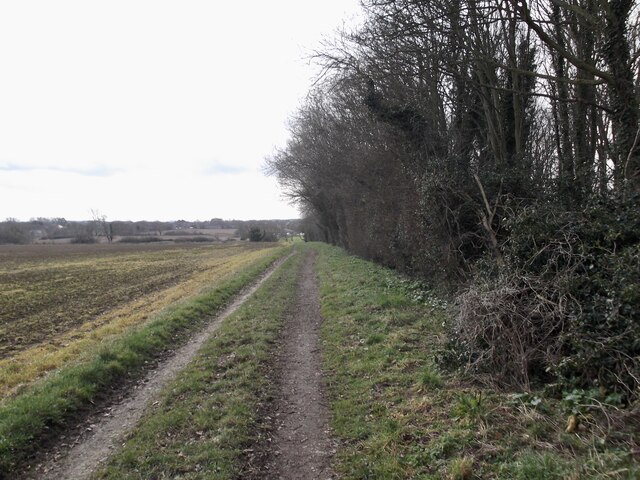
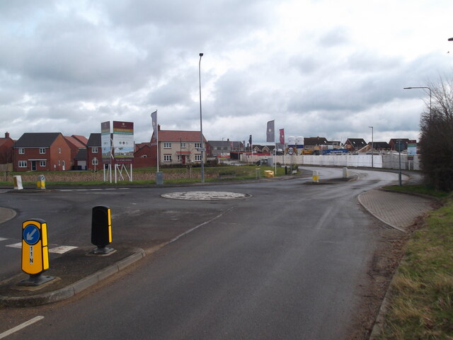
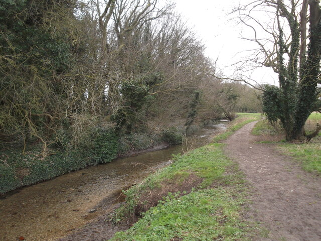
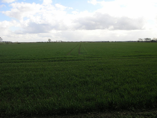
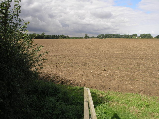
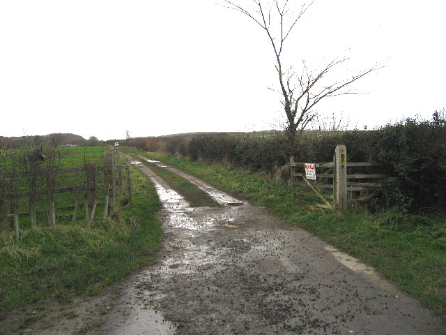
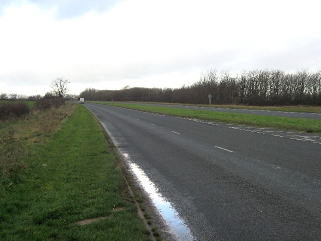
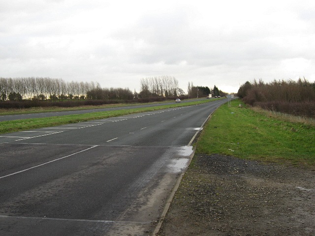
Aylesby is a rural area characterized by its picturesque countryside and rolling hills. The landscape is primarily agricultural, with fields of crops and grazing livestock dominating the scenery. The village itself is small, with a population of around 200 people.
The parish has a rich history, dating back to the medieval period. The village church, dedicated to St. Lawrence, is a notable landmark and dates back to the 12th century. It is known for its Norman architecture and has been well-preserved over the years.
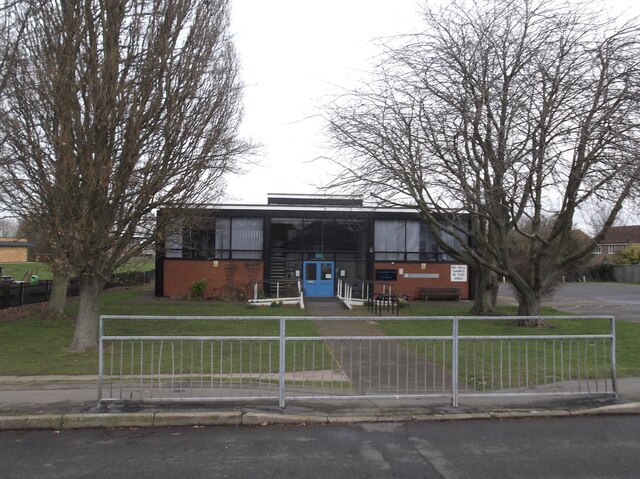
Aylesby is a close-knit community with a strong sense of community spirit. It has a small primary school that serves the local area, providing education to children aged 4 to 11. The village also has a village hall, which serves as a hub for community events and gatherings.
Despite its rural location, Aylesby benefits from good transport links. The A46 road runs to the west of the parish, providing easy access to nearby towns and cities. The village is also within close proximity to the Humber Bridge, which offers a direct link to the city of Hull.
Overall, Aylesby is a charming and peaceful civil parish, offering a tranquil rural lifestyle while still providing convenient access to nearby amenities and transport links.
If you have any feedback on the listing, please let us know in the comments section below.
Aylesby Images
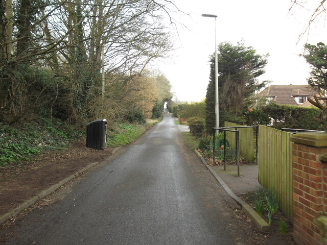
Images are sourced within 2km of 53.556062/-0.177324 or Grid Reference TA2008. Thanks to Geograph Open Source API. All images are credited.


Aylesby is located at Grid Ref: TA2008 (Lat: 53.556062, Lng: -0.177324)
Unitary Authority: North East Lincolnshire
Police Authority: Humberside
What 3 Words
///tapes.gracing.slant. Near Laceby, Lincolnshire
Nearby Locations
Related Wikis

Borough of Cleethorpes
Cleethorpes was a local government district in Humberside, England from 1974 to 1996. It was granted borough status in 1975. It was formed on 1 April...

Aylesby
Aylesby is a village and civil parish in North East Lincolnshire, England. It is situated near the A18 road, approximately 4 miles (6 km) west from Cleethorpes...

Church of St Margaret, Laceby
The Church of St Margaret is the Anglican Grade I listed parish church for the village of Laceby in Lincolnshire. Listed since 1967 and dedicated to St...

Laceby
Laceby is a village and civil parish in North East Lincolnshire, England. It is situated on the A46 road, just outside the western boundary of Grimsby...
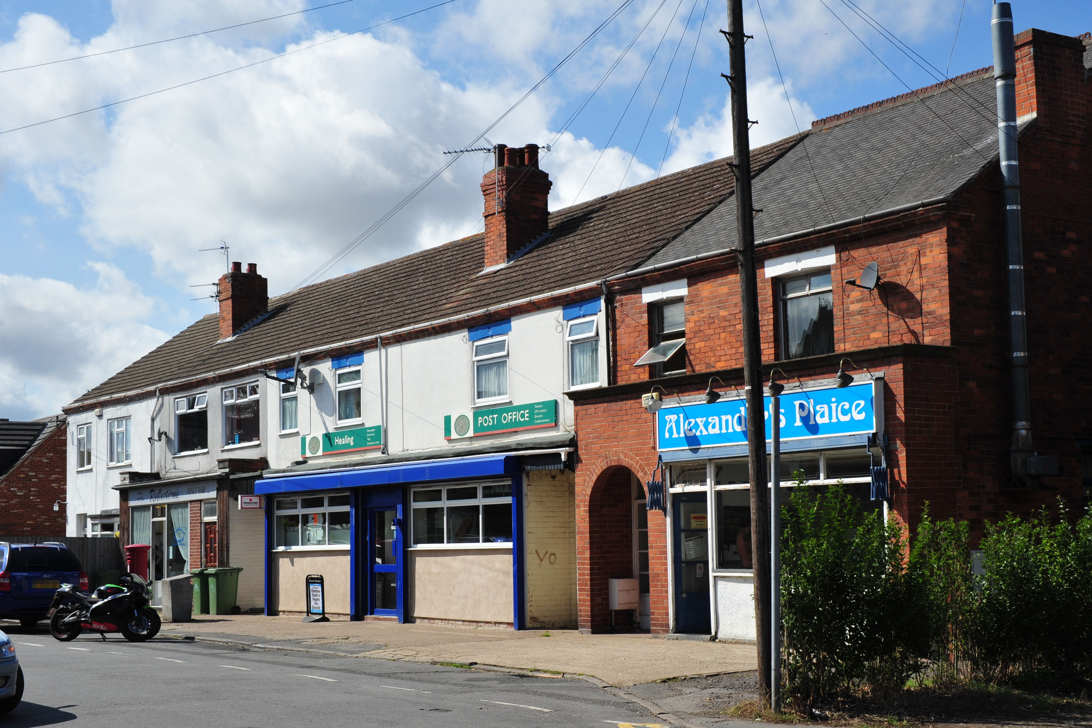
Healing, Lincolnshire
Healing is a village and civil parish in North East Lincolnshire, England. It is situated between Stallingborough and Great Coates, and 3 miles (5 km)...

Healing School
Healing School, A Science Academy is a co-educational secondary school and specialist academy located on Low Road in the village of Healing, North East...

Riby
Riby is a village and civil parish in the West Lindsey district of Lincolnshire, England. The population of the civil parish was 129 at the 2011 census...

Great Coates
Great Coates is a village and civil parish in North East Lincolnshire, England. It is to the north-west and adjoins the Grimsby urban area, and is served...
Nearby Amenities
Located within 500m of 53.556062,-0.177324Have you been to Aylesby?
Leave your review of Aylesby below (or comments, questions and feedback).