Averham
Civil Parish in Nottinghamshire Newark and Sherwood
England
Averham
Averham is a civil parish located in the county of Nottinghamshire, England. Situated approximately 4 miles east of the market town of Newark-on-Trent, Averham covers an area of around 1,600 acres.
The parish is predominantly rural, with a population of around 200 residents. The landscape is characterized by rolling hills and fertile farmland, making it an ideal location for agricultural activities. The River Trent runs through the western edge of the parish, providing picturesque views and opportunities for recreational activities such as fishing and boating.
The village of Averham itself is small and charming, with a few historic buildings that date back to the 18th and 19th centuries. These include the Grade II listed Averham House, a Georgian-style mansion that is now privately owned. The parish church, St. Michael and All Angels, is also a notable landmark, with parts of the building dating back to the 12th century.
Averham is well-connected to the surrounding areas, with good transportation links. The nearby A46 road provides easy access to Newark and the city of Nottingham, while the Newark North Gate railway station offers regular train services to various destinations across the country.
Overall, Averham offers a peaceful and picturesque countryside setting, with a strong sense of community and a rich history. It is an attractive location for those seeking a rural lifestyle while still being within easy reach of larger towns and cities.
If you have any feedback on the listing, please let us know in the comments section below.
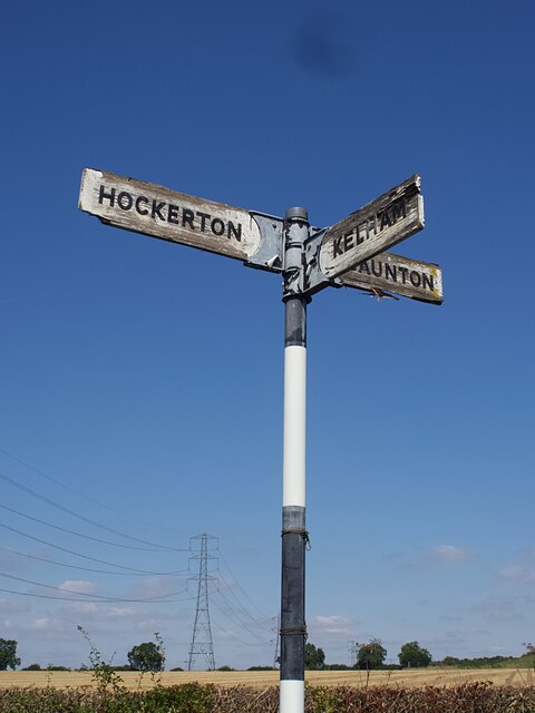
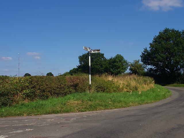
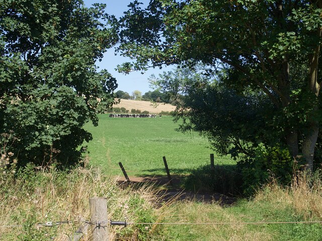
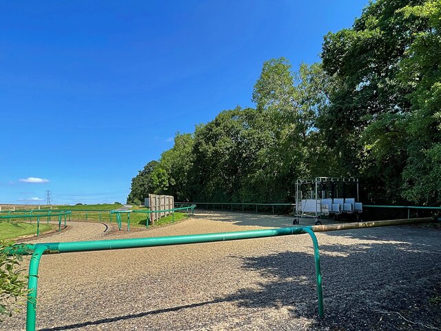
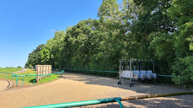
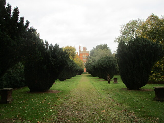
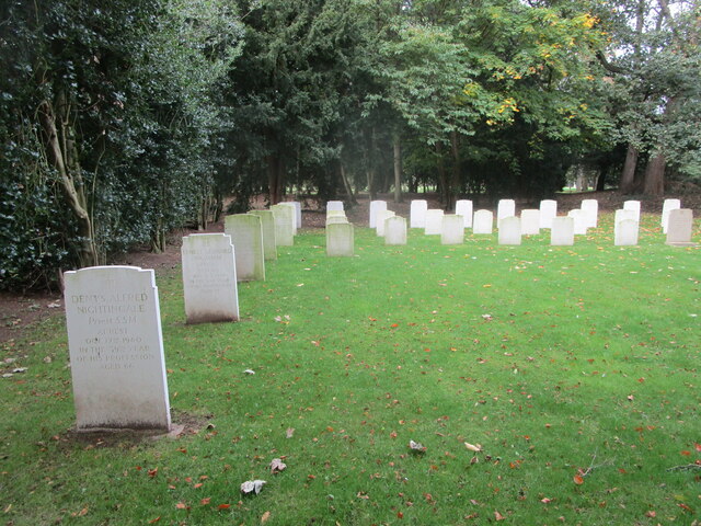
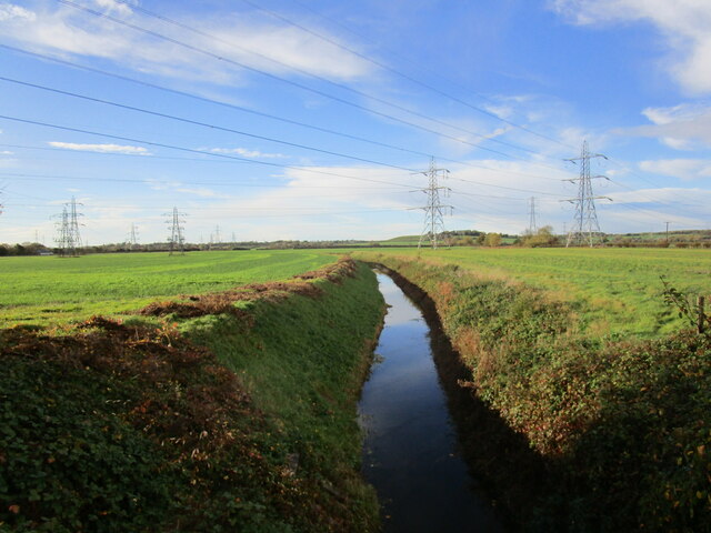
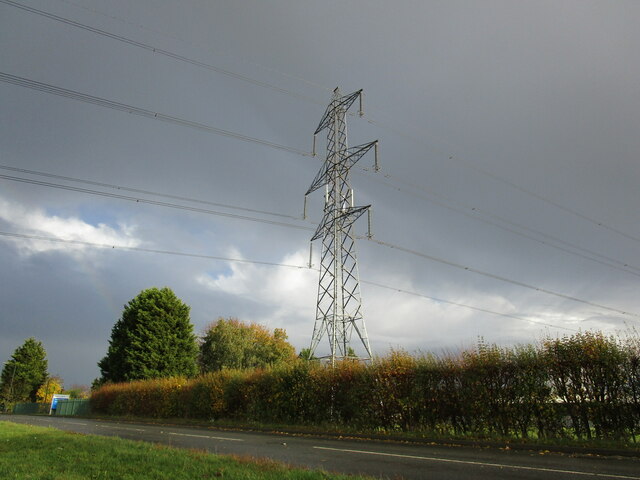
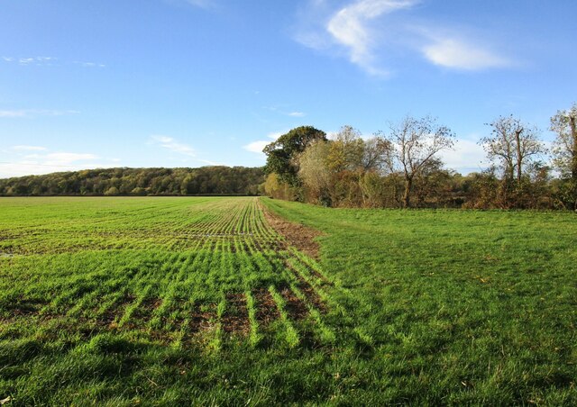
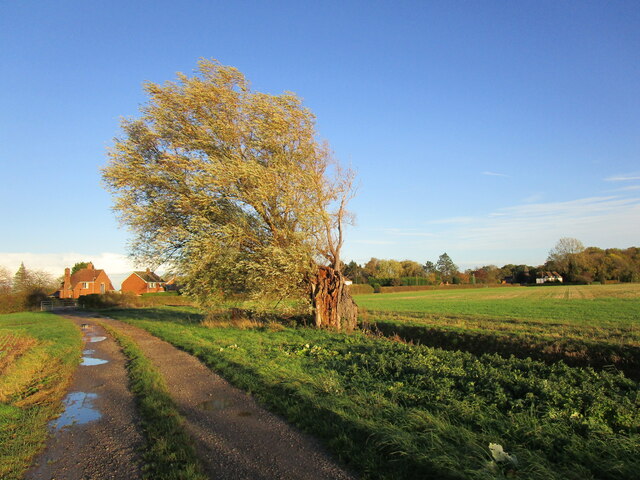
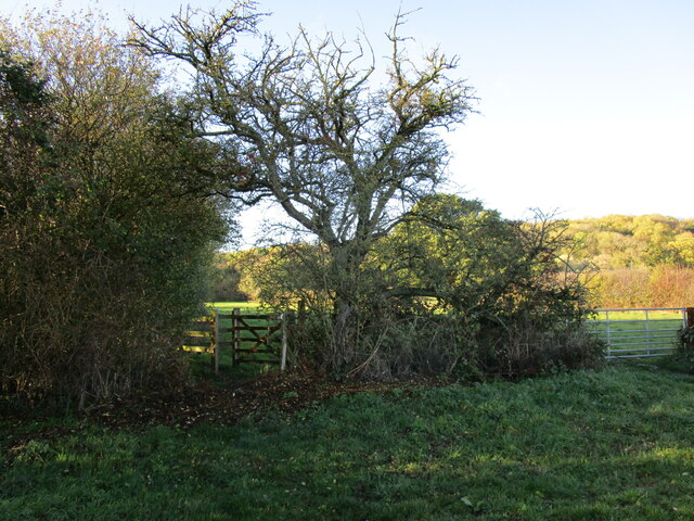
Averham Images
Images are sourced within 2km of 53.088273/-0.868732 or Grid Reference SK7555. Thanks to Geograph Open Source API. All images are credited.


Averham is located at Grid Ref: SK7555 (Lat: 53.088273, Lng: -0.868732)
Administrative County: Nottinghamshire
District: Newark and Sherwood
Police Authority: Nottinghamshire
What 3 Words
///myths.strides.typified. Near Newark on Trent, Nottinghamshire
Nearby Locations
Related Wikis
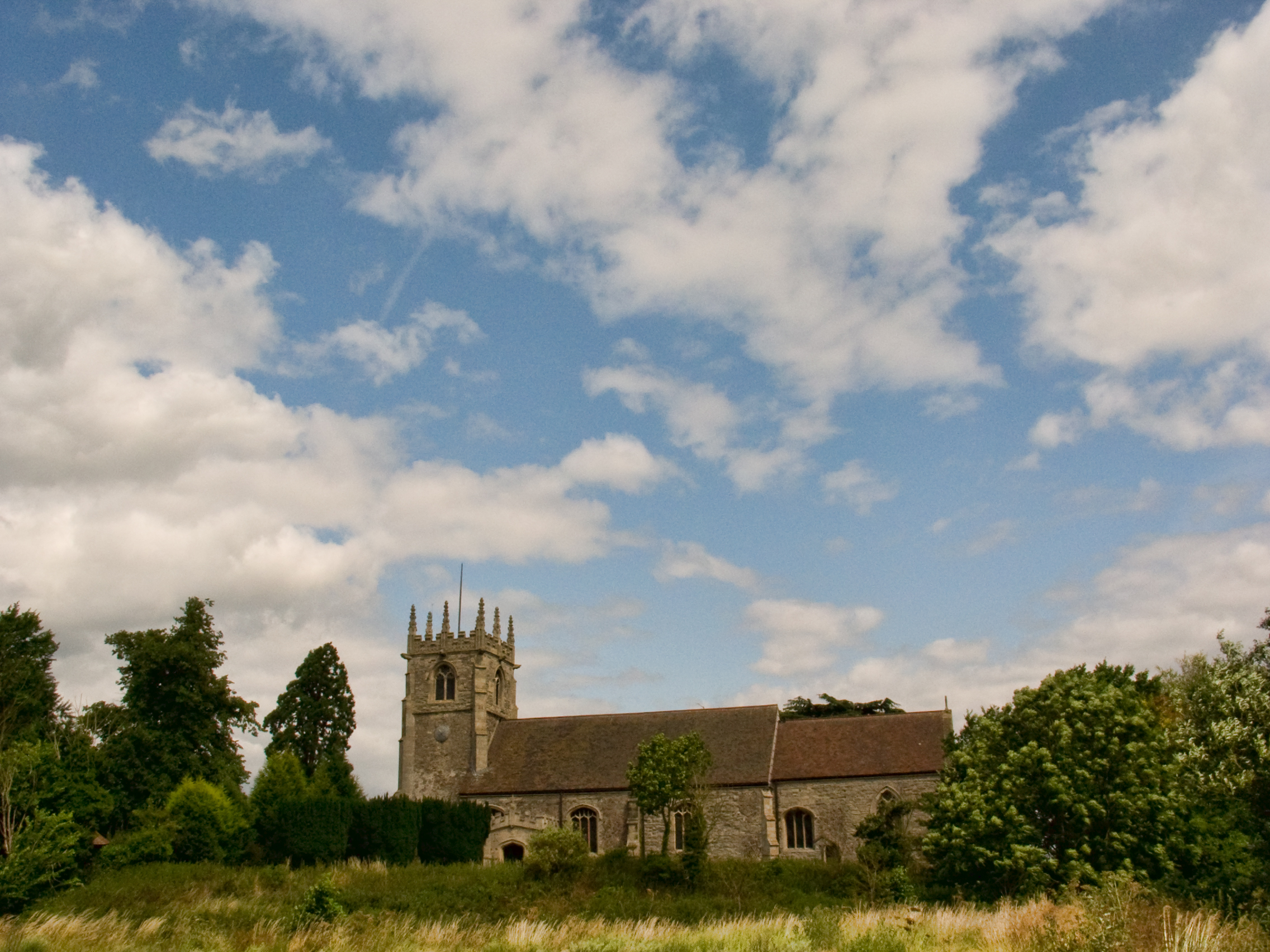
Church of St Michael and All Angels, Averham
The Church of St. Michael and All Angels, Averham is a parish church in the Church of England in Averham, Nottinghamshire. The church is Grade I listed...

Averham
Averham is a village and civil parish in the Newark and Sherwood district of Nottinghamshire, England. According to the 2001 census it had a population...

Staythorpe
Staythorpe is a hamlet and civil parish in the Newark and Sherwood district of Nottinghamshire, England. == Toponymy == Staythorpe was listed in the Domesday...

St Wilfrid's Church, Kelham
St. Wilfrid's Church, Kelham is a parish church in the Church of England in Kelham, Nottinghamshire. The church is Grade I listed by the Department for...
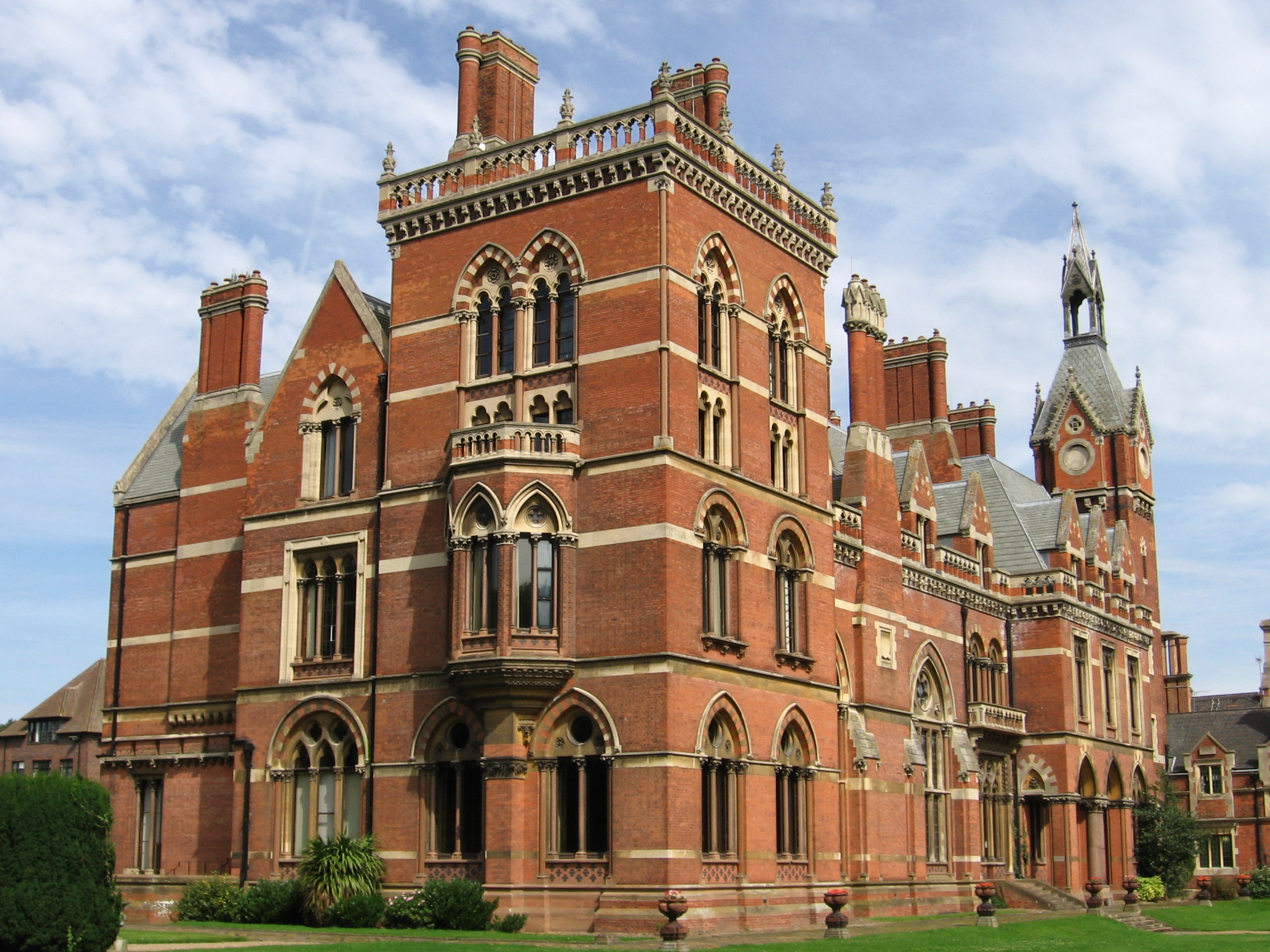
Kelham Hall
Kelham Hall is a country house designed by George Gilbert Scott. It is in the village of Kelham, Nottinghamshire, England. It is protected as a Grade I...
Kelham
Kelham is a small village and civil parish in Nottinghamshire about 3 miles (4.8 km) northwest of Newark on a bend in the A617 road near its crossing of...

Staythorpe Power Station
Staythorpe C Power Station is a 1,735 MWe gas-fired power station at Staythorpe between Southwell and Newark-on-Trent in Nottinghamshire, England, between...
Upton, Newark and Sherwood
Upton is a small village in Nottinghamshire, England, 2 miles (3.2 km) east of Southwell, 5 miles (8.0 km) west of Newark and 3 miles (4.8 km) south of...
Nearby Amenities
Located within 500m of 53.088273,-0.868732Have you been to Averham?
Leave your review of Averham below (or comments, questions and feedback).