Austerfield

Civil Parish in Yorkshire Doncaster

England

Austerfield

Footpath, Fields and Footbridge at Low Common
Footpath, Fields and Footbridge at Low Common Credit: Jonathan Clitheroe

Austerfield is a small civil parish located in the county of Yorkshire, England. It is situated approximately 5 miles west of the town of Doncaster and covers an area of about 4 square kilometers. The parish is primarily rural, with a mix of agricultural land and scattered residential properties.

Historically, Austerfield is known for its association with the Pilgrim Fathers, a group of English separatists who sailed on the Mayflower to settle in America in 1620. William Bradford, one of the leaders of the Pilgrims, was born in Austerfield in 1590. The village has a rich historical heritage, and various sites and landmarks linked to this period can still be found, including the church where Bradford was baptized.

In terms of amenities, Austerfield has limited facilities. However, there is a village hall that serves as a community hub, hosting various events and activities. The parish also benefits from its proximity to Doncaster, which offers a wider range of services, including shops, schools, and healthcare facilities.

The natural beauty of the surrounding countryside makes Austerfield an attractive place for outdoor enthusiasts. The area is dotted with picturesque walking trails and is close to the River Idle, providing opportunities for fishing and boating. The peaceful and tranquil setting of Austerfield makes it an ideal location for those seeking a quiet, rural lifestyle.

If you have any feedback on the listing, please let us know in the comments section below.
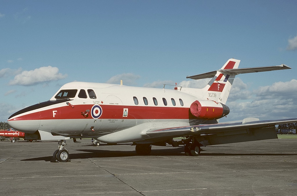
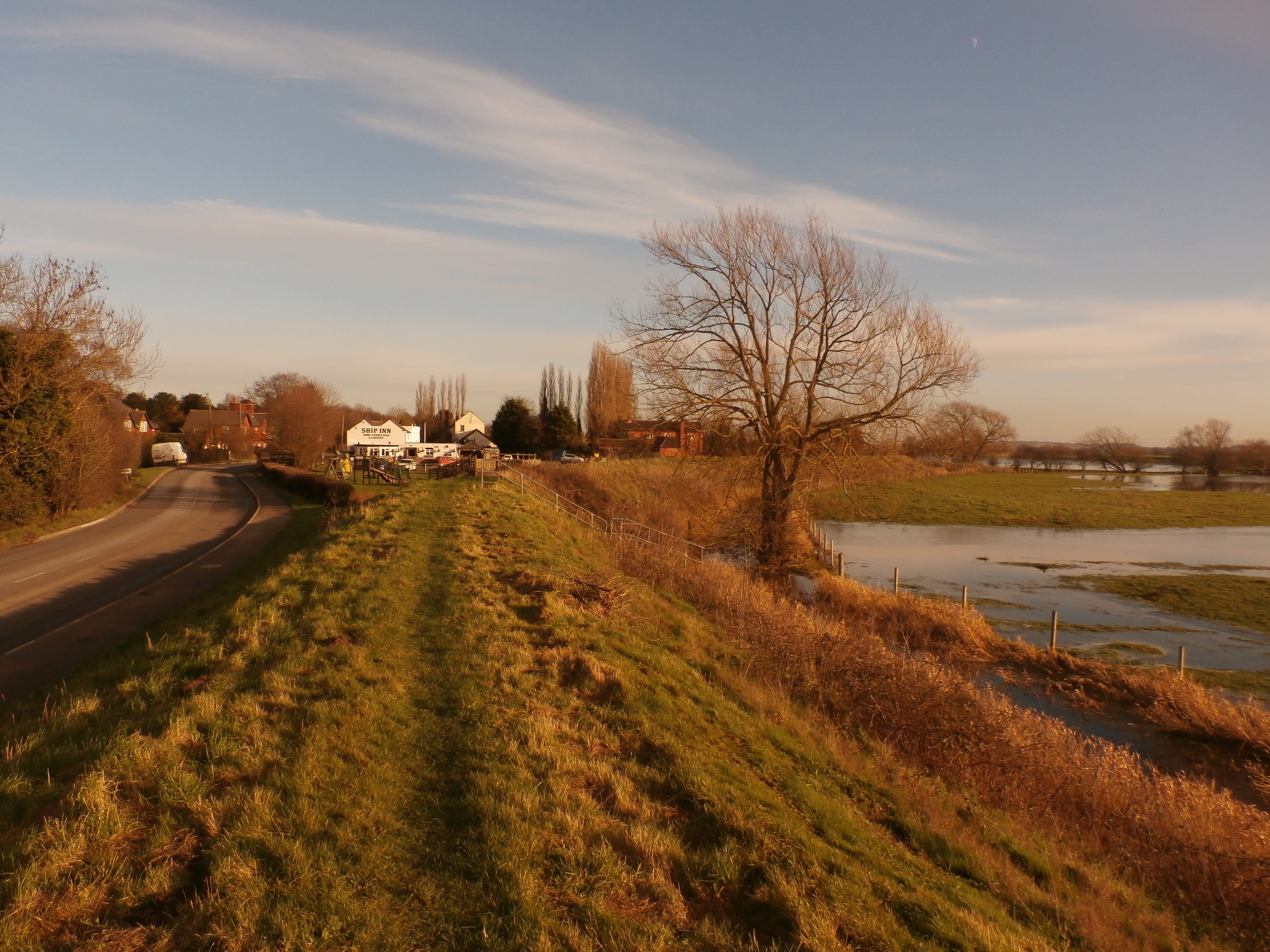
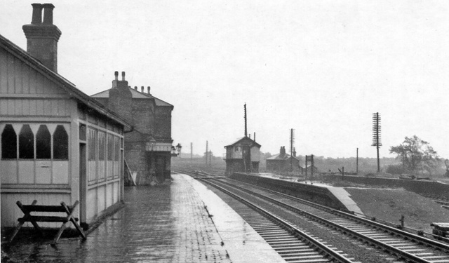
Austerfield Images

Images are sourced within 2km of 53.45989/-1.009813 or Grid Reference SK6596. Thanks to Geograph Open Source API. All images are credited.

Footpath, Fields and Footbridge at Low Common
The Parish Church of Saint Helena, Austerfield
Tympanum over the south doorway, Austerfield church It is believed that this curious tympanum is eighth century though The Parish Church of Saint Helena is reckoned to be eleventh century. It has been suggested that the tympanum's carvings, surrounding the figure of a dragon, symbolise the means by which Easter Day  is calculated in the Christian church.
Tympanum over the south doorway, Austerfield church
It is believed that this curious tympanum is eighth century though The Parish Church of Saint Helena is reckoned to be eleventh century. It has been suggested that the tympanum's carvings, surrounding the figure of a dragon, symbolise the means by which Easter Day is calculated in the Christian church.
At the southern end of the runway A view of Doncaster and Sheffield's Robin Hood Airport - formerly RAF Finningley.
At the southern end of the runway
A view of Doncaster and Sheffield's Robin Hood Airport - formerly RAF Finningley.
Ordnance Survey 1GL Bolt This OS Bolt can be found on the west face of St Helena's Church. It marks a point 10.8600m above mean sea level.
Ordnance Survey 1GL Bolt
This OS Bolt can be found on the west face of St Helena's Church. It marks a point 10.8600m above mean sea level.
Lane to Woodhouse Farm This lane and bridleway is accessed from the A638 Great North Road.
Lane to Woodhouse Farm
This lane and bridleway is accessed from the A638 Great North Road.
The Great North Road near Bawtry The main east coast railway line passes beneath the road here, beyond which is Bawtry Forest.
The Great North Road near Bawtry
The main east coast railway line passes beneath the road here, beyond which is Bawtry Forest.
Coffee Shop, Sales Centre and Sculptures Yorkshire Caravans on the A638 Great North Road.
Coffee Shop, Sales Centre and Sculptures
Yorkshire Caravans on the A638 Great North Road.
Entrance to RSPCA Centre Situated at Black Firs Farm off the Great North Road from where the picture is taken.
Entrance to RSPCA Centre
Situated at Black Firs Farm off the Great North Road from where the picture is taken.
Field of Maize Pictured near the junction of High Common Lane and the Great North Road.
Field of Maize
Pictured near the junction of High Common Lane and the Great North Road.
An energising crop
An energising crop
Just another bridge
Just another bridge
Unexplained marker stone
Low Common Lane
Low Common Lane
Entrance to Bawtry Golf Club
Cross Lane Leading to Bawtry Golf Club
Cross Lane
Leading to Bawtry Golf Club
Emergency Access 2, Robin Hood Airport
Marshall's Caravan Site Looks to be abandoned?
Marshall's Caravan Site
Looks to be abandoned?
Show me another place!

Austerfield is located at Grid Ref: SK6596 (Lat: 53.45989, Lng: -1.009813)

Division: West Riding

Administrative County: South Yorkshire

District: Doncaster

Police Authority: South Yorkshire

What 3 Words

///script.thumbnail.proofread. Near Bawtry, South Yorkshire

Nearby Locations

Austerfield

Related Wikis

Doncaster Sheffield Airport

Doncaster Sheffield Airport (IATA: DSA, ICAO: EGCN), formerly named and commonly referred to as Robin Hood Airport, was an international airport in Finningley...

Doncaster Sheffield Airport railway station

Doncaster Sheffield Airport railway station (also known as Aerotropolis) was a proposed railway station in the Doncaster Sheffield Airport (DSA) terminal...

No. 215 Advanced Flying School RAF

No. 215 Advanced Flying School RAF was a flying school of the Royal Air Force which was disbanded in 1954 at RAF Finningley. == Previous identities... ==

RAF Finningley

Royal Air Force Finningley or RAF Finningley was a Royal Flying Corps and Royal Air Force station at Finningley, in the Metropolitan Borough of Doncaster...

Austerfield

Austerfield is a village and civil parish in the City of Doncaster, South Yorkshire, England. It is 1 mile (1.6 km) to the north-east of the market town...

Newington, Nottinghamshire

Newington is a hamlet in the Bassetlaw district of northern Nottinghamshire, England. It is 138 miles (222 km) north west of London, 34 miles (55 km) north...

Bawtry railway station

Bawtry railway station was situated to the east of the town of Bawtry, South Yorkshire, England on the Great Northern Railway main line between Retford...

Hill House School, South Yorkshire

Hill House School is a co-educational independent school for pupils from the ages of 3 to 18 in South Yorkshire, England. In 2012, Hill House was named...

Nearby Amenities

Located within 500m of 53.45989,-1.009813
Aeroway: holding_position
Holding Position Type: ILS
Ref: A2
Lat/Long: 53.4636941/-1.0126305
Bus Stop
Thorne Road/High Common Lane
Naptan AtcoCode: 370040363
Naptan Bearing: S
Naptan CommonName: Thorne Road/High Common Lane
Naptan Indicator: 40363
Naptan Landmark: WATERWORKS
Naptan PlusbusZoneRef: ROTHCEN
Naptan Street: Thorne Road
Naptan Verified: no
Source: naptan_import
Lat/Long: 53.4586305/-1.0061025
Bus Stop
Thorne Road/High Common Lane
Naptan AtcoCode: 370045768
Naptan Bearing: N
Naptan BusStopType: CUS
Naptan CommonName: Thorne Road/High Common Lane
Naptan Indicator: 45768
Naptan Landmark: WATERWORKS/TRAFFIC ISLAND
Naptan PlusbusZoneRef: ROTHCEN
Naptan Street: Thorne Road
Naptan Verified: no
Source: naptan_import
Lat/Long: 53.458633/-1.0064037
Aeroway: navigationaid
Navigationaid: als
Lat/Long: 53.4627074/-1.0108579
Aeroway: navigationaid
Navigationaid: als
Lat/Long: 53.4621428/-1.0111688
Aeroway: holding_position
Holding Position Type: runway
Ref: A1
Lat/Long: 53.4634062/-1.012238
Aeroway: navigationaid
Navigationaid: als
Lat/Long: 53.4616789/-1.0114158
Aeroway: navigationaid
Navigationaid: als
Lat/Long: 53.4624519/-1.0109994
Aeroway: navigationaid
Navigationaid: als
Lat/Long: 53.4593127/-1.0126662
Aeroway: navigationaid
Navigationaid: als
Lat/Long: 53.4619333/-1.0112819
Airmark: beacon
Beacon Type: ILS
Localizer: yes
Ref: I-FNL
Runway Ref: 02
Lat/Long: 53.4614485/-1.0115349
Aeroway: threshold
Ele: 15.85
Ref: 02
Lat/Long: 53.4641972/-1.0100472
Parking
Parking: layby
Lat/Long: 53.4614109/-1.0030167
Partridge Hill Farm
Place: farm
Source: Bing
Lat/Long: 53.4614636/-1.016501
The data included in this document is from www.openstreetmap.org. The data is made available under ODbL.

Have you been to Austerfield?

Leave your review of Austerfield below (or comments, questions and feedback).