Atherstone on Stour

Civil Parish in Warwickshire Stratford-on-Avon

England

Atherstone on Stour

Radbrook Cottages Radbrook Cottages are on a road to Radbrook Manor, originally they my have been estate cottages.
Radbrook Cottages Credit: Philip Halling

Atherstone on Stour is a civil parish located in the county of Warwickshire, England. Situated approximately 10 miles south-west of Stratford-upon-Avon, it is a small village with a population of around 800 people. The village lies on the banks of the River Stour, which runs through the parish.

Atherstone on Stour has a long history, with evidence of settlements dating back to the Roman period. In the Domesday Book, it was recorded as "Estretone," indicating its importance even in medieval times. The village is known for its picturesque countryside, with rolling fields and meadows surrounding it.

The parish is primarily residential, with a mix of traditional thatched cottages and modern houses. There are a few local amenities, including a village hall, a primary school, and a pub. The local economy is mainly based on agriculture, with some residents working in nearby towns.

The village is well-connected, with good transport links to the surrounding areas. The A3400 road passes through Atherstone on Stour, connecting it to Stratford-upon-Avon and Evesham. There are also regular bus services that connect the village to other nearby towns.

Atherstone on Stour is a peaceful and close-knit community, with a strong sense of community spirit. The parish holds various events throughout the year, including a summer fete and a Christmas market. The village also has several local clubs and societies, providing opportunities for residents to socialize and engage in activities.

Overall, Atherstone on Stour is a charming and idyllic village in Warwickshire, offering a tranquil rural lifestyle with easy access to nearby amenities and attractions.

If you have any feedback on the listing, please let us know in the comments section below.

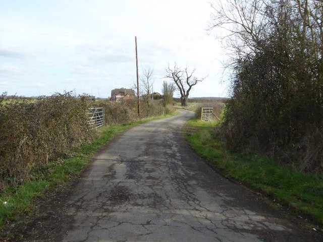
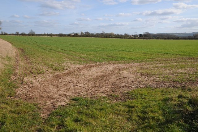
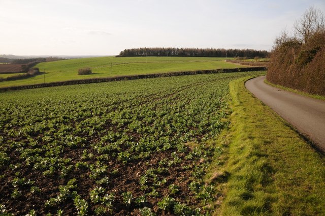
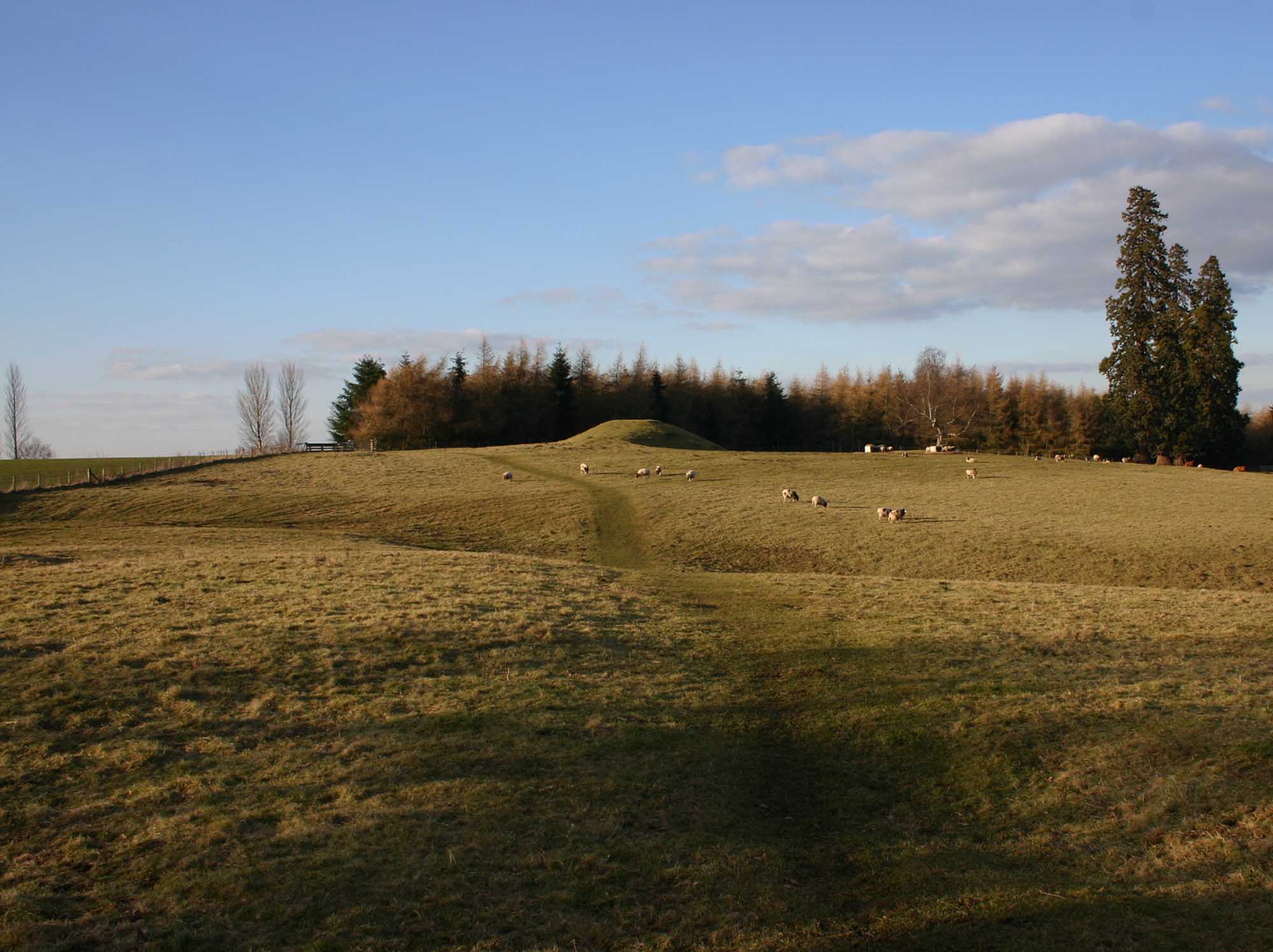
Atherstone on Stour Images

Images are sourced within 2km of 52.152609/-1.715581 or Grid Reference SP1950. Thanks to Geograph Open Source API. All images are credited.

Radbrook Cottages Radbrook Cottages are on a road to Radbrook Manor, originally they my have been estate cottages.
Radbrook Cottages
Radbrook Cottages are on a road to Radbrook Manor, originally they my have been estate cottages.
Cottage beside a road to Radbrook Manor This appears to be a recently built cottage built in a similar style to the adjacent Radbrook Cottages.  The road gives access to Radbrook Manor.
Cottage beside a road to Radbrook Manor
This appears to be a recently built cottage built in a similar style to the adjacent Radbrook Cottages. The road gives access to Radbrook Manor.
The B4632 passing Willicote Farm
Farm access road Farm access road off the B4632 near Willicote Farm.
Farm access road
Farm access road off the B4632 near Willicote Farm.
Field near Radbrook Manor Arable field beside a no through road to Radbrook Manor.
Field near Radbrook Manor
Arable field beside a no through road to Radbrook Manor.
No through road to Radbrook
Gas pipeline crossing a road at Radbrook A gas pipeline marker beside a country road to Radbrook.
Gas pipeline crossing a road at Radbrook
A gas pipeline marker beside a country road to Radbrook.
Road and farmland, Preston-on-Stour Country road and farmland to the west of Preston-on-Stour.
Road and farmland, Preston-on-Stour
Country road and farmland to the west of Preston-on-Stour.
Gated track to Church Farm
Minor road towards Preston-on-Stour
Preston-on-Stour, St. Mary's Church: Southern aspect
Preston-on-Stour, St. Mary's Church: Western aspect
Preston-on-Stour, St. Mary's Church: Montage including houses in the village to celebrate the millennium
Preston-on-Stour, St. Mary's Church: c18th baluster font
Preston-on-Stour, St. Mary's Church: c18th baluster font and balcony by Salmon of Stratford
Preston-on-Stour, St. Mary's Church: Royal Coat of Arms
Preston-on-Stour, St. Mary's Church: General Alston-Roberts-West memorial 1 'The Crucifixion' made from driftwood by Peter Bell.
Preston-on-Stour, St. Mary's Church: General Alston-Roberts-West memorial 1
'The Crucifixion' made from driftwood by Peter Bell.
Preston-on-Stour, St. Mary's Church: General Alston-Roberts-West memorial 2
Show me another place!

Atherstone on Stour is located at Grid Ref: SP1950 (Lat: 52.152609, Lng: -1.715581)

Administrative County: Warwickshire

District: Stratford-on-Avon

Police Authority: Warwickshire

What 3 Words

///duos.workbench.lifelong. Near Stratford-upon-Avon, Warwickshire

Nearby Locations

Atherstone on Stour

Related Wikis

Preston on Stour

Preston on Stour is a village and civil parish in Warwickshire, England. == History == It is situated some four kilometres south of the town of Stratford...

Atherstone on Stour

Atherstone on Stour is a small village and civil parish about 3 miles (5 km) south of Stratford-upon-Avon in Warwickshire, England. The 2011 Census recorded...

Stratford-on-Avon (UK Parliament constituency)

Stratford-on-Avon is a constituency represented in the House of Commons of the UK Parliament since 2010 by Nadhim Zahawi, a member of the Conservative...
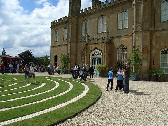
Alscot Park

Alscot Park is a Georgian country house in Preston on Stour, some 3 miles (5 km) south of Stratford-upon-Avon in Warwickshire, England. It is Grade I listed...

Clifford Chambers

Clifford Chambers is a village and former civil parish two miles south of Stratford-upon-Avon town centre, in Warwickshire, England. It is on the B4632...

2007 Warwickshire warehouse fire

On 2 November 2007 a major fire occurred at a warehouse near the village of Atherstone on Stour in Warwickshire, England. Four firefighters from the Warwickshire...

Ailstone

Ailstone is a village in Warwickshire, England. Population details can be found under Preston-on-Stour == External links == Media related to Ailstone...

Clifford Chambers and Milcote

Clifford Chambers and Milcote is a civil parish in the Stratford-on-Avon District, in the county of Warwickshire, England, formed on 1 April 2004. It is...

Nearby Amenities

Located within 500m of 52.152609,-1.715581
Barrier: stile
Foot: yes
Lat/Long: 52.155758/-1.7200171
Barrier: stile
Foot: yes
Lat/Long: 52.153735/-1.7197184
Material: wood
Power: pole
Source: bing
Lat/Long: 52.1557962/-1.719591
Material: wood
Power: pole
Source: bing
Lat/Long: 52.1550902/-1.7191538
Material: wood
Power: pole
Source: bing
Lat/Long: 52.1543044/-1.718659
Material: wood
Power: pole
Source: bing
Lat/Long: 52.153396/-1.7180957
Material: wood
Power: pole
Source: bing
Lat/Long: 52.1528093/-1.7177282
Material: wood
Power: pole
Source: bing
Lat/Long: 52.1520169/-1.7172414
Material: wood
Power: pole
Source: bing
Lat/Long: 52.1513389/-1.7165776
Material: wood
Power: pole
Source: bing
Lat/Long: 52.15079/-1.7160586
Power: pole
Source: bing
Lat/Long: 52.1501613/-1.7154631
Power: pole
Source: bing
Lat/Long: 52.1495121/-1.7148247
Power: pole
Source: bing
Lat/Long: 52.1488669/-1.7142092
Power: pole
Source: bing
Lat/Long: 52.1482769/-1.7136298
Material: wood
Power: pole
Source: bing
Lat/Long: 52.1556563/-1.7205486
Power: pole
Source: bing
Lat/Long: 52.1522613/-1.7115927
Power: pole
Source: bing
Lat/Long: 52.1531335/-1.7099404
Power: pole
Source: bing
Lat/Long: 52.1517199/-1.7125878
Power: pole
Ref: 772645
Transformer: distribution
Lat/Long: 52.1512821/-1.7134139
Material: wood
Power: pole
Source: bing
Lat/Long: 52.1508016/-1.7142856
Material: wood
Power: pole
Source: bing
Lat/Long: 52.1507209/-1.7144573
The data included in this document is from www.openstreetmap.org. The data is made available under ODbL.

Have you been to Atherstone on Stour?

Leave your review of Atherstone on Stour below (or comments, questions and feedback).