Atherington
Civil Parish in Devon North Devon
England
Atherington
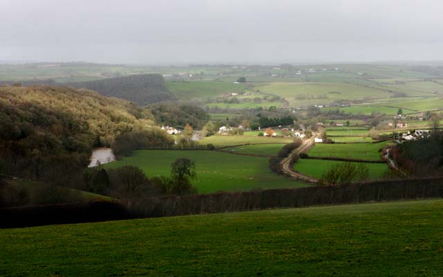
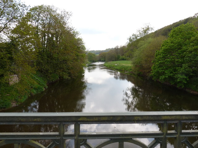
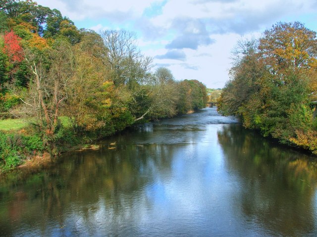
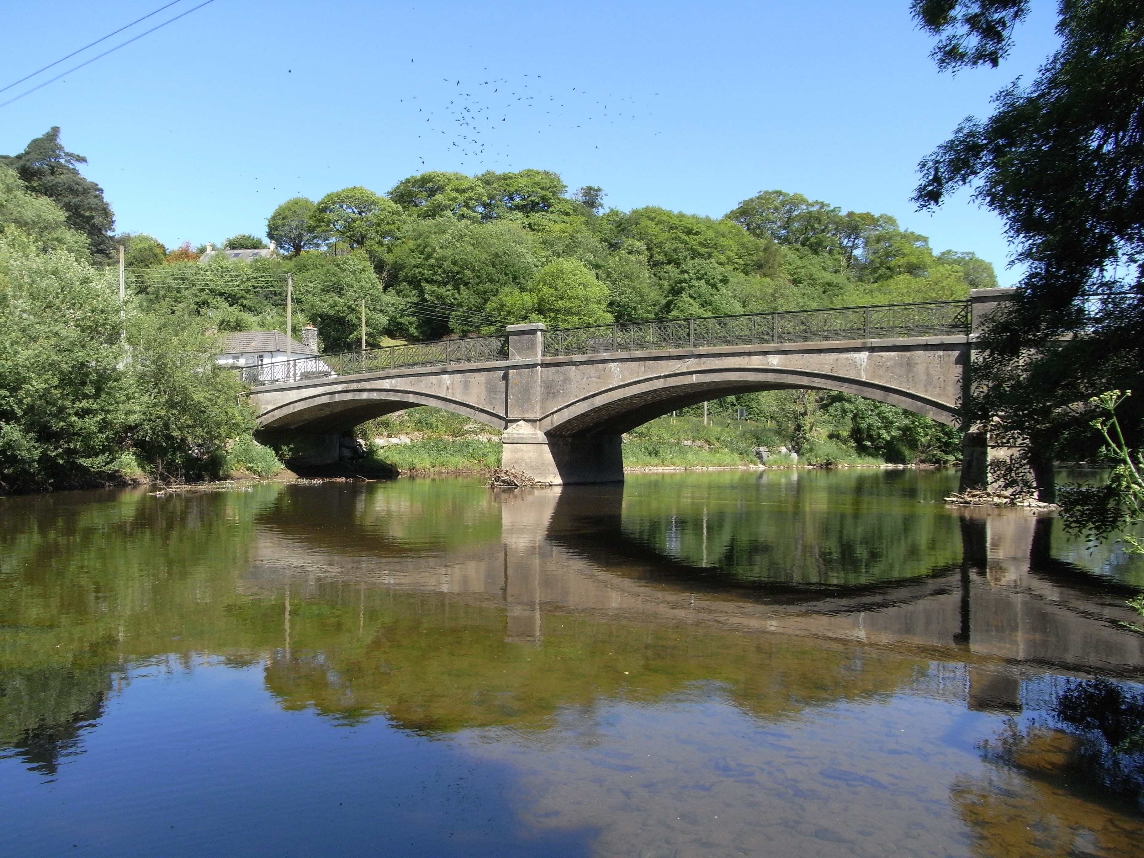
Atherington is a civil parish located in the county of Devon, England. Situated approximately 7 miles south-west of Barnstaple, the parish covers an area of around 12 square miles. Atherington is a rural community, characterized by its picturesque countryside, rolling hills, and scenic landscapes.
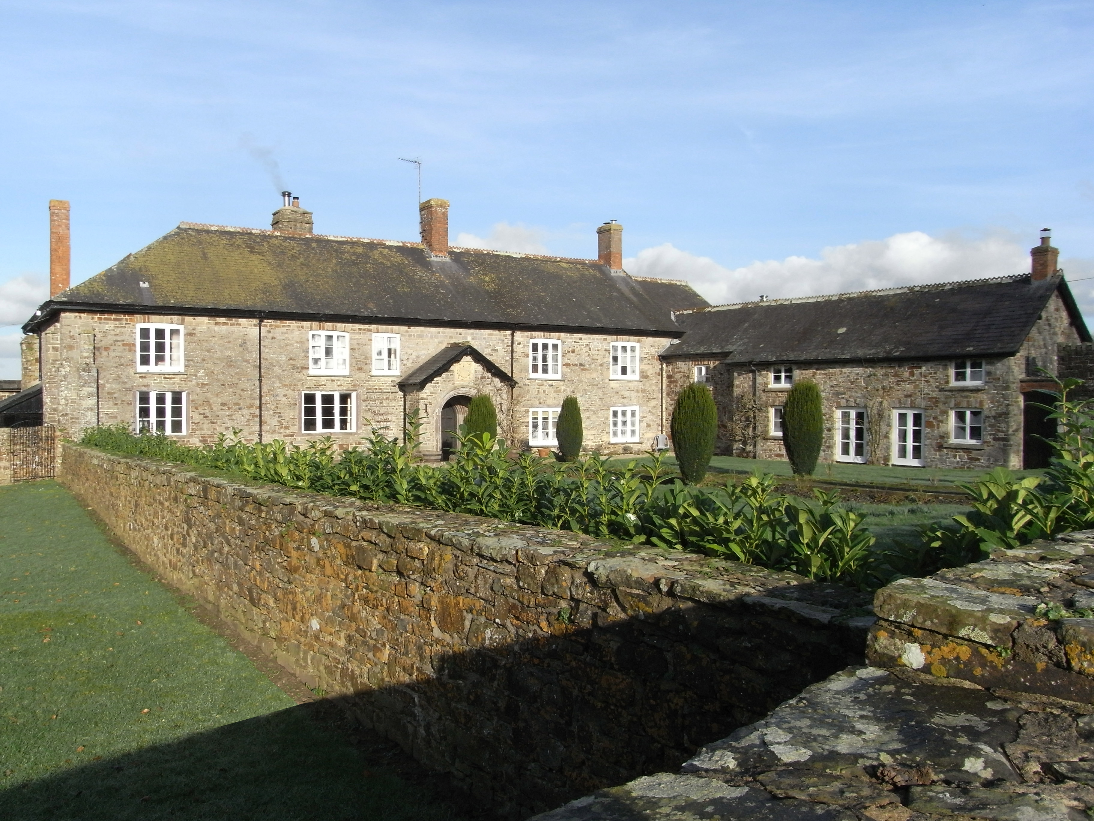
The village of Atherington itself is home to a population of around 700 residents. It has a rich history dating back to the medieval period, as evidenced by the presence of St Mary's Church, a Grade I listed building that dates back to the 13th century. The church is a prominent landmark in the village and attracts visitors interested in its architectural and historical significance.
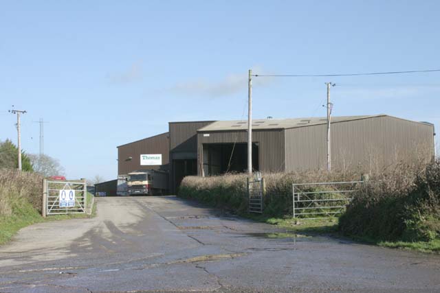
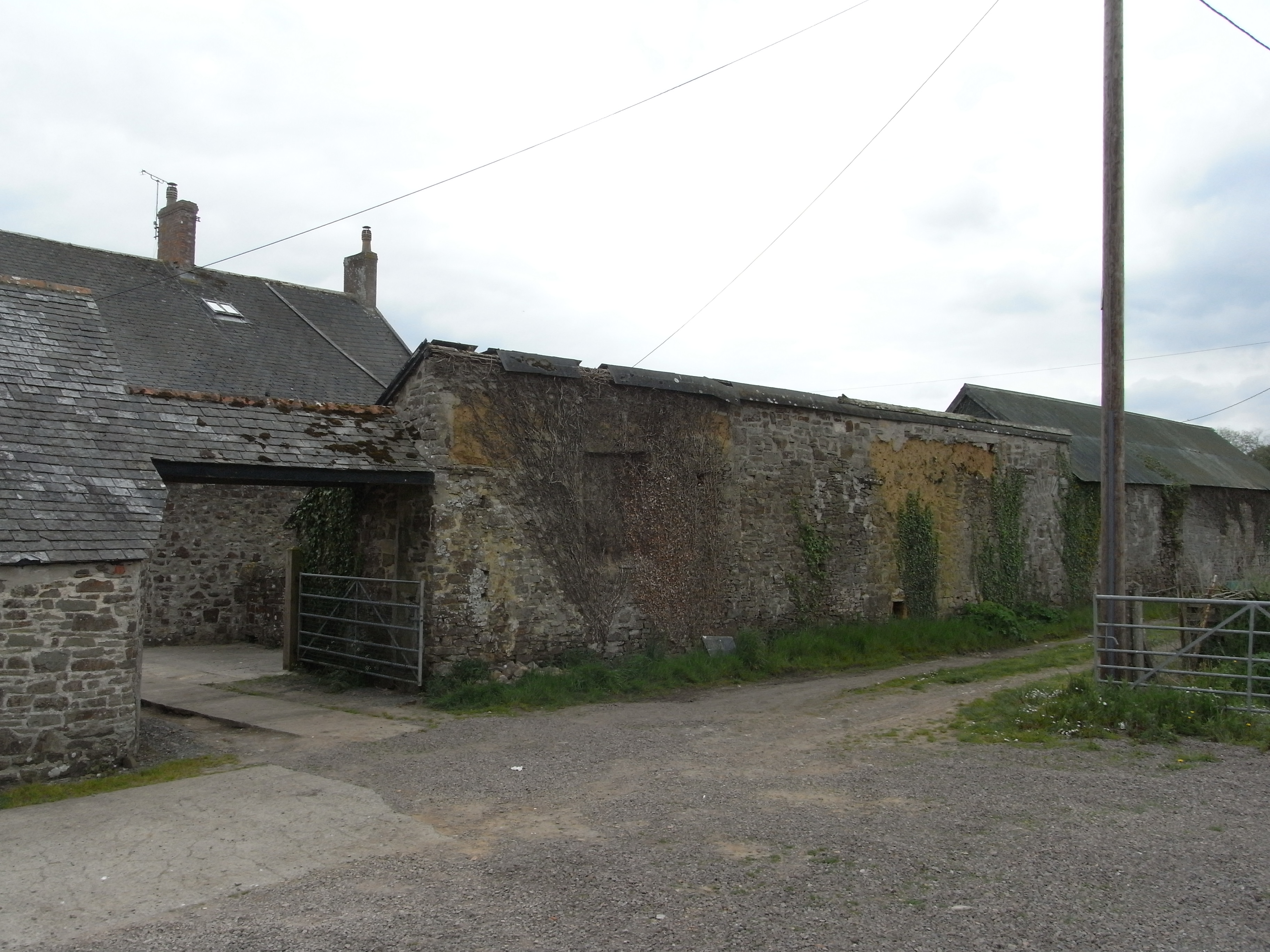
Agriculture has traditionally been an important aspect of the local economy, with farming activities such as dairy farming, livestock rearing, and crop cultivation being prevalent in the area. The surrounding farmlands contribute to the village's rural charm and provide a livelihood for many of its residents.
Despite its small size, Atherington boasts a close-knit community and a range of amenities and facilities. These include a primary school, village hall, post office, pub, and a few local businesses. The village also benefits from its proximity to larger towns, such as Barnstaple, which provide additional services and employment opportunities.
Atherington offers a peaceful and tranquil setting, making it an attractive place for those seeking a rural lifestyle away from the hustle and bustle of urban areas. Its natural beauty and historical heritage make it a popular destination for tourists and visitors interested in exploring the charm of the Devonshire countryside.
If you have any feedback on the listing, please let us know in the comments section below.
Atherington Images
Images are sourced within 2km of 50.990362/-4.010092 or Grid Reference SS5923. Thanks to Geograph Open Source API. All images are credited.


Atherington is located at Grid Ref: SS5923 (Lat: 50.990362, Lng: -4.010092)
Administrative County: Devon
District: North Devon
Police Authority: Devon & Cornwall
What 3 Words
///fists.skips.loft. Near Great Torrington, Devon
Nearby Locations
Related Wikis

Atherington, Devon
Atherington is a village and civil parish in the North Devon district of Devon, England, about 8 miles south of Barnstaple. According to the 2001 census...
Holy Trinity Chapel, Umberleigh
The Chapel of the Holy Trinity at Umberleigh is a ruinous mediaeval chapel in north Devon, England, largely demolished according to Lysons (1822) in about...
Umberleigh
Umberleigh is a former large manor within the historic hundred of (North) Tawton, but today a small village in North Devon in England. It used to be an...

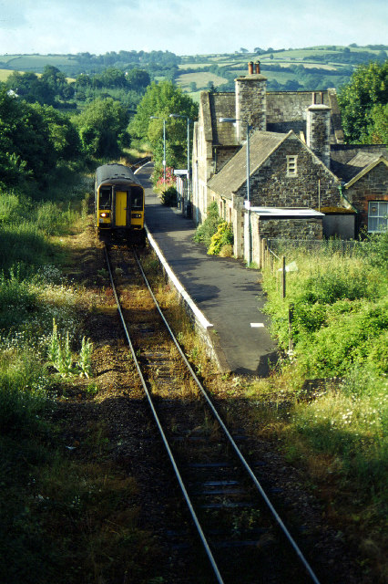
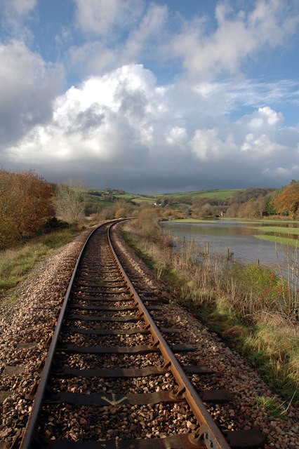
Umberleigh railway station
Umberleigh railway station serves the village of Umberleigh in Devon, England. It is on the Tarka Line to Barnstaple, 33 miles 22 chains (53.6 km) from...
Brightley, Chittlehampton
Brightley was historically the principal secondary estate within the parish and former manor of Chittlehampton in the county of Devon, England, situated...

Chapelton, Devon
Chapelton is a hamlet in Devon. It is located in the civil parish of Tawstock. The hamlet is served by the Chapelton railway station. == References ==

High Bickington
High Bickington is a rural village and civil parish in the Torridge district of Devon, England. The village lies on the B3217 road, around 6 miles (10...

Yarnscombe
Yarnscombe is a small village and parish in the Torridge area of Devon, England. It is situated approximately 5 miles (8 km) from Great Torrington and...
Nearby Amenities
Located within 500m of 50.990362,-4.010092Have you been to Atherington?
Leave your review of Atherington below (or comments, questions and feedback).