Astwick
Civil Parish in Bedfordshire
England
Astwick
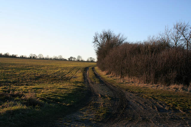
Astwick is a civil parish located in the county of Bedfordshire, England. Situated approximately four miles southeast of the town of Arlesey, Astwick covers an area of approximately 1.25 square miles. The parish is bordered by the parishes of Stotfold to the north, Arlesey to the west, and Henlow to the east.
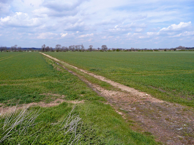
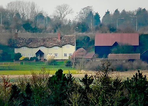
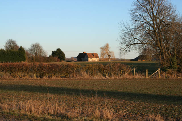
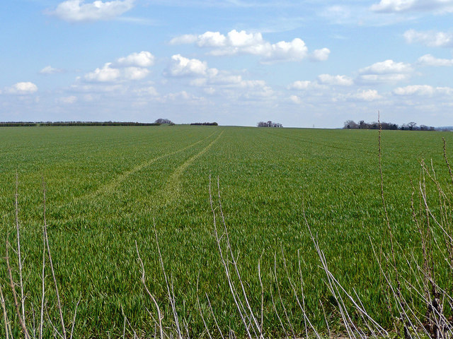
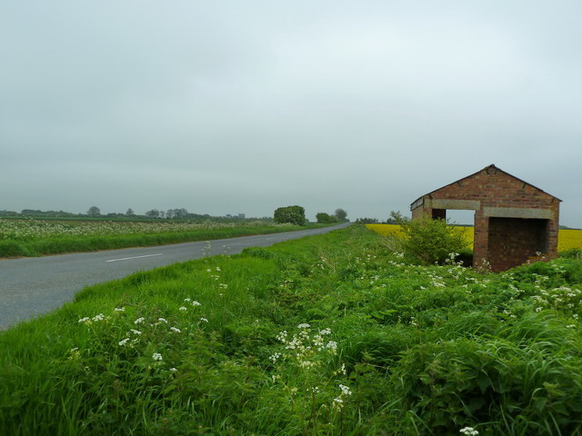
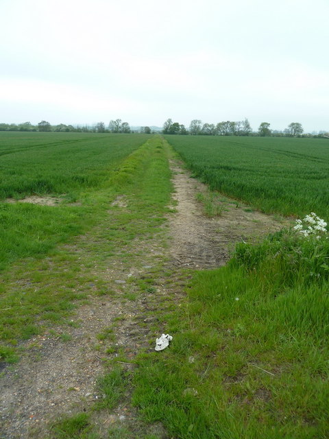
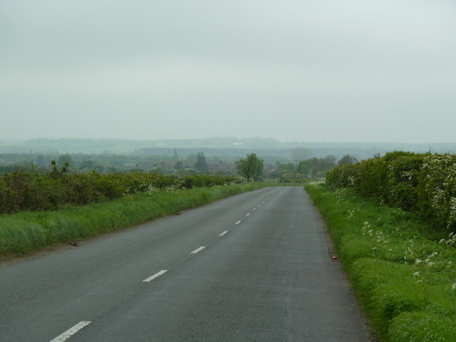
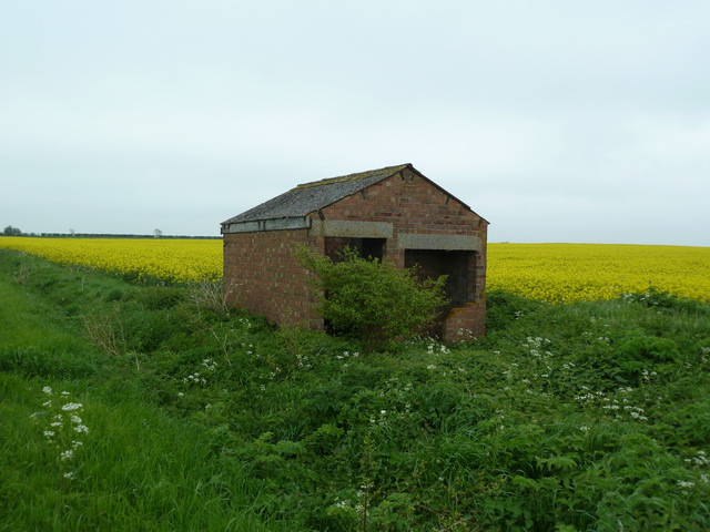
Astwick is a small, predominantly rural community with a population of around 200 residents. The village is characterized by its picturesque countryside setting, featuring rolling hills, open fields, and quaint country lanes. The landscape is dotted with traditional English cottages and farmhouses, adding to the area's charm and rural appeal.
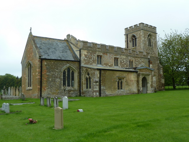
The parish is home to St Guthlac's Church, a Grade II listed building dating back to the 12th century. The church is a prominent landmark in the village, serving as a place of worship for the local community.
Although primarily an agricultural area, Astwick has seen some residential development in recent years. New housing estates have been built to accommodate the growing population, providing a mix of modern and traditional-style homes.
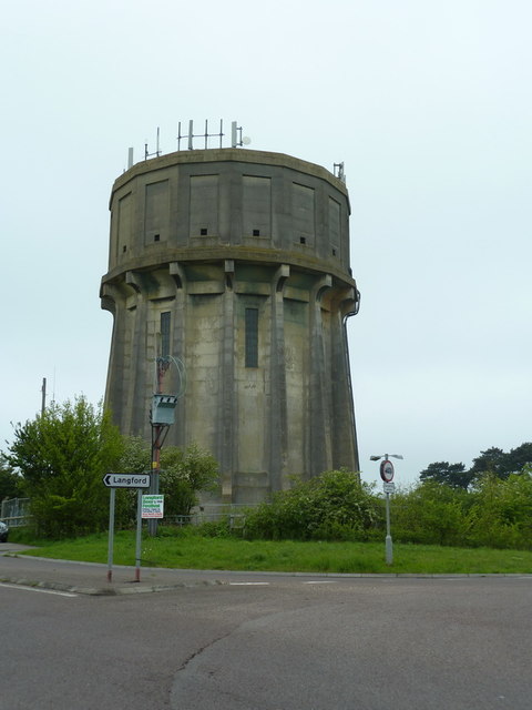
Astwick benefits from its proximity to nearby towns and amenities. Residents have easy access to schools, shops, and healthcare facilities in Arlesey and other neighboring towns. Additionally, the village is well-connected to the wider region via road and rail links, with the A1(M) motorway and Arlesey railway station located just a short distance away.
If you have any feedback on the listing, please let us know in the comments section below.
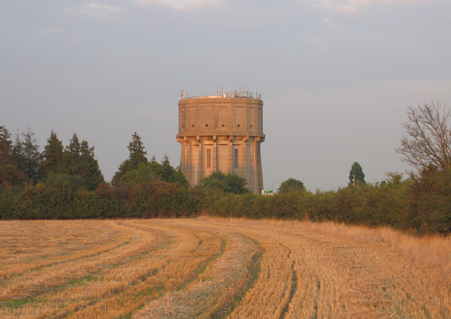
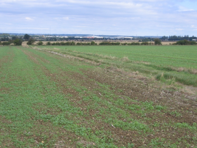
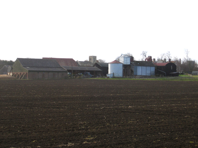
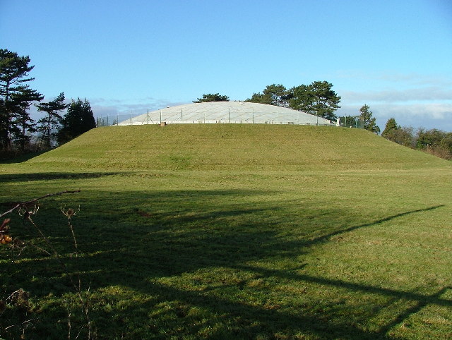
Astwick Images
Images are sourced within 2km of 52.038098/-0.231757 or Grid Reference TL2139. Thanks to Geograph Open Source API. All images are credited.
Astwick is located at Grid Ref: TL2139 (Lat: 52.038098, Lng: -0.231757)
Unitary Authority: Central Bedfordshire
Police Authority: Bedfordshire
What 3 Words
///inflation.operation.saving. Near Astwick, Bedfordshire
Nearby Locations
Related Wikis

Astwick
Astwick is a hamlet and civil parish in the Central Bedfordshire district of the county of Bedfordshire, England about 12.5 miles (20 km) south-east of...

St George's Church, Edworth
St George's Church, Edworth, is a redundant Anglican church in the village of Edworth, Bedfordshire, England. It is recorded in the National Heritage...
Edworth
Edworth is a hamlet and civil parish in the Central Bedfordshire district of the county of Bedfordshire, England about 12 miles (19 km) south-east of the...

Edworth Manor
Edworth Manor was a manor in Bedfordshire, England. The manor was mentioned in the Domesday Book. The manor was owned in the 16th & 17th centuries by the...
Stotfold F.C.
Stotfold Football Club is a football club based at Stotfold, Bedfordshire, England. They play in the Southern League Division One Central. The club is...

Stotfold
Stotfold is a town and civil parish in the Central Bedfordshire borough of Bedfordshire, England. The town covers 2,207 acres (8.93 km2) and the River...

Etonbury Academy
Etonbury Academy (formerly Etonbury Middle School) is an extended secondary school with Academy Status that is located in Central Bedfordshire, catering...

St Mary Magdalene's Church, Caldecote
St Mary Magdalene's Church is a redundant Anglican church standing in the deserted medieval village of Caldecote, Hertfordshire, England. It is recorded...
Have you been to Astwick?
Leave your review of Astwick below (or comments, questions and feedback).