Brightwalton Holt
Settlement in Berkshire
England
Brightwalton Holt
Brightwalton Holt is a small village located in the county of Berkshire, England. Situated in the southern part of the county, it is nestled in the picturesque countryside and surrounded by rolling hills and farmland. The village is part of the larger civil parish of Brightwalton, which also includes the neighboring hamlets of Brightwalton Green and Southend.
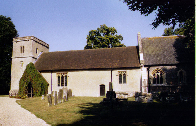
The settlement dates back to the medieval times and has a rich history that can be seen in its architecture and landmarks. The centerpiece of Brightwalton Holt is the St. Bartholomew's Church, a charming 13th-century building that still holds regular services. The church's spire can be seen from afar and adds to the village's idyllic charm.
The village itself is small, with a tight-knit community that values its rural surroundings and peaceful atmosphere. The houses in Brightwalton Holt are mostly traditional, built with local materials and retaining much of their original character.
Despite its small size, the village offers a range of amenities for its residents. These include a village hall, a primary school, and a pub, which serves as a social hub for locals and visitors alike. The surrounding countryside provides ample opportunities for outdoor activities such as walking, cycling, and horse riding.
Overall, Brightwalton Holt is a tranquil and picturesque village in Berkshire, where history and natural beauty come together to create a charming and welcoming community.
If you have any feedback on the listing, please let us know in the comments section below.
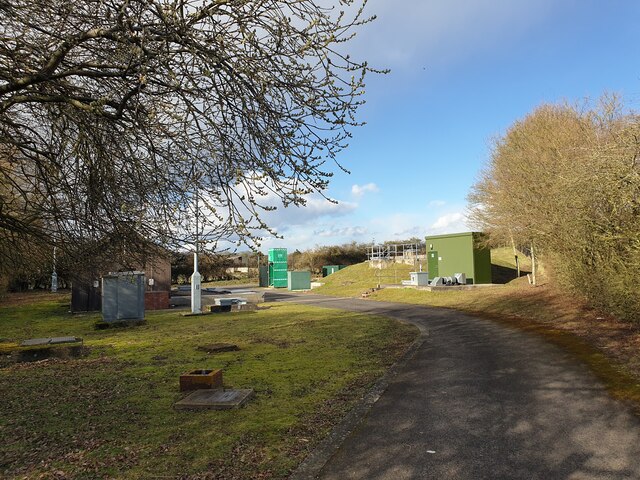
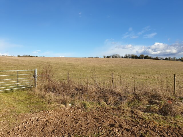
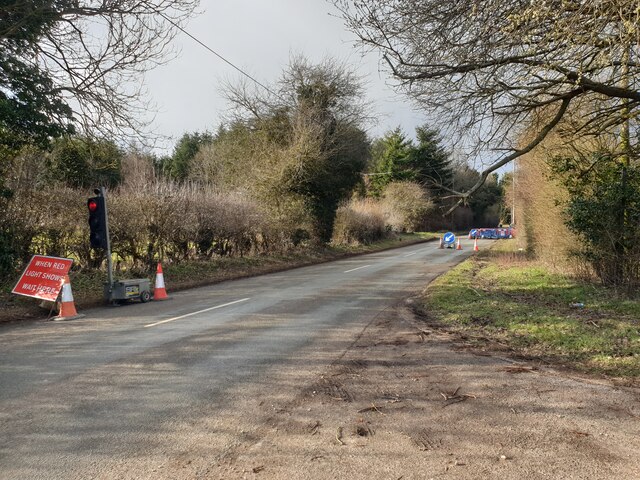
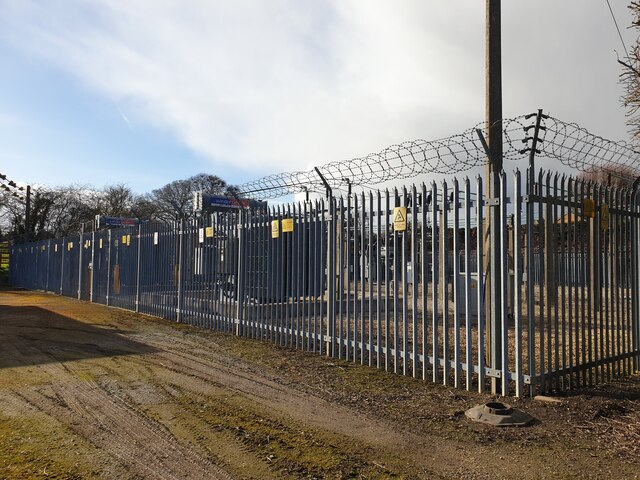
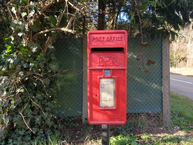
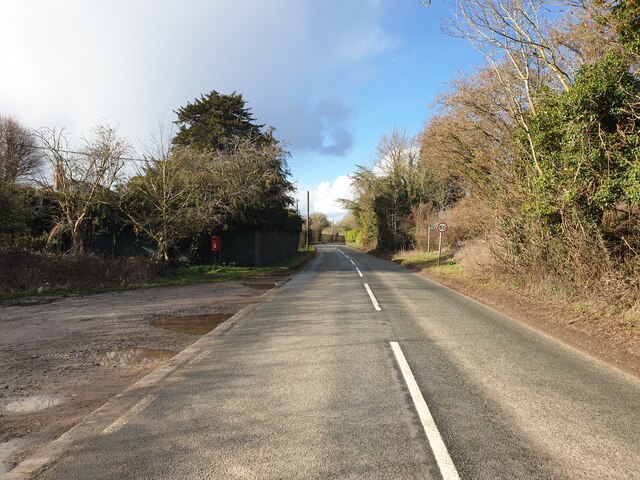
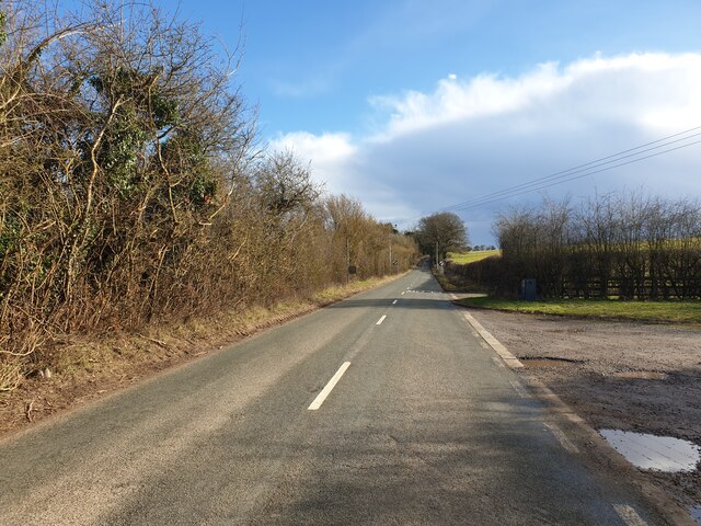
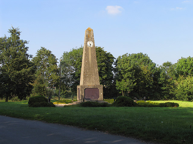
Brightwalton Holt Images
Images are sourced within 2km of 51.490319/-1.3820556 or Grid Reference SU4377. Thanks to Geograph Open Source API. All images are credited.


Brightwalton Holt is located at Grid Ref: SU4377 (Lat: 51.490319, Lng: -1.3820556)
Unitary Authority: West Berkshire
Police Authority: Thames Valley
What 3 Words
///heats.soda.childcare. Near Chaddleworth, Berkshire
Nearby Locations
Related Wikis
Leckhampstead War Memorial
Leckhampstead War Memorial is a Grade II listed war memorial in Leckhampstead, Berkshire, which commemorates 89 local men who served in the First World...

Leckhampstead, Berkshire
Leckhampstead is a village and civil parish in West Berkshire, England in the North Wessex Downs. A road and boundary stone in Leckhampstead, the Hangman...

Brightwalton Green
Brightwalton Green is a hamlet in the civil parish of Brightwalton in the county of Berkshire, England. The settlement lies near to the A338 road, and...
Chaddleworth
Chaddleworth is a village and civil parish in the English county of Berkshire. == Geography == The village of Chaddleworth lies below the southern slopes...

Poughley Priory
Poughley Priory was a priory of Austin Canons at Chaddleworth in the English county of Berkshire, located between Great Shefford and Leckhampstead. It...

Brightwalton
Brightwalton is a village and civil parish in the Berkshire Downs centred 7 miles (11 km) NNW of Newbury in West Berkshire. == Parish church == The Church...

West Berkshire Golf Club
West Berkshire Golf Club is a golf club located in Chaddleworth, Berkshire, England. It is located about 3 miles from Woodlands St Mary. The club was established...

Peasemore
Peasemore is a village and civil parish in the English ceremonial and historic county of Berkshire in the West Berkshire unitary authority area, west of...
Nearby Amenities
Located within 500m of 51.490319,-1.3820556Have you been to Brightwalton Holt?
Leave your review of Brightwalton Holt below (or comments, questions and feedback).