Astley

Civil Parish in Warwickshire North Warwickshire

England

Astley

High House Farm seen from Astley Lane, Fillongley The farm is seen here at sunset across a field of stubble and a severely-trimmed hedge mostly of holly.
High House Farm seen from Astley Lane, Fillongley Credit: A J Paxton

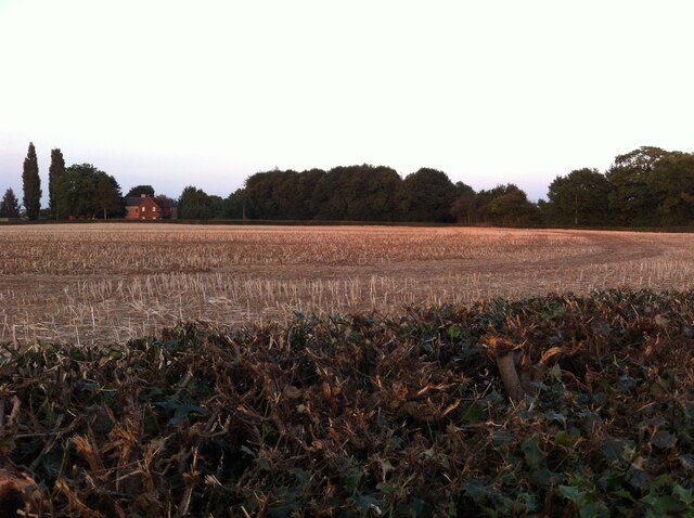
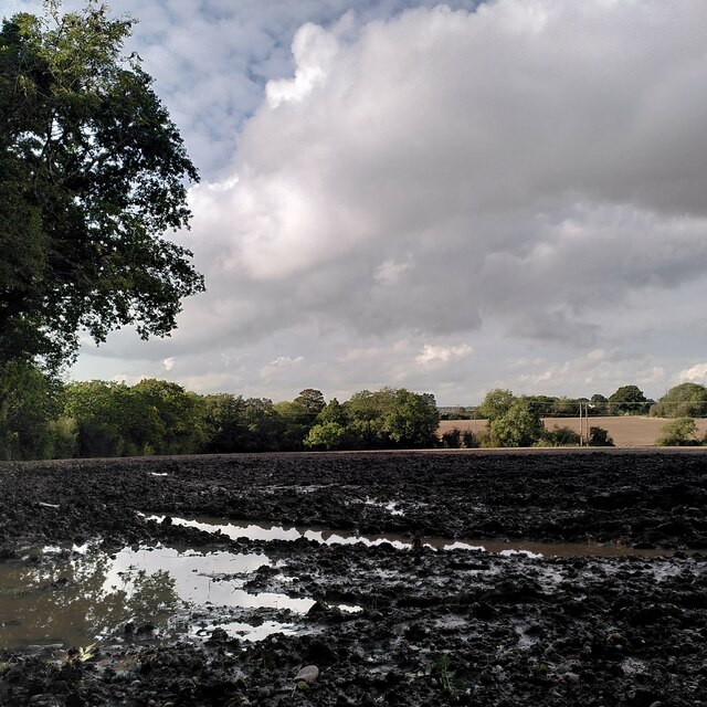
Astley is a civil parish located in the county of Warwickshire, England. It is situated approximately 4 miles southeast of the town of Nuneaton and covers an area of around 5 square miles. The parish is predominantly rural in nature, characterized by rolling countryside, farmland, and a few scattered residential properties.

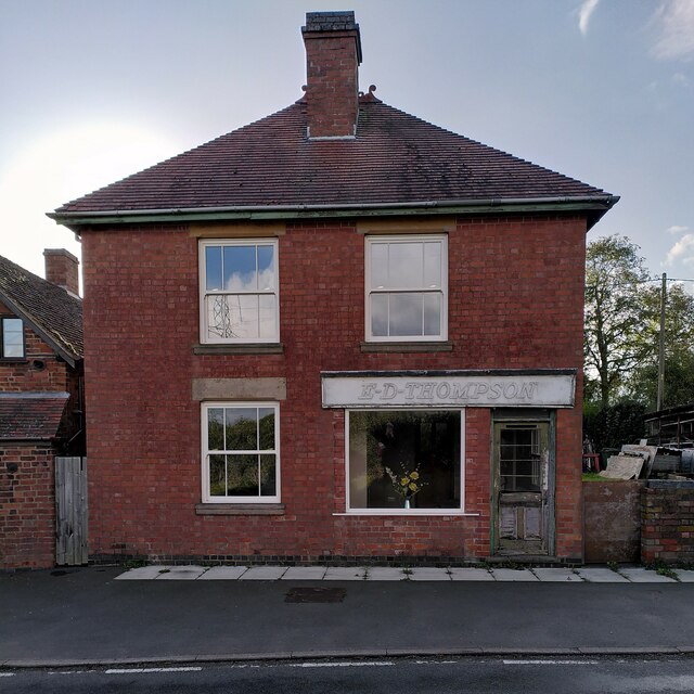
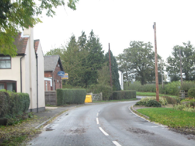
The village of Astley itself is small and compact, with a population of around 200 residents. It is primarily centered around Astley Castle, a historic fortified manor house dating back to the 12th century. The castle, now in ruins, is a Grade II* listed building and is considered a significant architectural and historical landmark in the area.

In addition to the castle, Astley boasts a small church, St. Mary's, which dates back to the 13th century. The church is a Grade I listed building and features notable architectural elements such as a Norman doorway and a 14th-century tower.

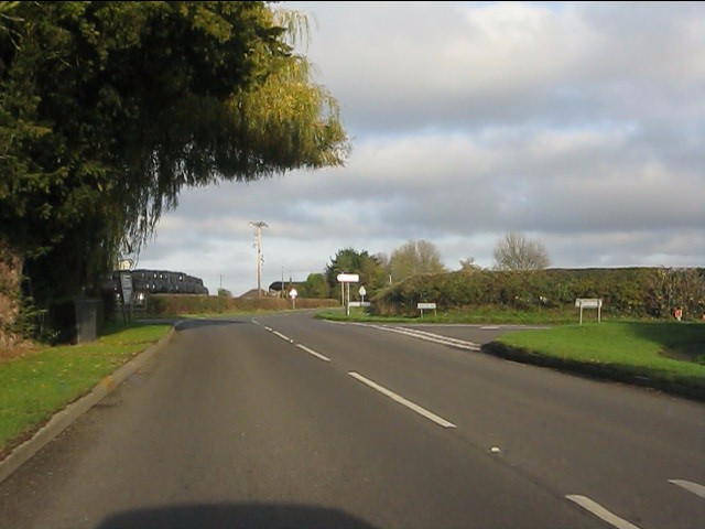
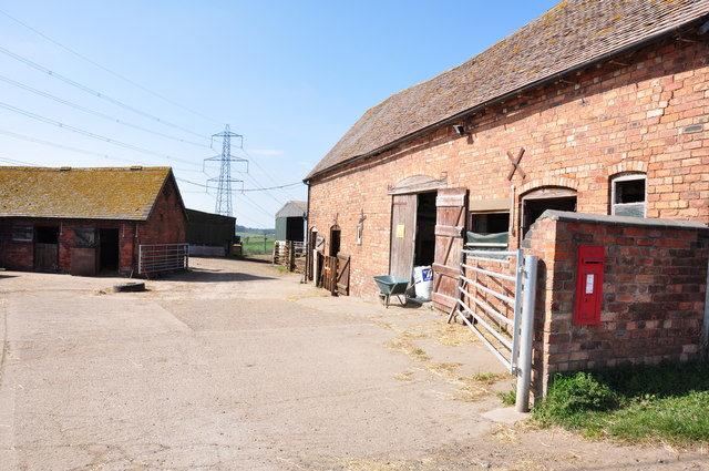
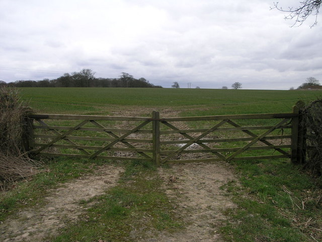
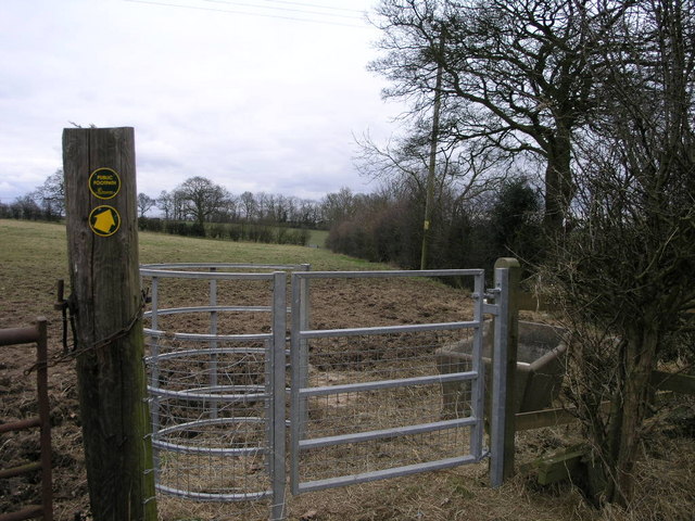
Astley is surrounded by picturesque countryside, making it an attractive destination for walkers, hikers, and nature enthusiasts. The area offers several footpaths and bridleways, providing opportunities for exploring the local flora and fauna. The nearby Astley Park is a popular spot for picnics and outdoor activities, with its open green spaces and scenic views.

Overall, Astley offers a peaceful and rural environment, rich in history and natural beauty. It provides a tranquil escape from the hustle and bustle of nearby towns and cities, making it an appealing destination for those seeking a quiet retreat in the heart of Warwickshire.

If you have any feedback on the listing, please let us know in the comments section below.

Astley Images

Images are sourced within 2km of 52.491152/-1.543085 or Grid Reference SP3188. Thanks to Geograph Open Source API. All images are credited.

High House Farm seen from Astley Lane, Fillongley The farm is seen here at sunset across a field of stubble and a severely-trimmed hedge mostly of holly.
High House Farm seen from Astley Lane, Fillongley
The farm is seen here at sunset across a field of stubble and a severely-trimmed hedge mostly of holly.
Lost in a muddy field, Wood End Well, I knew where I was on the map, but had lost the footpath. North Warwickshire has some good walking country, but signposting is often poor. The path had crossed a ditch and a field boundary without warning.
Lost in a muddy field, Wood End
Well, I knew where I was on the map, but had lost the footpath. North Warwickshire has some good walking country, but signposting is often poor. The path had crossed a ditch and a field boundary without warning.
Field path, Wood End At last, a signpost, though the sign itself was broken and faded.
Field path, Wood End
At last, a signpost, though the sign itself was broken and faded.
E D Thompson, Wood End Lane A former village store awaits a new use - probably housing, like the converted chapel nearby.
E D Thompson, Wood End Lane
A former village store awaits a new use - probably housing, like the converted chapel nearby.
Wood End Lane, many a slipped wheel between road and garden. Wood End Lane joins Arley with the rest of civilisation but becomes a death trap with the smallest sprinkling of ice.  3 years ago my Rover 216 went for a trip into the garden on the right...later joined by 2 other cars on the same day.  The council however do not deem this road important enough to grit?!
The building on the left has been for sale since I moved to Arley 5 years ago! Good Luck!
Wood End Lane, many a slipped wheel between road and garden.
Wood End Lane joins Arley with the rest of civilisation but becomes a death trap with the smallest sprinkling of ice. 3 years ago my Rover 216 went for a trip into the garden on the right...later joined by 2 other cars on the same day. The council however do not deem this road important enough to grit?! The building on the left has been for sale since I moved to Arley 5 years ago! Good Luck!
Glebe Farm and pheasants An early morning shot of Glebe Farm just off Park Lane, between Astley and Fillongley, with a couple of sprightly pheasants just in the photo top right.
Glebe Farm and pheasants
An early morning shot of Glebe Farm just off Park Lane, between Astley and Fillongley, with a couple of sprightly pheasants just in the photo top right.
Spring Daffs at the entrance to Church Farm
Crossroads on the B4102
House at the corner, Park Lane
Crossways Farm at Woodend Not got far to go to post their letters.
Crossways Farm at Woodend
Not got far to go to post their letters.
St. Mary the Virgin, Astley Just behind the church is Astley Castle and moat.
St. Mary the Virgin, Astley
Just behind the church is Astley Castle and moat.
Nuthurst Lane, Astley A long roman(?) road linking Astley to Ansley.  Roadkill to right.
Nuthurst Lane, Astley
A long roman(?) road linking Astley to Ansley. Roadkill to right.
Wintery view across the fields towards Astley Church This early morning view is taken from alongside the B4102 road from Fillongley towards Nuneaton.  Astley Church in SP 3189 can be seen in the distance.
Wintery view across the fields towards Astley Church
This early morning view is taken from alongside the B4102 road from Fillongley towards Nuneaton. Astley Church in SP 3189 can be seen in the distance.
Two More Gates Gates often appear in two's in this area, this pair of wooden gates make a welcome change from the steel galvanised gates that are replacing the more traditional material.
Two More Gates
Gates often appear in two's in this area, this pair of wooden gates make a welcome change from the steel galvanised gates that are replacing the more traditional material.
Windmill Lane The windmill may have gone but the lane remains.  The church on the horizon to the left is in Astley.
Windmill Lane
The windmill may have gone but the lane remains. The church on the horizon to the left is in Astley.
Pylons and Fields These cables pass over the Coventry Way just over the border into the next grid square.
Pylons and Fields
These cables pass over the Coventry Way just over the border into the next grid square.
Footpath to Taffs Farm This footpath passes through a less than romantic galvanised steel kissing gate.
Footpath to Taffs Farm
This footpath passes through a less than romantic galvanised steel kissing gate.
The Coventry Way Looking along the line of this footpath from near Breach Oak Farm.
The Coventry Way
Looking along the line of this footpath from near Breach Oak Farm.
Show me another place!

Astley is located at Grid Ref: SP3188 (Lat: 52.491152, Lng: -1.543085)

Administrative County: Warwickshire

District: North Warwickshire

Police Authority: Warwickshire

What 3 Words

///tree.sleeps.fades. Near Keresley, West Midlands

Nearby Locations

Howe Green Astley

Related Wikis

Astley, Warwickshire

Astley is a small village and civil parish within the North Warwickshire district of Warwickshire, England. In the 2001 census it had a population of...
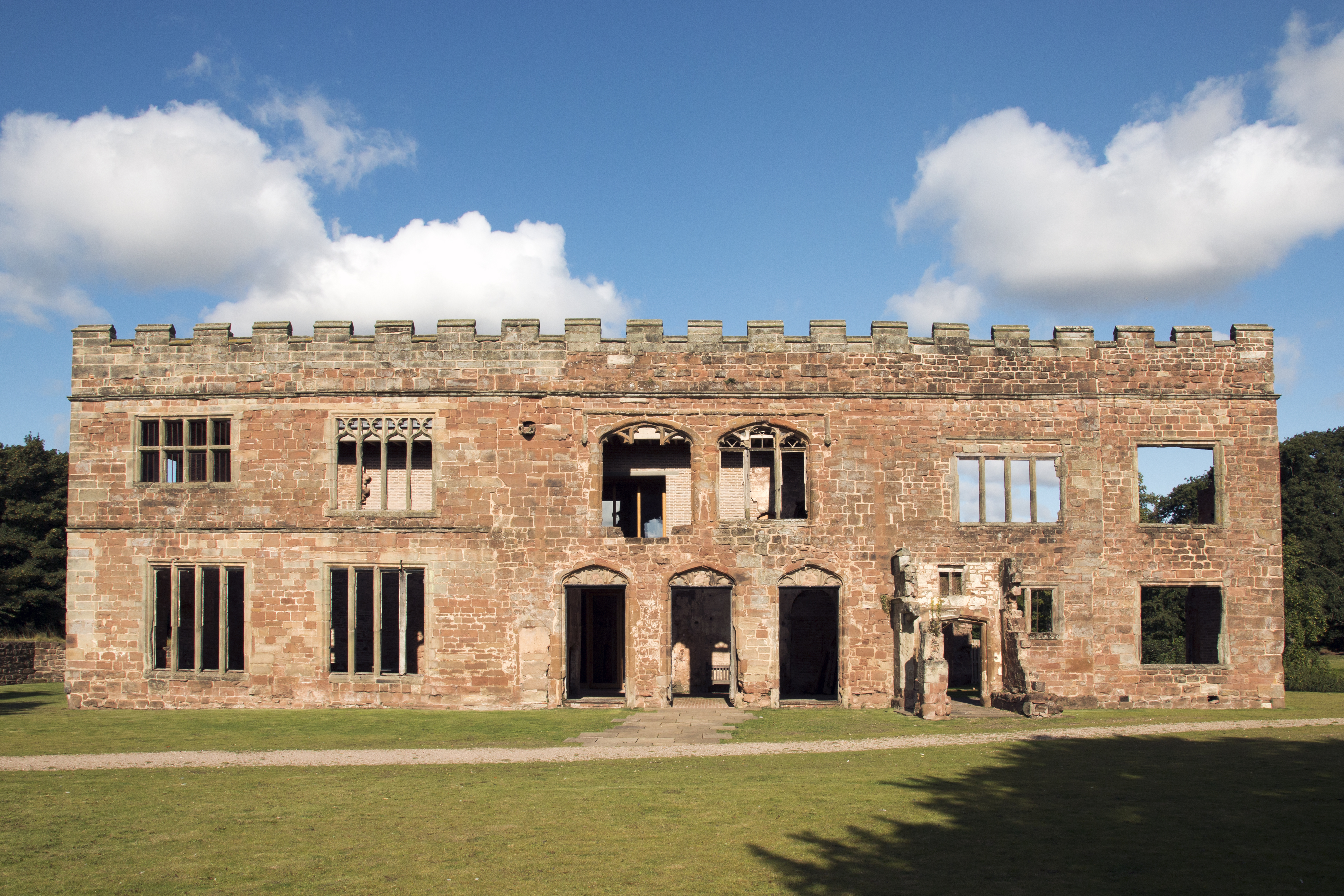
Astley Castle

Astley Castle is a ruinous moated fortified 16th century manor house in North Warwickshire, England. It has been listed as a Grade II* listed building...

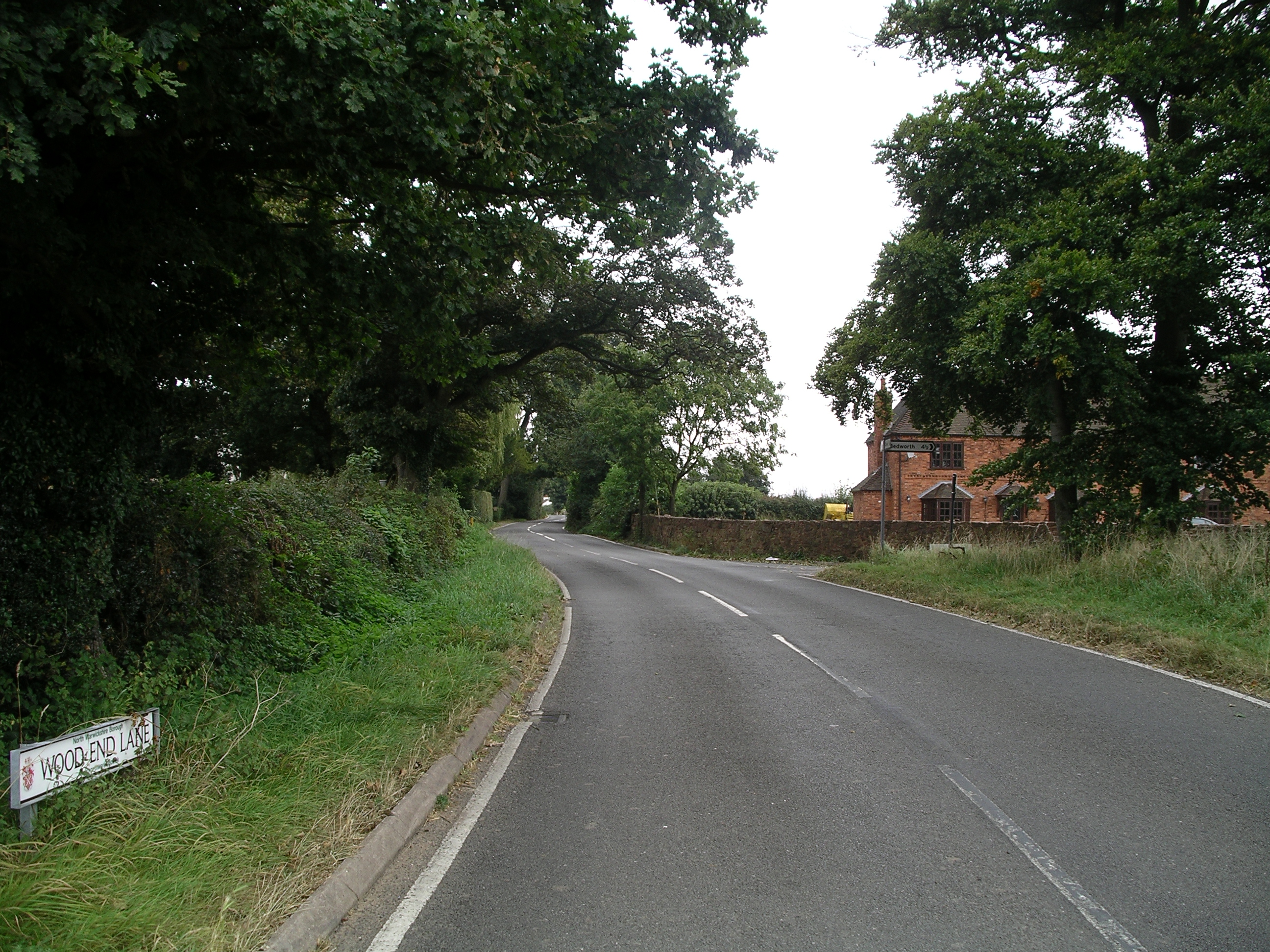
Wood End, Fillongley

Wood End, is a small village in Warwickshire, England. It is situated north of Coventry. The village is part of the civil parish of Fillongley. There is...
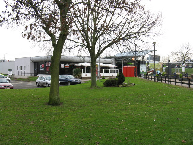
Corley services

Corley services is a motorway service station between junctions 3 and 3A of the M6 motorway in the county of Warwickshire, England. It is close to the...

Arbury Hall

Arbury Hall (grid reference SP335893) is a Grade I listed country house in Nuneaton, Warwickshire, England, and the ancestral home of the Newdigate family...

Arbury Priory

Arbury Priory was an Augustinian priory in the parish of Chilvers Coton, Warwickshire, England. The priory was founded early in the reign of Henry II...

Fillongley

Fillongley, listed as Fillungeleye in 1135, is a village and civil parish in the North Warwickshire district of Warwickshire in England. The village is...

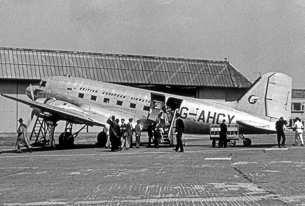
1949 Exhall mid-air collision

The Exhall mid-air collision happened on Saturday 19 February 1949 over the village of Exhall when a British European Airways Douglas DC-3 / Douglas Dakota...

Nearby Amenities

Located within 500m of 52.491152,-1.543085
The data included in this document is from www.openstreetmap.org. The data is made available under ODbL.

Have you been to Astley?

Leave your review of Astley below (or comments, questions and feedback).