Ashton

Civil Parish in Devon Teignbridge

England

Ashton

Track and lane junction, Barton Down The land on the right forms a triangle between the two lanes seen here and a lane from Kennick to the Teign valley, which the track ahead is curving to meet.
Track and lane junction, Barton Down Credit: Derek Harper

Ashton is a civil parish located in the county of Devon, England. Situated in the heart of the South West region, Ashton is surrounded by stunning natural beauty and offers a peaceful rural setting. The parish covers an area of approximately 3.5 square miles (9 square kilometers) and is home to a population of around 400 residents.

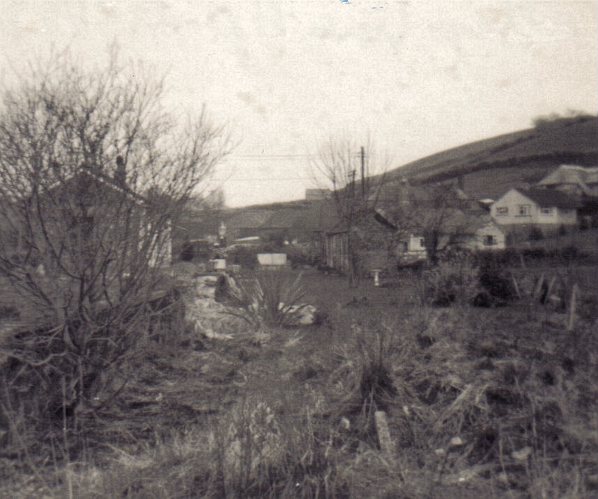
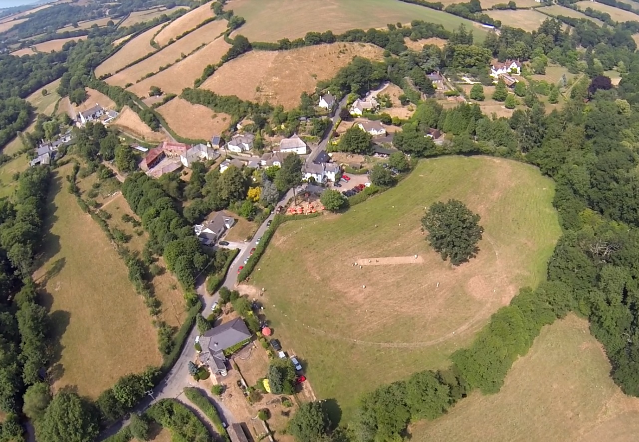
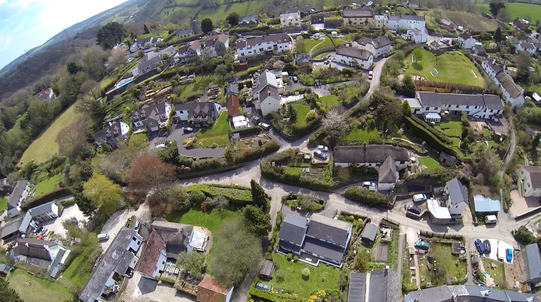
The village of Ashton itself is small but charming, with a quaint and picturesque atmosphere. It features a mix of traditional thatched cottages and more modern houses, creating a unique architectural blend. The parish also includes several farms and agricultural lands, highlighting the importance of farming in the local economy.

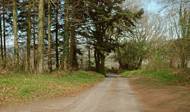
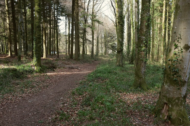
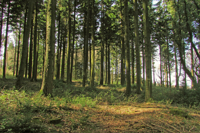
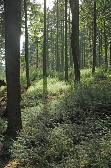
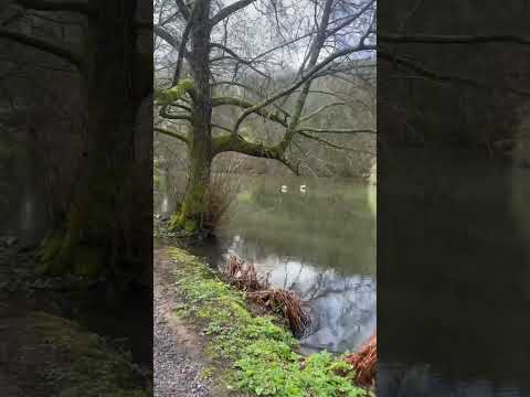
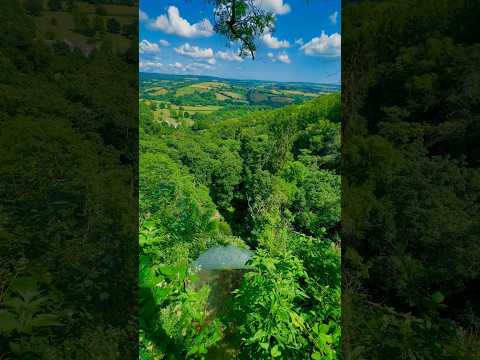
Nature lovers will find plenty to explore in Ashton and its surrounding areas. The parish is located in close proximity to Dartmoor National Park, known for its rugged landscapes, ancient tors, and diverse wildlife. This makes Ashton an excellent base for outdoor activities such as hiking, cycling, and birdwatching.

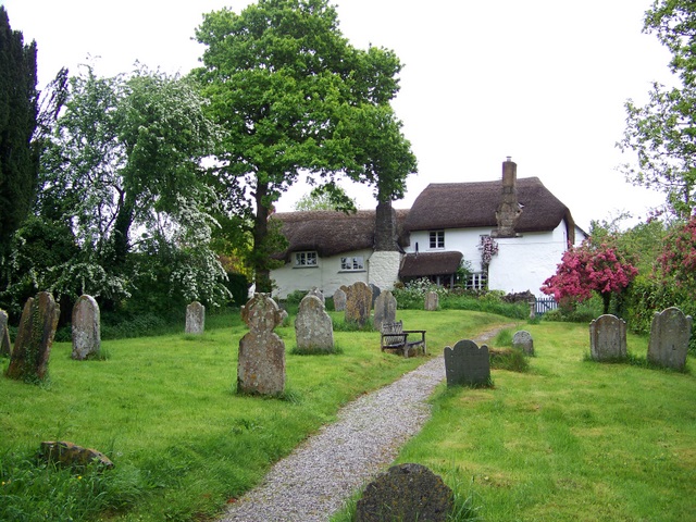
A notable landmark in Ashton is the 15th-century St. John the Baptist Church, which has stood as a focal point of the community for centuries. The church's historic architecture and peaceful interior make it a popular spot for visitors and locals alike.

Though Ashton is a predominantly rural area, it benefits from good transportation links. The A38 road runs nearby, providing easy access to larger towns and cities in the region. Overall, Ashton offers a tranquil countryside escape with a strong sense of community and a wealth of natural beauty to explore.

If you have any feedback on the listing, please let us know in the comments section below.

Ashton Images

Images are sourced within 2km of 50.642949/-3.63656 or Grid Reference SX8483. Thanks to Geograph Open Source API. All images are credited.

Track and lane junction, Barton Down The land on the right forms a triangle between the two lanes seen here and a lane from Kennick to the Teign valley, which the track ahead is curving to meet.
Track and lane junction, Barton Down
The land on the right forms a triangle between the two lanes seen here and a lane from Kennick to the Teign valley, which the track ahead is curving to meet.
Lane, Barton Down Looking right from <a href="https://www.geograph.org.uk/photo/6938187">SX8383 : Track and lane junction, Barton Down</a> to where the lane meets the other lane referred to, heading in the direction of the Teign valley.
Lane, Barton Down
Looking right from SX8383 : Track and lane junction, Barton Down to where the lane meets the other lane referred to, heading in the direction of the Teign valley.
Lane to Shuttamoor Looking in the other direction from <a href="https://www.geograph.org.uk/photo/6938196">SX8383 : Lane, Barton Down</a> and left from <a href="https://www.geograph.org.uk/photo/6938187">SX8383 : Track and lane junction, Barton Down</a>, with the woods closing in.
Lane to Shuttamoor
Looking in the other direction from SX8383 : Lane, Barton Down and left from SX8383 : Track and lane junction, Barton Down, with the woods closing in.
Field beside Barton Down The woodland is access land. The farmland isn't.
Field beside Barton Down
The woodland is access land. The farmland isn't.
Barton Down Woodland at about 215 metres above sea level. This looks back to the left from <a href="https://www.geograph.org.uk/photo/6938509">SX8383 : Field beside Barton Down</a>.
Barton Down
Woodland at about 215 metres above sea level. This looks back to the left from SX8383 : Field beside Barton Down.
Fallen tree, Barton Down Close to the angle of the field (shown in <a href="https://www.geograph.org.uk/photo/6938509">SX8383 : Field beside Barton Down</a>) round which the woodland grows.
Fallen tree, Barton Down
Close to the angle of the field (shown in SX8383 : Field beside Barton Down) round which the woodland grows.
Barton Down Near the angle mentioned at <a href="https://www.geograph.org.uk/photo/6938690">SX8383 : Fallen tree, Barton Down</a>.
Barton Down
Near the angle mentioned at SX8383 : Fallen tree, Barton Down.
Woodland, Barton Down Dtopping away towards farmland.
Woodland, Barton Down
Dtopping away towards farmland.
Field boundary, Barton Down A gap in an old wall running through the woodland.
Field boundary, Barton Down
A gap in an old wall running through the woodland.
Field boundary, Barton Down Looking along the old wall seen in <a href="https://www.geograph.org.uk/photo/6939546">SX8383 : Field boundary, Barton Down</a>.
Field boundary, Barton Down
Looking along the old wall seen in SX8383 : Field boundary, Barton Down.
Woodland, Barton Down Looking right from <a href="https://www.geograph.org.uk/photo/6939777">SX8382 : Field boundary, Barton Down</a>.
Woodland, Barton Down
Woodland, Barton Down With a mass of tiny conifer saplings.
Woodland, Barton Down
With a mass of tiny conifer saplings.
Conifer sapling, Barton Down One of the many shown in <a href="https://www.geograph.org.uk/photo/6939788">SX8382 : Woodland, Barton Down</a>. It looks rather like yew.
Conifer sapling, Barton Down
One of the many shown in SX8382 : Woodland, Barton Down. It looks rather like yew.
Ride, Barton Down A main route used by cyclists across the access woodland.
Ride, Barton Down
A main route used by cyclists across the access woodland.
Woodland, Barton Down From the ride shown in <a href="https://www.geograph.org.uk/photo/6939794">SX8383 : Ride, Barton Down</a>.
Woodland, Barton Down
From the ride shown in SX8383 : Ride, Barton Down.
Ride, Barton Down Taken further south along the track shown in <a href="https://www.geograph.org.uk/photo/6939794">SX8383 : Ride, Barton Down</a>.
Ride, Barton Down
Taken further south along the track shown in SX8383 : Ride, Barton Down.
Junction, Barton Down A path turns off the ride shown in <a href="https://www.geograph.org.uk/photo/6939794">SX8383 : Ride, Barton Down</a>.
Junction, Barton Down
A path turns off the ride shown in SX8383 : Ride, Barton Down.
Woodland, Barton Down A contrejour shot from the path on the right of <a href="https://www.geograph.org.uk/photo/6944975">SX8382 : Junction, Barton Down</a>.
Woodland, Barton Down
A contrejour shot from the path on the right of SX8382 : Junction, Barton Down.
Show me another place!

Ashton is located at Grid Ref: SX8483 (Lat: 50.642949, Lng: -3.63656)

Administrative County: Devon

District: Teignbridge

Police Authority: Devon & Cornwall

What 3 Words

///firebird.sounding.koala. Near Chudleigh, Devon

Related Wikis

Ashton railway station

Ashton railway station was a railway station serving the village of Ashton in Devon, England. It was located on the Teign Valley line. == History == The...

Lower Ashton

Lower Ashton is a village on the western slopes of Haldon in Teignbridge, Devon, England. Along with Higher Ashton it is part of the civil parish of Ashton...

Christow

Christow is a village and civil parish in the Teignbridge district of Devon, England, about 12 miles (19 km) southwest of Exeter. The village is in the...

Higher Ashton

Higher Ashton is a village on the western slopes of Haldon in Teignbridge, Devon, England. Along with Lower Ashton it is part of the civil parish of Ashton...

Ashton, Devon

Ashton is a civil parish in the Teignbridge district of Devon, England. According to the 2001 census it had a population of 174, and it had a population...

Trusham

Trusham is a small village in the Teign Valley, between Newton Abbot and Exeter, in Devon, England. The name originates from the Celtic Trisma, meaning...

Canonteign Falls

Canonteign Falls is a waterfall in the historic tything of Canonteign in the Teign Valley and Dartmoor National Park near Chudleigh, South Devon, England...

Doddiscombsleigh

Doddiscombsleigh (anciently Doddescombe Leigh) is a small settlement in Devon, England. It is 5 miles (8 km) southwest of the city of Exeter and one mile...

Related Videos

Canonteign Falls – Tallest Waterfall in England!

UK Travel Vlog Episode 4: Filmed 11 September 2020. Join us as we hike to the top of Canonteign Falls – the tallest waterfall in ...

Canonteign Falls

Canonteign Falls is a stunning natural attraction in the heart of Devon.Set in 90 acres of park and woodland, Canonteign is the ...

Nearby Amenities

Located within 500m of 50.642949,-3.63656
Lower Ashton
Place: hamlet
Source: npe
Lat/Long: 50.6465695/-3.6358332
Ashton
Historic Railway: station
Railway: site
Lat/Long: 50.6451475/-3.6361686
Post Box
Brand: Royal Mail
Brand Wikidata: Q638098
Brand Wikipedia: en:Royal Mail
Collection Times: Mo-Fr 09:00; Sa 07:00; Su off
Operator: Royal Mail
Operator Wikidata: Q638098
Post Box Mounting: wooden_post
Post Box Type: lamp
Ref: EX6 191D
Royal Cypher: EIIR
Royal Cypher Wikidata: Q33102113
Source: survey;streetlevel imagery;aerial imagery
Lat/Long: 50.6462078/-3.6356935
Telephone
Booth: K6
Colour: red
Covered: booth
Listed Status: Grade II
Lat/Long: 50.6462102/-3.6357159
Turning Circle
Lat/Long: 50.6472093/-3.6380742
Turning Circle
Lat/Long: 50.6447238/-3.6377084
Remains: Railway Lifting Crane
Man Made: crane
Lat/Long: 50.6441643/-3.6359974
The data included in this document is from www.openstreetmap.org. The data is made available under ODbL.

Have you been to Ashton?

Leave your review of Ashton below (or comments, questions and feedback).