Ashford in the Water

Civil Parish in Derbyshire Derbyshire Dales

England

Ashford in the Water

Ashford in The Water's well-fed ducks 1: The Sheepwash Bridge, the ducks are all midstream
Ashford in The Water's well-fed ducks 1: The Sheepwash Bridge, the ducks are all midstream Credit: Michael Garlick

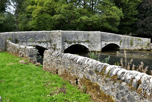
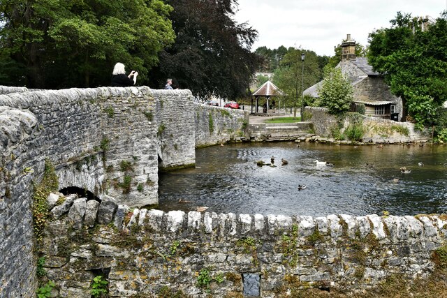
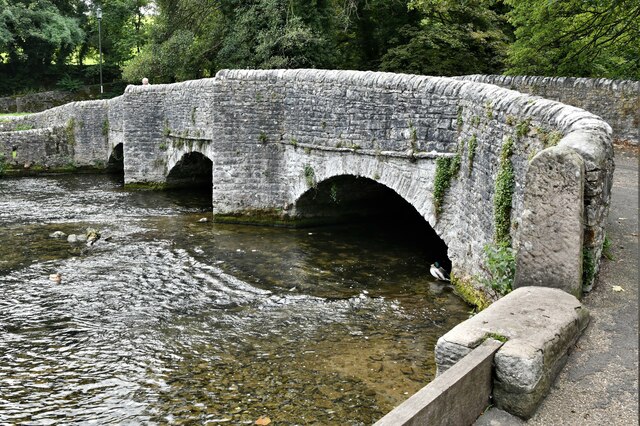
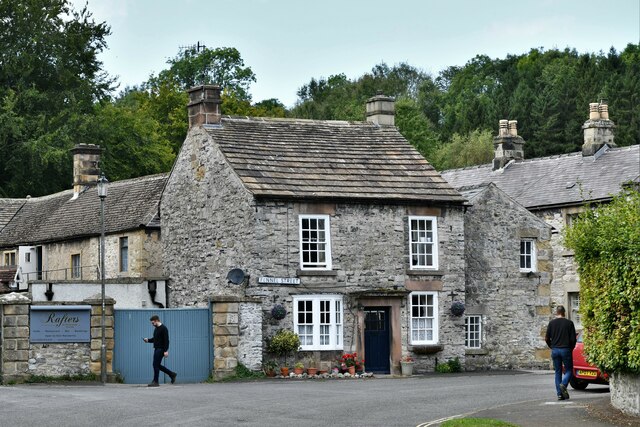
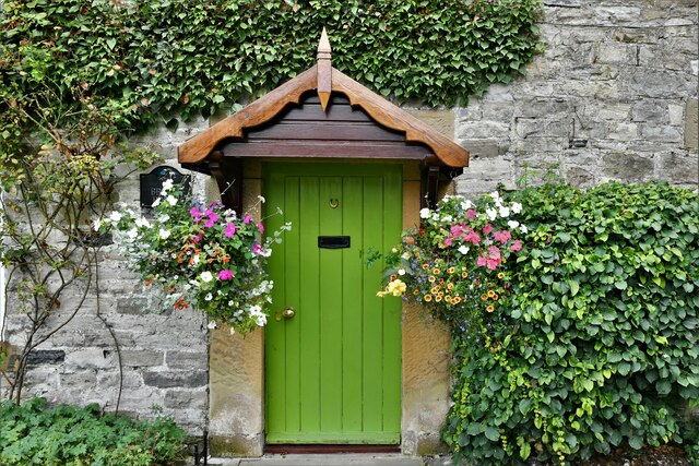
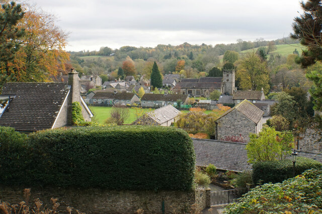
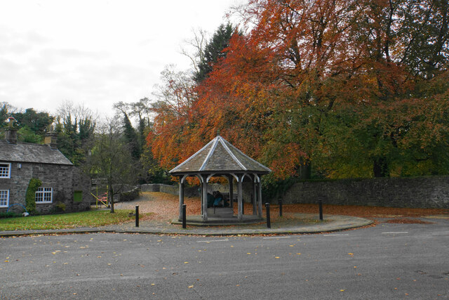
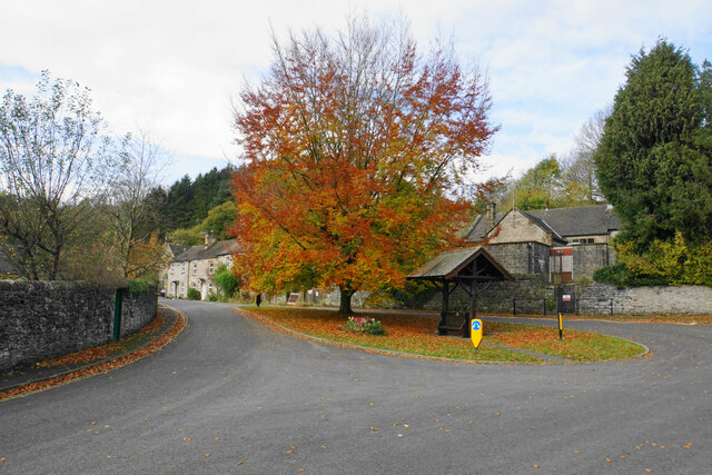
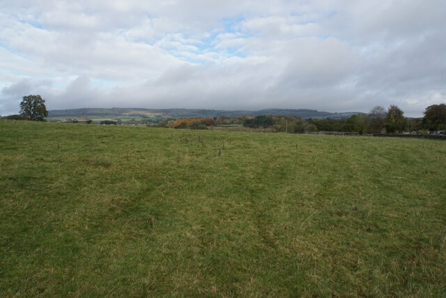
Ashford in the Water is a civil parish located in the Derbyshire Dales district of Derbyshire, England. It is a picturesque village situated on the banks of the River Wye, within the Peak District National Park. The village is known for its charming stone cottages, quaint bridges, and beautiful landscapes, making it a popular tourist destination.

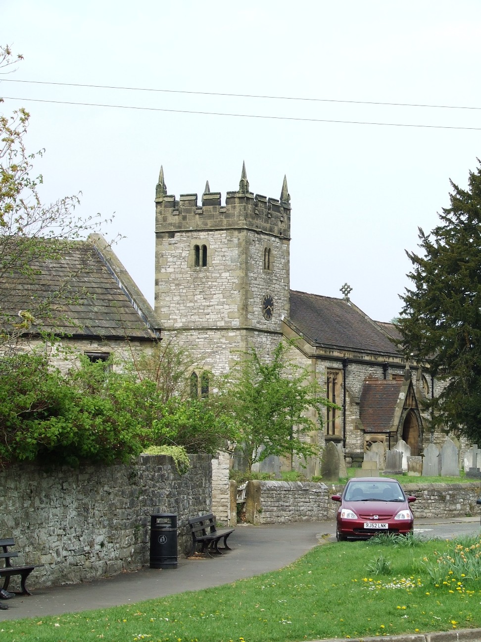
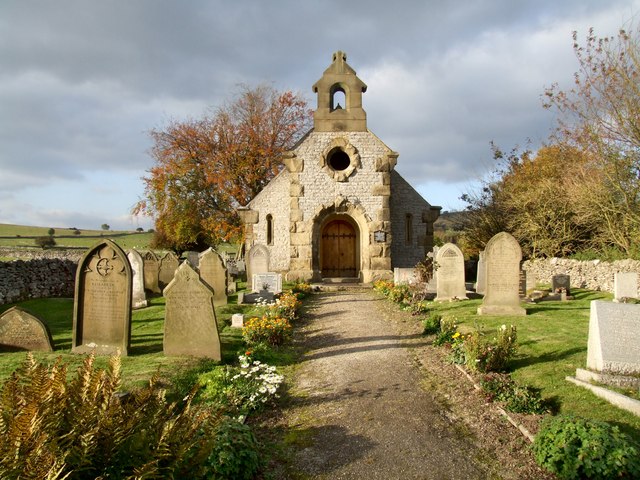
The village is home to approximately 400 residents and has a strong sense of community. It boasts a range of amenities including a primary school, a village hall, a church, and a couple of pubs. The Holy Trinity Church, dating back to the 13th century, is a prominent landmark in the village and is known for its stunning stained glass windows.

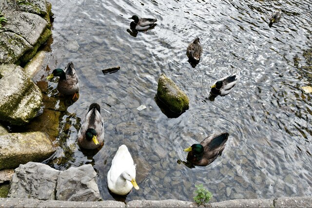
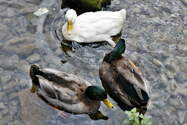
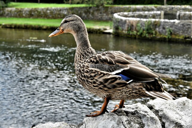
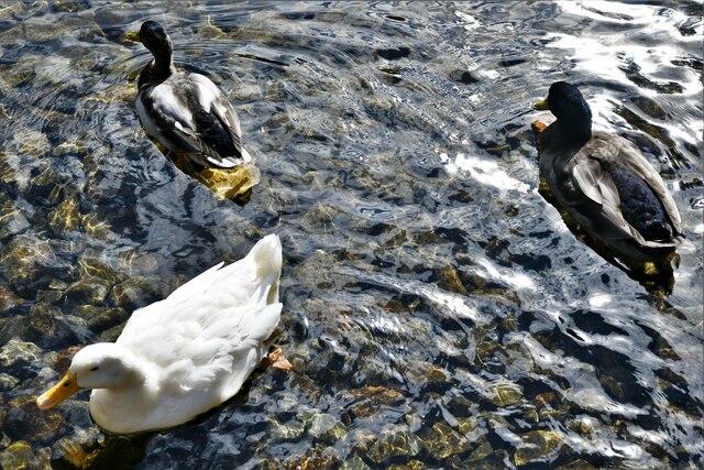
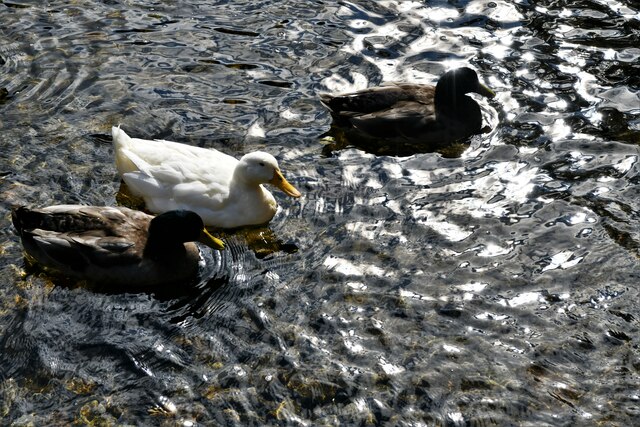
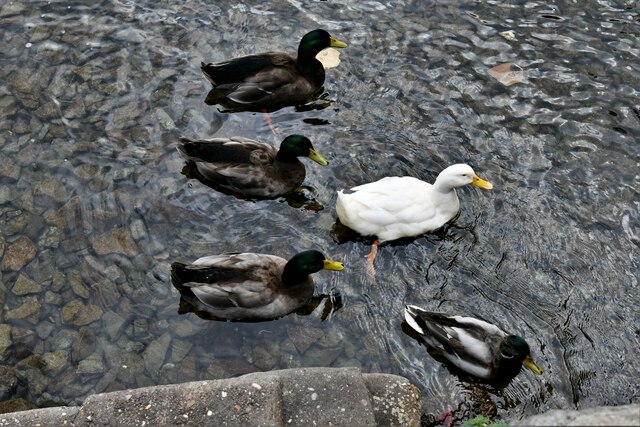
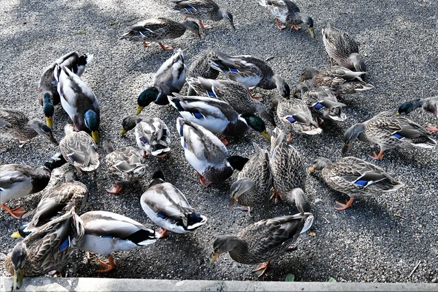
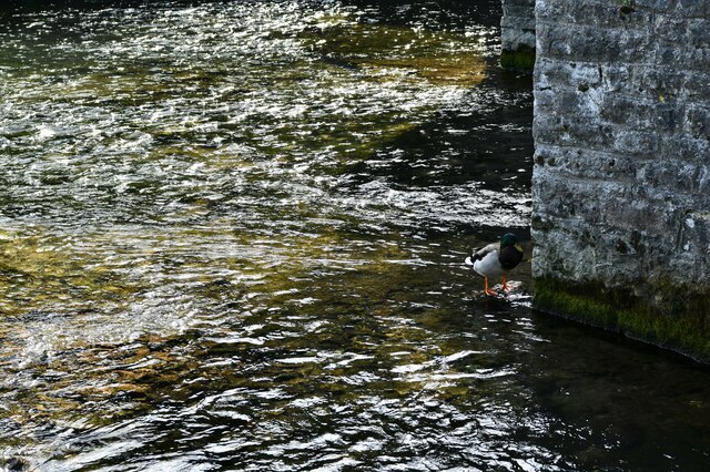
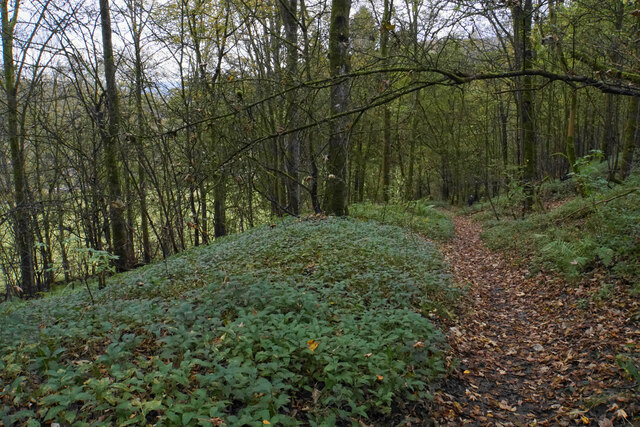
Ashford in the Water is surrounded by stunning natural beauty. The river flows through the village, offering opportunities for fishing and leisurely walks along its banks. The village is also located near the Monsal Trail, a popular cycling and walking route that follows the path of a former railway line, providing stunning views of the surrounding countryside.

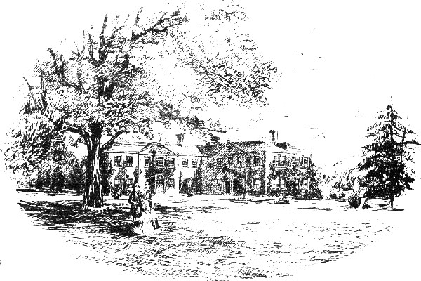
In addition to its natural beauty, Ashford in the Water is also known for its history. The village dates back to the medieval period and has several historic buildings, including the 17th-century Ashford Hall. The village is also famous for its well dressings, an ancient custom where intricate designs made from flower petals and natural materials are displayed on wooden boards.

Overall, Ashford in the Water is a charming and idyllic village that offers a peaceful retreat for both residents and visitors. Its stunning landscapes, rich history, and strong sense of community make it a hidden gem within the Derbyshire countryside.

If you have any feedback on the listing, please let us know in the comments section below.

Ashford in the Water Images

Images are sourced within 2km of 53.227692/-1.709857 or Grid Reference SK1970. Thanks to Geograph Open Source API. All images are credited.

Ashford in The Water's well-fed ducks 1: The Sheepwash Bridge, the ducks are all midstream
Ashford in The Water's well-fed ducks 2: By the Sheepwash Bridge, the ducks are all midstream
Ashford in The Water's well-fed ducks 3: Having crossed the Sheepwash Bridge, the ducks are still midstream
Ashford in The Water's well-fed ducks 4: Suddenly ducks are coming towards us from every direction
Ashford in The Water's well-fed ducks 5: They start paddling in a bizarre circular movement
Ashford in The Water's well-fed ducks 6: We wondered if she would join them
Ashford in The Water's well-fed ducks 7: The circle is broken
Ashford in The Water's well-fed ducks 8: They all (30 ducks) seem to be heading in the same direction
Ashford in The Water's well-fed ducks 9: We have shown the food, they are about to come out of the water
Ashford in The Water's well-fed ducks 10: Now on dry land, a feeding frenzy ensues
Ashford in The Water's well-fed ducks 11: Leaving a solitary duck or perhaps he didn't get the message
Ashford in The Water: Fennel Street
Ashford in The Water: Attractive cottage frontage
Ashford in the Water A view of the village from a footpath above Vicarage Lane.
Ashford in the Water
A view of the village from a footpath above Vicarage Lane.
Sheepwash Well A good autumn display. Behind is Sheepwash Bridge, a Grade II* listed bridge over the River Wye which is a good place to feed the ducks. A walking guide book described the well as a bandstand, and I am sure this is a common perception.
Sheepwash Well
A good autumn display. Behind is Sheepwash Bridge, a Grade II* listed bridge over the River Wye which is a good place to feed the ducks. A walking guide book described the well as a bandstand, and I am sure this is a common perception.
Traffic island on Buxton Road One tree is providing a good autumn display.
Traffic island on Buxton Road
One tree is providing a good autumn display.
Field above Ashford in the Water Grazing land for sheep with Longstone Edge in the background.
Field above Ashford in the Water
Grazing land for sheep with Longstone Edge in the background.
Path in Great Shacklow Wood There is a steady descent down to the level of the River Wye in the valley bottom.
Path in Great Shacklow Wood
There is a steady descent down to the level of the River Wye in the valley bottom.
Show me another place!

Ashford in the Water is located at Grid Ref: SK1970 (Lat: 53.227692, Lng: -1.709857)

Administrative County: Derbyshire

District: Derbyshire Dales

Police Authority: Derbyshire

What 3 Words

///bottle.affirming.flank. Near Bakewell, Derbyshire

Related Wikis

Ashford-in-the-Water

Ashford-in-the-Water is a village and civil parish in the Derbyshire Peak District, England. The village is on the River Wye, 2 miles (3 km) north-west...

Holy Trinity Church, Ashford-in-the-Water

Holy Trinity Church, Ashford-in-the-Water is a Grade II listed parish church in the Church of England: 66  in Ashford-in-the-Water, Derbyshire. == History... ==

Ashford Black Marble

Ashford Black Marble is the name given to a dark limestone, quarried from mines near Ashford-in-the-Water, in Derbyshire, England. Once cut, turned and...

Thornbridge Hall

Thornbridge Hall (originally Thornbridge House) is a large English country house situated near the village of Great Longstone in the local government district...

Great Longstone for Ashford railway station

Great Longstone for Ashford railway station was a station which served Great and Little Longstone in the Peak District of Derbyshire. It was opened in...

Great Longstone

Great Longstone with Little Longstone is one of two villages in the local government district of Derbyshire Dales in Derbyshire, England. The population...

Little Longstone

Little Longstone is a village and civil parish in Derbyshire, England. The village is on a minor road west of Great Longstone, just off the B6465 road...

Great Longstone War Memorial

Great Longstone War Memorial is a 20th-century grade II listed war memorial in Great Longstone, Derbyshire. == History == The war memorial was unveiled...

Nearby Amenities

Located within 500m of 53.227692,-1.709857
Ashford in the Water
Check Date: 2024-04-02
Is In: Derbyshire, England, UK
Place: village
Wikidata: Q2221409
Wikipedia: en:Ashford-in-the-Water
Lat/Long: 53.2248621/-1.7100035
Fixme: stile of gate?
Lat/Long: 53.2280442/-1.7100408
Post Box
Brand: Royal Mail
Brand Wikidata: Q638098
Brand Wikipedia: en:Royal Mail
Operator: Royal Mail
Operator Wikidata: Q638098
Post Box Design: type_m
Post Box Type: lamp
Ref: DE45 1282
Royal Cypher: EIIR
Royal Cypher Wikidata: Q33102113
Lat/Long: 53.2244517/-1.7059923
Post Box
Post Box Type: wall
Ref: DE45 1266
Royal Cypher: VR
Royal Cypher Wikidata: Q33102356
Source: survey
Lat/Long: 53.2247046/-1.7109069
The Ashford Arms
Addr City: Bakewell
Addr Postcode: DE45 1QB
Addr Street: Church Street
Addr Village: Ashford in the Water
Fhrs Id: 1700583
Tourism: hotel
Website: https://theashfordarms.com/
Lat/Long: 53.2242735/-1.7067996
Cafe
Aisseford Tea Rooms
Addr City: Bakewell
Addr Postcode: DE45 1QB
Addr Street: Church Street
Addr Village: Ashford in the Water
Fhrs Id: 1626347
Lat/Long: 53.2241954/-1.7083347
Access: yes
Leisure: playground
Lat/Long: 53.225353/-1.7086676
Leisure: pitch
Lat/Long: 53.2248844/-1.7091849
Note: 30 mph in eastbound direction
Traffic Sign Backward: GB:670[30]
Lat/Long: 53.2239163/-1.7139459
Post Office
Ashford in the water Post Office
Addr City: Bakewell
Addr Postcode: DE45 1QA
Ref Pol Id: 123083
Source: OS OpenData StreetView
Lat/Long: 53.2246427/-1.7061279
Barrier: stile
Material: stone
Source: survey;gps
Stile: squeezer
Lat/Long: 53.2247892/-1.7103117
Barrier: stile
Foot: yes
Material: stone
Step Count: 2
Stile: stepover
Lat/Long: 53.2280275/-1.7148045
Bus Stop
Bus: yes
Public Transport: platform
Route Ref: Transpeak
Shelter: no
Source: survey
Lat/Long: 53.2239593/-1.709503
Barrier: bollard
Foot: yes
Lat/Long: 53.2234666/-1.7103477
Crossing: informal
Lat/Long: 53.2243574/-1.7096432
Bench
Source: survey
Lat/Long: 53.2237352/-1.7101458
Recycling
Source: survey
Lat/Long: 53.2245376/-1.7102711
Ashford in the Water
Board Type: history
Description: Board about history of village
Information: board
Tourism: information
Lat/Long: 53.2234153/-1.710437
Barrier: stile
Lat/Long: 53.2252443/-1.7056525
Give Way
Lat/Long: 53.2243603/-1.7053225
Give Way
Source: Bing
Lat/Long: 53.224201/-1.7054745
Give Way
Direction: backward
Source: bing
Lat/Long: 53.2242504/-1.7053626
Barrier: stile
Lat/Long: 53.2321119/-1.7084652
Bench
Source: survey;gps
Lat/Long: 53.2234353/-1.710439
Bench
Source: survey;gps
Lat/Long: 53.223746/-1.7101098
Bench
Source: survey;gps
Lat/Long: 53.223756/-1.7100749
Telephone
Booth: K6
Covered: booth
Man Made: telephone_box
Old Phone: +44 1629 812810
Tourism: information
Lat/Long: 53.2243306/-1.7062968
Bench
Backrest: yes
Lat/Long: 53.2244358/-1.7060515
Bus Stop
Ashford-in-the-Water (Ashford Arms)
Bench: yes
Bin: yes
Bus: yes
Lit: yes
Naptan AtcoCode: 1000DANRP772
Naptan NaptanCode: dbsgwdtm
Public Transport: platform
Shelter: yes
Tactile Paving: no
Lat/Long: 53.2244839/-1.7065665
Bus Stop
Ashford-in-the-Water (Ashford Arms)
Bench: no
Bus: yes
Naptan AtcoCode: 1000DANRO099
Naptan NaptanCode: dbsgwdtj
Public Transport: platform
Shelter: no
Lat/Long: 53.224333/-1.7062392
Bench
Source: survey;gps
Lat/Long: 53.2249628/-1.7100725
Bench
Backrest: yes
Source: survey;gps
Lat/Long: 53.2251416/-1.7097754
Bench
Backrest: yes
Material: wood
Source: survey;gps
Lat/Long: 53.2251115/-1.7098338
Fixme: stile of gate?
Lat/Long: 53.227708/-1.710428
Addr Housenumber: 3
Addr Street: Hall End Lane
Entrance: yes
Lat/Long: 53.2249544/-1.7068701
Addr Housenumber: 2
Addr Street: Hall End Lane
Entrance: yes
Lat/Long: 53.2249481/-1.7068881
Addr Housenumber: 1
Addr Street: Hall End Lane
Entrance: yes
Lat/Long: 53.2249257/-1.7069517
Roberts in Ashford
Addr City: Bakewell
Addr Housenumber: 1
Addr Postcode: DE45 1QB
Addr Street: Church Street
Addr Village: Ashford in the Water
Old Fhrs Id: 258374
Phone: +44 1629 812528
Shop: convenience
Lat/Long: 53.2245462/-1.7070913
Ashford-in-the-Water (Ashford Arms)
Bus: yes
Public Transport: stop_position
Lat/Long: 53.2244593/-1.7065739
Ashford-in-the-Water (Ashford Arms)
Bus: yes
Public Transport: stop_position
Lat/Long: 53.2243863/-1.7062157
Bus Stop
Ashford-in-the-Water (New Road)
Bus: yes
Public Transport: platform
Lat/Long: 53.2246217/-1.7052418
Ashford-in-the-Water (New Road)
Bus: yes
Public Transport: stop_position
Lat/Long: 53.2246203/-1.7051754
Generator Method: photovoltaic
Generator Output Electricity: yes
Generator Source: solar
Generator Type: solar_photovoltaic_panel
Location: roof
Power: generator
Lat/Long: 53.2236567/-1.7092563
Waterway: weir
Lat/Long: 53.2236327/-1.7069927
Waterway: weir
Lat/Long: 53.2234503/-1.7088229
Waterway: weir
Lat/Long: 53.2235611/-1.712414
Fixme: stile of gate?
Lat/Long: 53.2314288/-1.7078638
Fixme: stile of gate?
Lat/Long: 53.231482/-1.707878
Historic: memorial
Memorial: war_memorial
Lat/Long: 53.2240796/-1.7094972
Entrance: main
Lat/Long: 53.2240817/-1.709339
Bench
Backrest: yes
Lat/Long: 53.2241131/-1.7095266
Give Way
Direction: backward
Lat/Long: 53.2245558/-1.706932
Defibrillator
Access: yes
Check Date: 2023-03-09
Defibrillator Location: outside Ashford War Memorial Institute
Emergency: defibrillator
Indoor: no
Lat/Long: 53.2245819/-1.7063268
Defibrillator
Access: yes
Check Date: 2024-04-02
Defibrillator Location: at the top of Vicarage Lane in Ashford in the Water
Emergency: defibrillator
Indoor: no
Lat/Long: 53.2267875/-1.7097707
Defibrillator
Access: yes
Defibrillator Location: On the outside wall of the toilet block in the car park.
Emergency: defibrillator
Indoor: no
Lat/Long: 53.2245585/-1.7101548
Drinking Water
Man Made: water_tap
Lat/Long: 53.2245553/-1.7101698
Post Office
Church Street Drop + Collect Post Office
Addr City: Bakewell
Addr Housenumber: 1
Addr Postcode: DE45 1QB
Addr Street: Church Street
Addr Village: Ashford-in-the-Water
Brand: Post Office
Brand Wikidata: Q1783168
Opening Hours: Mo-Su 07:30-16:30
Ref Pol Id: 185188
Lat/Long: 53.2245827/-1.707078
Waste Basket
Lat/Long: 53.2251237/-1.709796
Bench
Backrest: yes
Material: wood
Lat/Long: 53.2250723/-1.7099051
Bench
Backrest: yes
Material: wood
Lat/Long: 53.225095/-1.7098668
Camera Mount: wall
Camera Type: fixed
Man Made: surveillance
Surveillance: public
Surveillance Type: camera
Lat/Long: 53.226025/-1.7091895
The data included in this document is from www.openstreetmap.org. The data is made available under ODbL.

Have you been to Ashford in the Water?

Leave your review of Ashford in the Water below (or comments, questions and feedback).