Arncliffe

Civil Parish in Yorkshire Craven

England

Arncliffe

Benchmark on stone in wall at cattle grid at Nab End Ordnance Survey rivet benchmark levelled at 407.506m above Newlyn Datum verified in 1954
Benchmark on stone in wall at cattle grid at Nab End Credit: Roger Templeman

Arncliffe is a civil parish located in the Craven district of North Yorkshire, England. Situated in the heart of the Yorkshire Dales National Park, it is a small and picturesque village with a population of around 100 residents.

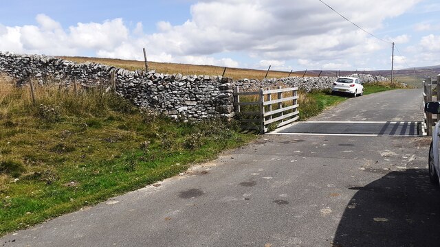
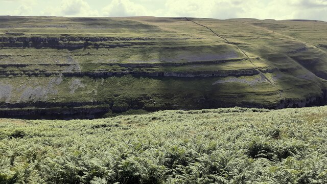
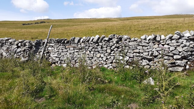
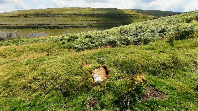
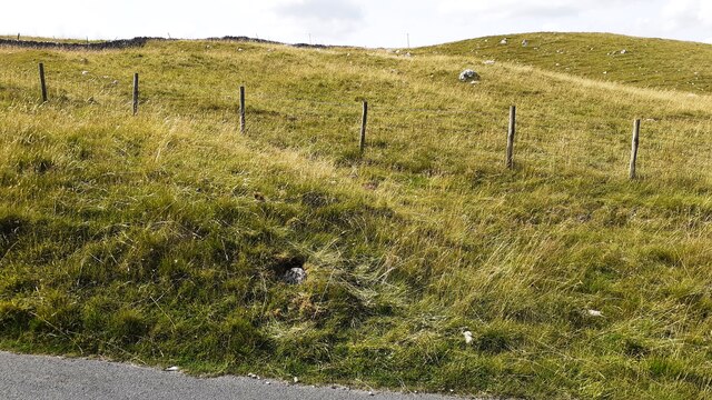
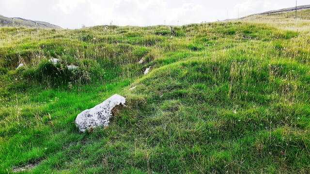
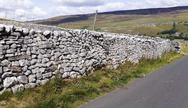
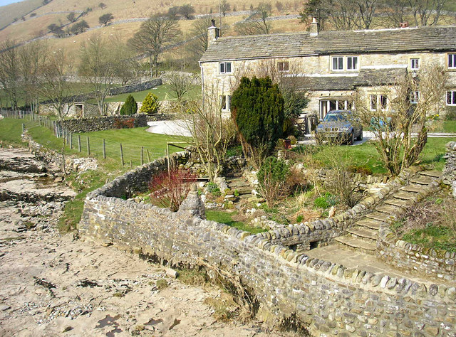
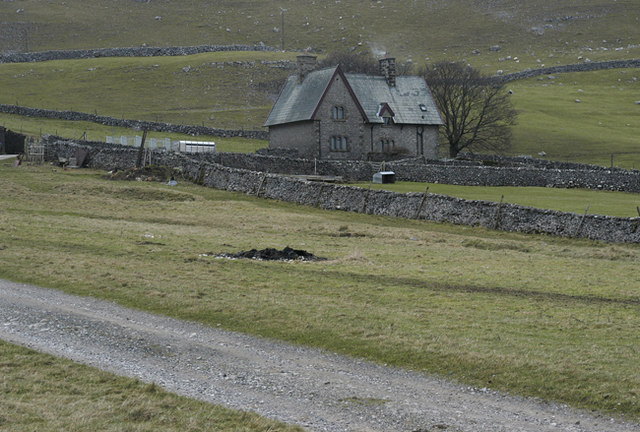
The village is nestled in a valley, surrounded by stunning limestone cliffs and rolling hills, offering breathtaking views of the surrounding countryside. It is renowned for its unspoiled beauty and tranquility, attracting visitors who seek a peaceful retreat or enjoy outdoor activities such as hiking, cycling, and birdwatching.

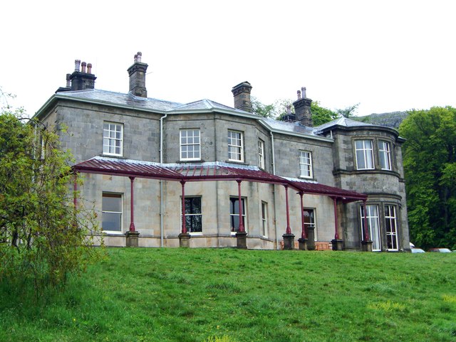
Arncliffe is steeped in history, with evidence of human settlement dating back to Roman times. The village itself boasts a rich heritage, with several notable buildings and landmarks. The parish church of St Oswald, a Grade II listed building, is a prominent feature in the village, dating back to the 15th century.

The local economy primarily relies on farming and tourism, with some residents engaged in traditional agricultural practices and others running guesthouses or holiday cottages to accommodate visitors. Despite its small size, Arncliffe has a close-knit community, and the village pub, The Falcon Inn, serves as a social hub for locals and visitors alike.

The village is also a popular filming location, known for its appearances in various television shows and movies, including the long-running British drama series "Emmerdale."

In summary, Arncliffe is a charming and idyllic village in the Yorkshire Dales, offering a peaceful retreat, stunning natural beauty, and a glimpse into the rich history and heritage of the region.

If you have any feedback on the listing, please let us know in the comments section below.
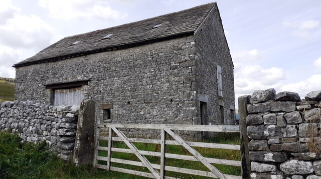
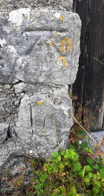
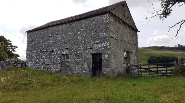
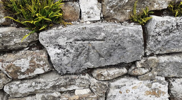
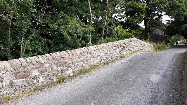
Arncliffe Images

Images are sourced within 2km of 54.132417/-2.11992 or Grid Reference SD9270. Thanks to Geograph Open Source API. All images are credited.

Benchmark on stone in wall at cattle grid at Nab End Ordnance Survey rivet benchmark levelled at 407.506m above Newlyn Datum verified in 1954
Benchmark on stone in wall at cattle grid at Nab End
Ordnance Survey rivet benchmark levelled at 407.506m above Newlyn Datum verified in 1954
Cattle grid across moorland road at Nab End There is an Ordnance Survey benchmark <a href="https://www.geograph.org.uk/photo/6924040">SD9170 : Benchmark on stone in wall at cattle grid at Nab End</a> on the dry stone wall left of the cattle grid about 4m from the road edge
Cattle grid across moorland road at Nab End
There is an Ordnance Survey benchmark SD9170 : Benchmark on stone in wall at cattle grid at Nab End on the dry stone wall left of the cattle grid about 4m from the road edge
View over bracken towards scars above Cowside Beck from moorland road
Benchmark on stone at base of wall on NW side of road above The Gill Ordnance Survey rivet benchmark levelled at 372.197m above Newlyn Datum verified 1954
Benchmark on stone at base of wall on NW side of road above The Gill
Ordnance Survey rivet benchmark levelled at 372.197m above Newlyn Datum verified 1954
View over roadside dry stone wall of moorland above The Gill There is an Ordnance Survey benchmark <a href="https://www.geograph.org.uk/photo/6924136">SD9170 : Benchmark on stone at base of wall on NW side of road above The Gill</a> on a stone at the base of the wall
View over roadside dry stone wall of moorland above The Gill
There is an Ordnance Survey benchmark SD9170 : Benchmark on stone at base of wall on NW side of road above The Gill on a stone at the base of the wall
Benchmark on boulder in field on SW side of road above Cowside Beck Ordnance Survey pivot benchmark levelled at  336.691m above Newlyn Datum verified 1954
Benchmark on boulder in field on SW side of road above Cowside Beck
Ordnance Survey pivot benchmark levelled at 336.691m above Newlyn Datum verified 1954
View from road SW of Arncliffe towards Cowside Beck valley There is an Ordnance Survey benchmark <a href="https://www.geograph.org.uk/photo/6924198">SD9271 : Benchmark on boulder in field on SW side of road above Cowside Beck</a> on the boulder in the middle foreground
View from road SW of Arncliffe towards Cowside Beck valley
There is an Ordnance Survey benchmark SD9271 : Benchmark on boulder in field on SW side of road above Cowside Beck on the boulder in the middle foreground
Benchmark on rock in NW verge of moorland road west of Brootes Barn Ordnance Survey rivet benchmark levelled at 285.461m above Newlyn Datum verified 1954
Benchmark on rock in NW verge of moorland road west of Brootes Barn
Ordnance Survey rivet benchmark levelled at 285.461m above Newlyn Datum verified 1954
Moorland NW of moorland road west of Brootes Barn There is an Ordnance Survey benchmark <a href="https://www.geograph.org.uk/photo/6924774">SD9271 : Benchmark on rock in NW verge of moorland road west of Brootes Barn</a> on the rock in the verge just left of centre of the image
Moorland NW of moorland road west of Brootes Barn
There is an Ordnance Survey benchmark SD9271 : Benchmark on rock in NW verge of moorland road west of Brootes Barn on the rock in the verge just left of centre of the image
Benchmark on rock in field off south side of road west of Brootes Barn Ordnance Survey pivot benchmark levelled at 268.108m above Newlyn Datum verified 1954
Benchmark on rock in field off south side of road west of Brootes Barn
Ordnance Survey pivot benchmark levelled at 268.108m above Newlyn Datum verified 1954
Grass moorland on south side of road west of Brootes Barn There is an Ordnance Survey benchmark <a href="https://www.geograph.org.uk/photo/6924811">SD9271 : Benchmark on rock in field off south side of road west of Brootes Barn</a> on the large rock in the foreground, left of centre
Grass moorland on south side of road west of Brootes Barn
There is an Ordnance Survey benchmark SD9271 : Benchmark on rock in field off south side of road west of Brootes Barn on the large rock in the foreground, left of centre
Benchmark on Brootes Barn Ordnance Survey cut mark benchmark levelled at 252.399m above Newlyn Datum verified 1954
Benchmark on Brootes Barn
Ordnance Survey cut mark benchmark levelled at 252.399m above Newlyn Datum verified 1954
Brootes Barn There is an Ordnance Survey benchmark <a href="https://www.geograph.org.uk/photo/6924875">SD9271 : Benchmark on Brootes Barn</a> on the right hand side of the barn at its front corner
Brootes Barn
There is an Ordnance Survey benchmark SD9271 : Benchmark on Brootes Barn on the right hand side of the barn at its front corner
Benchmark on Studdleber Barn, NW side Brootes Lane
Studdleber Barn, Brootes Lane There is an Ordnance Survey benchmark <a href="https://www.geograph.org.uk/photo/6924892">SD9271 : Benchmark on Studdleber Barn, NW side Brootes Lane</a> on the front of the barn on the left hand side of the wooden door
Studdleber Barn, Brootes Lane
There is an Ordnance Survey benchmark SD9271 : Benchmark on Studdleber Barn, NW side Brootes Lane on the front of the barn on the left hand side of the wooden door
Benchmark on NE parapet of bridge over Cowside Beck Ordnance Survey cut mark benchmark described on the Bench Mark Database at <span class="nowrap"><a title="www.bench-marks.org.uk/bm45300" rel="nofollow ugc noopener" href="http://www.bench-marks.org.uk/bm45300">Link</a><img style="margin-left:2px;" alt="External link" title="External link - shift click to open in new window" src="https://s1.geograph.org.uk/img/external.png" width="10" height="10"/></span>
Benchmark on NE parapet of bridge over Cowside Beck
Ordnance Survey cut mark benchmark described on the Bench Mark Database at LinkExternal link
NE parapet of bridge over Cowside Beck NW of centre of Arncliffe There is an Ordnance Survey benchmark <a href="https://www.geograph.org.uk/photo/6924903">SD9371 : Benchmark on NE parapet of bridge over Cowside Beck</a> on a stone in the parapet about 2m on the nearside of its apex
NE parapet of bridge over Cowside Beck NW of centre of Arncliffe
There is an Ordnance Survey benchmark SD9371 : Benchmark on NE parapet of bridge over Cowside Beck on a stone in the parapet about 2m on the nearside of its apex
Moorland road SW of Brootes Barn Ordnance Survey documents indicate that a benchmark levelled at 321.403m above Newlyn Datum was verified in 1954 on a boulder on the side of the road here
Moorland road SW of Brootes Barn
Ordnance Survey documents indicate that a benchmark levelled at 321.403m above Newlyn Datum was verified in 1954 on a boulder on the side of the road here
Show me another place!

Arncliffe is located at Grid Ref: SD9270 (Lat: 54.132417, Lng: -2.11992)

Division: West Riding

Administrative County: North Yorkshire

District: Craven

Police Authority: North Yorkshire

What 3 Words

///handyman.relished.popular. Near Grassington, North Yorkshire

Nearby Locations

Arncliffe

Related Wikis

Nearby Amenities

Located within 500m of 54.132417,-2.11992
Barrier: stile
Lat/Long: 54.1297598/-2.122546
The data included in this document is from www.openstreetmap.org. The data is made available under ODbL.

Have you been to Arncliffe?

Leave your review of Arncliffe below (or comments, questions and feedback).