Brighouse
Settlement in Yorkshire
England
Brighouse
Brighouse is a small town located in the metropolitan borough of Calderdale, West Yorkshire, England. Situated alongside the River Calder, it lies approximately 11 miles east of Huddersfield and 6 miles south-west of Bradford. The town has a population of around 32,000 residents.
Brighouse is known for its rich industrial history, dating back to the 19th century. During this time, it thrived as a major center for textile manufacturing, particularly in the production of cotton. The impact of this industrial heritage can still be seen today in the town's architecture, with many former mills and warehouses repurposed for modern use.
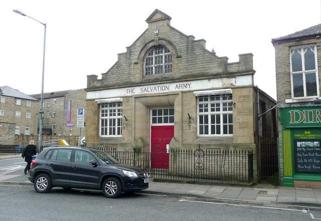
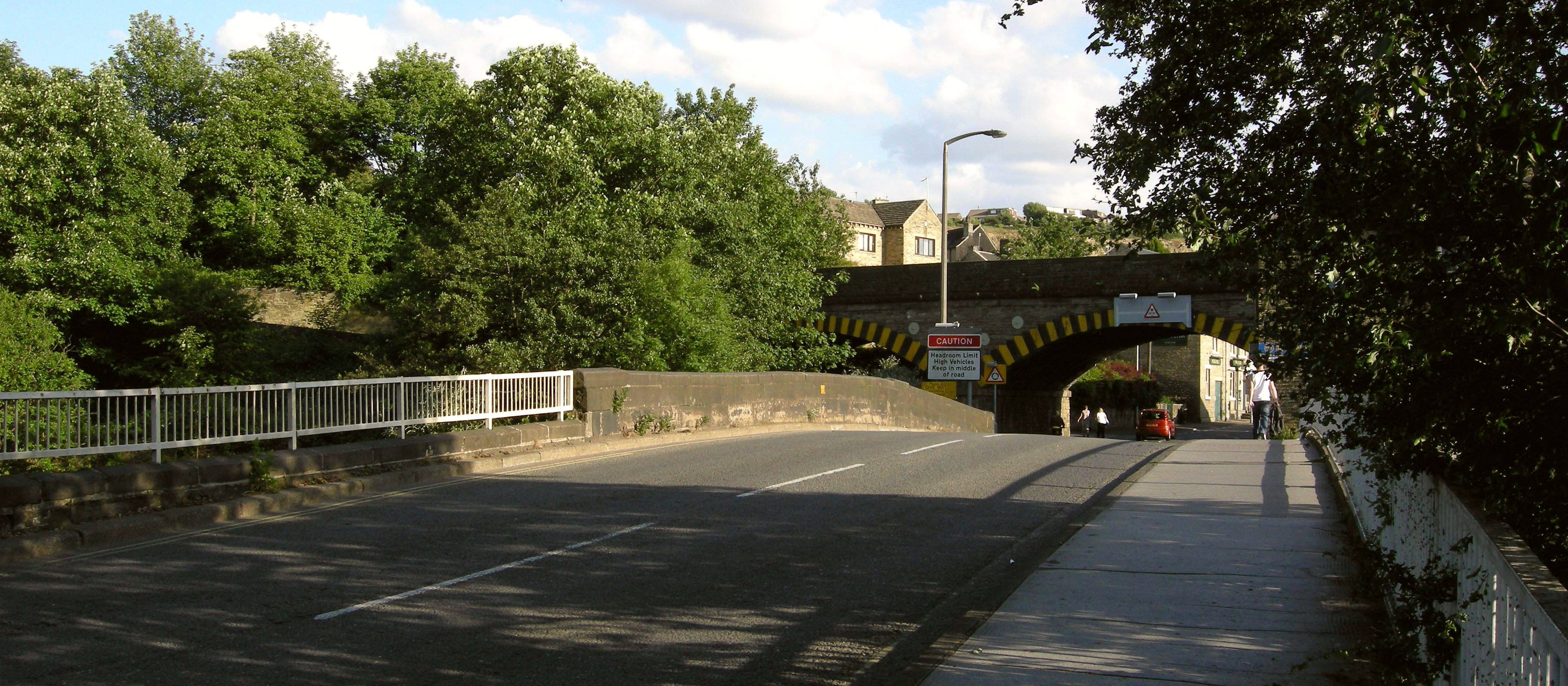
The town center of Brighouse offers a variety of amenities, including shops, cafes, restaurants, and traditional pubs. The bustling outdoor market, held every Wednesday, attracts locals and visitors alike. Notable landmarks in Brighouse include the iconic 19th-century bridge spanning the River Calder, as well as the Brighouse and Rastrick Brass Band, which has gained international acclaim.
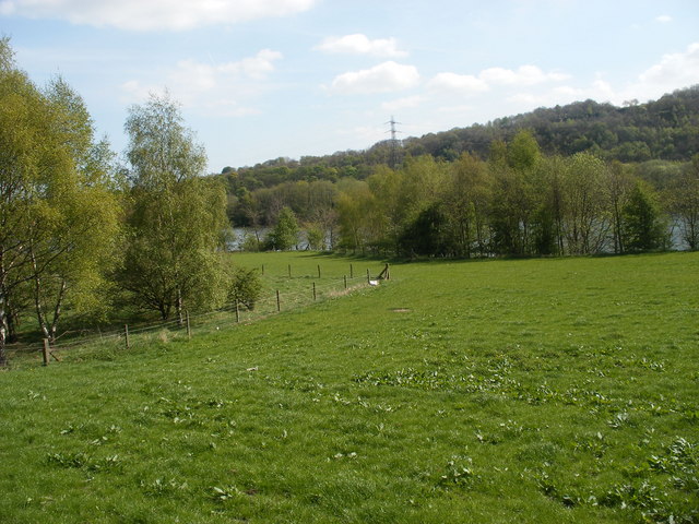
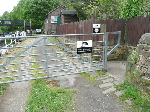
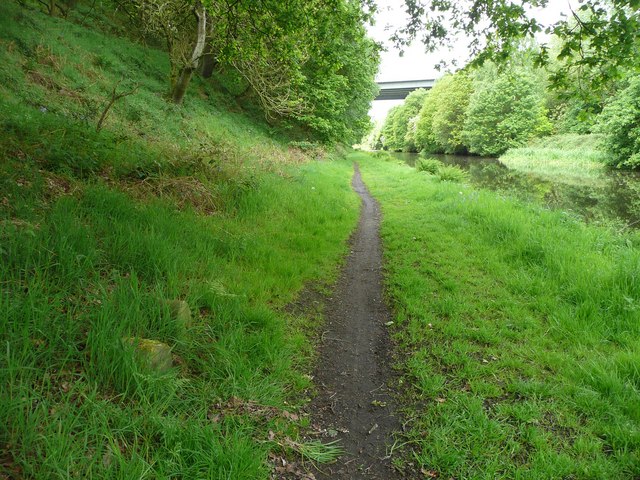
For outdoor enthusiasts, the surrounding countryside provides numerous opportunities for exploration. The nearby Calderdale Way offers scenic walking trails, while the picturesque Calder and Hebble Navigation canal is popular for boating and fishing.
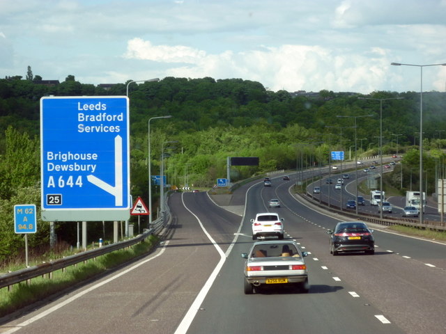
Transportation in Brighouse is well-connected, with the town situated along the A641 road and having its own railway station, providing frequent services to neighboring towns and cities.
Overall, Brighouse offers a blend of history, natural beauty, and modern amenities, making it an attractive place to live and visit in Yorkshire.
If you have any feedback on the listing, please let us know in the comments section below.
Brighouse Images
Images are sourced within 2km of 53.700082/-1.781095 or Grid Reference SE1422. Thanks to Geograph Open Source API. All images are credited.


Brighouse is located at Grid Ref: SE1422 (Lat: 53.700082, Lng: -1.781095)
Division: West Riding
Unitary Authority: Calderdale
Police Authority: West Yorkshire
What 3 Words
///risky.status.sugars. Near Brighouse, West Yorkshire
Nearby Locations
Related Wikis

Brighouse Bridge
The Brighouse Bridge crosses the River Calder in Brighouse, West Yorkshire, England. It was built in 1825 as part of the Halifax and Huddersfield Turnpike...

Brighouse Town Hall
Brighouse Town Hall is a former municipal building in Thornton Square, Brighouse, West Yorkshire, England. The town hall, which was the headquarters of...
Rastrick Bridge
Rastrick Bridge crosses the River Calder in Brighouse, West Yorkshire, England. It was built in 1558 as a replacement for an earlier wooden bridge and...

Brighouse railway station
Brighouse railway station serves the town of Brighouse in West Yorkshire, England. The station lies on the Calder Valley line running west from Leeds....
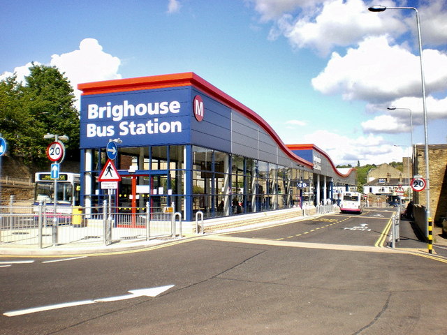
Brighouse bus station
Brighouse bus station serves the town of Brighouse, West Yorkshire, England. The bus station is owned and managed by West Yorkshire Metro. The bus station...
Clifton Road railway station
Clifton Road was a railway station built by the Lancashire and Yorkshire Railway to serve the village of Clifton north east of Brighouse in West Yorkshire...

Rastrick High School
Rastrick High School is a mixed-gender 11–16 Secondary School, placed in the top 90 non selective schools nationally and in the top 20 schools regionally...

Blakeborough's Bridge
Blakeborough's Bridge crosses the River Calder in Brighouse, West Yorkshire, England. It was built in 1962 to link J. Blakeborough and Sons works and offices...
Nearby Amenities
Located within 500m of 53.700082,-1.781095Have you been to Brighouse?
Leave your review of Brighouse below (or comments, questions and feedback).