Appleton
Civil Parish in Cheshire
England
Appleton

Appleton, Cheshire is a civil parish located in the county of Cheshire, England. It is situated approximately 4 miles southwest of the town of Warrington and covers an area of around 7.5 square miles. The parish is predominantly rural, with a population of around 1,500 people.
The village of Appleton is the main settlement within the parish and is known for its picturesque countryside and charming village atmosphere. It has a long history dating back to at least the medieval period, and some buildings in the village still retain their historic character. The parish also includes the smaller settlements of Appleton Thorn, Bradley, Dudlow's Green, and Stretton.
The area is known for its agricultural heritage, with much of the land used for farming and livestock rearing. The landscape is characterized by rolling hills, open fields, and small woodlands, making it a popular destination for outdoor enthusiasts and nature lovers.
Appleton is well-connected to other parts of Cheshire and neighboring counties, with good road links to nearby towns and cities. The M56 motorway runs to the south of the parish, providing easy access to Manchester and Liverpool. The village also has a primary school, a church, a village hall, and a few local amenities to cater to the needs of its residents.
Overall, Appleton, Cheshire offers a peaceful and idyllic lifestyle, with its rural setting, historic charm, and close proximity to larger urban centers.
If you have any feedback on the listing, please let us know in the comments section below.
Appleton Images
Images are sourced within 2km of 53.352417/-2.559438 or Grid Reference SJ6284. Thanks to Geograph Open Source API. All images are credited.


Appleton is located at Grid Ref: SJ6284 (Lat: 53.352417, Lng: -2.559438)
Unitary Authority: Warrington
Police Authority: Cheshire
What 3 Words
///value.charmingly.runs. Near Appleton Thorn, Cheshire
Nearby Locations
Related Wikis
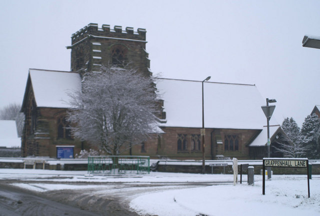
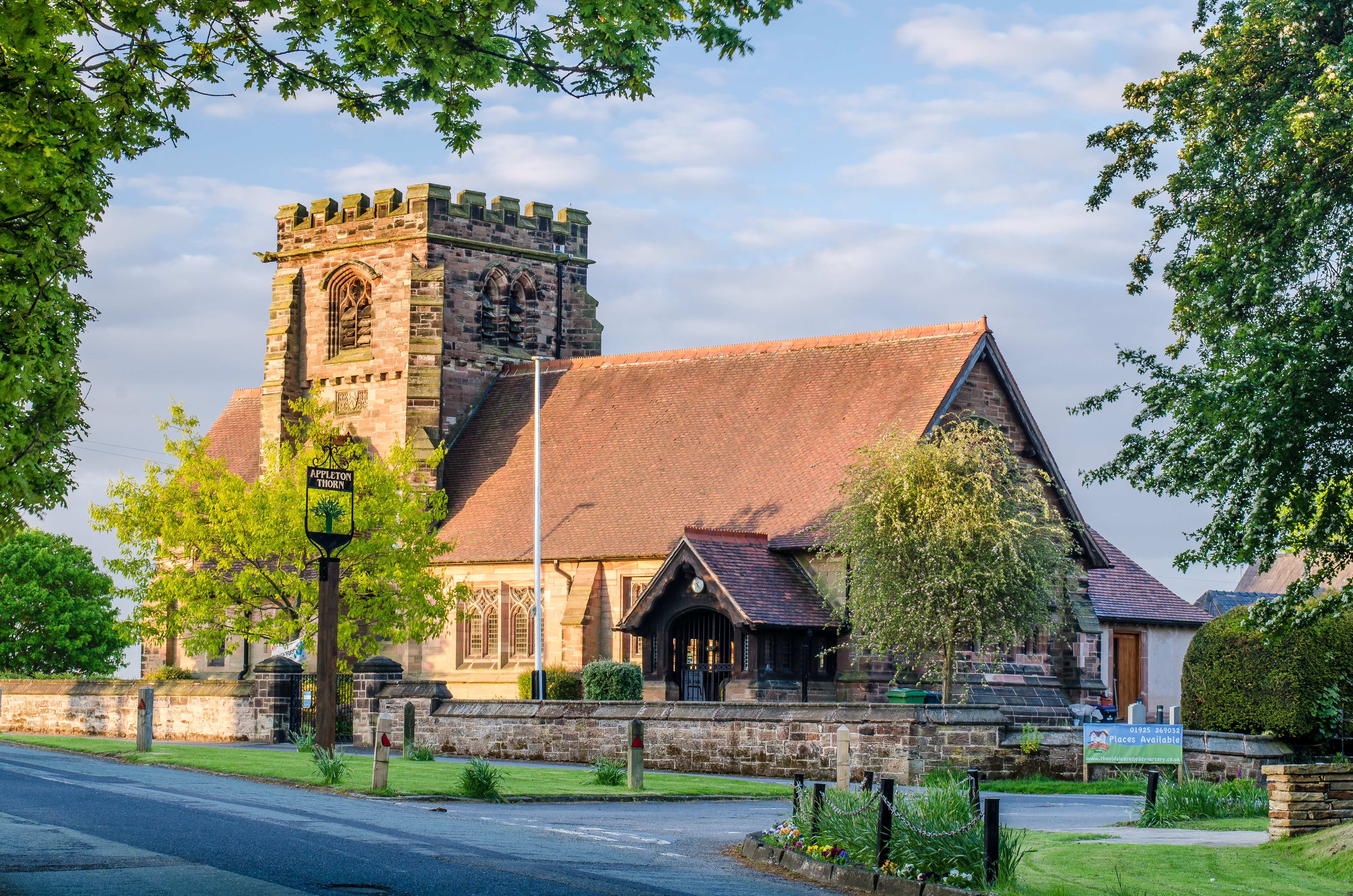
St Cross Church, Appleton Thorn
St Cross Church is in the village of Appleton Thorn, Cheshire, England. The church is recorded in the National Heritage List for England as a designated...

Appleton, Warrington
Appleton is a civil parish and suburb of Warrington, in the Warrington district, in the ceremonial county of Cheshire, England. == Geography and landmarks... ==
Appleton Thorn
Appleton Thorn is a village in the borough of Warrington in Cheshire, England. Appleton appeared in the Domesday survey as Epeltune, meaning "the tun where...
Bridgewater High School, Warrington
Bridgewater High School is a coeducational secondary school, located over two sites in Appleton, Warrington, Cheshire. The current principal is Keiron...
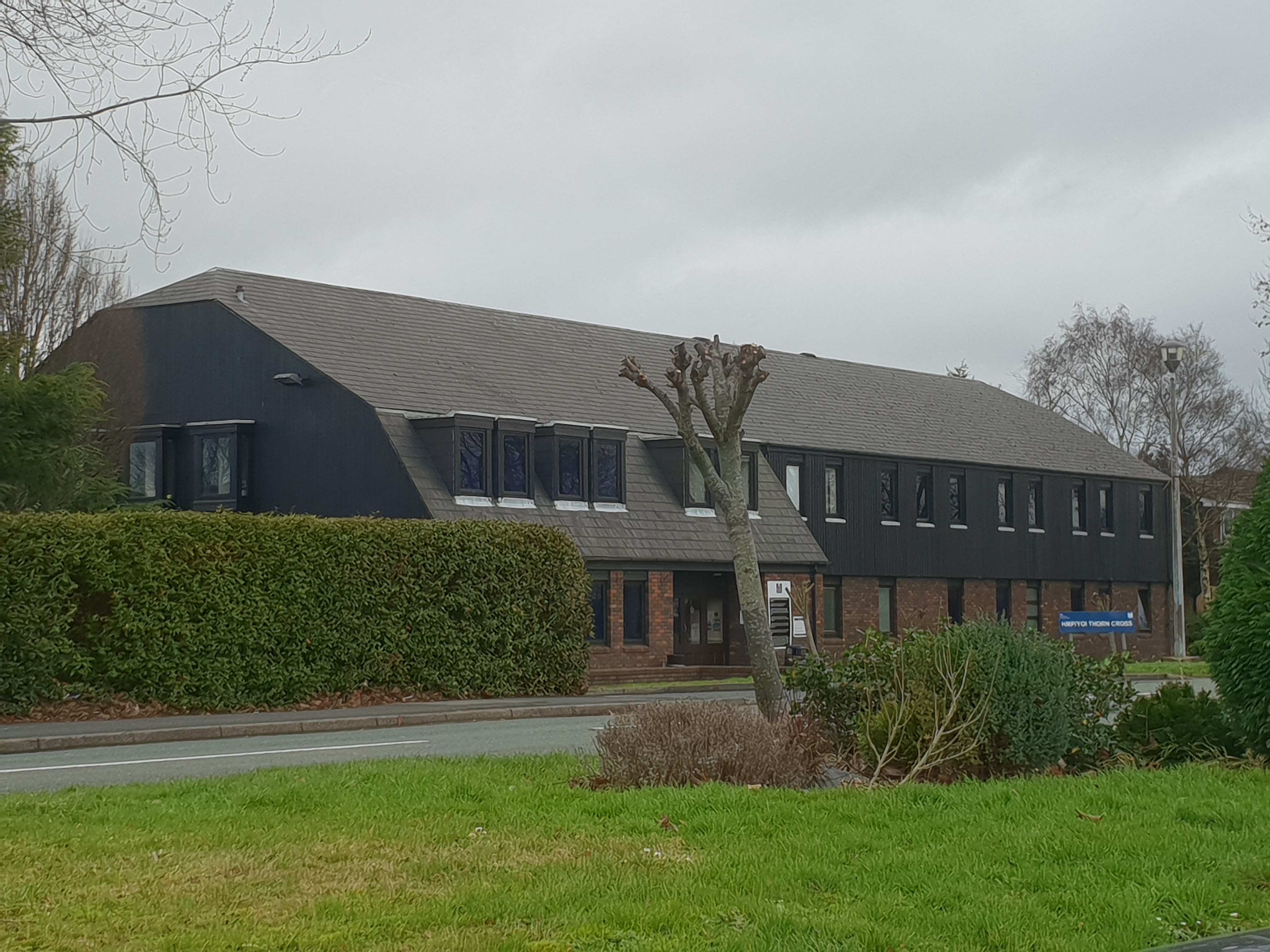
HM Prison Thorn Cross
HM Prison Thorn Cross is a Category D Adult Male Institution for males it previously was for young men aged 18-25. More recently changing to an open Cat...
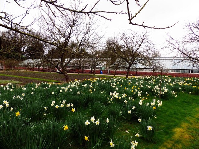
Grappenhall Heys Walled Garden
Grappenhall Heys Walled Garden is a historic walled garden in Grappenhall, Warrington, Cheshire, England. The garden was built by Thomas Parr around 1830...

St Matthew's Church, Stretton
St Matthew's Church is in the village of Stretton, Cheshire, England. The church is recorded in the National Heritage List for England as a designated...

Warrington South (UK Parliament constituency)
Warrington South is a constituency represented in the House of Commons of the UK Parliament since 2019 by Andy Carter, a Conservative Party politician...
Nearby Amenities
Located within 500m of 53.352417,-2.559438Have you been to Appleton?
Leave your review of Appleton below (or comments, questions and feedback).