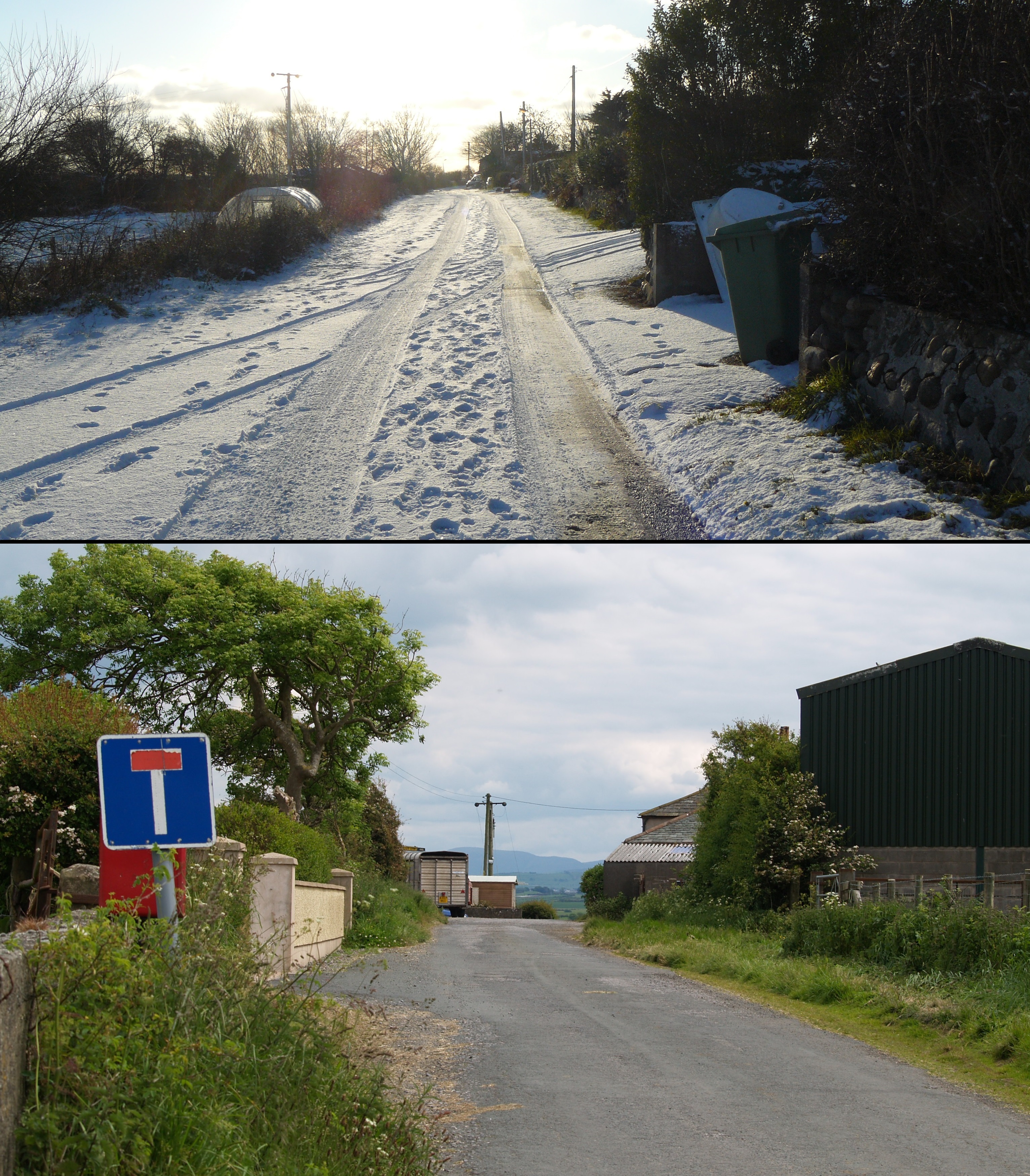
Allonby

Civil Parish in Cumberland Allerdale

England

Allonby

B5300 at Allonby village boundary
B5300 at Allonby village boundary Credit: Colin Pyle

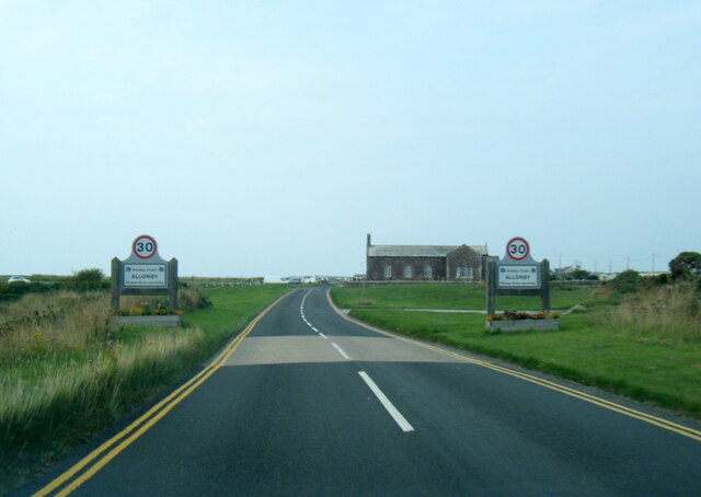
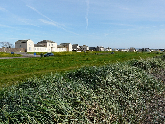
Allonby is a civil parish located in the Allerdale district of the county of Cumbria, in northwest England. Situated on the coast of the Solway Firth, Allonby is a small village with a population of around 500 people. The parish covers an area of approximately 5 square kilometers.

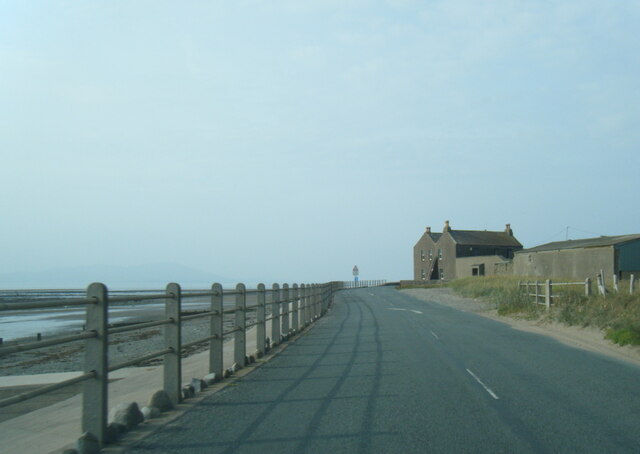
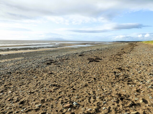
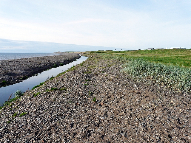
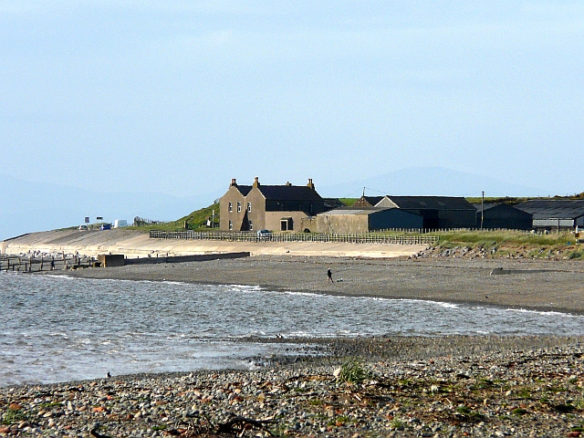
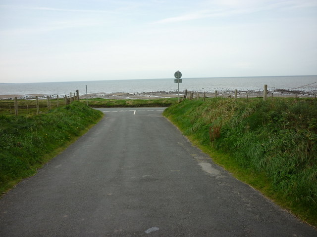
Allonby is known for its picturesque beach, which stretches for about 3 kilometers along the coastline. The beach attracts visitors from nearby towns and cities, especially during the summer months, and offers stunning views across the Solway Firth towards the Scottish coastline. The area is also popular with birdwatchers, as it serves as a habitat for various species of seabirds.

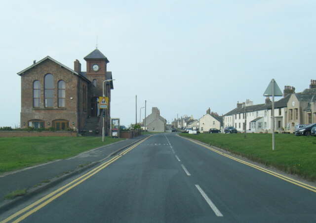
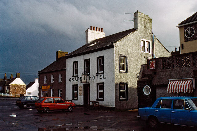
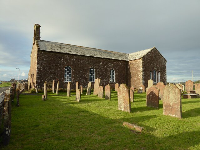
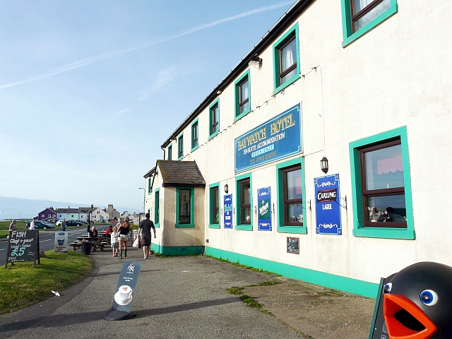
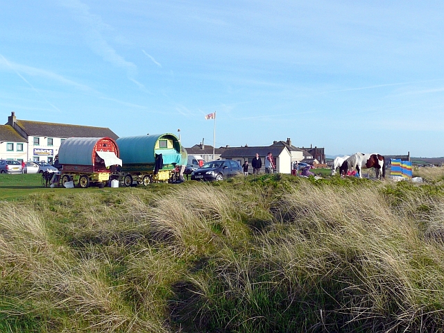
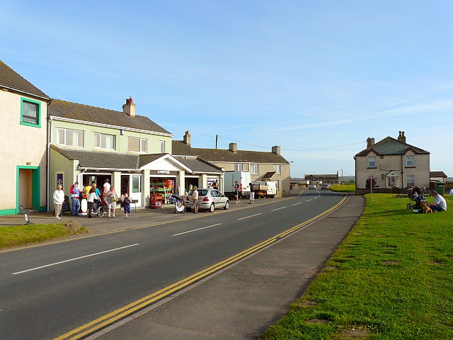
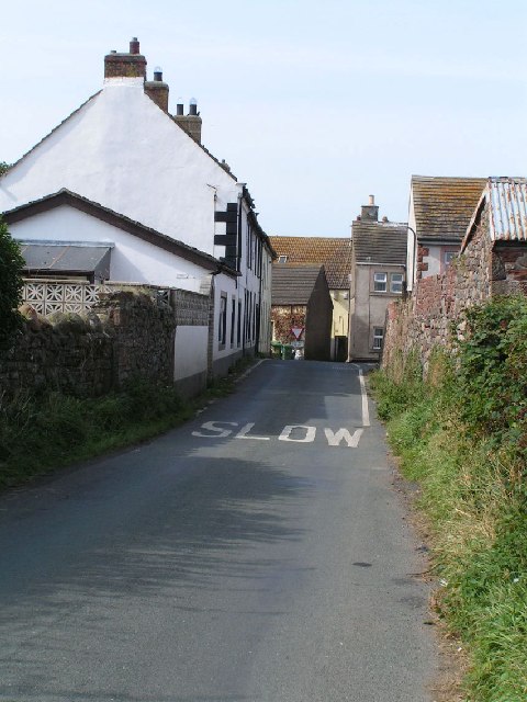
The village itself has a charming and traditional feel, with a range of historic buildings and cottages. The parish church, dedicated to St. Michael, is a notable landmark and dates back to the 12th century. There are also a few local shops, cafes, and pubs that cater to both residents and tourists.

In terms of amenities, Allonby has a primary school, a community center, and a playground. The village hosts various events throughout the year, including a popular annual carnival that attracts visitors from the surrounding areas. Additionally, the Allonby Bay Surf Lifesaving Club offers water safety training and organizes competitions for swimmers and surfers.

Overall, Allonby is a tranquil and scenic coastal village that offers a peaceful retreat for residents and a delightful destination for tourists seeking natural beauty and seaside activities.

If you have any feedback on the listing, please let us know in the comments section below.
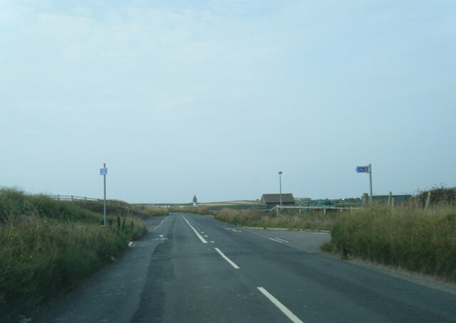
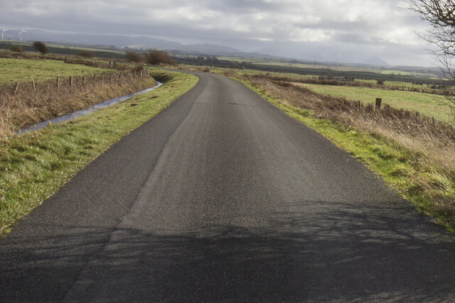
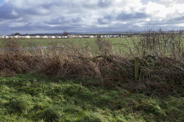
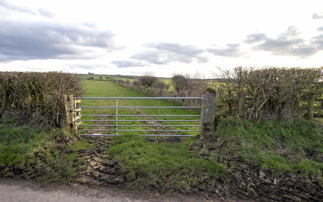
Allonby Images

Images are sourced within 2km of 54.777562/-3.421337 or Grid Reference NY0843. Thanks to Geograph Open Source API. All images are credited.

B5300 at Allonby village boundary
B5300 in Allonby village
B5300 north of Allonby
B5300 nearing Seacroft Farm
Road and ditch
Road and ditch
Manor House Park Mobile homes at Manor House Park
Manor House Park
Mobile homes at Manor House Park
Grapes Hotel, Allonby Long since closed and now a private house.
Grapes Hotel, Allonby
Long since closed and now a private house.
Gateway to field Gateway to field near Bowscale Farm
Gateway to field
Gateway to field near Bowscale Farm
Beach at Allonby Near the car park at Toll Gate House
Beach at Allonby
Near the car park at Toll Gate House
Christ Church An historic sea front Church and Sunday School
Christ Church
An historic sea front Church and Sunday School
North Lodge Built as Quaker's almshouses with an adjoining walled burial plot (to the left in this view)
North Lodge
Built as Quaker's almshouses with an adjoining walled burial plot (to the left in this view)
The Baywatch Hotel, Allonby On Main Street, overlooking the sea - hotel website : <span class="nowrap"><a title="http://www.baywatchhotelallonby.co.uk/index.html" rel="nofollow ugc noopener" href="http://www.baywatchhotelallonby.co.uk/index.html">Link</a><img style="margin-left:2px;" alt="External link" title="External link - shift click to open in new window" src="https://s1.geograph.org.uk/img/external.png" width="10" height="10"/></span> .
The Baywatch Hotel, Allonby
On Main Street, overlooking the sea - hotel website : LinkExternal link .
Gypsy caravans on the green, Allonby Easter weekend, ideal weather for a trip to the seaside.
Gypsy caravans on the green, Allonby
Easter weekend, ideal weather for a trip to the seaside.
West End, Allonby On the coast road between Silloth and Maryport, with Twentyman's famous ice cream shop on the left, Toll Gate House on the right.
West End is at the south of the village, so we're wondering how it got that name.
West End, Allonby
On the coast road between Silloth and Maryport, with Twentyman's famous ice cream shop on the left, Toll Gate House on the right. West End is at the south of the village, so we're wondering how it got that name.
Allonby Beck You can't see this stream from the nearby car park, so it was a surprise to find that a quick walk to the sea would require an extra paddle (there are several bridges near the centre of Allonby village).
Allonby Beck
You can't see this stream from the nearby car park, so it was a surprise to find that a quick walk to the sea would require an extra paddle (there are several bridges near the centre of Allonby village).
Green to the north of Allonby village View from beside <a href="https://www.geograph.org.uk/photo/2410604">NY0843 : Allonby Beck</a> . The large building on the left is <a href="https://www.geograph.org.uk/photo/598270">NY0843 : North Lodge, Allonby</a>.
Green to the north of Allonby village
View from beside NY0843 : Allonby Beck . The large building on the left is NY0843 : North Lodge, Allonby.
Seacroft Farm Zoomed-in view from Allonby. Crossing the shore at the left is the enclosed outflow of the Black Dub Stream.
Seacroft Farm
Zoomed-in view from Allonby. Crossing the shore at the left is the enclosed outflow of the Black Dub Stream.
The road from Mawbray rejoins the B5300
Show me another place!

Allonby is located at Grid Ref: NY0843 (Lat: 54.777562, Lng: -3.421337)

Administrative County: Cumbria

District: Allerdale

Police Authority: Cumbria

What 3 Words

///restores.starlight.barmaid. Near Aspatria, Cumbria

Nearby Locations

Allonby

Related Wikis

Allonby

Allonby is a village on the coast of Cumberland in Cumbria, England. The village is on the B5300 road 5 miles (8.0 km) north of Maryport and 8 miles...

Salta Moss

Salta Moss is a raised blanket mire which is a Site of Special Scientific Interest ('SSSI') located in the hamlet of Salta, in Cumbria, United Kingdom...

Salta, Cumbria

Salta is a hamlet in the parish of Holme St Cuthbert in northwestern Cumbria, United Kingdom. It is 1.1 miles (1.8 km) southwest of the village of Mawbray...
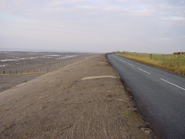
Allonby Bay

Allonby Bay is a crescent-shaped bay of the Solway Firth on the north-western shore of Cumbria, England. The bay is 5.5 miles (8.9 km) across. Its northern...

Dubmill

Dubmill is a settlement in the civil parish of Holme St. Cuthbert in Cumbria, United Kingdom. It is located approximately one mile south-west of the village...
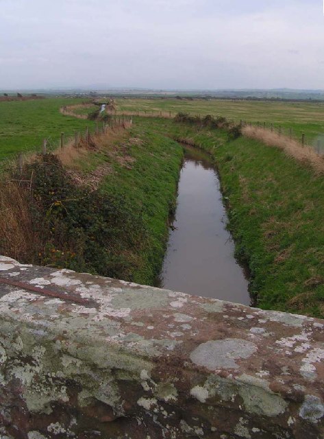
Black Dub (stream)

The Black Dub is a stream in Cumbria, United Kingdom. It rises to the west of the village of Langrigg, in the civil parish of Bromfield, where it is known...

Milefortlet 17

Milefortlet 17 (Dubmill Point) was a Milefortlet of the Roman Cumbrian Coast defences. These milefortlets and intervening stone watchtowers extended from...

Milefortlet 20

Milefortlet 20 (Low Mire) was a Milefortlet of the Roman Cumbrian Coast defences. These milefortlets and intervening stone watchtowers extended from the...

Nearby Amenities

Located within 500m of 54.777562,-3.421337
Turning Circle
Lat/Long: 54.7768801/-3.4274051
Bar
Spring Lea
Lat/Long: 54.7762271/-3.4269097
Spring Lea
Leisure: swimming_pool
Lat/Long: 54.7763794/-3.4269173
Turning Circle
Lat/Long: 54.7767606/-3.428559
Power: pole
Lat/Long: 54.7786203/-3.4277703
Power: pole
Lat/Long: 54.7778918/-3.426796
Power: pole
Lat/Long: 54.7767081/-3.4266049
Power: pole
Lat/Long: 54.7794182/-3.4279842
The data included in this document is from www.openstreetmap.org. The data is made available under ODbL.

Have you been to Allonby?

Leave your review of Allonby below (or comments, questions and feedback).