Briery Hill
Settlement in Monmouthshire
Wales
Briery Hill

Briery Hill is a small village located in the county of Monmouthshire, Wales. Situated in the picturesque Usk Valley, it is surrounded by rolling hills and lush green countryside. The village is situated approximately 5 miles northeast of the town of Abergavenny and 15 miles west of the city of Monmouth.
With a population of around 200 residents, Briery Hill maintains a close-knit and friendly community atmosphere. The village is primarily residential, consisting of a mix of traditional Welsh cottages and more modern houses. The architecture reflects the rural charm of the area, with many buildings constructed from local stone.
Although small in size, Briery Hill offers a range of amenities to its residents. It has a local pub, which serves as a hub for social gatherings and community events. The village also has a community center that hosts various activities and clubs, providing opportunities for residents to come together and engage in recreational pursuits.
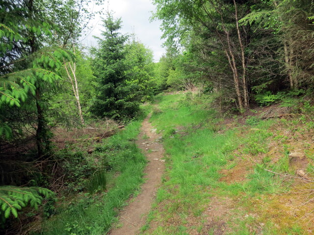
Nature enthusiasts will appreciate the abundance of outdoor activities available in the surrounding area. The nearby Usk Valley offers stunning panoramic views, with opportunities for hiking, cycling, and horseback riding. The village is also close to the Brecon Beacons National Park, a renowned area of natural beauty, where visitors can explore the rugged landscapes and enjoy the tranquility of the Welsh countryside.
Overall, Briery Hill is a charming rural village that offers residents a peaceful and idyllic lifestyle, surrounded by natural beauty and a strong sense of community.
If you have any feedback on the listing, please let us know in the comments section below.
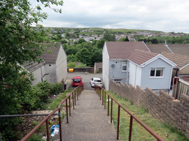
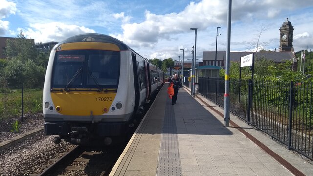
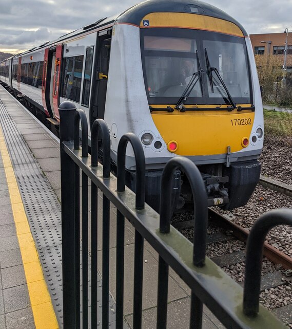
Briery Hill Images
Images are sourced within 2km of 51.771573/-3.212308 or Grid Reference SO1608. Thanks to Geograph Open Source API. All images are credited.


Briery Hill is located at Grid Ref: SO1608 (Lat: 51.771573, Lng: -3.212308)
Unitary Authority: Blaenau Gwent
Police Authority: Gwent
What 3 Words
///romance.verb.helper. Near Ebbw Vale, Blaenau Gwent
Nearby Locations
Related Wikis
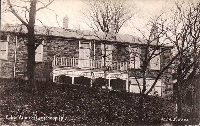
Ebbw Vale Hospital
Ebbw Vale Hospital (Welsh: Ysbyty Ebbw Vale) was a community hospital in Ebbw Vale, Wales. It was managed by the Aneurin Bevan University Health Board...

Ebbw Vale South
Ebbw Vale South is a community and electoral ward in Blaenau Gwent, South Wales, including the south of the town of Ebbw Vale. It was formed in 2010 from...
Ebbw Vale Steelworks
Ebbw Vale Steelworks was an integrated steel mill located in Ebbw Vale, South Wales. Developed from 1790, by the late 1930s it had become the largest steel...
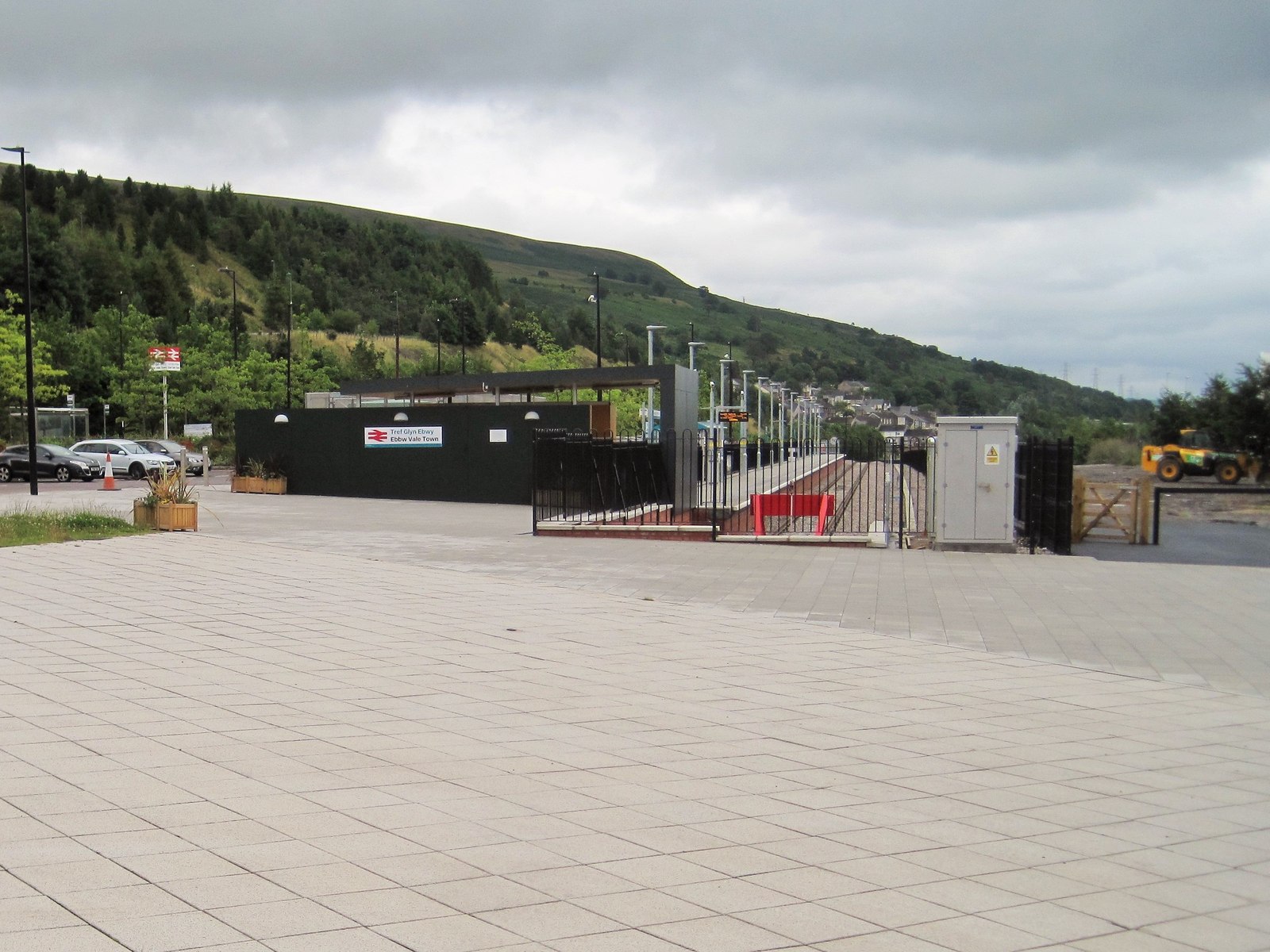
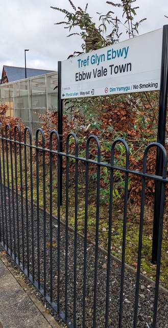
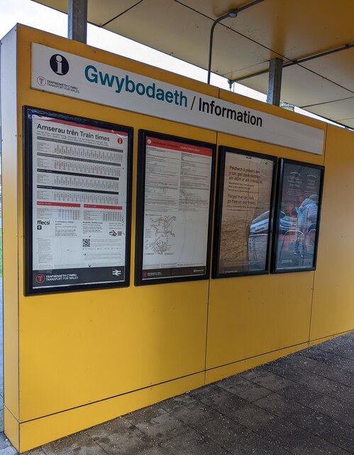
Ebbw Vale Town railway station
Ebbw Vale Town railway station (Welsh: Gorsaf rheilffordd Tref Glyn Ebwy) serves the town centre of Ebbw Vale in Blaenau Gwent, Wales, serving as the terminus...
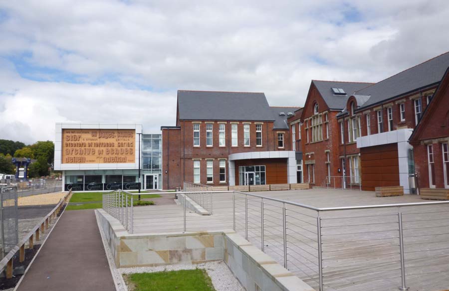
Gwent Archives
Gwent Archives (Welsh: Archifau Gwent) is the local records office and genealogy centre, based in Ebbw Vale, South Wales for the historic county of Monmouthshire...
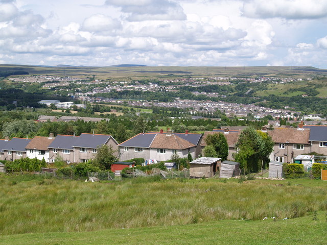
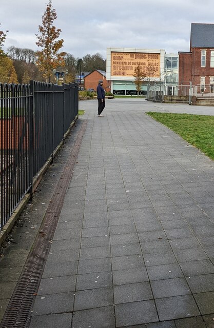
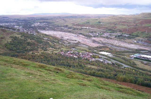
Ebbw Vale
Ebbw Vale (; Welsh: Glynebwy) is a town at the head of the valley formed by the Ebbw Fawr tributary of the Ebbw River in Wales. It is the largest town...
Ysbyty Aneurin Bevan
Ysbyty Aneurin Bevan (English: Aneurin Bevan Hospital) is a community hospital in Ebbw Vale, Wales. It is managed by the Aneurin Bevan University Health...

Ebbw Vale bus station
Ebbw Vale bus station (Welsh: Gorsaf bws Glyn Ebwy), also known as Inner Bypass, is a bus terminus located in the town centre of Ebbw Vale, South Wales...
Nearby Amenities
Located within 500m of 51.771573,-3.212308Have you been to Briery Hill?
Leave your review of Briery Hill below (or comments, questions and feedback).