Aldham
Civil Parish in Suffolk Babergh
England
Aldham
Aldham is a civil parish located in the county of Suffolk, England. Situated approximately 10 miles north of Colchester, the parish covers an area of about 7.5 square miles. The village of Aldham itself is small, with a population of around 500 residents.
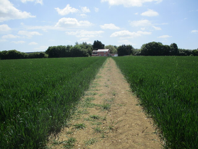
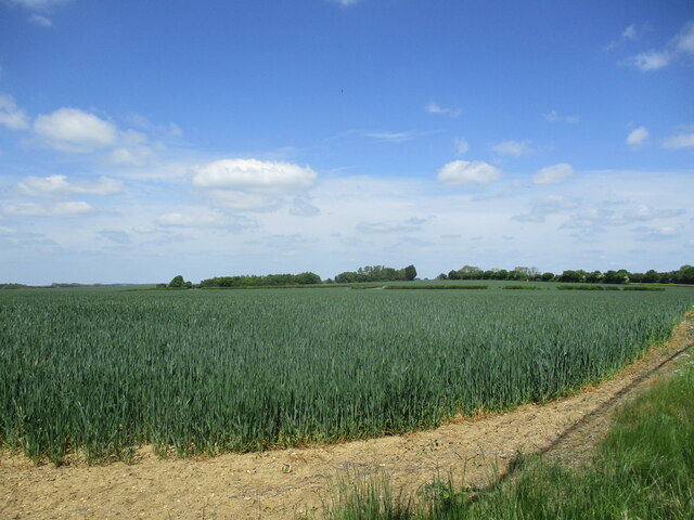
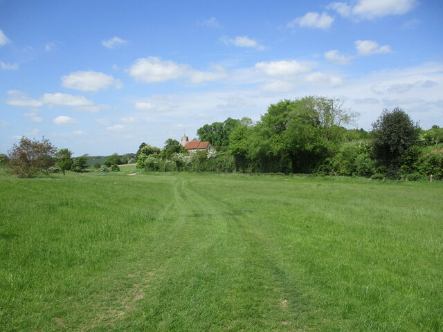
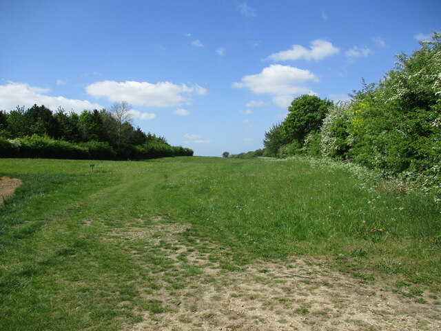
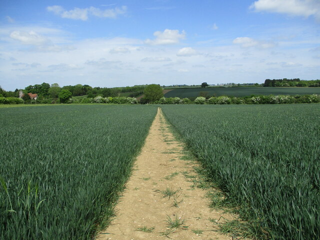
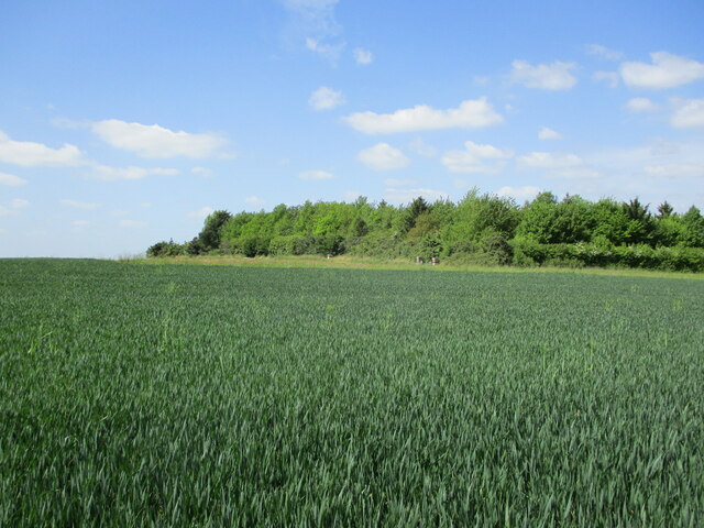
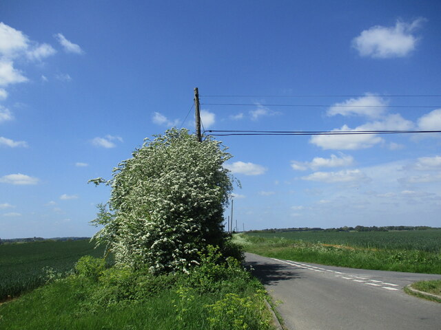
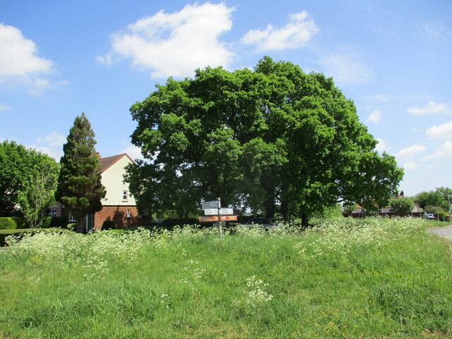
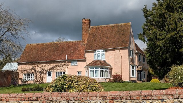
The parish is predominantly rural, characterized by picturesque countryside landscapes, farmland, and scattered woodlands. It is surrounded by several other small villages, including Elmstead Market, Great Bromley, and Little Bentley. The River Colne runs through the eastern part of the parish, providing a scenic backdrop for walkers and nature enthusiasts.
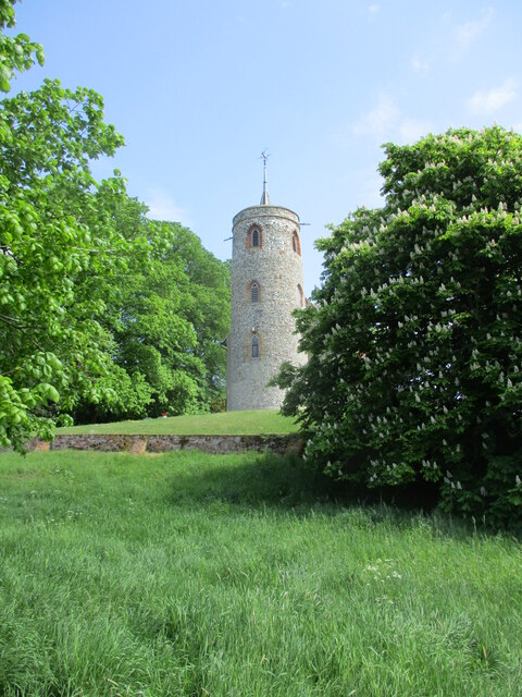
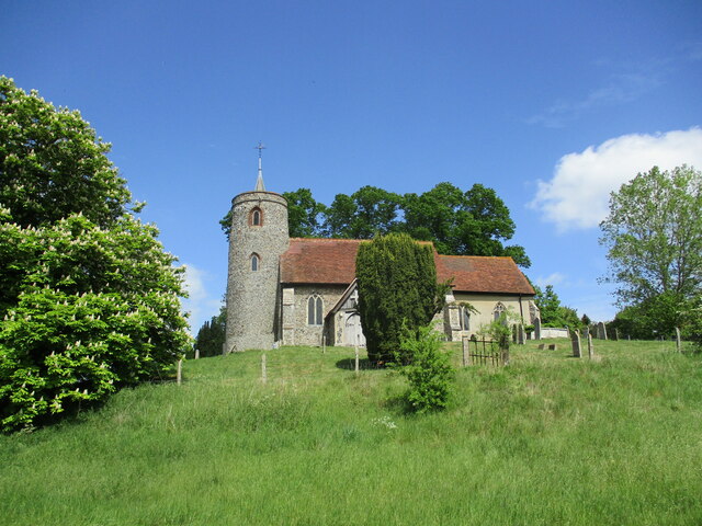
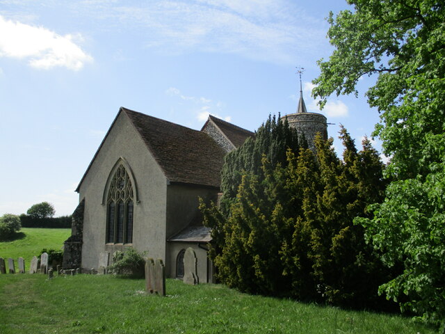
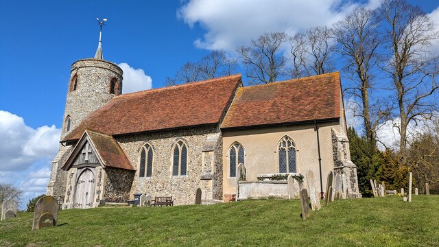
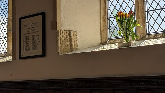
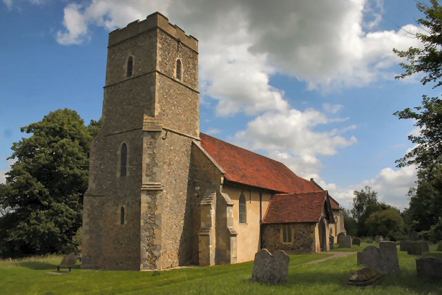
Aldham has a rich history dating back to medieval times. The village is home to St. Margaret's Church, a Grade I listed building that dates back to the 12th century. The church features beautiful stained-glass windows and a striking tower, making it a notable architectural landmark in the area.
In terms of amenities, Aldham offers limited services within the village itself. However, nearby towns and villages provide essential facilities such as schools, shops, and healthcare services. The parish is well-connected by road, with the A1124 and A137 passing through its boundaries, providing access to larger towns and cities in the region.
Overall, Aldham, Suffolk, is a charming rural parish that offers a peaceful and idyllic setting for its residents. Its historical landmarks and natural beauty make it an attractive destination for those seeking a slower pace of life away from the hustle and bustle of urban areas.
If you have any feedback on the listing, please let us know in the comments section below.
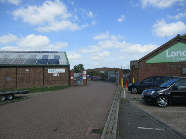
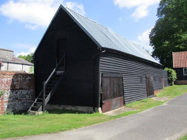
Aldham Images
Images are sourced within 2km of 52.065052/0.977357 or Grid Reference TM0444. Thanks to Geograph Open Source API. All images are credited.
Aldham is located at Grid Ref: TM0444 (Lat: 52.065052, Lng: 0.977357)
Administrative County: Suffolk
District: Babergh
Police Authority: Suffolk
What 3 Words
///noodle.situation.sprawls. Near Hadleigh, Suffolk
Nearby Locations
Related Wikis

Aldham, Suffolk
Aldham is a village and civil parish in the Babergh district of Suffolk, England. Located around 8 miles (13 km) west of Ipswich, in 2005 it had a population...
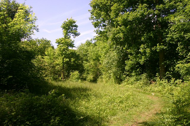
Wolves Wood
Wolves Wood is a woodland near Hadleigh, Suffolk. It is one of 7 ancient woodland areas within Suffolk. An ancient woodland is defined as a site that has...
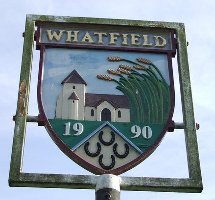
Whatfield
Whatfield is a village and civil parish in Suffolk, England. Located around 2 miles (3.2 km) north of Hadleigh, it is part of Babergh district. == Origin... ==
Elmsett
Elmsett is a village and civil parish in Suffolk, England. Located around three miles north-east of Hadleigh, it is in Babergh district. In 2005, it had...

Hadleigh, Suffolk
Hadleigh () is an ancient market town and civil parish in South Suffolk, East Anglia, situated, next to the River Brett, between the larger towns of Sudbury...

Hadleigh High School
Hadleigh High School is situated on Highlands Road in Hadleigh, Suffolk, England. It is a secondary school with academy status, and has around 760 pupils...
Silverstone Classic
The Silverstone Classic is an annual three-day car and race event at the Silverstone Circuit, home of the British Grand Prix. The event features hundreds...

Elmsett Park Wood
Elmsett Park Wood is an 8.6-hectare (21-acre) biological Site of Special Scientific Interest east of Elmsett in Suffolk.This coppice with standards site...
Nearby Amenities
Located within 500m of 52.065052,0.977357Have you been to Aldham?
Leave your review of Aldham below (or comments, questions and feedback).