Aldermaston
Civil Parish in Berkshire
England
Aldermaston
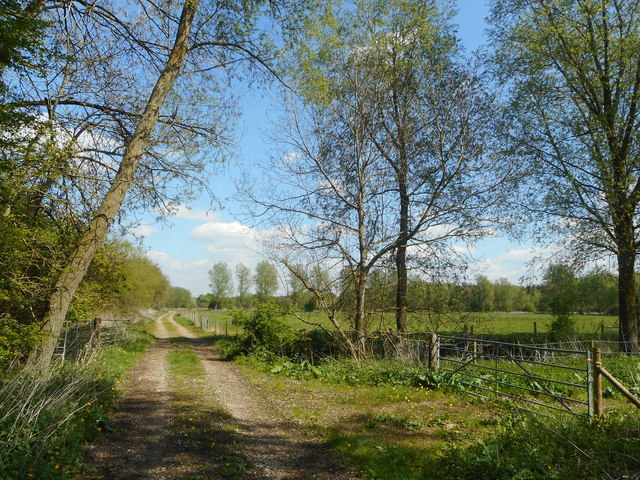
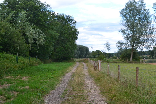
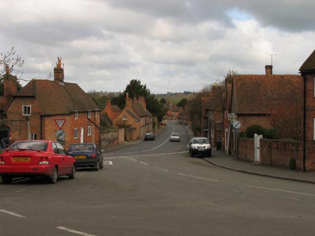
Aldermaston is a civil parish located in the county of Berkshire, England. It lies approximately 48 miles west of London and is situated along the River Kennet. The village of Aldermaston is the main settlement within the parish.
The area has a rich history, with evidence of human habitation dating back to the Neolithic era. It was mentioned in the Domesday Book of 1086 and has remained a significant location throughout the centuries. Aldermaston is perhaps best known for its association with the Aldermaston Court, a manor house that was once the residence of royalty and high-ranking individuals.
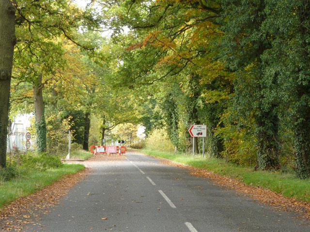
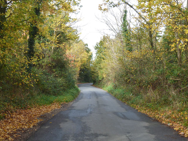
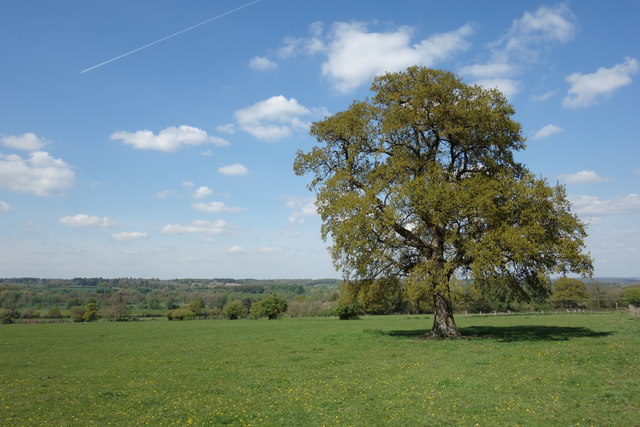
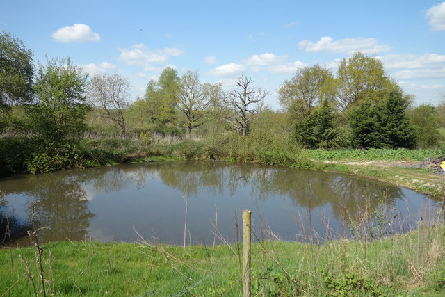
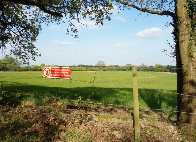
Today, the parish is predominantly rural, with a mixture of residential areas and agricultural land. The village itself has a small population and retains a charming, traditional character. It features a selection of amenities, including a primary school, a pub, and a post office.
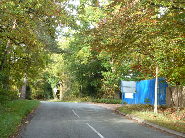
Aldermaston is also notable for its role in the nuclear industry. The Atomic Weapons Establishment (AWE) is situated within the parish and is responsible for the design, production, and support of the UK's nuclear weapons. While the AWE site is highly secure and not open to the public, its presence has had a significant impact on the local economy and employment opportunities.
Overall, Aldermaston is a picturesque civil parish with a rich history and a diverse range of attractions. Its rural setting, combined with its proximity to London, makes it an attractive location for those seeking a peaceful lifestyle within easy reach of the capital.
If you have any feedback on the listing, please let us know in the comments section below.
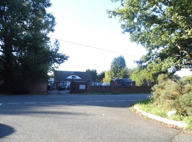
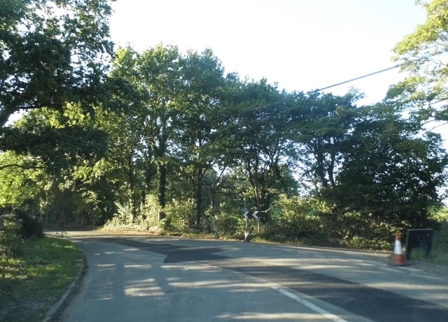
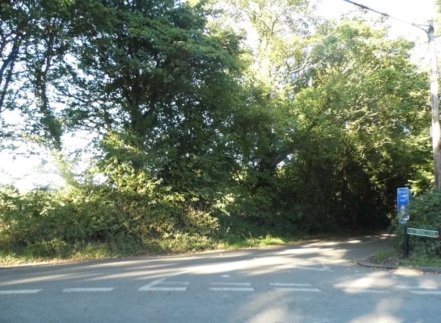
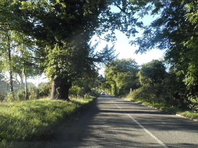
Aldermaston Images
Images are sourced within 2km of 51.376842/-1.141847 or Grid Reference SU5964. Thanks to Geograph Open Source API. All images are credited.


Aldermaston is located at Grid Ref: SU5964 (Lat: 51.376842, Lng: -1.141847)
Unitary Authority: West Berkshire
Police Authority: Thames Valley
What 3 Words
///jots.spiking.loafing. Near Tadley, Hampshire
Nearby Locations
Related Wikis

Aldermaston Court
Aldermaston Court is a country house and private park built in the Victorian era for Daniel Higford Davall Burr with incorporations from a Stuart house...

MERLIN reactor
MERLIN reactor was a 10MWt pool-type research reactor at Aldermaston Court, Aldermaston, Berkshire, England which operated from 6 November 1959 until 1962...
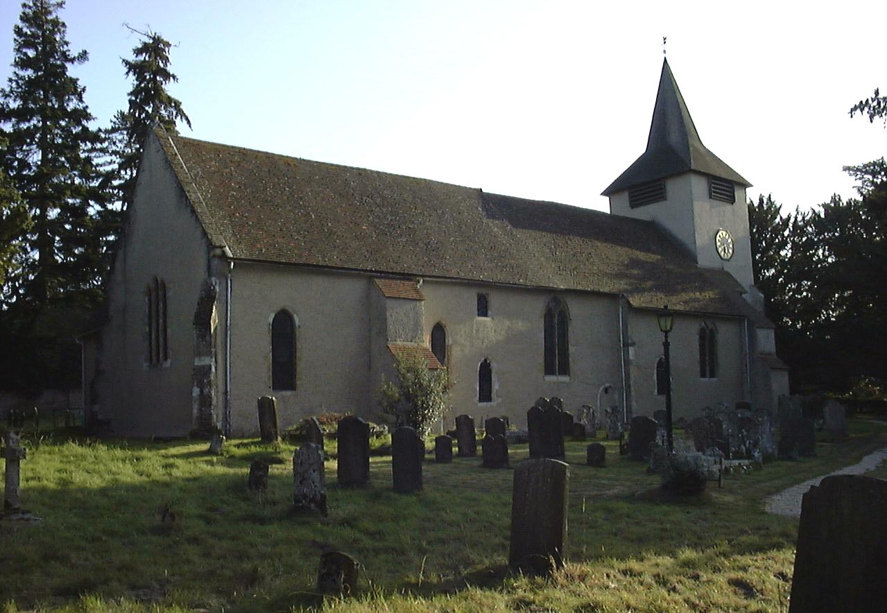
Church of St Mary the Virgin, Aldermaston
The Church of St Mary the Virgin, Aldermaston, is the Church of England parish church of Aldermaston in Berkshire. The church, which is dedicated to St...

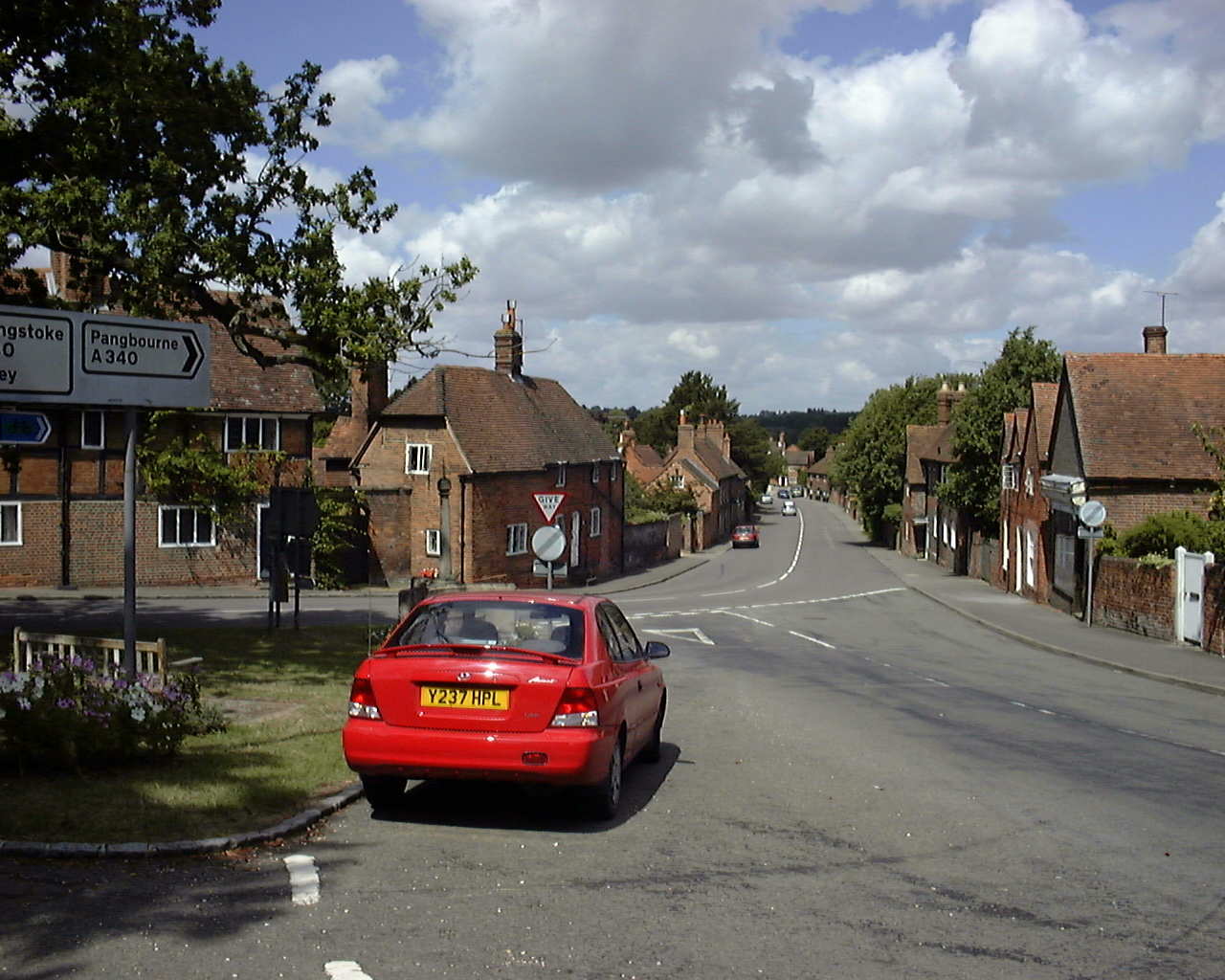
A340 road
The A340 is a major road in the south of England, portions of which are known as the Aldermaston Road, Tadley Hill, Basingstoke Road and Tidmarsh Road...
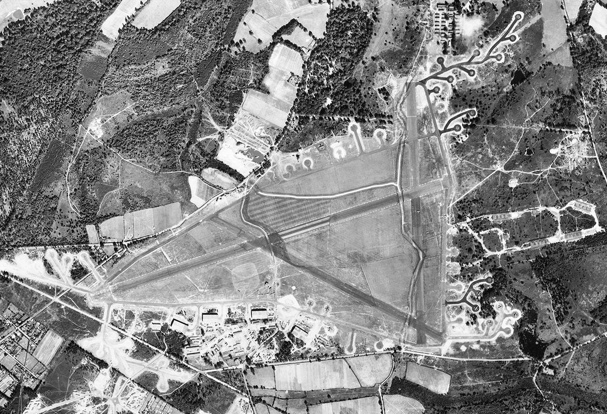
RAF Aldermaston
Royal Air Force Aldermaston, or more simply RAF Aldermaston, is a former Royal Air Force station located 8 miles (13 km) east of Newbury, Berkshire and...
Sceptre (fusion reactor)
Sceptre was a series of early fusion power devices based on the Z-pinch concept of plasma confinement, built in the UK starting in 1956. They were the...

Atomic Weapons Establishment
The Atomic Weapons Establishment (AWE) is a United Kingdom Ministry of Defence research facility responsible for the design, manufacture and support of...
Aldermaston
Aldermaston is a village and civil parish in Berkshire, England. In the 2011 census, the parish had a population of 1,015. The village is in the Kennet...
Nearby Amenities
Located within 500m of 51.376842,-1.141847Have you been to Aldermaston?
Leave your review of Aldermaston below (or comments, questions and feedback).