Ailsworth

Civil Parish in Northamptonshire

England

Ailsworth

Marsh Marigolds at Castor Hanglands Marsh Marigolds grow in the damp areas at Castor Hanglands, a National Nature Reserve west of Peterborough.
Marsh Marigolds at Castor Hanglands Credit: Katie

Ailsworth is a small civil parish located in the county of Northamptonshire, England. It is situated just a few miles west of the city of Peterborough, in the district of City of Peterborough. The parish covers an area of approximately 2.5 square miles.

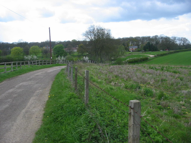
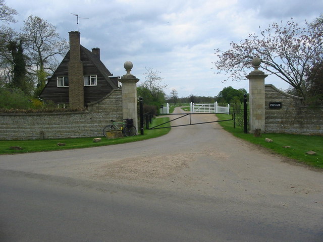
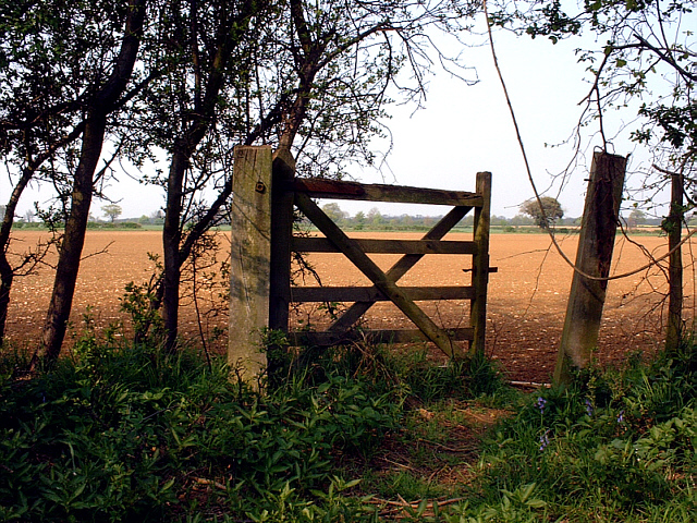
Ailsworth is a predominantly rural area with a population of around 1,200 people. The parish is known for its picturesque countryside, charming cottages, and traditional English village atmosphere. It is surrounded by beautiful rolling hills, fields, and woodlands, making it a popular destination for nature lovers and outdoor enthusiasts.

The village itself is centered around St. Andrew's Church, a historic Grade II listed building dating back to the 13th century. The church is a notable landmark and serves as a focal point for the local community.

Ailsworth has limited amenities, with a small village hall serving as a community hub for events and gatherings. However, residents have easy access to the nearby city of Peterborough, which offers a wide range of services, including schools, healthcare facilities, shopping centers, and entertainment options.

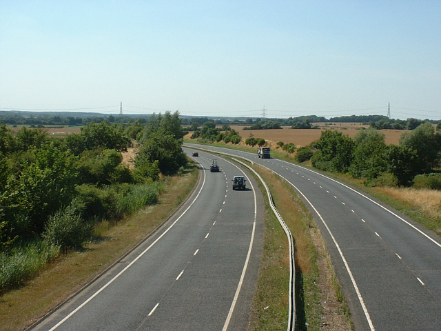
The parish is well-connected to the wider region, with good transport links. The A47 road passes through the village, providing convenient access to neighboring towns and cities. Ailsworth also benefits from regular bus services, connecting it to Peterborough and other nearby locations.

Overall, Ailsworth offers a peaceful and idyllic rural lifestyle, while still being within reach of larger urban areas for additional amenities and services.

If you have any feedback on the listing, please let us know in the comments section below.
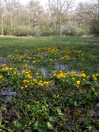
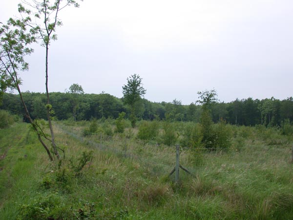
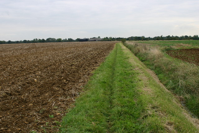
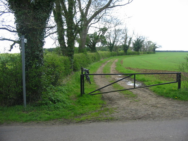
Ailsworth Images

Images are sourced within 2km of 52.592228/-0.345856 or Grid Reference TF1200. Thanks to Geograph Open Source API. All images are credited.

Marsh Marigolds at Castor Hanglands Marsh Marigolds grow in the damp areas at Castor Hanglands, a National Nature Reserve west of Peterborough.
Marsh Marigolds at Castor Hanglands
Marsh Marigolds grow in the damp areas at Castor Hanglands, a National Nature Reserve west of Peterborough.
Castor Hanglands NNR Castor Hanglands was formerly a hunting ground for local kings. Now it's a nature reserve with an interesting mix of habitats. The fencing is to keep the Fallow Deer out.
Castor Hanglands NNR
Castor Hanglands was formerly a hunting ground for local kings. Now it's a nature reserve with an interesting mix of habitats. The fencing is to keep the Fallow Deer out.
Bridleway and farmland northeast of Castor
Farmland north of Upton, Peterborough – typical landscape for the limestone plateau between Stamford and Peterborough.
Farmland north of Upton, Peterborough
– typical landscape for the limestone plateau between Stamford and Peterborough.
Pasture behind Model Farm, Upton, Peterborough
Oaks in farmland, Upton, Peterborough
Contorted willow, Upton, Peterborough
Upton Church near Peterborough Part of the Shrunken Medieval Village
Upton Church near Peterborough
Part of the Shrunken Medieval Village
Open Farmland near Milton Park Path leading into open farmland near Milton Park to the west of Peterborough.
Open Farmland near Milton Park
Path leading into open farmland near Milton Park to the west of Peterborough.
Belsize Farm Belsize Farm near the village of Marholm.
Belsize Farm
Belsize Farm near the village of Marholm.
Stamford Lodge - Milton Park Stamford Lodge stands at the entrance to one of the driveways leading into Milton Park.
Stamford Lodge - Milton Park
Stamford Lodge stands at the entrance to one of the driveways leading into Milton Park.
Gated Wall nr Marholm, Peterborough One of the gates in the drystone wall surrounding Milton Park, nr Marholm, Peterborough.
Gated Wall nr Marholm, Peterborough
One of the gates in the drystone wall surrounding Milton Park, nr Marholm, Peterborough.
Southern entrance to Castor Hanglands NNR, a few miles west of Peterborough The signs on the gate warn that Dexter cattle are grazing within the reserve. Elsewhere are signs warning walkers to be aware of the bull!
Southern entrance to Castor Hanglands NNR, a few miles west of Peterborough
The signs on the gate warn that Dexter cattle are grazing within the reserve. Elsewhere are signs warning walkers to be aware of the bull!
A47 at Ailsworth, Peterborough, looking west The A47 looking west as it passes beneath Helpston Road, Ailsworth, Peterborough. The break in the central barrier serves as a crossing for pedestrians and is signed as such on each carriageway. The road is quiet on Sundays - anyone using this crossing at any other time, risks life or limb!
A47 at Ailsworth, Peterborough, looking west
The A47 looking west as it passes beneath Helpston Road, Ailsworth, Peterborough. The break in the central barrier serves as a crossing for pedestrians and is signed as such on each carriageway. The road is quiet on Sundays - anyone using this crossing at any other time, risks life or limb!
The road into Ailsworth Helpston Road runs downhill into the village of Ailsworth, near Peterborough. The road narrows and levels out following a steep descent from the flyover crossing above the A47 just north of the village. The speed limit is often ignored, as I have confirmed on many occasions while walking pass the walls on the right.
The road into Ailsworth
Helpston Road runs downhill into the village of Ailsworth, near Peterborough. The road narrows and levels out following a steep descent from the flyover crossing above the A47 just north of the village. The speed limit is often ignored, as I have confirmed on many occasions while walking pass the walls on the right.
Old gate in Castor Hanglands NNR An old gate on the eastern edge of Castor Hanglands NNR, nr Peterborough. The photograph was taken in April; the field beyond had already been seeded and come the Summer will be covered with golden corn.
Old gate in Castor Hanglands NNR
An old gate on the eastern edge of Castor Hanglands NNR, nr Peterborough. The photograph was taken in April; the field beyond had already been seeded and come the Summer will be covered with golden corn.
Salter's Tree, Marholm Road Where the public bridleway crosses Marholm Road. Some storage sheds.
Salter's Tree, Marholm Road
Where the public bridleway crosses Marholm Road. Some storage sheds.
Clay Lane Byway
Clay Lane Byway
Show me another place!

Ailsworth is located at Grid Ref: TF1200 (Lat: 52.592228, Lng: -0.345856)

Division: Soke of Peterborough

Unitary Authority: Peterborough

Police Authority: Cambridgeshire

What 3 Words

///wasp.draining.compiler. Near Upton, Cambridgeshire

Related Wikis

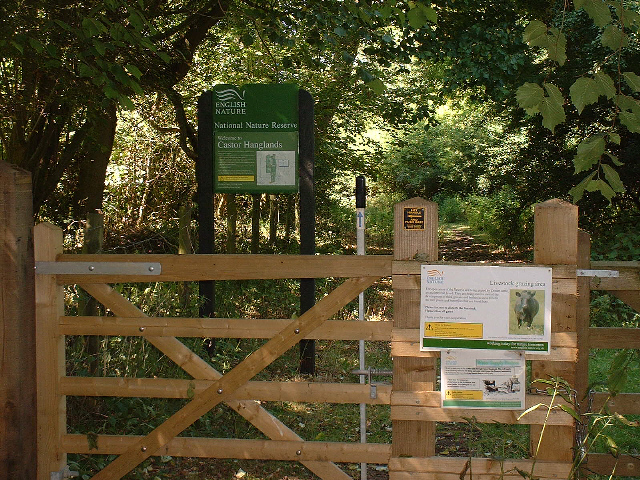
Castor Hanglands National Nature Reserve

Castor Hanglands is an 89.8-hectare (222-acre) biological Site of Special Scientific Interest west of Peterborough in Cambridgeshire. The site is also...

Upton, Peterborough

Upton is a village and civil parish in the Peterborough district, in the ceremonial county of Cambridgeshire, England. For electoral purposes it forms...

Ailsworth

Ailsworth or Ailesworth is a village and civil parish in the City of Peterborough unitary authority, about 4.5 miles (7.2 km) west of the city centre....

Castor, Cambridgeshire

Castor is a village and civil parish in the City of Peterborough unitary authority, about 4 miles (6.4 km) west of the city centre. The parish is part...

Milton Hall

Milton Hall near Peterborough, is the largest private house in Cambridgeshire, England. As part of the Soke of Peterborough, it was formerly part of Northamptonshire...

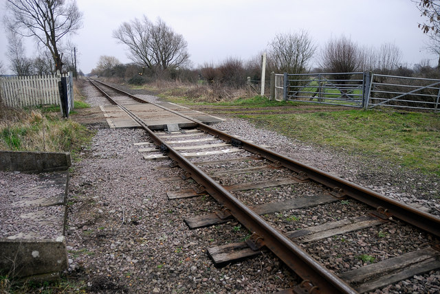
Castor railway station

Castor Railway Station was a station serving the villages Castor and Ailsworth in Cambridgeshire. It was on the old London and North Western Railway Northampton...

Sutton, Peterborough

Sutton is a small village and civil parish in the Peterborough district, in the north-west of Cambridgeshire, England. Situated about 5.7 miles from Peterborough...

Nene Valley Railway

The Nene Valley Railway (NVR) is a preserved railway in Cambridgeshire, England, running between Peterborough Nene Valley and Yarwell Junction. The line...

Nearby Amenities

Located within 500m of 52.592228,-0.345856
Information: board
Operator: Natural England
Tourism: information
Lat/Long: 52.5913716/-0.3502861
Information: board
Tourism: information
Lat/Long: 52.5942593/-0.3516162
Information: board
Tourism: information
Lat/Long: 52.5944972/-0.3489313
The data included in this document is from www.openstreetmap.org. The data is made available under ODbL.

Have you been to Ailsworth?

Leave your review of Ailsworth below (or comments, questions and feedback).