Abbotsham
Civil Parish in Devon Torridge
England
Abbotsham
Abbotsham is a charming civil parish located in the county of Devon, England. Situated on the North Devon coast, it is nestled between the towns of Bideford and Clovelly. The parish covers an area of approximately 6 square miles and is home to a population of around 900 people.
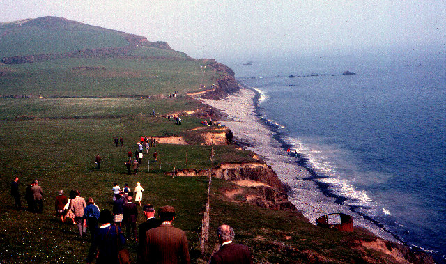
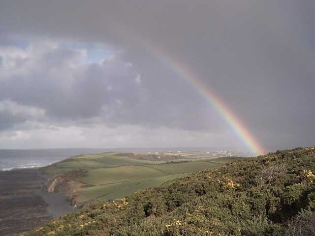
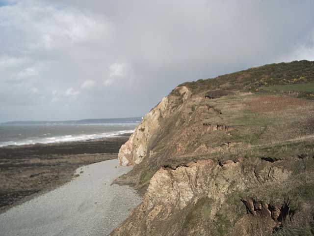
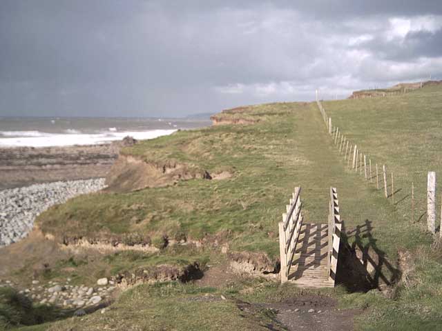
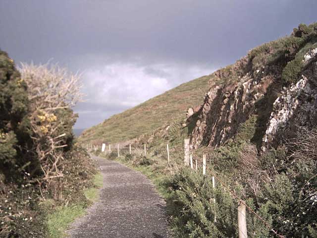
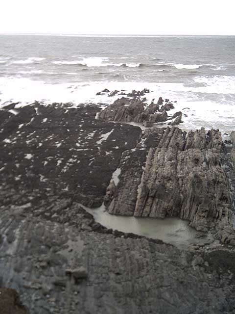
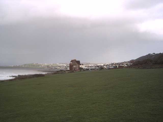
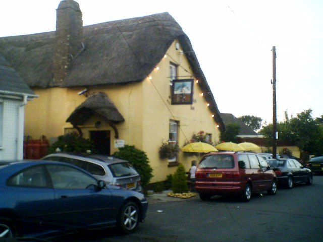
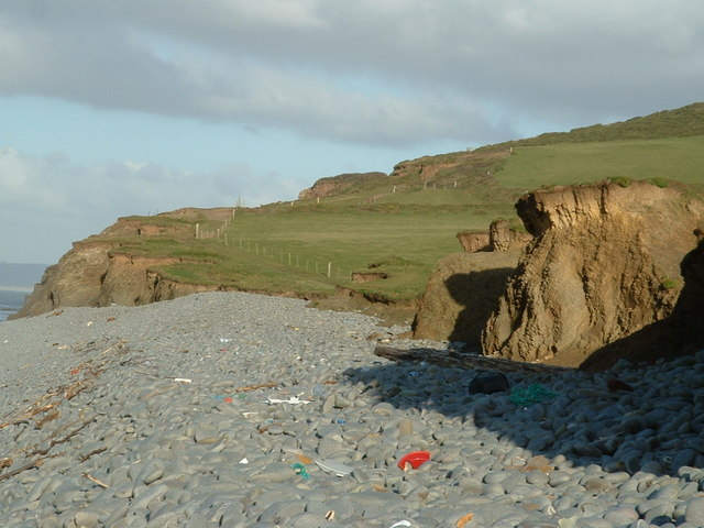
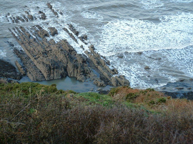
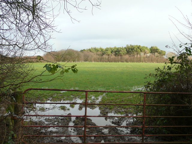
Abbotsham is renowned for its picturesque landscapes and stunning natural beauty. The parish encompasses a diverse range of habitats, including rolling hills, lush farmlands, and a scenic coastline. The village itself is characterized by its quaint thatched cottages, historic buildings, and a sense of tranquility that is highly sought after by both locals and visitors alike.
The parish is known for its strong sense of community and vibrant social scene. It boasts a range of amenities and facilities, including a village hall, primary school, church, and a popular pub. Abbotsham is also home to several local businesses, including traditional craftspeople, farmers, and independent retailers.
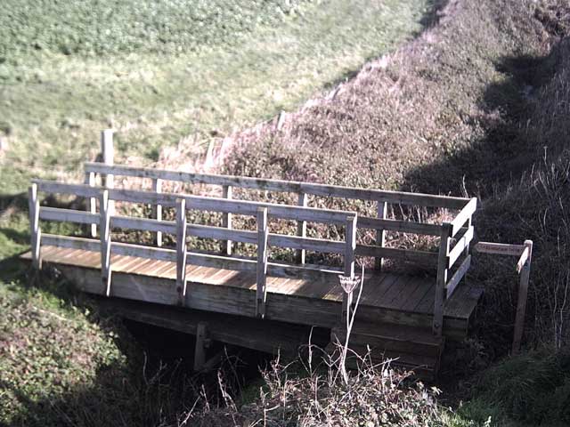
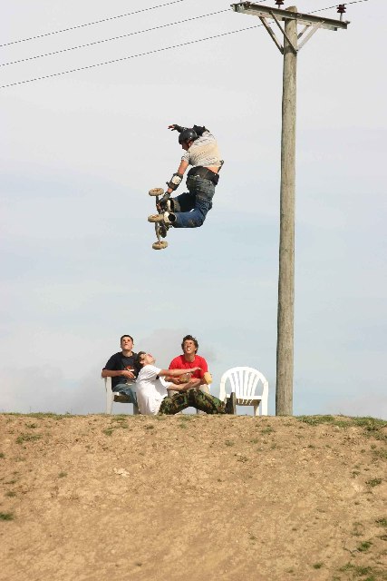
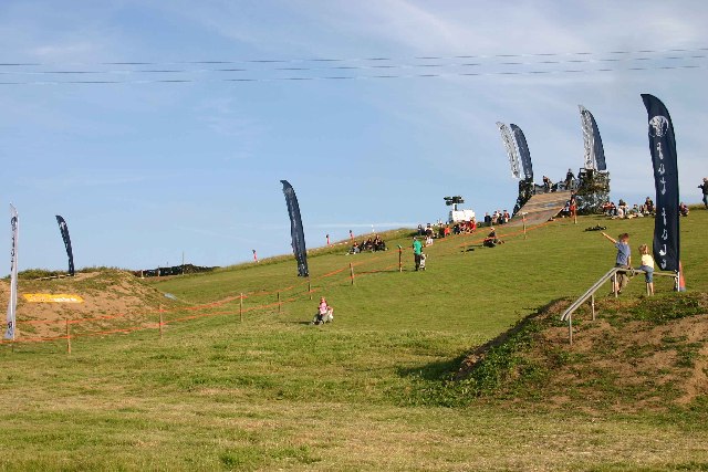
For outdoor enthusiasts, Abbotsham offers a wealth of opportunities. The coastline provides breathtaking views and is ideal for long walks, picnics, and fossil hunting. There are also several nearby beaches, such as Westward Ho! and Bude, which are perfect for swimming, surfing, and sunbathing. Inland, the parish offers numerous footpaths and bridleways, making it an excellent destination for hikers, cyclists, and horse riders.
Overall, Abbotsham is a delightful civil parish that showcases the best of Devon's natural beauty and community spirit. Its idyllic setting, friendly atmosphere, and abundance of recreational activities make it a truly special place to live or visit.
If you have any feedback on the listing, please let us know in the comments section below.
Abbotsham Images
Images are sourced within 2km of 51.022002/-4.255832 or Grid Reference SS4127. Thanks to Geograph Open Source API. All images are credited.
Abbotsham is located at Grid Ref: SS4127 (Lat: 51.022002, Lng: -4.255832)
Administrative County: Devon
District: Torridge
Police Authority: Devon & Cornwall
What 3 Words
///supposing.piglet.steadier. Near Northam, Devon
Nearby Locations
Related Wikis
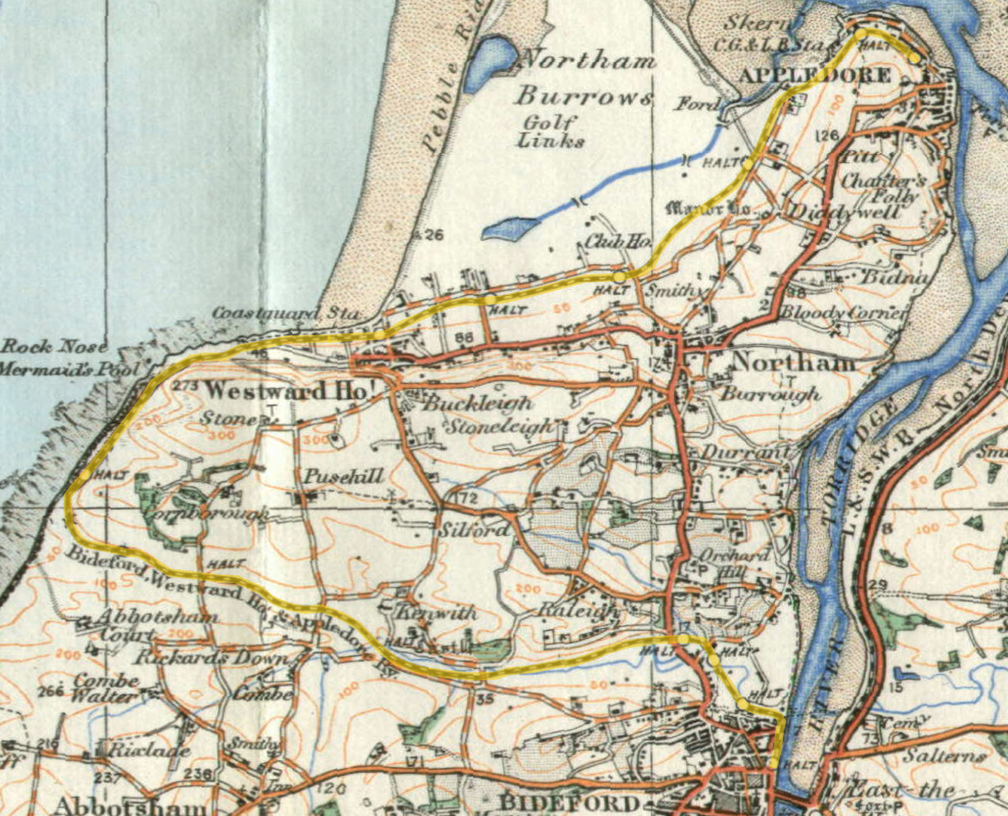
Abbotsham Road railway station
Abbotsham Road railway station was a small railway station on the independent Bideford, Westward Ho! and Appledore Railway in the English county of Devon...

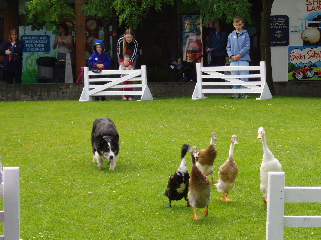
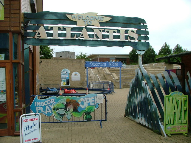
The Big Sheep
The Big Sheep is an amusement farm park located in Abbotsham, Devon, England. The site was originally Barton Farm, a busy sheep farm owned by six generations...
Kenwith Castle Halt railway station
Kenwith Castle Halt was a minor railway station or halt/request stop in north Devon, close to Bideford, serving the nearby castle of that name. It lay...
Cornborough railway station
Cornborough railway station was a minor railway station or halt/request stop in north Devon, close to Westward Ho!, serving holiday makers visiting the...
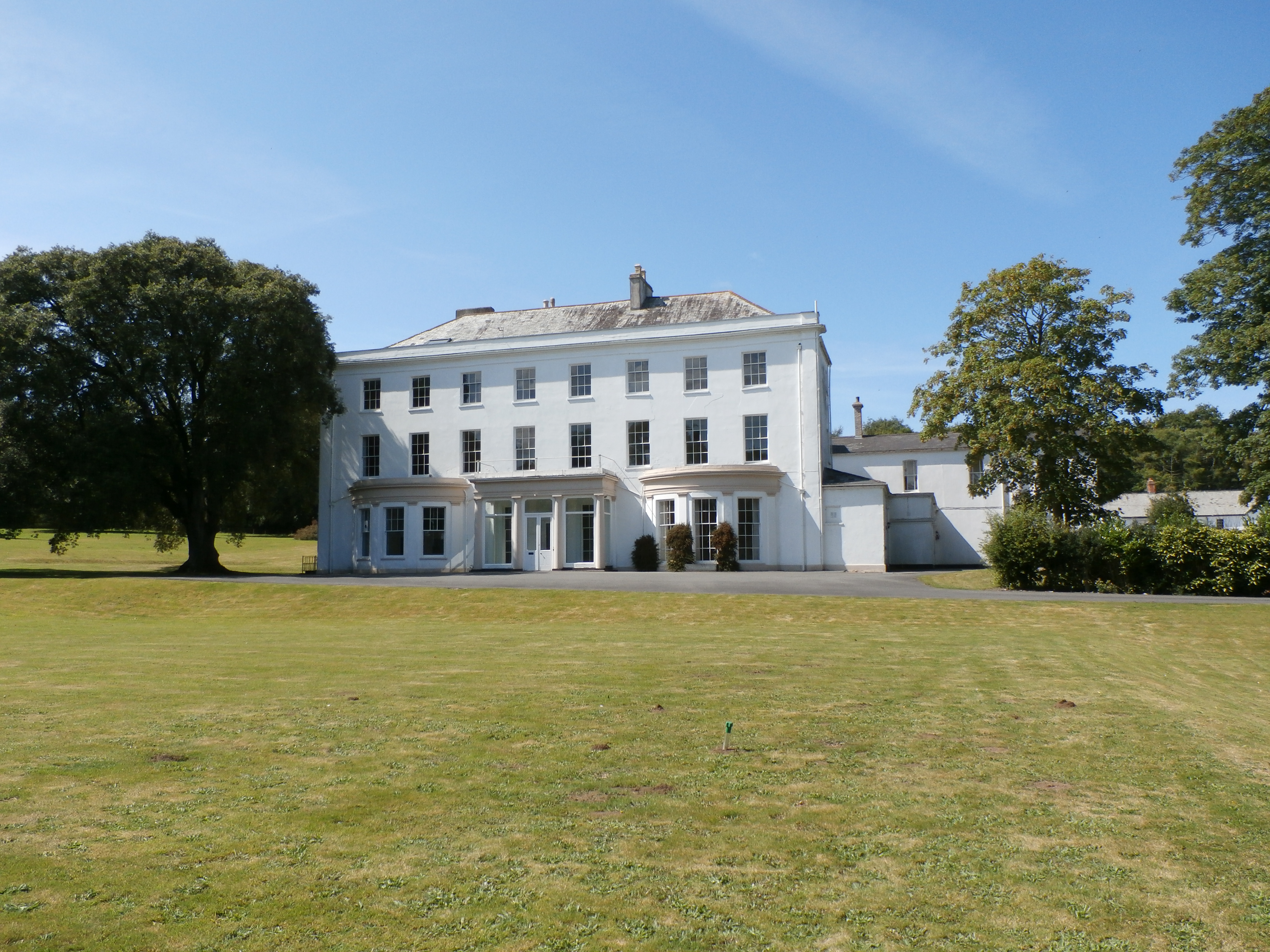
Moreton House, Bideford
Moreton House (formerly until 1821 Daddon House) is a grade II listed country house and former large estate near Bideford, North Devon, England. The house...

Tarka Valley Railway
The Tarka Valley Railway in Devon, England, is a heritage railway that plans to rebuild the Torrington to Bideford section of the Barnstaple to Halwill...

Bideford Railway Heritage Centre
The Bideford Railway Heritage Centre CIC (previously the Bideford and Instow Railway Group) in Devon, England is a community interest company that is responsible...
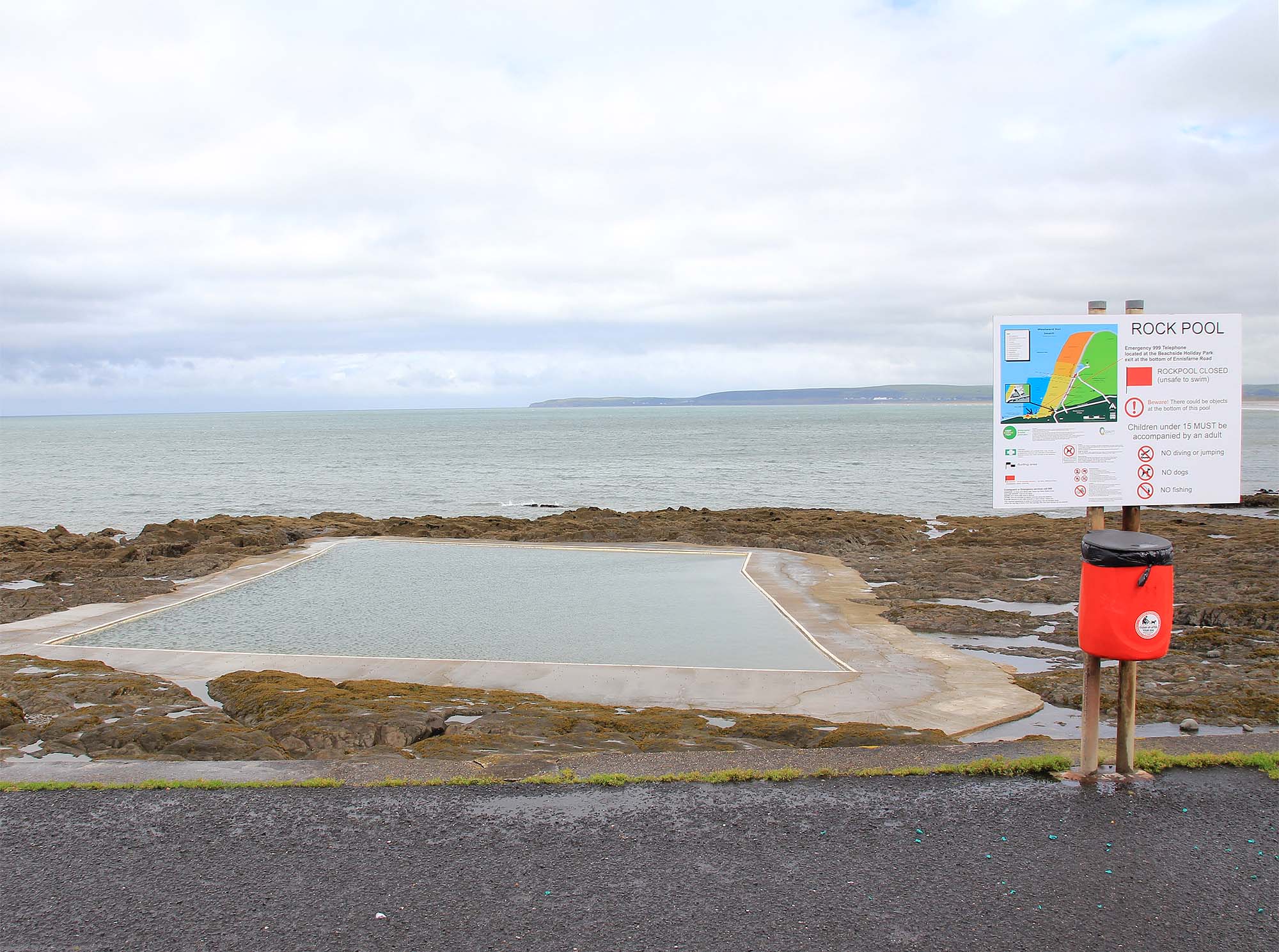
The Rock Pool, Westward Ho!
The Rock Pool at Westward Ho!, Bideford, Devon is a sea-water tidal swimming pool. == History == Among the rocks on the southern end of Westward Ho! beach...
Nearby Amenities
Located within 500m of 51.022002,-4.255832Have you been to Abbotsham?
Leave your review of Abbotsham below (or comments, questions and feedback).